We left my car beside the entrance to the forest at the high point on the B839 Gleann Beag Road, also known as Hells’ Glen, which links the A815 Glen Kinglas to Strachar Road with the B828 Rest and Be Thankful to Lochgoilhead Road. From there we walked south-east along a forest track gaining a bit of height. Beyond the zigzags the track levelled out then more height was gained as the track deteriorated before reaching the un-named stream flowing down from Stob an Eas.
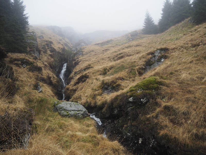
Once across this stream we continued through some rough ground along what appeared to be a firebreak to reach the Allt Beinn an t-Seilich which was a bit tricky to cross. Thereafter we climbed through a gap in the forest staying well above this stream and its waterfall.
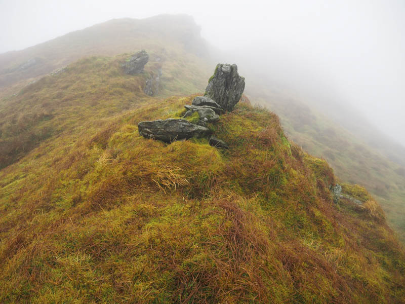
On exiting the forest we entered the low cloud and with limited visibility climbed Sron Beinn an t-Seilich, initially over some rough ground but with height the walking became easier. From this Sub Simm we headed to the cairn marking the summit of the Hump and Graham Top, Beinn an t-Seilich.
We descended west to the col with Stob an Eas before climbing onto its north-east ridge initially up a fairly steep gully with a few rocky outcrops then to the Sub Simm, Stob an Eas North Top, before reaching the Graham, Stob an Eas. Here we found a bit of shelter from a cool breeze for lunch.
The descent of Stob an Eas was in poor visibility but eventually we reached the break in the trees where the un-named stream from Stob an Eas flowed. Once through this gap we rejoined the track used earlier in the day and followed it back to the start.
- Time taken – 5 hours.
- Distance – 9.75 kilometres.
- Height climbed – 720 metres.