Earlier In the day I climbed the Marilyn, Leagag on the south side of Loch Rannoch, then drove west along the B846 towards Rannoch Station and parked to its east and opposite the vehicle track known as the Road to The Isles and sign-posted Corrour.
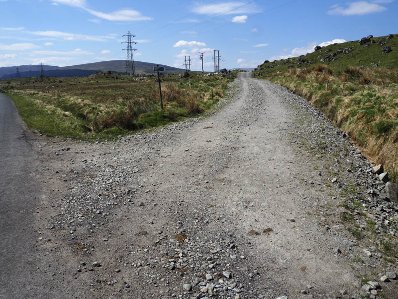
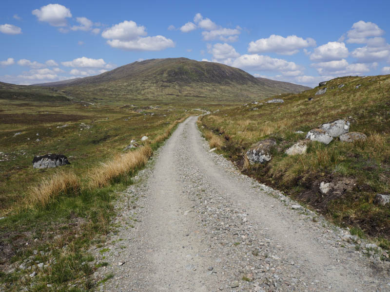
Immediately after the start of this track there was a locked gate but it was easily by-passed. The track, which had been upgraded for work on the hydro schemes at Corrour, made for easy walking in a north-westerly then northerly direction.
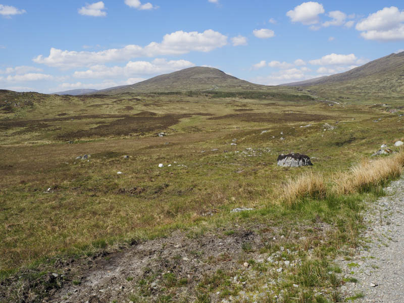
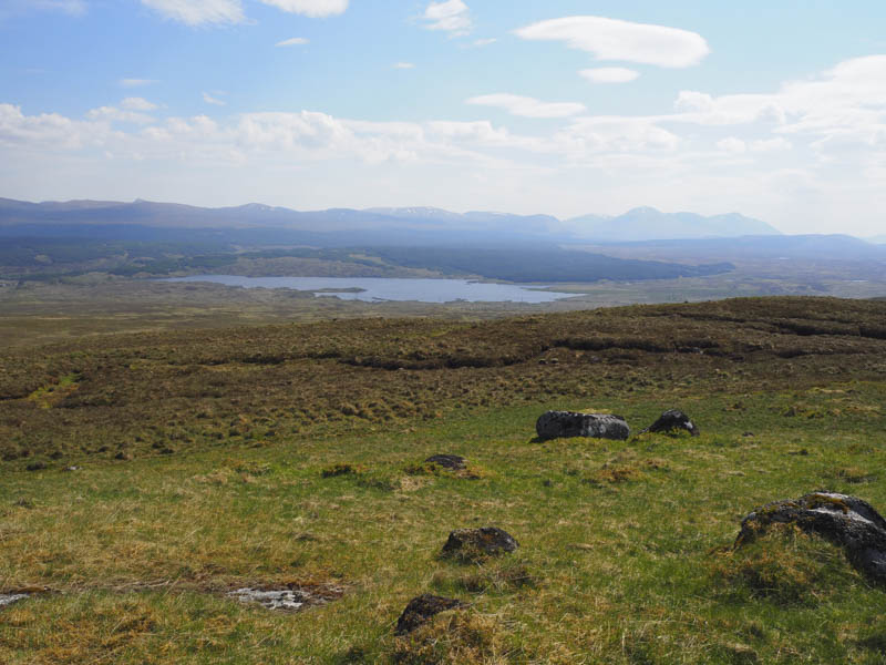
Prior to reaching the new bridge over the Allt Eigheach I headed along the route to Lochan Sron Smeur which turned out to be a peaty track. I soon left it and commenced the ascent of Sron Smeur later coming across an ATV track which I used to gain a bit of height.
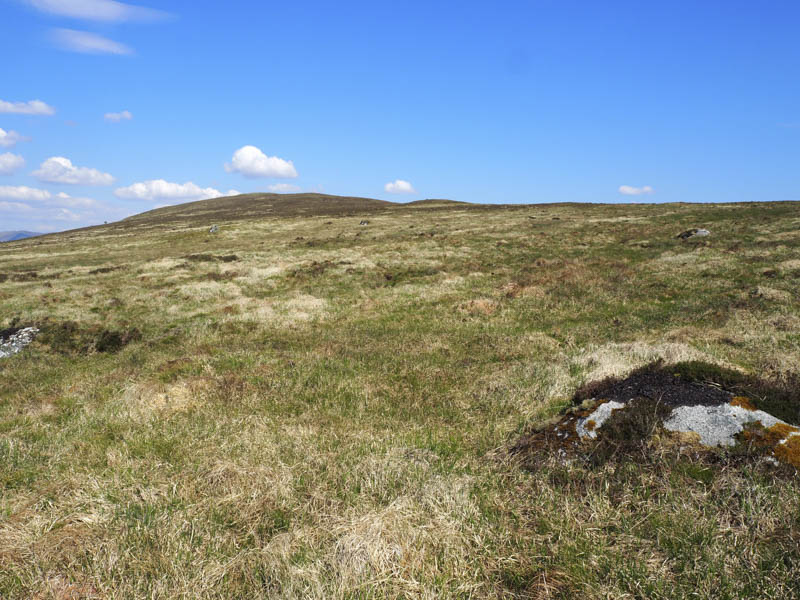
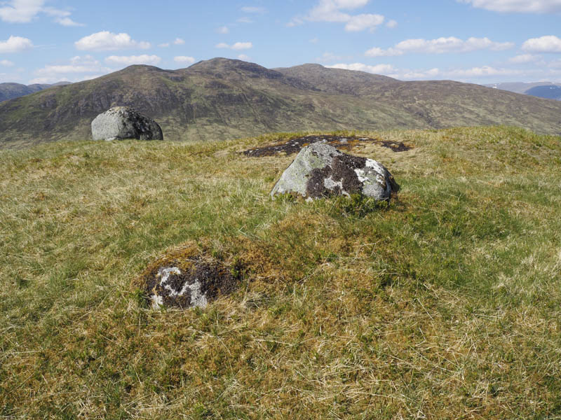
Then it was across pathless mixed vegetation to reach the large boulder marking the summit of this Marilyn.
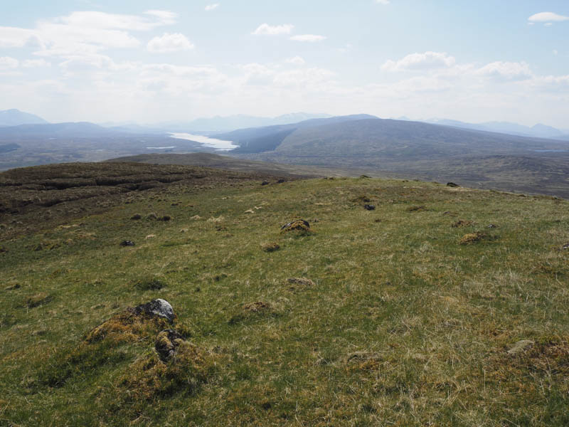
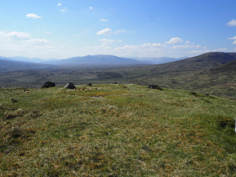
I descended to the Bealach nan Losgann, which would have been rather damp in wet conditions, then it was over Meall na Mucarach before heading for a copse of trees beside the vehicle track used earlier. This track was then followed back to the start.
- Time taken – 2.25 hours.
- Distance 8.5 kilometres.
- Height climbed – 275 metres.