Drove along Glen Moidart, accessed from the A861 Lochailort to Acharacle Road at Ardmolich, parking at the end of the public road with space for several vehicles then walked northeast along the vehicle track to the south of Loch nan Lochan and the River Moidart.
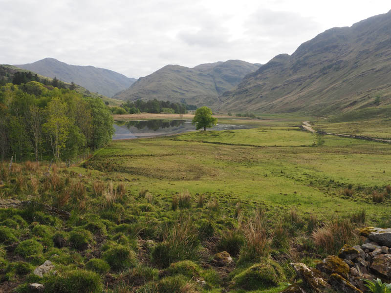
It was obvious from setting out that there were cattle around, and on approaching the vehicle track to Glen Forslan spotted three cows heading towards me. The first one was rather inquisitive, so by rattling walking poles they moved away, the two younger ones running off. On reaching the hydro power building beside the track for Glen Forstan the rest of the herd were heading southwest all very nervous and running past me.
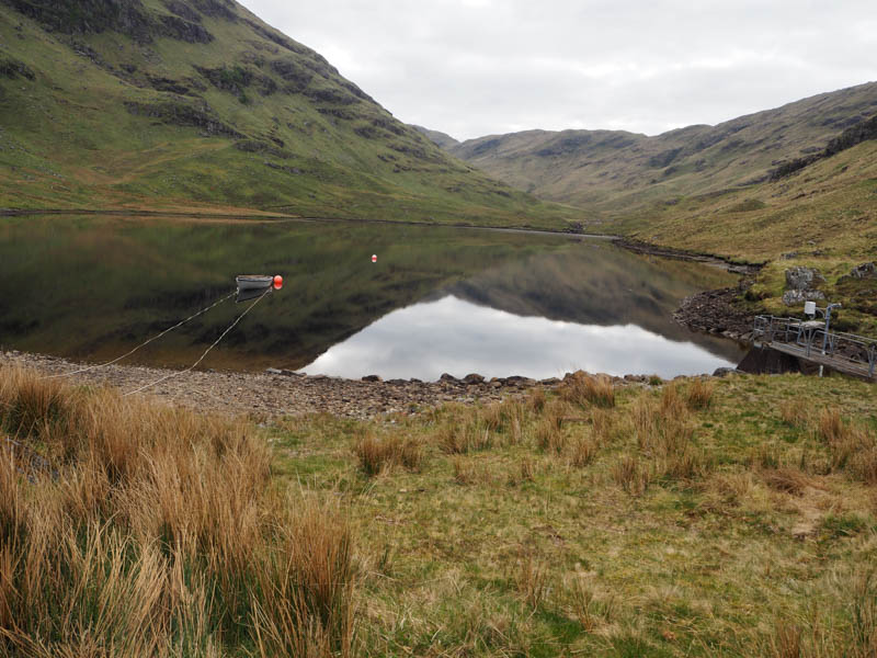
A steady climb led to the reservoir in Glen Forstan where the track came to an end.
Opted to walk along the south side of the reservoir firstly coming across a single electric wire which I crawled under. Beyond the ground was very rough with areas churned up by cattle making for slow progress.
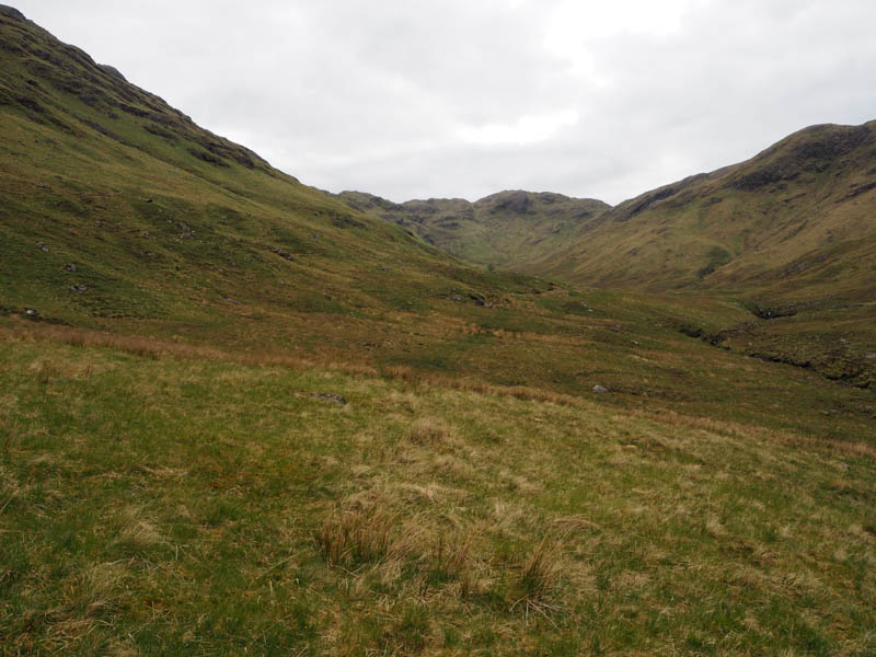
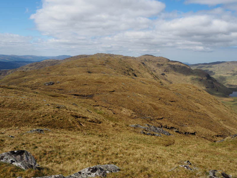
Crossed the Glenforstan River, easy enough as the water level was low, and came across an ATV track. Despite being rough and wet in sections this improved progress, although higher up it became more indistinct still with evidence of cattle, probably from last summer. The gradient increased as I climbed the gully to Bealach Ban then onto Cruach nan Caorach. The highest point of this Tump was a rock.
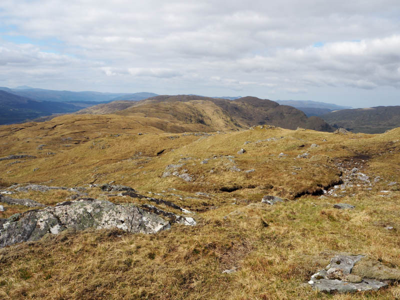
Took a break here before returning to the bealach and making the easy ascent of the Tump, Cruach nan Caorach Southwest Top. The highest point appeared to be some vegetation.
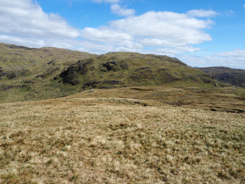
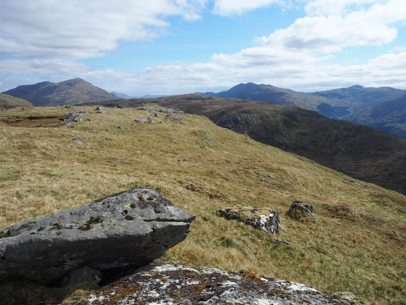
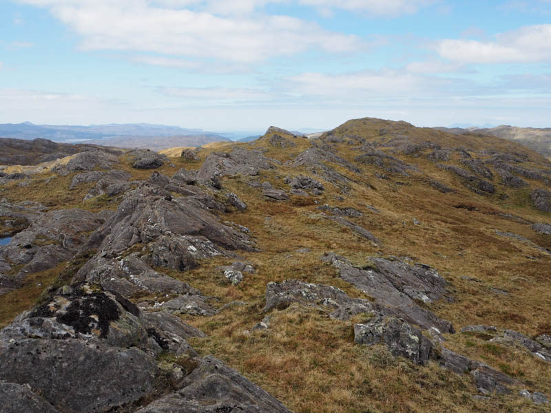
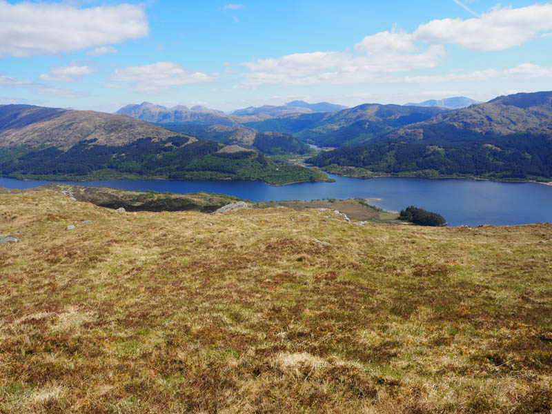
A descent southwest to a small lochan was followed by an easy ascent of the Tump, Fireach Dubh. There was a choice of high points, but a large outcrop was probably it.
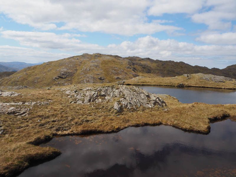
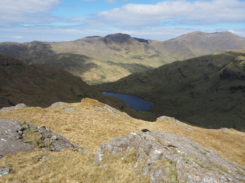
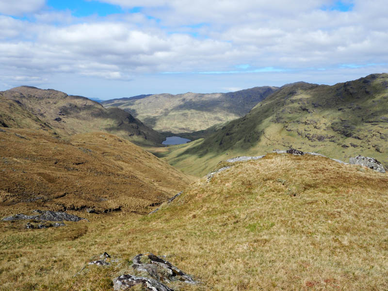
Below this summit was the small Loch Moidart which was bypassed to the north before descending to the Bealach Coir’ an Fheoir, then onto the east ridge of Creag nan Lochan East Top, a bit rocky and steeper. The highest point of this Tump appeared to be an outcrop.
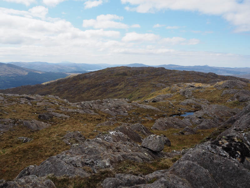
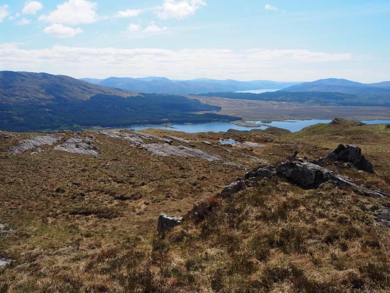
There was more rocky terrain and undulations on the descent southwest to well south of Lochan na Creige then it was onto Creag nan Lochan South Top. Visited several high points but settled for an outcrop to the south as the summit. During this search met a chap who had come up directly from Glen Moidart.
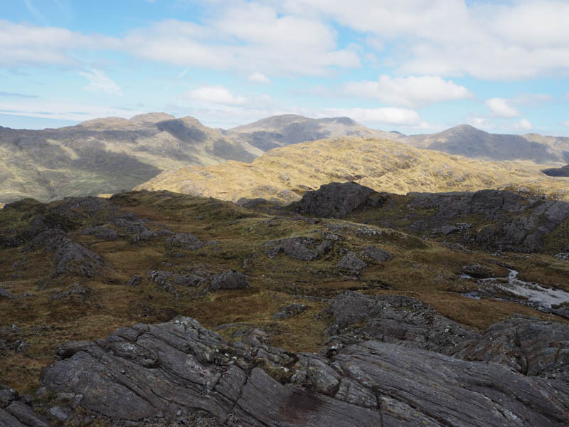
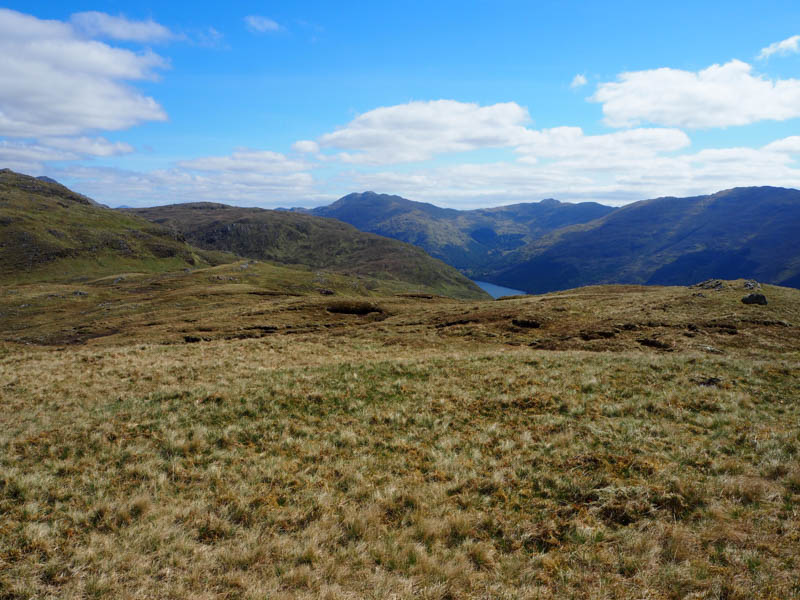
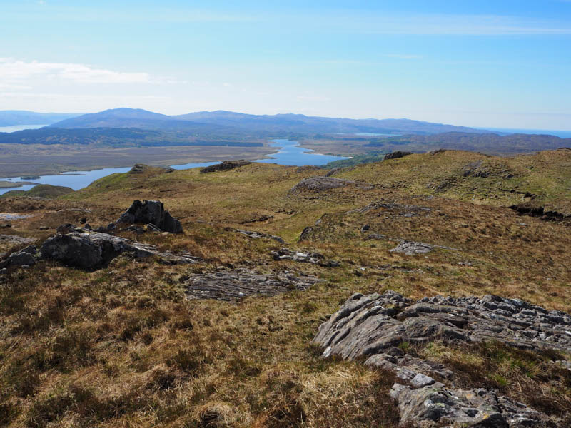
It was then a long descent SSE before ascending Cruach a’ Ghaill avoiding some boggy areas and crossing a few dips. There appeared to be a choice of three highpoints for this Tump but decided a large boulder was probably it.
The return to Glen Moidart took me north across rough, boggy ground with a few short climbs to reach an area north of another Lochan na Creige.
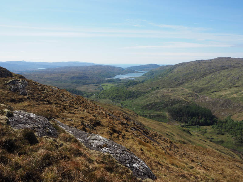
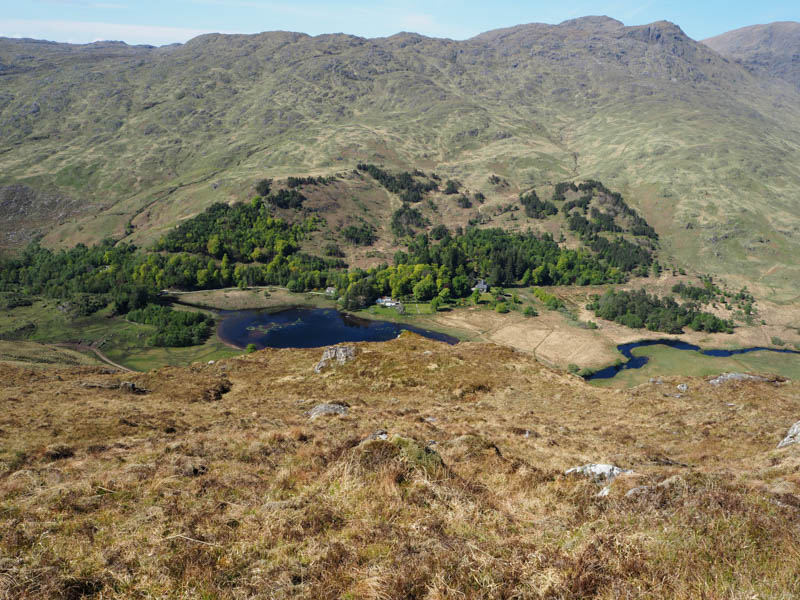
It was then a steep descent, avoiding crags and crossing a couple of gullies, to join the vehicle track in the glen opposite Glenmoidart House. It was then a short walk back to the car. The cattle were resting beside a feeding area near the start of the track.
- Time taken – 7 hours 50 mins.
- Distance – 17 kilometres.
- Ascent- 885 metres.