I had never explored the area east of Lochan na h-Earba having climbed the Grahams to its north from Moy at the west end of Loch Laggan. So my plan was to climb the hills to the east and south of Lochan na h-Earba starting from Kinloch Laggan.
I located a parking space, capable of taking three vehicles, on the north side of the A86 Newtonmore to Spean Bridge Road a couple of hundred metres west of the Gatehouse at Kinloch Laggan.
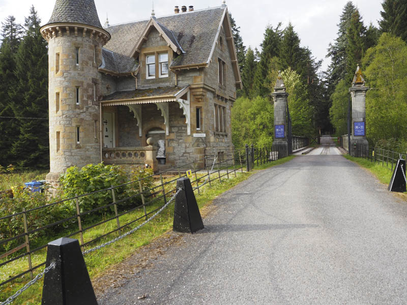
I then walked along the A86 to the Gatehouse, crossed the road bridge over the River Pattack, went round a barrier preventing unauthorised vehicular access, and commenced the three kilometres walk south-west on a tarred road to Ardverikie House.
I was overtaken by three vans so I presumed some work was being undertaken at the House.
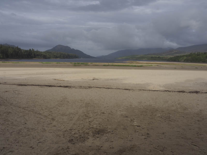
Once opposite this property, it was hidden by trees, I left the tarred road and walk south up a rough estate track, crossing a good quality forest track, to reach Loch Doire nan Sgiath.
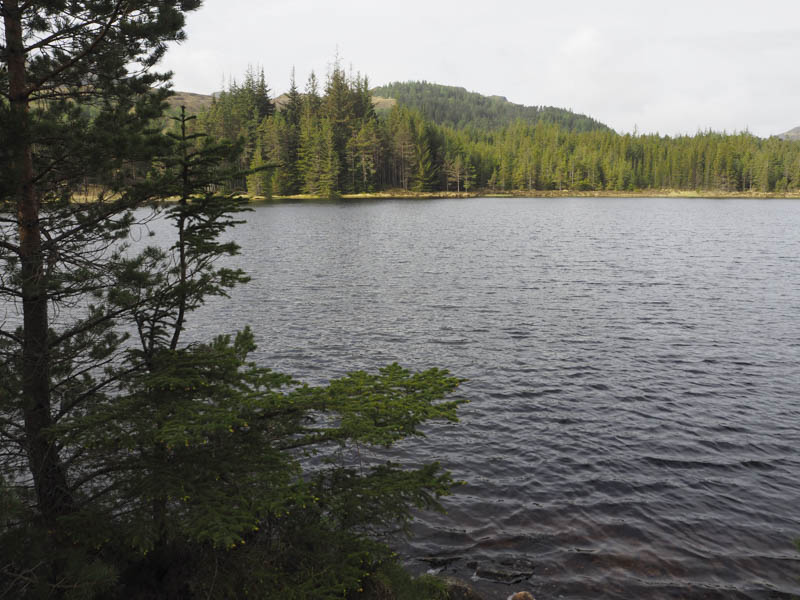
Beyond the loch the track continued to and beyond a couple of gates in a deer fence, both padlocked, including the pedestrian one.
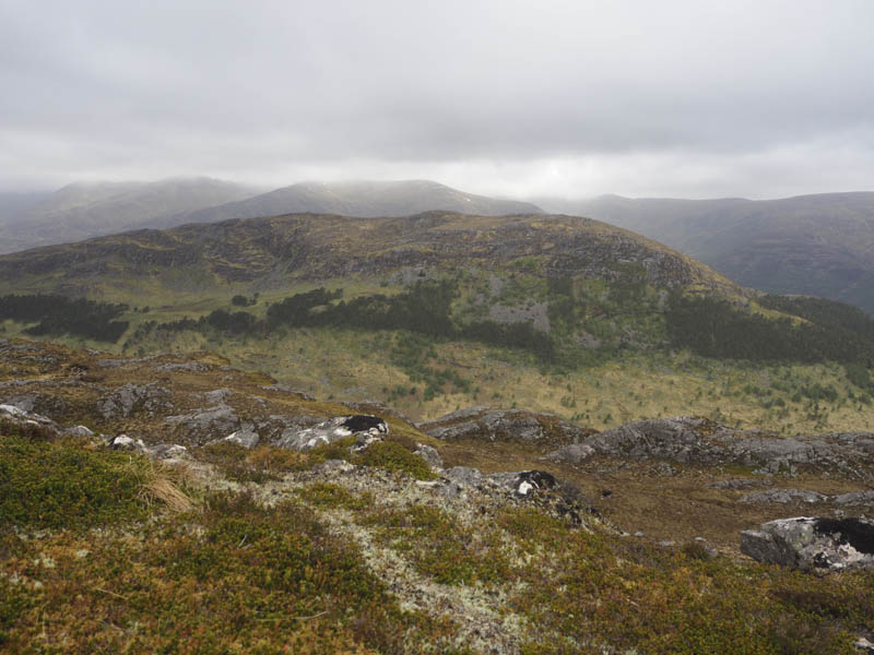
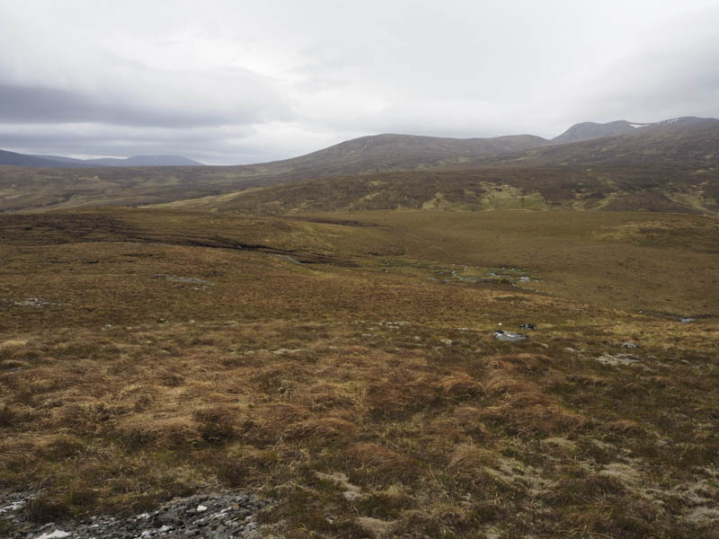
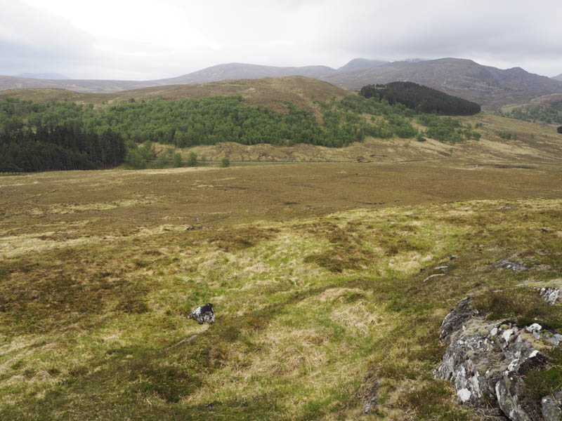
With no option I crossed this obstacle and continued south then joined an ATV track which took me onto the north-east ridge of Creag a’ Chuir.

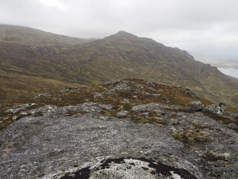
It consisted of grass, heather and higher up some moss. This took me passed a small lochan and onto the final ascent of Creag a’ Chuir. The highest point of this Graham Top and Hump was a rock on an outcrop. The wind here was strong and gusty.
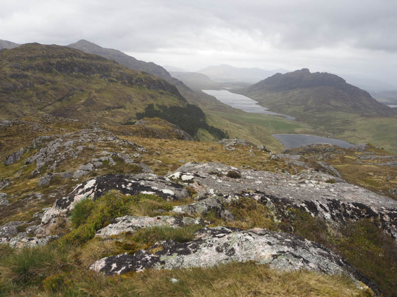
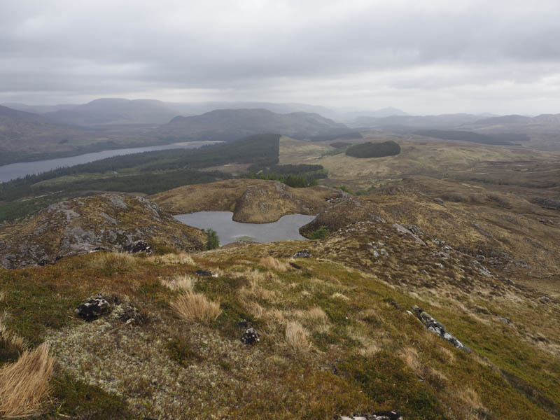
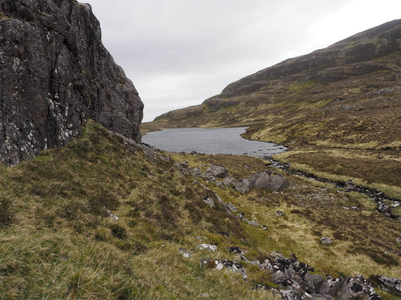
The descent south-west involved working my way through some crags to reach the west end of Loch Coire Chuir.
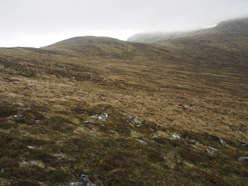
It was then a steady climb onto an outcrop marking the summit of the Graham Top, Creag a’ Mhaigh.
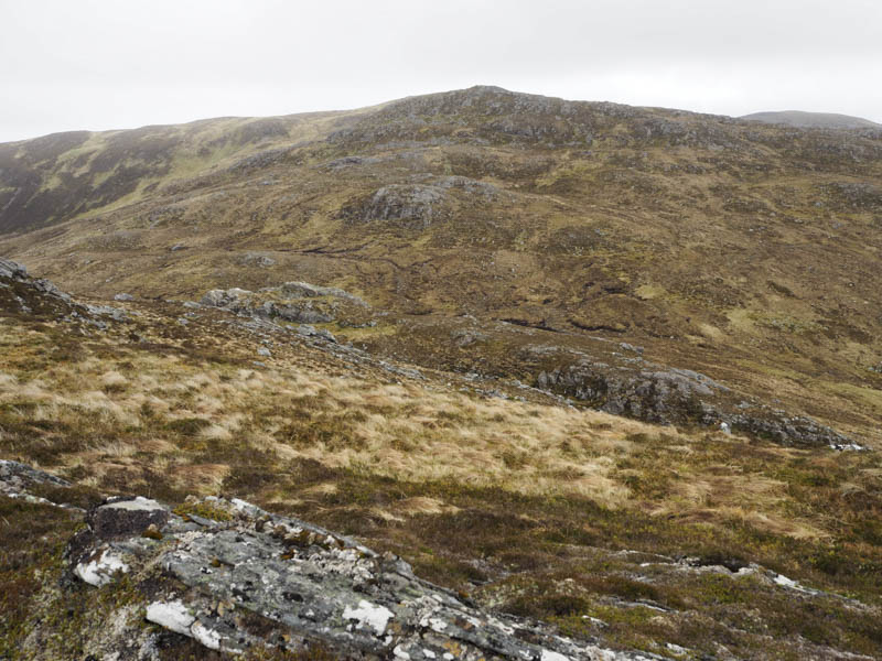
This was followed by a short descent south-east then I gained some height as I continued in a similar direction below Sron nan Tarmachan to reach the col between it and Meall Buidhe.
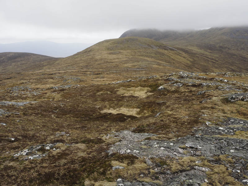
It was then an easy climb onto the Corbett Top, Meall Buidhe, the highest point marked by an outcrop.
Another Corbett Top, Meall na Brachdlach, was located further east but I decided that the out and back trip was just a bit too much to add to the day so I returned to the col and climbed Sron nan Tarmachan. The summit of this Corbett Top was marked by an outcrop.
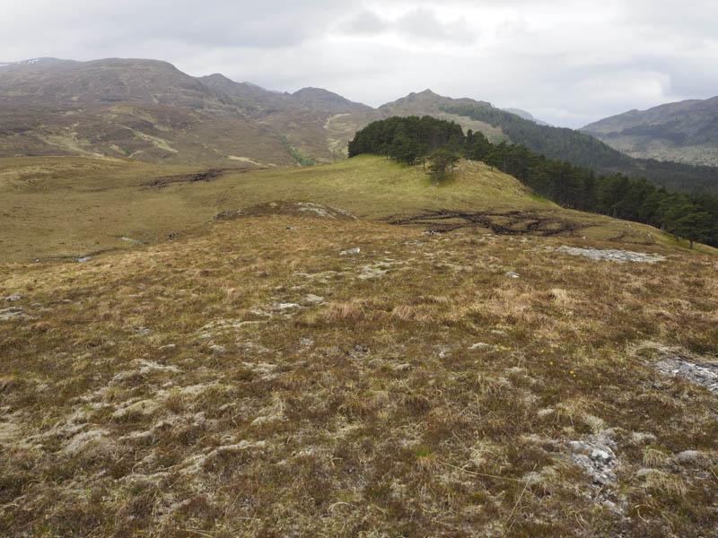
It was then a long descent of Sron nan Tarmachan’s North Ridge, consisting of mixed vegetation and some boulders to below Mullach Doir-ath.
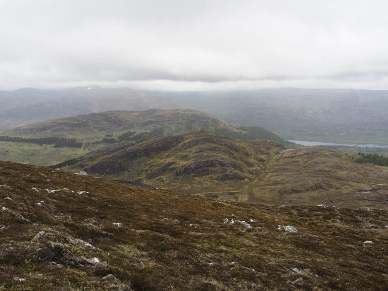
This was followed by a steady climb along the edge of some trees and onto the summit of this Tump which appeared to be a large boulder.
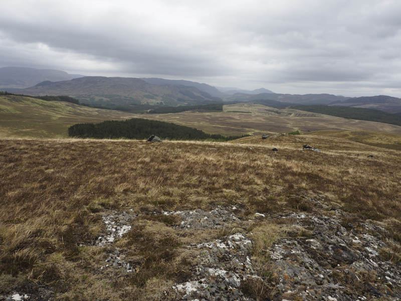
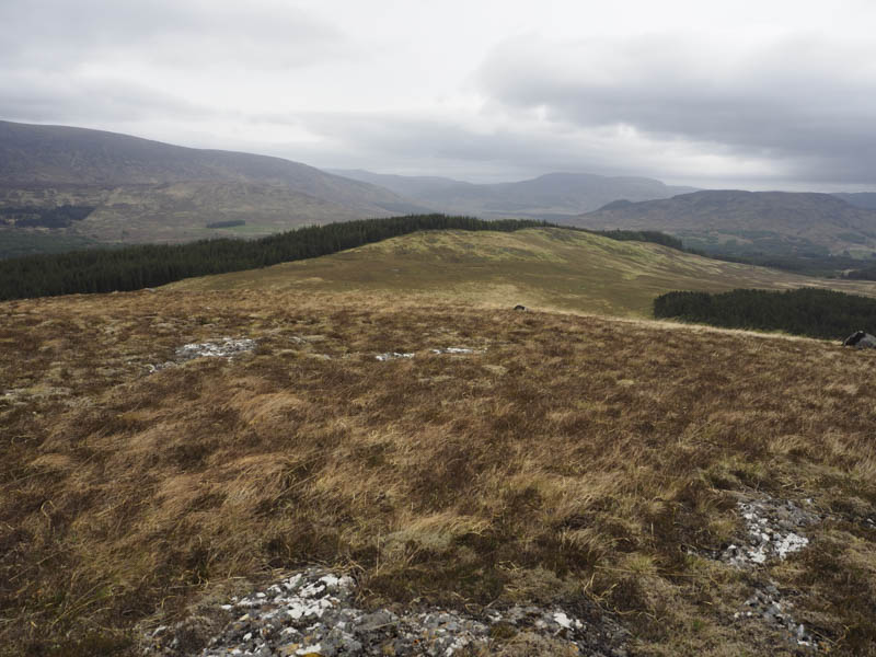
The descent north took me to and through silver birches trees, quite steep here, to reach and cross an estate track. Then it was over more rough vegetation to a deer fence enclosing fir trees. The summit of Druim na Beiste was within the trees so I climbed the fence and around twenty metres into the trees located a clump of moss which appeared to be the highest point of this Tump.
On returning to the other side of the deer fence I followed it north-east until I came to an estate track descending north. This led to the tarred road used earlier that morning, west of some holiday lets, and retraced the outward route back to my car.
- Time taken – 7.5 hours.
- Distance – 21.75 kilometres.
- Height climbed – 1020 metres.