Torr Mor – I left my car in the Kiltarlity Churchyard car park located on the south side of the River Beauly and the A831 Beauly to Cannich road, accessed from the minor Kilmorack to Kiltarlity Road. It appeared that the car park was also used by dog walkers and fishermen.
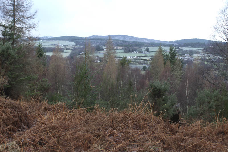
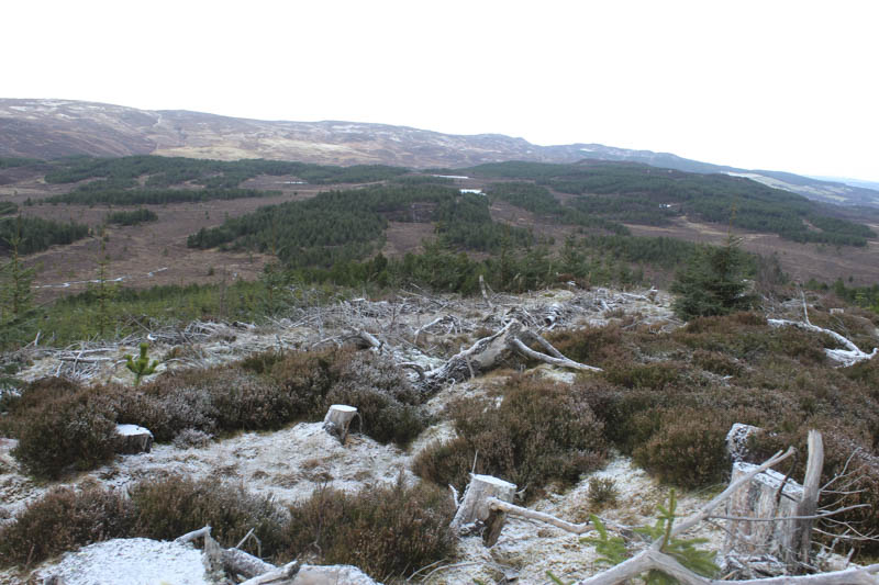
I crossed this minor road and walked west along a path beside the river. The path soon left the riverbank and led to a little used vehicle track. After crossing it there was a short, steep climb of an embankment to reach another vehicle track which was obviously still in use and in a reasonable state of repair, albeit a bit icy and boggy in places. The track wound its way through the woodland and on reaching the north side of Torr Mor I left the track and worked my way through the well spaced trees and rough vegetation, including dead bracken. There were several fallen trees to avoid before reaching the summit of Torr Mor. The highest point of this Tump appeared to be a clump of heather/moss.
The return was by the upward route.
- Time taken – 1 hour 15 minutes.
- Distance – 3.25 kilometres.
- Height climbed 160 metres.
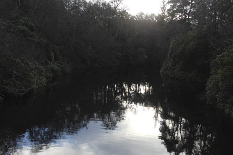
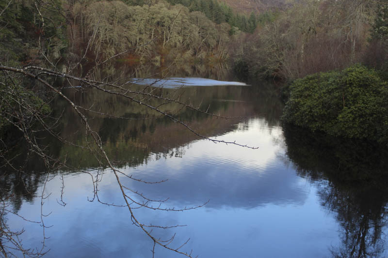
Eilean Aigas – This wee hill appeared to be a bit problematic as it was located on an island created by a split in the River Beauly. On the island was a house apparently owned by the Qatari Royal Family so I was expecting some form of security.
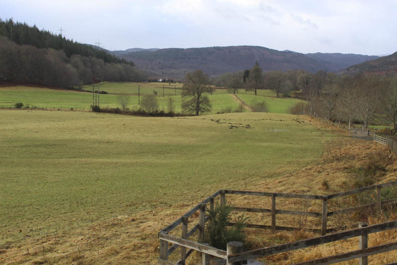
Hughton was my starting point, located at a minor crossroads south-west of Beauly. I parked at the side of the road leading to Eskadale and walked down the private tarred road passed a couple of houses, crossed a cattle grid, to electric controlled gates with a wicket gate at the side.
Beyond these gates was an Estate Office but there didn’t appear to be any activity there, it was Sunday.
The tarred road continued on my descent to the bridge over the River Beauly and immediately beyond there was a very impressive large house.
I didn’t linger here in case I was spotted and followed the tarred road south towards the Lodge. Prior to reaching this property I left the tarred road and walked along a little used track at the side of the river. I did hear voices but never saw anyone nor was the Lodge visible from this route.
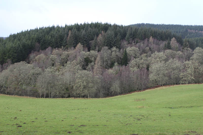
I later left this track and climbed, initially steeply, through the well spaced trees, there were a few fallen ones, to reach the summit of the Tump, Eilean Aigas, which appeared to be some mossy ground beside a tree.
After a coffee break I returned by the approach route but didn’t meet anyone although there was an additional vehicle at the Estate Office.
- Time taken – 1 hour 10 minutes.
- Distance – 3.25 kilometres.
- Height climbed – 140 metres.
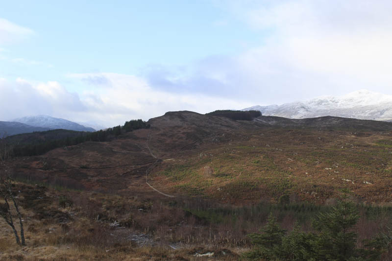
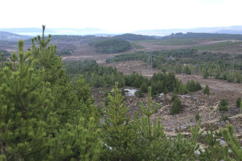
Buachaille Breige North Top – The starting point for this ascent was the vehicle track leading to Erchless Forest Cottage, located on the north side of the A831 Beauly to Cannich Road east of Erchless Castle. I left my vehicle here and passed through a kissing gate, the main gates in the deer fence were padlocked. It was a steady climb north-east passed a communication tower and to the cottage where the numerous kennelled dogs were rather noisy. It would be difficult to pass here without the occupiers of the cottage being aware of your presence.
Beyond, the ground was flatter and the track which was in good condition passed through mature trees then more recently planted ones.
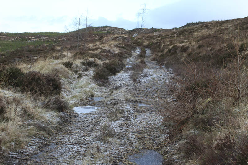
Immediately before the pylons I came across a rough track off to the east but read on the hill-bagging web site (www.hill-bagging.co.uk) not to take this path as it involved crossing a deer fence. Nearby there was another set of gates in a deer fence with the main gate padlocked. Once through the kissing gate there was a track heading east. It was rougher with pools of water and some ice as it wound its way uphill following the line of the pylons.
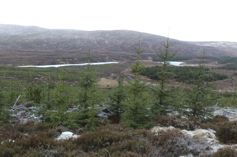
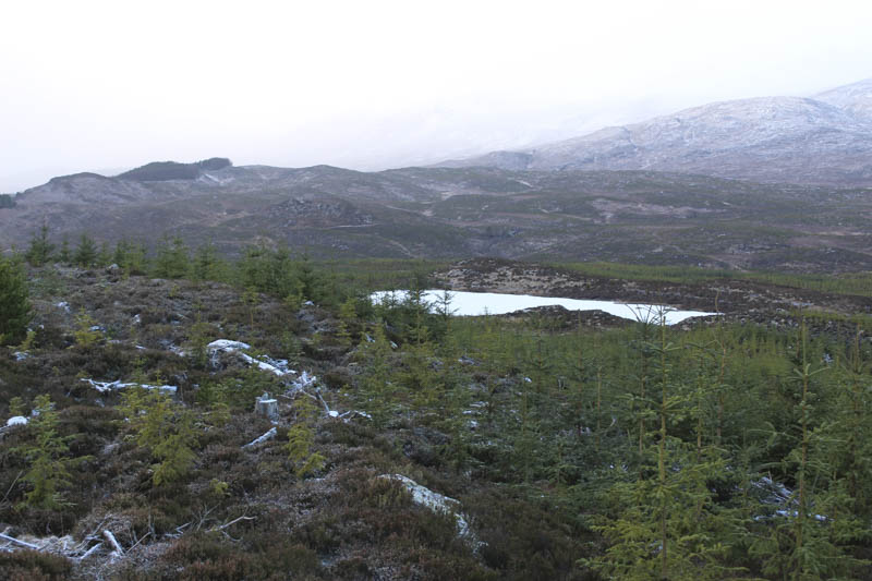
At the track’s highpoint I left it and worked my way through long heather, brash and holes for the recently planted trees, onto the summit of the Tump, Buachaille Breige North Top, marked by an outcrop.
After lunch here I returned by the upward route.
- Time taken 2 hours 15 minutes.
- Distance – 6.25 kilometres.
- Height climbed – 205 metres.