Stob Loch a’ Mhuillin – I headed for Scatwell in Strathconon, accessed from the A832 at Marybank where there are limited parking opportunities. I left my car at the entrance to a quarry, I’ve parked here before, (NH40115561) then walked west along the road to opposite West Lodge and headed up the estate track, the westerly one.
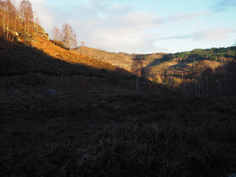
This track led through some trees to a locked gate in a deer fence with an adjoining stile. Once over it the track, which was in reasonable condition, ran alongside the trees and deer fence.
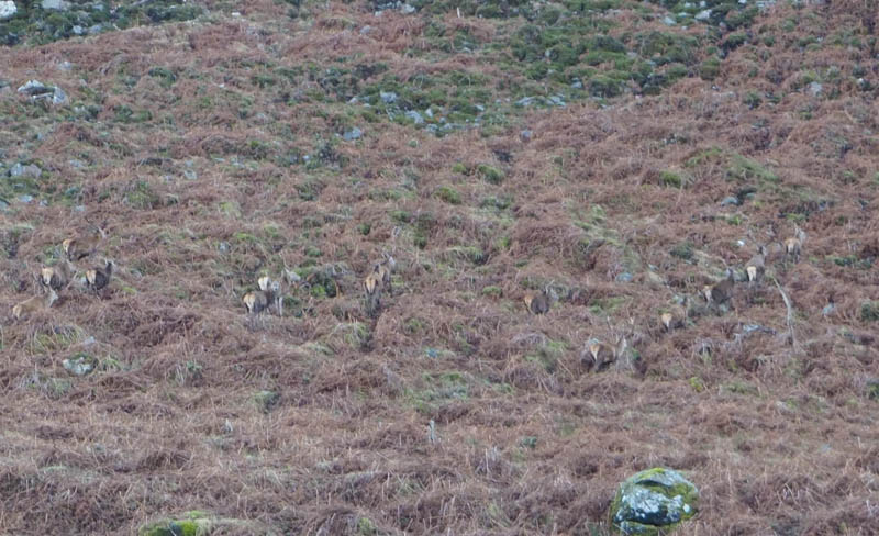
On approaching the end of the forest and fencing I disturbed deer feeding on hay obviously supplied by the estate to keep them going through the winter months.
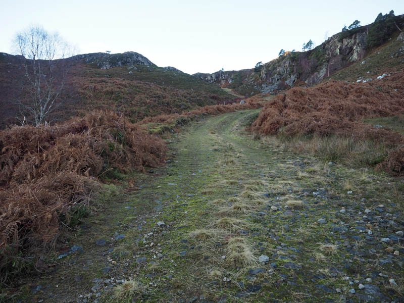
Here I went right at a track junction, initially on grass, then the stony track rose fairly steeply below some crags.
The gradient later eased, and I soon arrived at the north bank of Loch a’ Mhuilinn where there was a large cairn.
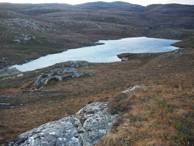
A rough track continued along the west side of the loch, presumed to the boathouse which I spotted later. I left the track and climbed north through heather, dead bracken and some crags onto the summit of the Tump, Stob Loch a’ Mhuillin, marked by a large outcrop.
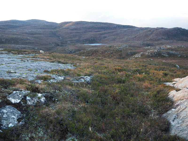
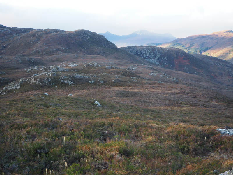
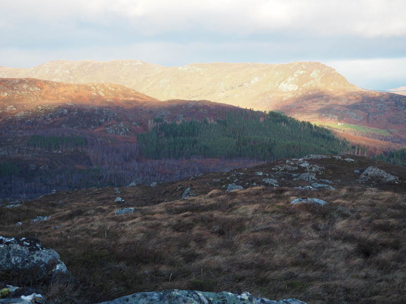
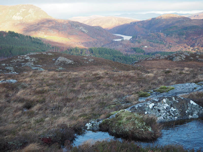
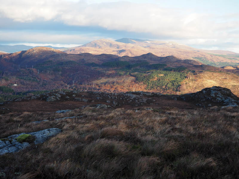
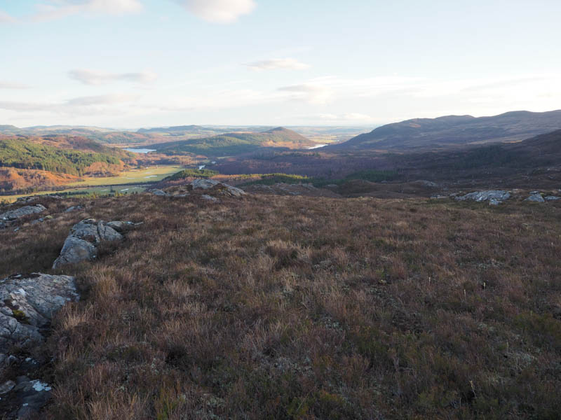
It was windy here but not as strong as forecasted so found a sheltered spot for a coffee break before returning by the upward route.
- Time taken – 1 hour 55 minutes.
- Distance – 4.5 kilometres.
- Height climbed – 265 metres.
Sron a’ Chomair – The previous day I had been on Sron a’ Chomair’s North Top but according to the hill-bagging site the South Top is the highest point although they may be the same height. To be able to record this hill as climbed I needed to return and ascend the North Top.
From Strathconon, see above, I headed along the minor road on the north side of the glen and parked at the start of the track on the west side of Loch Achilty, immediately south of Altnabreac.
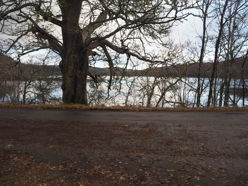
I passed through the pedestrian gate, the main gate was padlocked, and walked north, later north-west up the forest track, which obviously wasn’t in regular use with some longish vegetation and overhanging bushes. It was an easy walk as was the path through the trees that replaced it and terminated at Loch Droma.
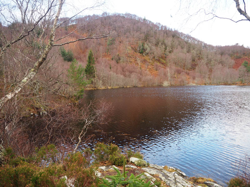
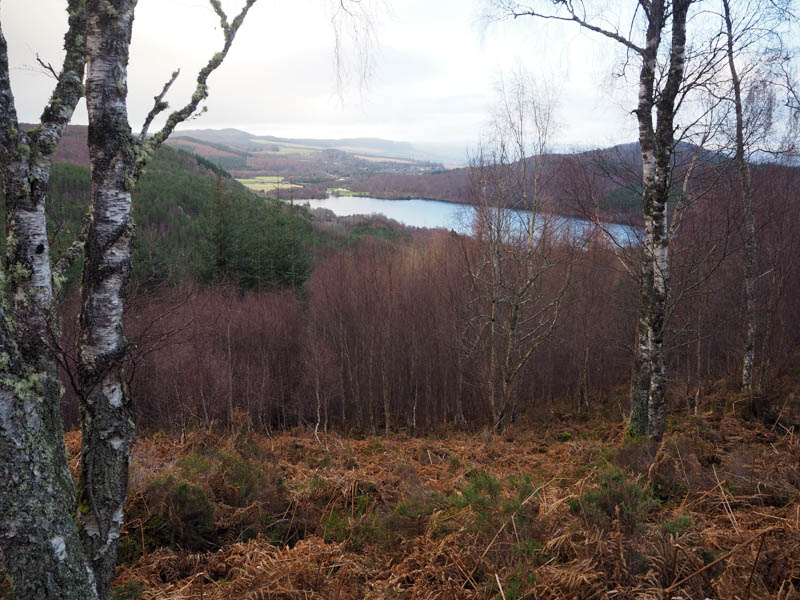
It was hard work as I headed south-west through lots of dead bracken and some heather, over a few moss covered fallen trees, and into the birch woodland. It was a steep climb with the trees well enough spaced to allow progress.
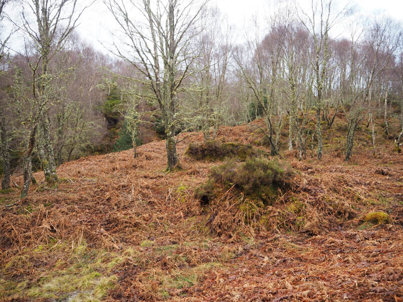
This took me to a deer fence which was a bit unstable then more dead bracken, heather and trees before a small clearing was reached. A moss/heather covered outcrop marked the summit of the Tump, Sron a’ Chomair. (North Top)
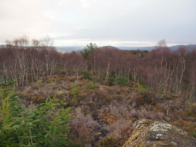
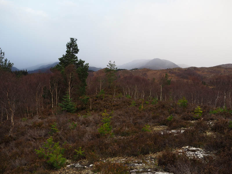
The return was by the approach route.
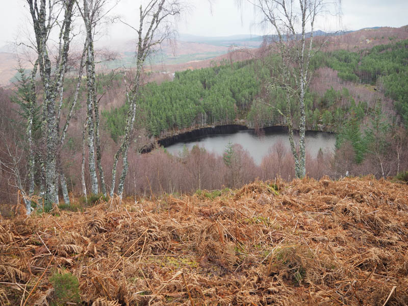
- Time taken 1 hour 35 minutes.
- Distance – 3.75 kilometres.
- Height climbed – 185 metres.