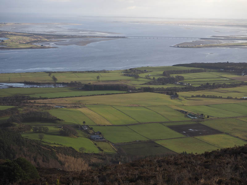
Struie Hill – With permission I parked at Rheguile Farm, accessed off the A836 Tain to Bonar Bridge Road north-west of Edderton. I walked west along the tarred road, signposted Struie Hill, to an old cottage at Leachonich. Beyond, a vehicle track continued to a larger house of the same name as shown on an OS map.
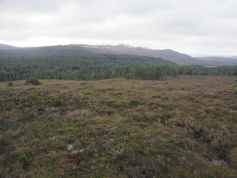
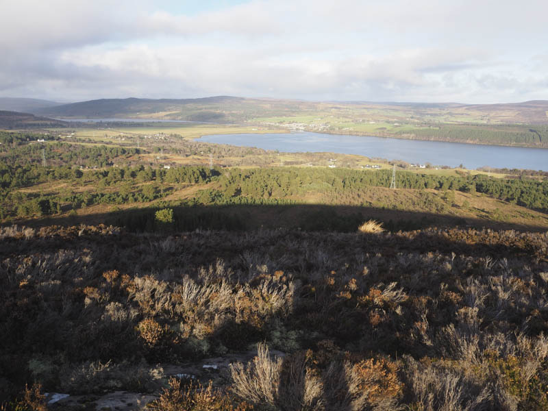
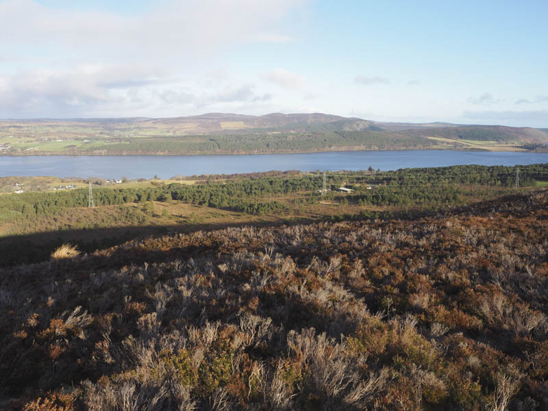
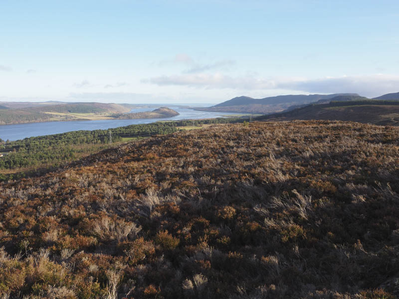
An open gate was passed through as the track headed north-west later turning north. The track was fairly rough in places deteriorating with height and led onto the west ridge. There were now a few paths going towards the summit of Struie Hill, some were wet and peaty making the underfoot conditions slippery, but most of the time there were drier alternatives.
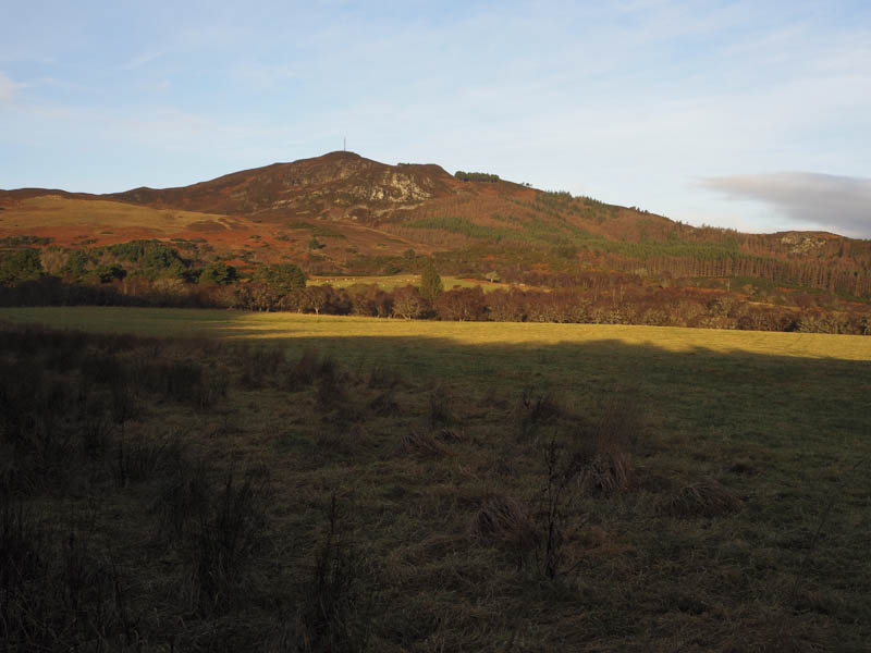
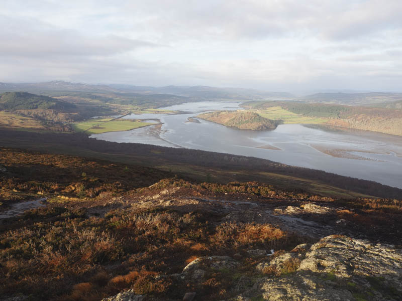
On reaching the summit of Struie Hill there were several constructions and masts with the highest point of the Tump being an outcrop a few metres south of the main mast.
The return was by the upward route.
Cnoc na Moine and Church Hill – I left my car on some rough ground (NH600890) east of the turning point at the end of the public road, accessed from the A836 Bonar Bridge to Tain Road at the hamlet of Kincardine. I walked back to the road end then west along a vehicle track where there were a couple of caravans and a hut, possibly used by forestry workers. Beyond the caravans and at a junction of tracks I took the right fork and continued west towards Badvoon Farm.
I later left this track and followed a path towards the Kincardine Burn and to an area of reeds and waterlogged ground. I skirted this area to the east through rough ground before crossing the burn then through a couple of gates to the wooden bridge over the Allt Cais a’ Bhaid Choille. The bridge didn’t appear very stable but once over it a short section of track was used before climbing through heather and well spaced trees to a small mound within the wood, the summit of the Tump, Cnoc na Moine.
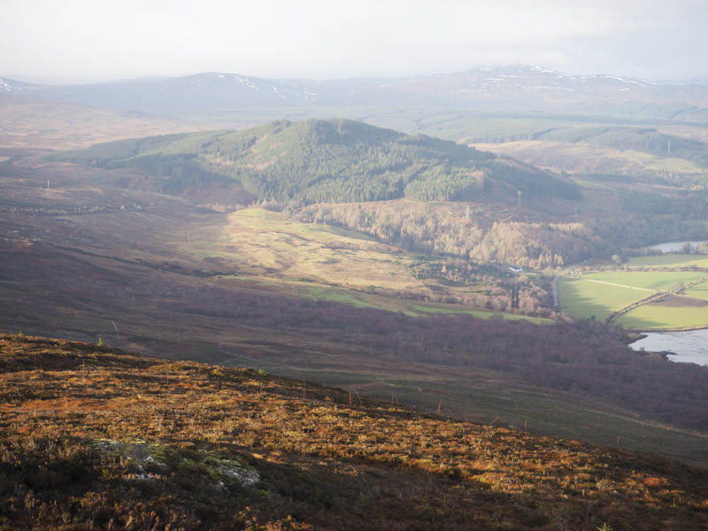
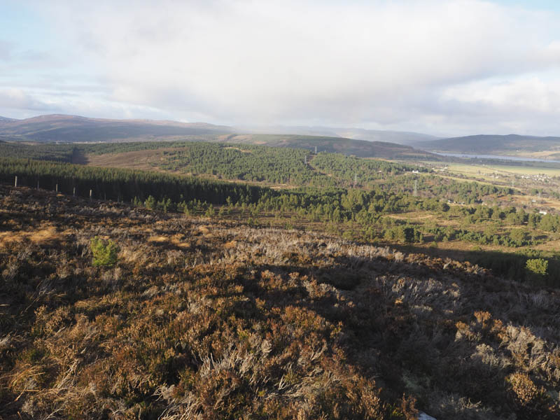
On returning to the Kincardine Burn I headed a bit further west and closer to the farm to avoid the wet ground. Once over the farm track I climbed south-east through rough ground and across a couple of gullies, one containing the Sruthan Mor. This led to the cattle grid at the entrance to Fountain Forestry where a track climbed south through the trees.
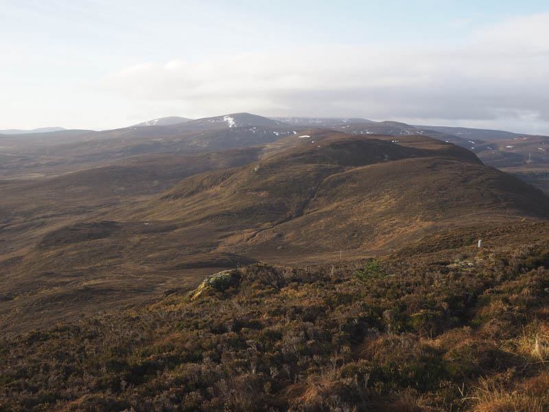
At NH595881 I left the track and followed a short firebreak east, there was evidence of a path, and this led to a deer fence where the wire was fairly slack with a couple of broken bits making the crossing awkward. I then climbed through the heather, there were traces of a path, and went over a stock fence to reach the highpoint of the deleted Tump, Church Hill, which was close to a second stock fence.
I returned to the forest track and as I headed back to the cattle grid I was passed by a couple of timber lorries. I then continued along the track to the caravans and to my car.
- Total time taken – 4.5 hours.
- Total distance – 12.25 kilometres.
- Total height climbed – 510 metres.