It was back to Strathnairn, south of Inverness, parking in a small lay-on the south side of the B851 Farr to Errogie Road, west of Tomintoul House. I walked back to this property then up the vehicle track to Achvraid Farm passing a few houses, outbuildings and a couple of static caravans. The track continued to beyond a stock gate where it split. I went right but the track soon came to an end.
There was then some easy walking over short grass and moss before reaching rough vegetation, mostly heather. I reached a high gate, positioned between a stock fence and a deer fence, with nothing preventing the deer leaping the stock fence.
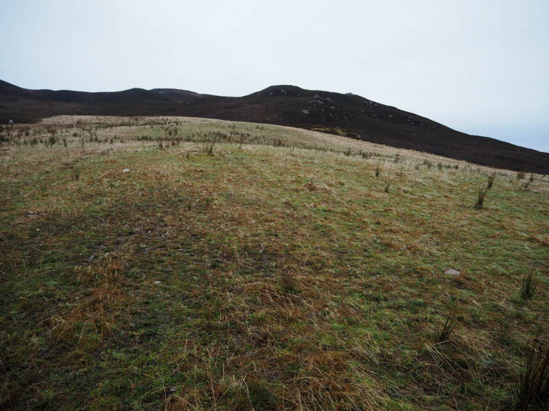
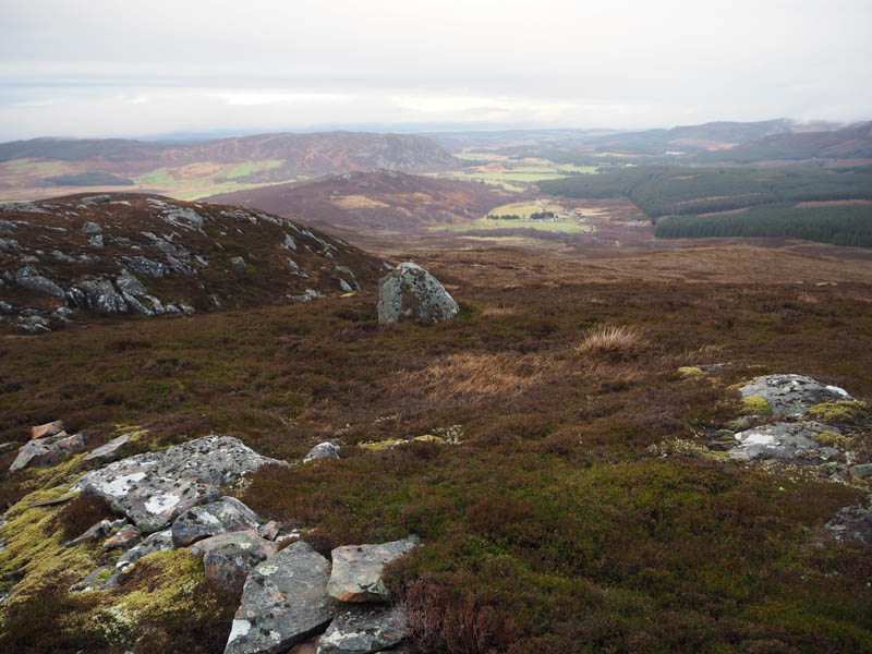
There was some wet ground and more heather before working my way round a few knolls and boulders onto the summit of Creag Cuim na Laraiche. The highest point of this Sub Tump was a vegetated outcrop east of the cairn.
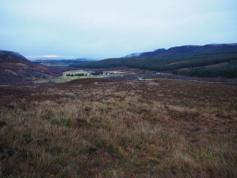
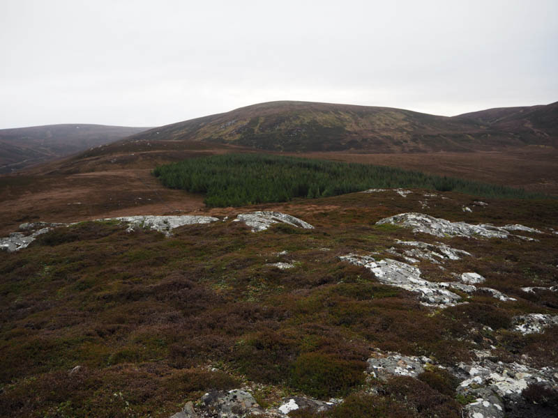
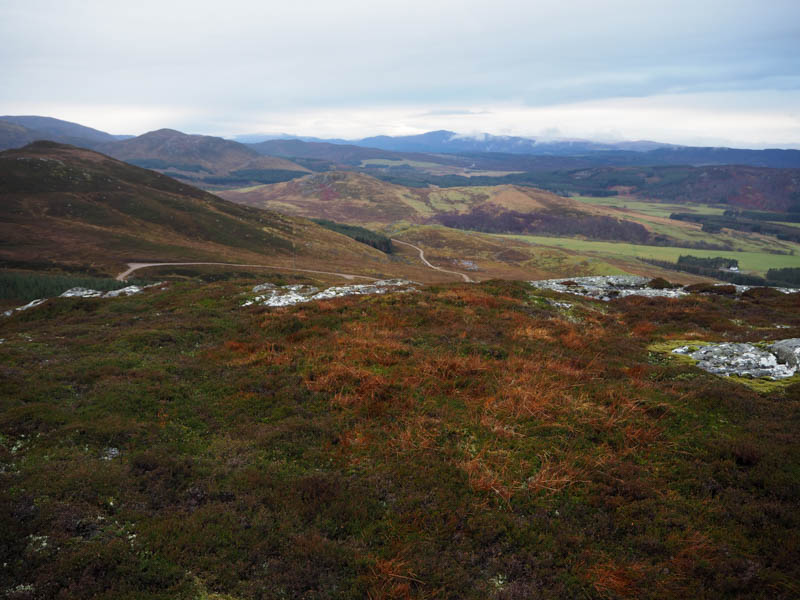
After a break here sheltering from a breeze, I descended south-east through some wet ground to the east side of a conifer plantation surrounded by a stock fence which had collapsed in places. I walked along the edge of this fence before climbing through heather onto the summit of the Tump, Cnoc Chaorachain, marked by an outcrop.
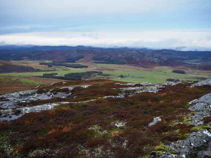
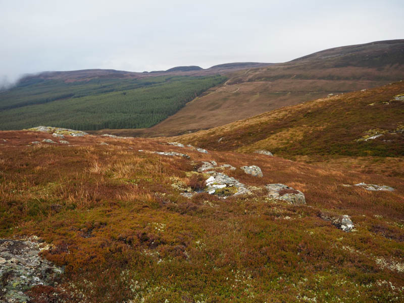
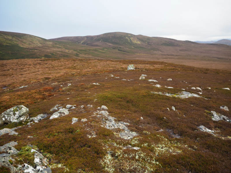
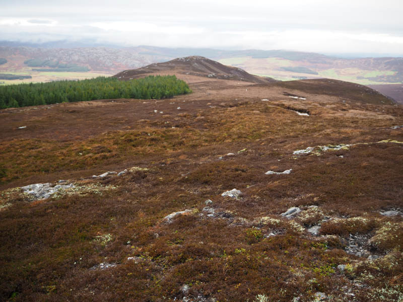
I had one unclimbed hill in this area so planned to include it by descending east to the forest edge and following it round to the summit. However, I spotted a vehicle track not on my map, on the west and north sides of Carn na Saobhaidh, so decided to aim for it, longer but with less height loss.
It was initially a steep descent south-east then trying to stay high crossed rough vegetation and a couple of streams to reach the Allt na Beinne gorge where there were a few landslips. A steep wet mossy climb of an embankment took me onto the vehicle track at NH66462449, then an easy fairly level walk north-east led to the edge of the forest where the track split. One entered the forest, the other which I followed headed east on a steady gradient.
At NH67172494 the track turned south so I left it and headed north-east, later east, staying high. Underfoot it was very mixed, sometimes easy-going, other times longer vegetation making it hard work with a few gullies and streams to cross. The deer fence which enclosed the forest extended east so crossed it for the final approach to Beinn Bhuraich. The summit of this Sub Dodd was just some heather and moss.
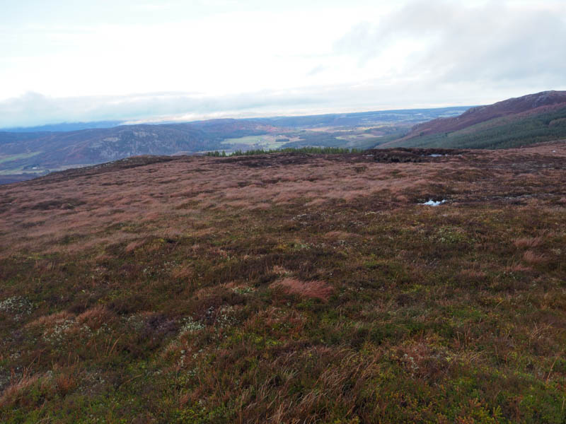
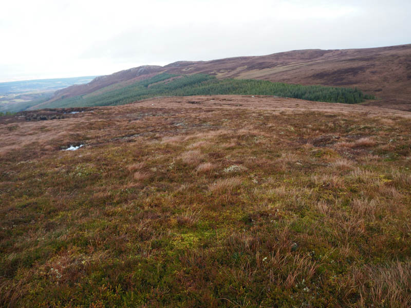
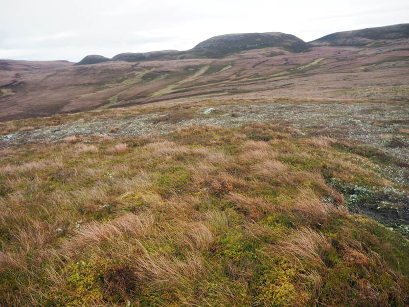
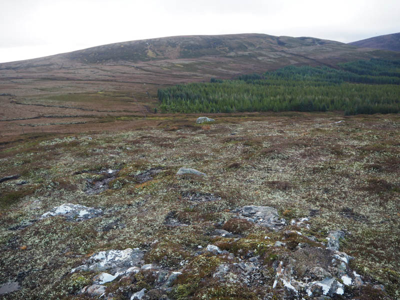
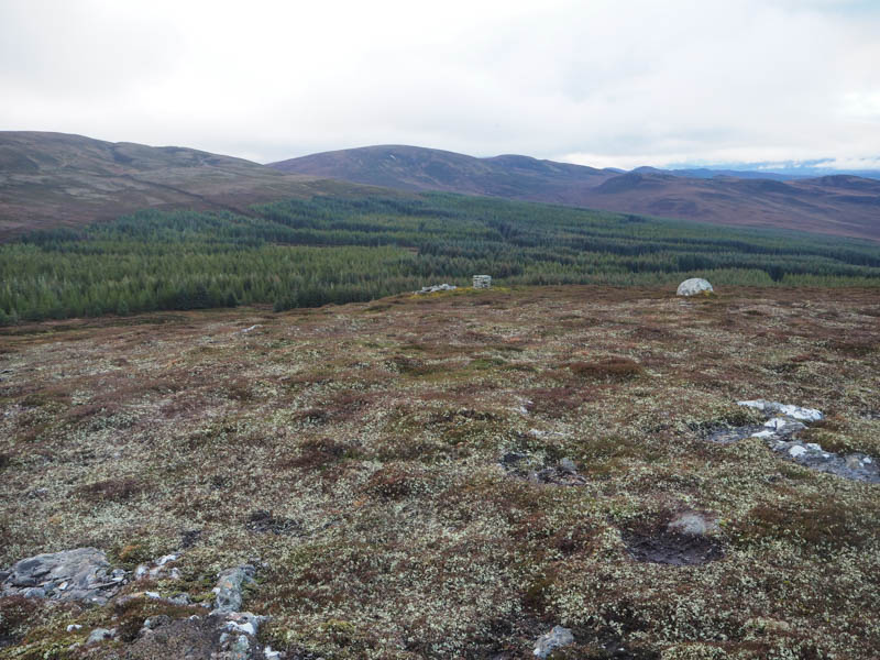
It was windy here, so I didn’t linger long and descended south-west, rough underfoot, to a wide firebreak where shooting practice obviously took place. On reaching the forest track I had three choices, head uphill on the track which would later return me to Achvraid Farm, continuing down the firebreak to join this track or an easy descent north on the vehicle track. I took the third option, the wrong choice. The track later turned east but here there was another firebreak immediately before a harvested area.
Underfoot was a bit rough, crossed the Flichity Burn a couple of times, before lower down a deer fence. Once on the other side I passed through well-spaced trees to game bird enclosures where I joined a vehicle track taking me to the west of Flichity House. Here I walked west along the edge of the forest on an old track, later crossing a field to join another track on the east side of the River Brin. This led to the B851 and a short road walk back to Tomintoul House and my car. A longer return route than planned.
- Time taken – 5 hours 15 minutes.
- Distance – 15,25 kilometres.
- Height climbed – 505 metres.