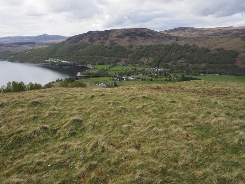
Meall Chomraidh – I parked at the start of the vehicle track at Bridge of Gaur, west of the Allt an Fheadain, reached along the length of Loch Rannoch from Kinloch Rannoch, crossed a stile at the side of a stock gate and walked south then south-west along the track to the bridge over the Allt Chomraidh. Once across this bridge and the Old Drove Road to Achallader I commenced the ascent of Meall Chomraidh.
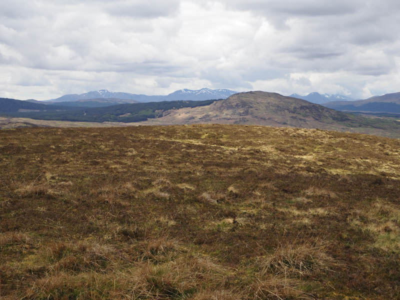
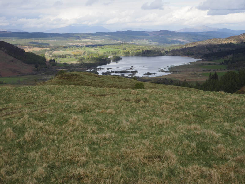
Initially there were deer tracks through the vegetation then it was a steady climb with areas of mud created by the deer. The trig point on Meall Chomraidh was reached with the nearby cairn the highest point of this Marilyn.
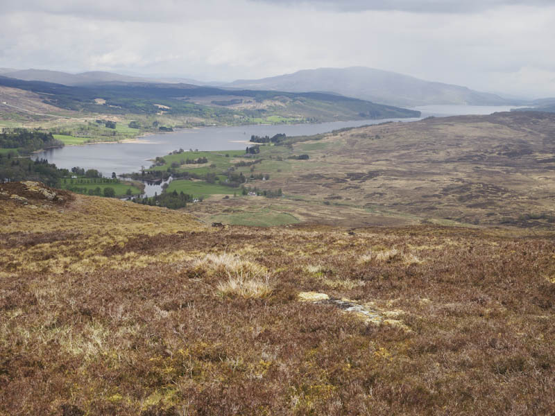
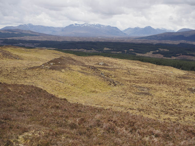
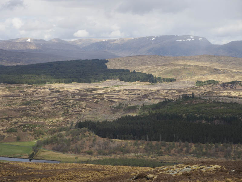
On the descent north-east there were lots of deer tracks and boggy areas, before I joined the Old Drove Road at a gate in the deer fence a short distance south of Invercomrie Farm. The drove road was followed passed the farm and onto the South Loch Rannoch Road a short distance east of where I had left my car.
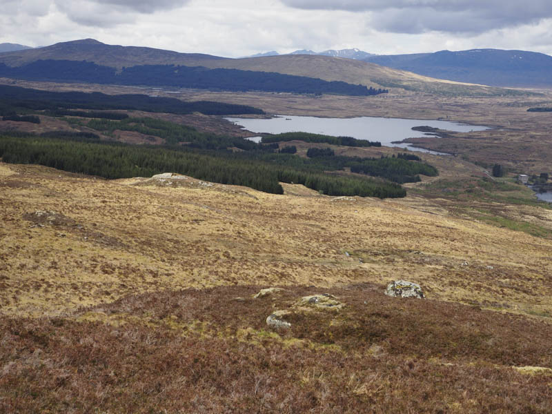
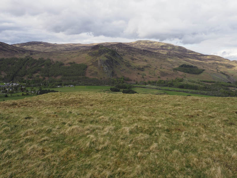
Sron nan Calamag (Coille Mhor) – I moved my car east from Bridge of Gaur along the road on the south side of Loch Rannoch with the intention of parking at the start of the track going south opposite Finnart Farm. However there was a no parking sign here so I continued for a further 300 metres or so to find a suitable parking spot.
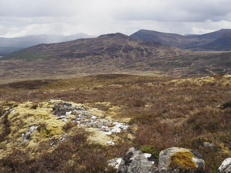
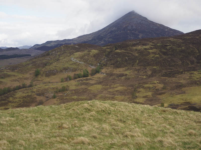
I walked back to the start of the farm track, passed through an open gate, and followed this route for a few hundred metres before leaving it and walking east along the ATV track on the west ridge of Sron nan Calamag. This track later disappeared to be replaced by the occasional deer track through the heather and to the summit of the Tump, Sron nan Calamag, marked by a rock.
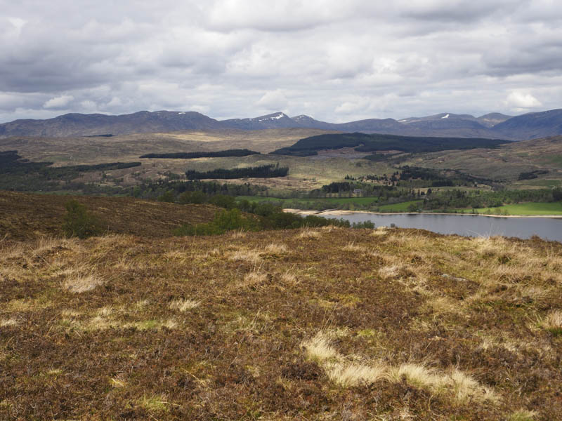
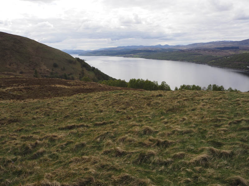
The descent north-west was fairly easy going, lower down the vegetation was a bit longer, to emerge onto the road just east of where I had left my car.
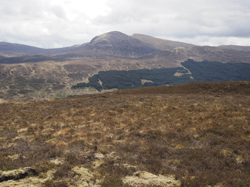
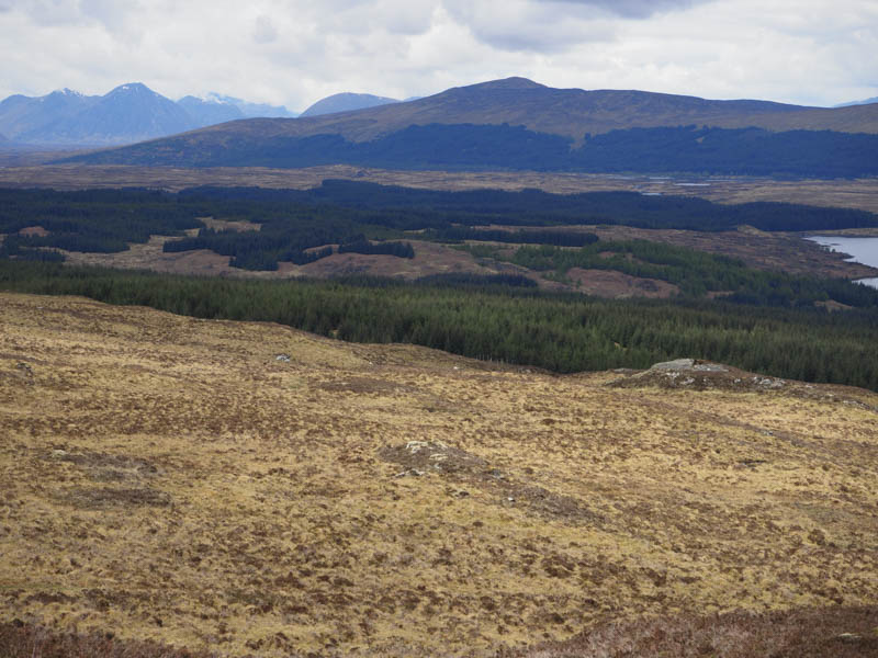
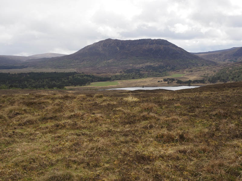
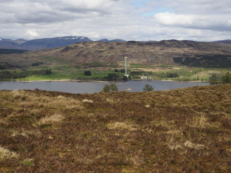
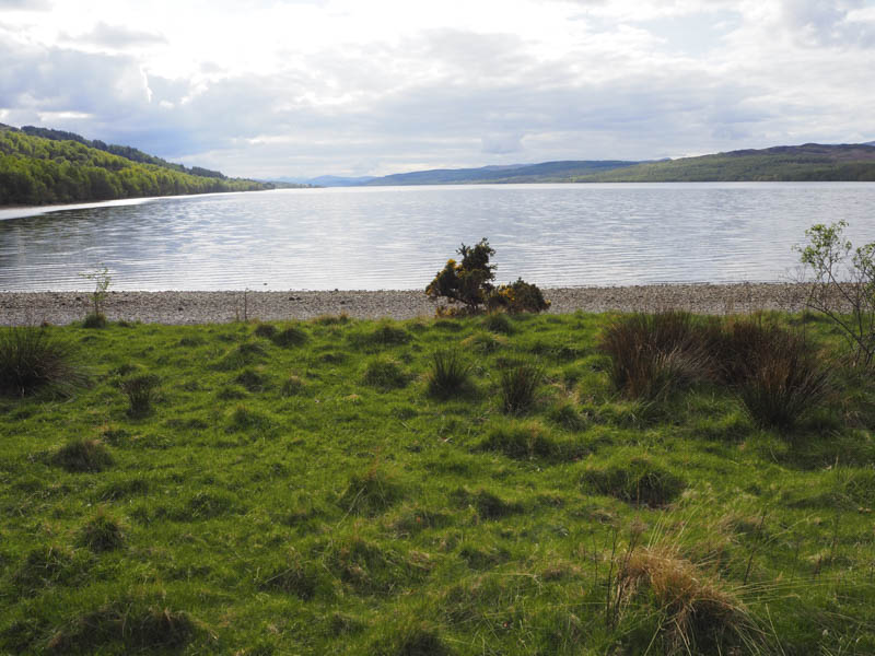
Cnoc Eaghainn – Again I moved my car east along Loch Rannoch’s South Road, this time to the east of Blackwood Cottage where there was space to park at the north side of the road. I crossed the road, entered Black Wood of Rannoch and followed the path round the houses then south through the Caledonian Pinewood.
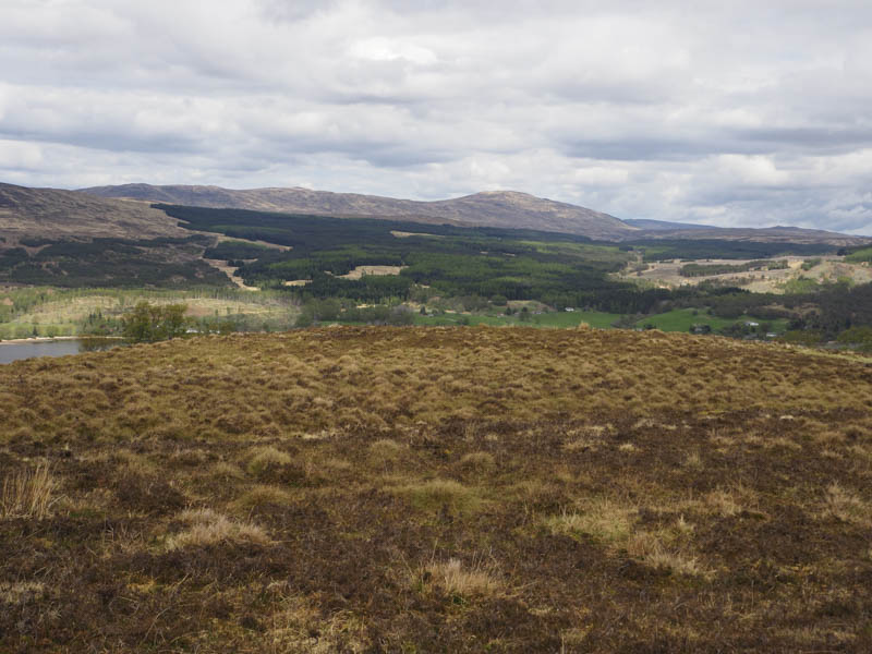
At NN563556 I left this path at what appeared to be a path junction but this wasn’t the case as I was quickly amongst a clearing consisting of long grass and boggy ground. Once through this area I re-entered the trees, which were well enough spaced, although underfoot it was rough going with some brash to contend with. The knoll marking the summit of the Tump, Cnoc Eaghainn, was reached then I about turned and headed back to the start.
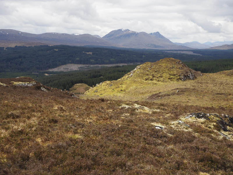
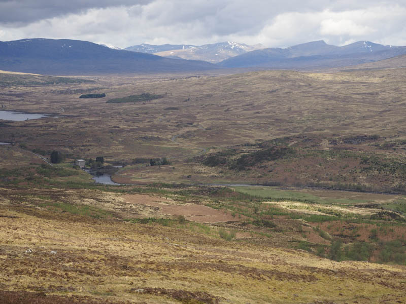
Creag an Fhithich – The final hill of the day was above the east end of Loch Rannoch. I left my car beside the memorial south of Kinloch Rannoch and walked south along the road to a t junction then east passed a couple of houses. I thereafter crossed a locked gate, a field containing horses, through a second gate and onto the open hillside. It was a steep climb south through a few trees, heather, and dead bracken using deer tracks which were muddy in places.
Prior to reaching the col between Creag an Fhithich and Meall Dearg the gradient eased so I walked east mainly through dead grass to gain the grassy knoll, the summit of the Tump, Creag an Fhithich.
The return was via the upward route.
- Total time taken – 5.5 hours.
- Total distance – 16.25 hours.
- Total height climbed – 835 metres.