Three days after the visit to hills on the north side of Loch Meig in Strathconon, accessed from the A832 at Marybank, returned to the south side of the loch parking at the entrance to West Curin Wood, with space for a few vehicles.
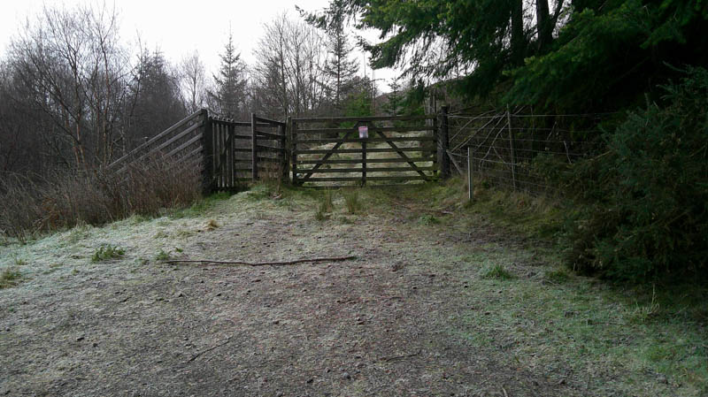
Beyond the pedestrian gate it was onto a forest track initially going south-east but soon turning south-west, as it wound its way through the trees. Overgrown and wet in places but went further than the map showed, coming to an end near a gate in the deer fence and stile. (NH37455559)
After crossing the deer fence via the stile traces of an old ATV track headed south through long vegetation and some young trees. On losing the line of the track headed for another gate in a deer fence at NH37485539. This gate was padlocked with a strand of wire stapled to a plank of wood above it, which made for an awkward crossing, fence was easier.
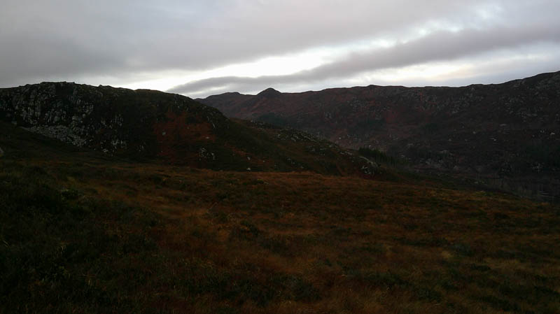
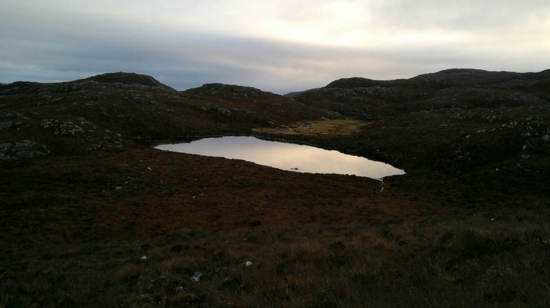
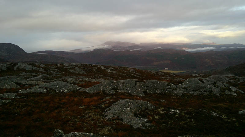
Thereafter headed south through rough vegetation, not as bad as expected but a bit of effort required with a few undulations, then south-west onto higher ground as the cloud lowered with drizzle.
Turned south here gradually gaining a bit more height then another dip before climbing onto Carn an Airich Mor. The highest point of this Sub Tump was an outcrop; there were a few to choose from.
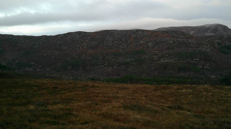
After a fuel break with no views, it was a fairly steep descent south, avoiding the crags, followed by a steady climb of the Tump, Carn na Cloiche Moire, the highest point marked by a cairn.
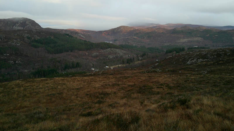
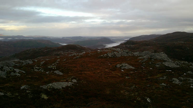
With the low cloud and drizzle there was no point in hanging around so returned roughly by the approach route trying to stay higher to avoid the undulations.
- Time taken – 4 hours 45 mintes.
- Distance – 8.5 kilometres.
- Ascent – 550 metres.