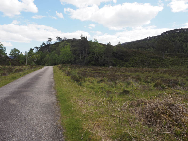
Meall a’ Mhadaidh and Tom Ruigh na Beiste – It was another return visit to Glen Strathfarrar this time to climb the Graham Top south of Loch Beannacharan and to include a nearby Tump. I arrived at the locked gate at Inchmore, accessed from Struy Bridge on the A831 Beauly to Cannich Road, just before its opening time at 9am. Once through the gate I drove along the single track tarred private road to a couple of hundred metres west of the path to the Pollcherran Bridge where I managed to get my vehicle off the road.
I walked back to the path then to the footbridge across the River Farrar.
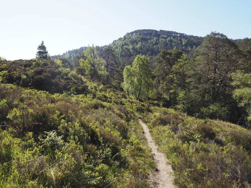
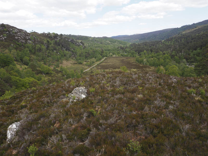
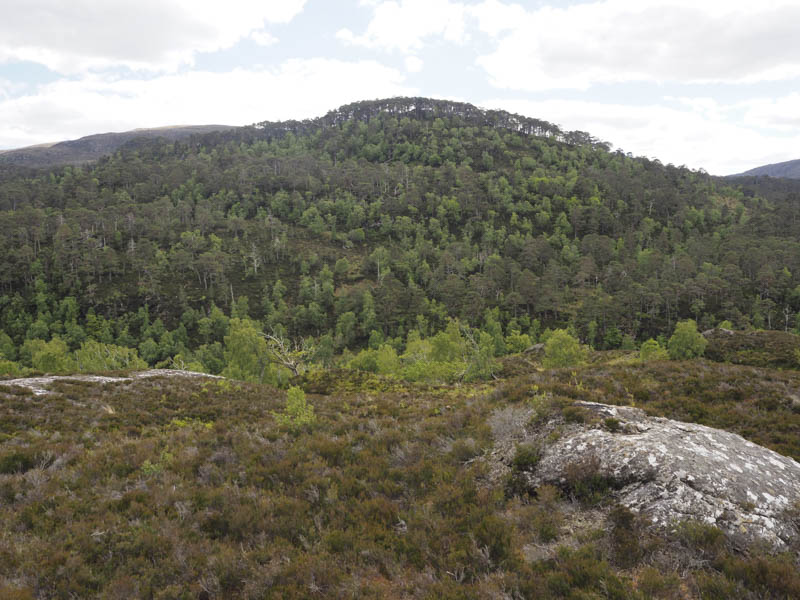
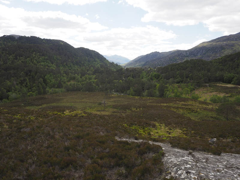
Beyond an obvious path with a few muddy sections headed south through the woodland but its condition later deteriorated and became less obvious. At NH328384 the path junction shown on my map didn’t appear to exist so I continued up the west side of the Allt Coire nam Brathan mainly through rough vegetation although occasionally it appeared I was on a path.
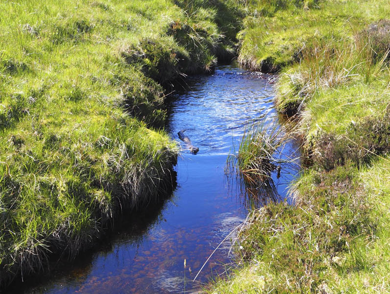
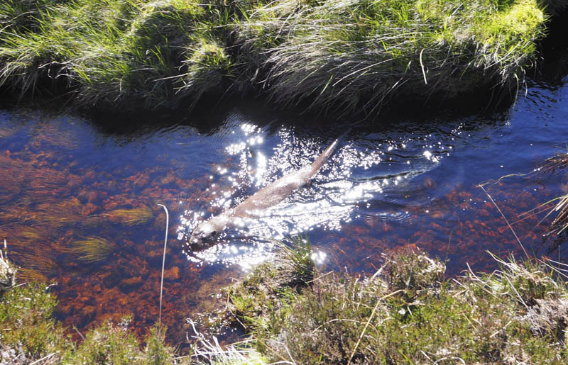
As I walked up the side of this stream I spotted an otter entering the water, swimming around the pools looking for its next meal, before heading off downstream.
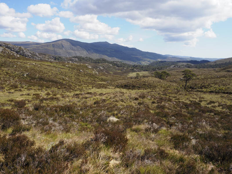
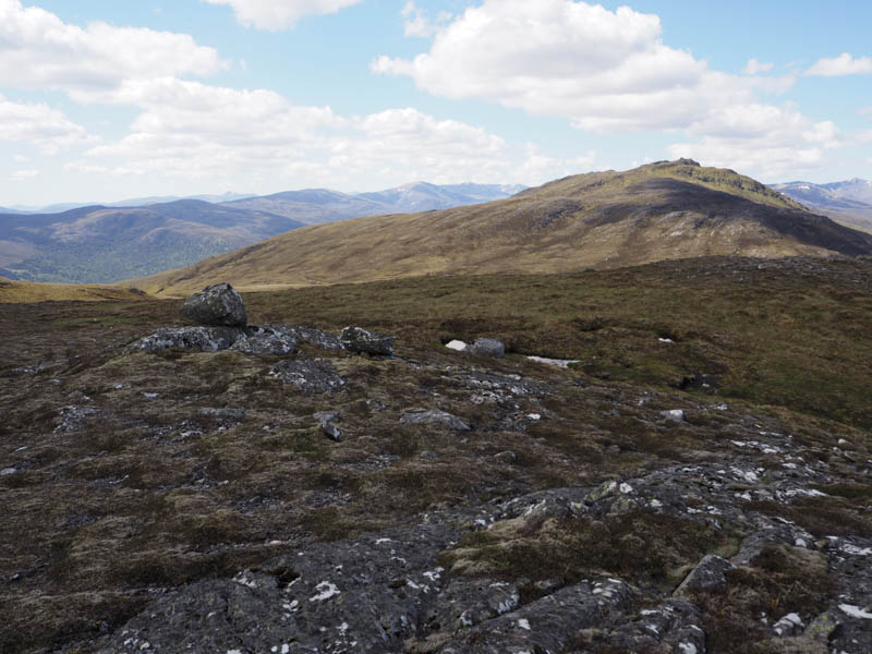
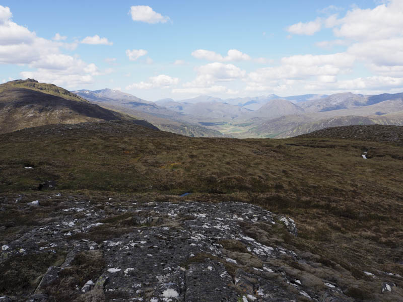
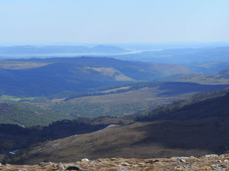
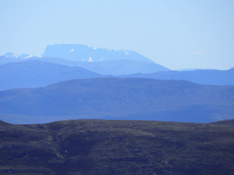
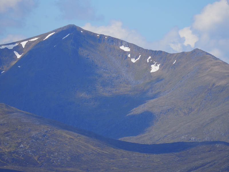
On reaching the point where the mapped paths split I headed west up a gully but there was no evidence of a path. The cairn marking the summit of the Graham Top, Meall a’ Mhadaidh, was reached and here I had some good views of the nearby hills and in the distance Ben Nevis.
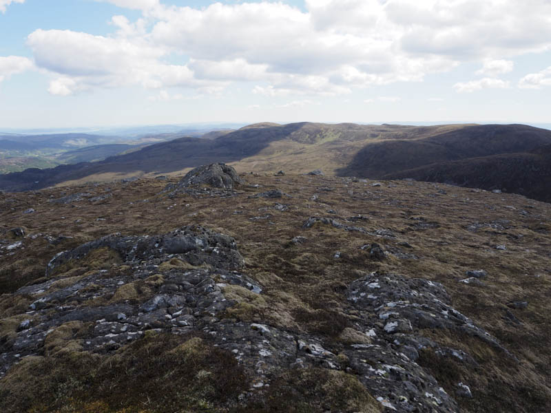
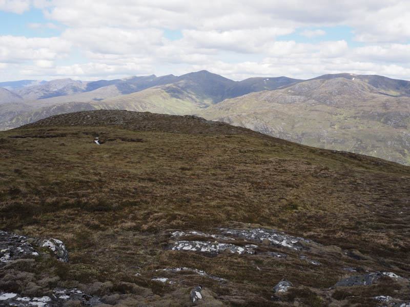
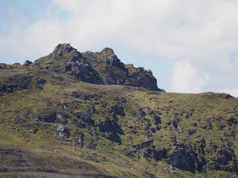
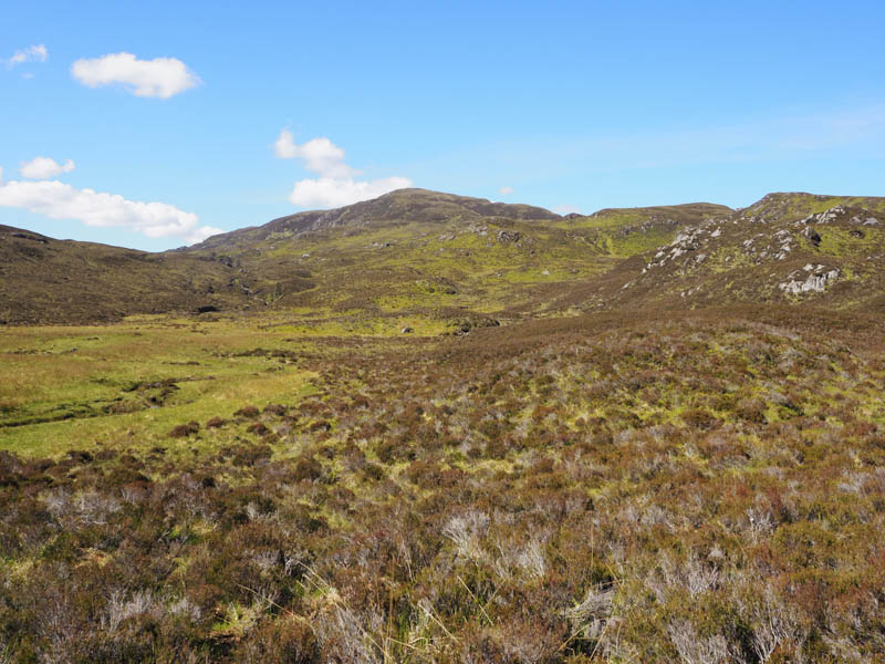
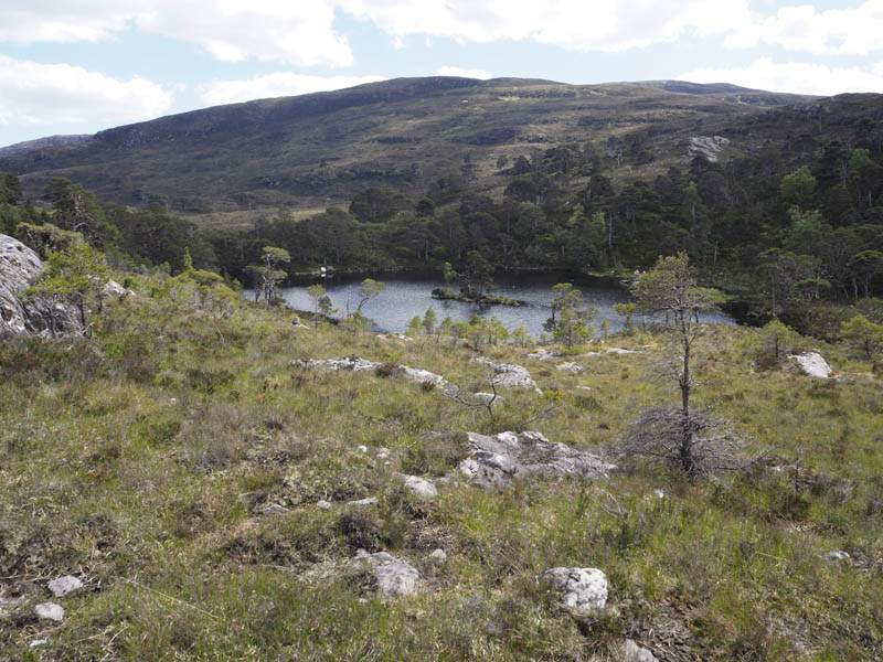
After sitting here for a while I returned more directly north-east to the Allt Coire nam Brathan and after the grassy area where I spotted the otter I crossed the stream and some very rough ground with deep heather and undulations to reach the south side of a deer fence and a rather wet and boggy ATV track. This track was followed east to Loch an Airigh Fhraoich where I disturbed nesting birds alarmed at my presence. I didn’t linger but was unable to make the planned direct ascent of the Tump, Tom Ruigh na Beiste as the outflow from the loch was a bit boggy and slow moving. I therefore walked west back to the deer fence and from there was able to cross the boggy stream and ascend Tom Ruigh na Beiste, the highpoint marked by an outcrop.
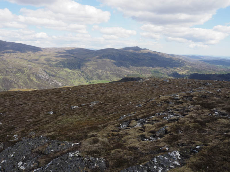
I headed back to the deer fence where I discovered an old wet and boggy ATV track which ran along the north side of the fence before turning south-west, the wrong direction for getting back to my car. I therefore crossed more very rough ground and a couple of streams to reach the path on the west side of the Allt Coire nam Brathan. The path was then followed back to my vehicle.
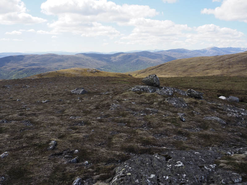
Cnoc Pollcherian – I moved my car a short distance east and parked at the side of the road to the north-west of Cnoc Pollcherian. Within ten minutes I had crossed some wet and flat ground, climbed through longish heather to reach the summit of this Tump, an outcrop, and returned to my vehicle.
- Total time taken – 5.75 hours.
- Total distance – 12 kilometres.
- Total height climbed – 800 metres.