The start of this outing was the hamlet of Camas-luinne, accessed from north-west of Dornie on the A87 Shiel Bridge to Kyle of Lochalsh Road, then along the single-track road on the northside of Loch Long. There was parking for a few cars at the end of the public road.
Walked west up a tarred road to a signpost ‘Path to Dornie’. This path ran along the outer edge of a fence round a newish house then between a couple of stock fences where it was overgrown. This led to a small gate then further on to another gate this time in a deer fence. The path then seemed to disappear. (At the end of this walk spoke with a local, he thought this path no longer existed)
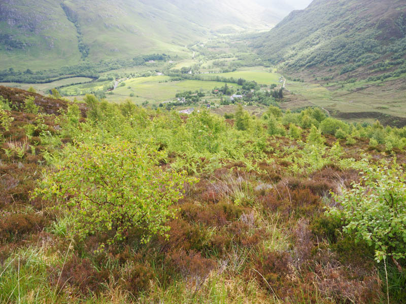
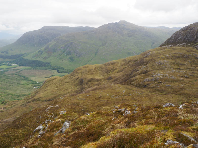
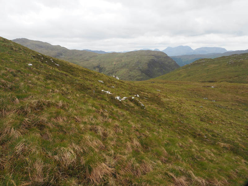
The way ahead was through long wet vegetation with lots of young birch trees making for tough progress. There were also numerous holes created for the planting of these trees many concealed by the vegetation. On clearing this area was a bit too high so descended south to locate the junction of the paths to Dornie and Inverinate. Continued south along the latter, went through a gate in a deer fence, and gradually gained height as the path turned to the south-west.
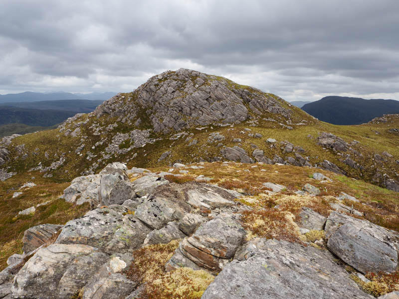
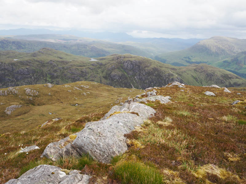
After crossing the Allt Mor left the path and walked south, later south-east, over pathless vegetation, across a few small gullies and streams and onto Carn Sgriobhaich North-West Top. The highest point of this Sub Dodd was an outcrop.
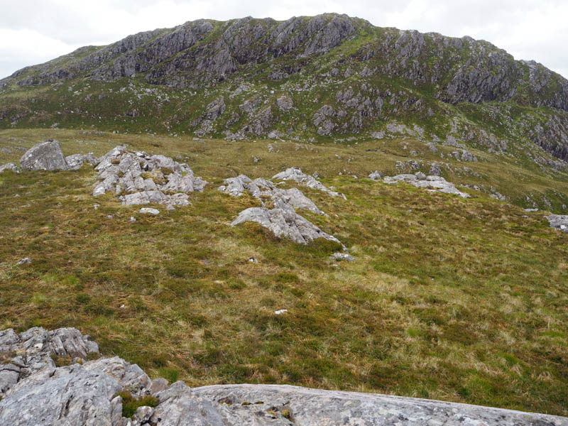
Descended south-east through some rough and boggy ground then up a grassy rake before heading for the summit of the Tump, Carn Sgriobhaich, marked by a mixture of grass and moss.
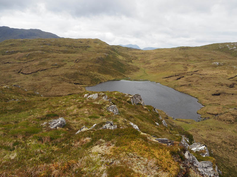
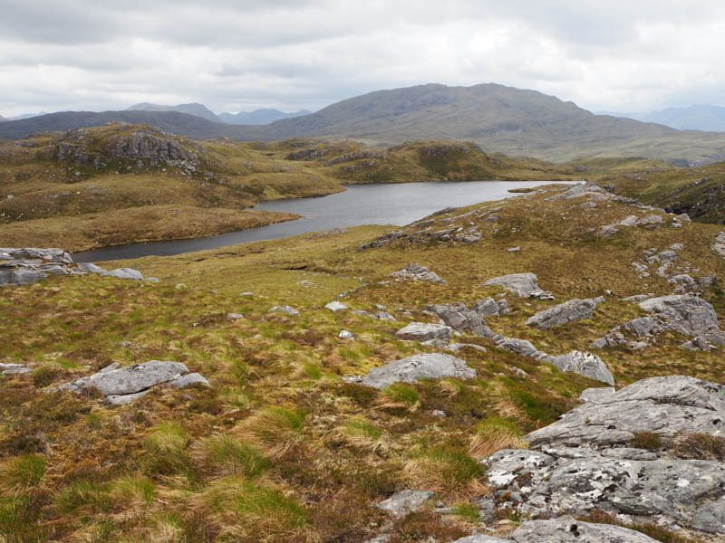
The descent SSE led to the east end of an unnamed lochan and to a fairly new deer fence which had to be climbed, there being no obvious crossing points.
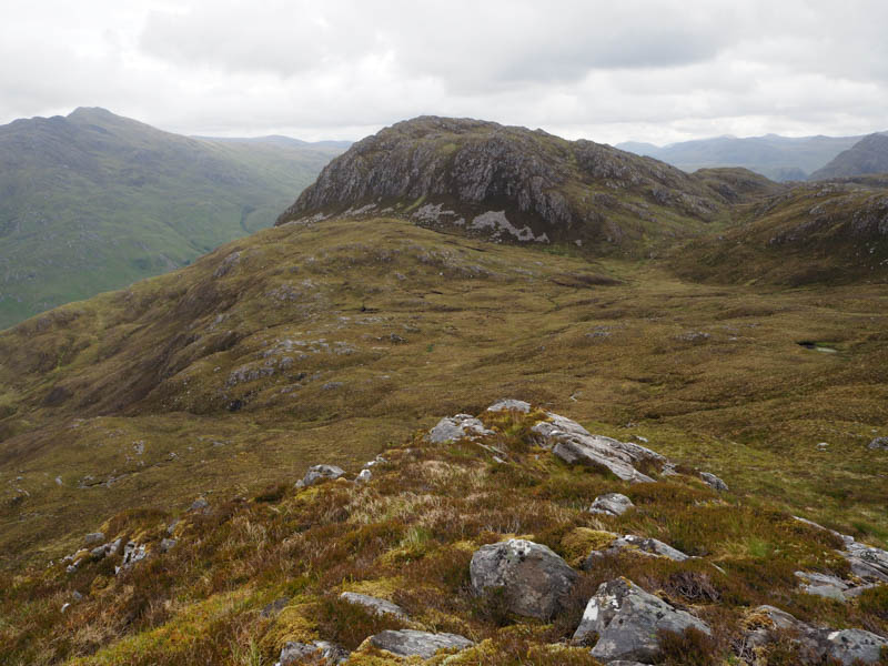
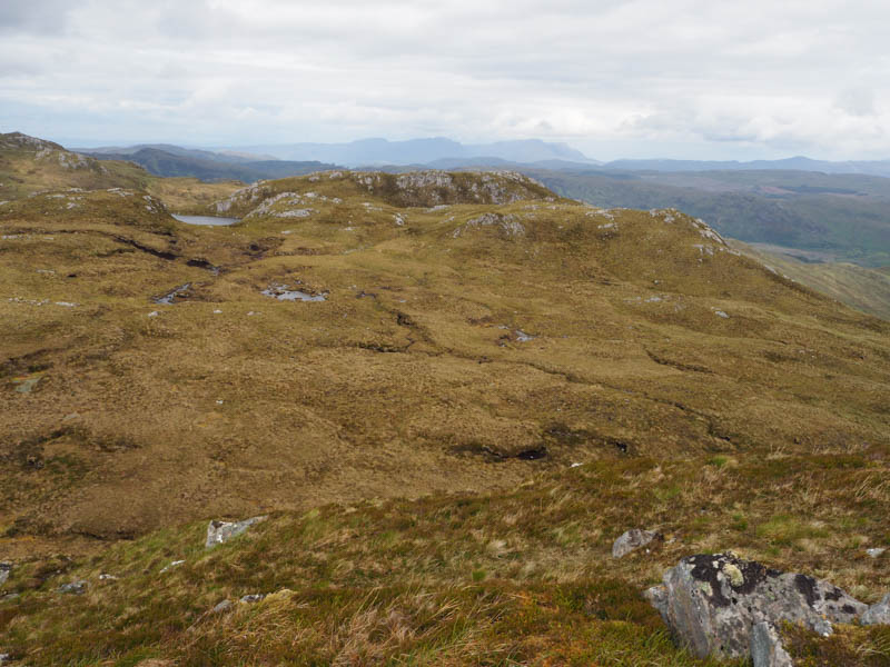
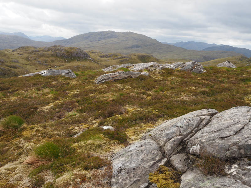
There was some muddy ground here, probably caused by the construction of the fence. It was then an easy ascent of the Tump, Carn a’ Coire Dhoimhneid East Top, marked by a moss-covered outcrop.
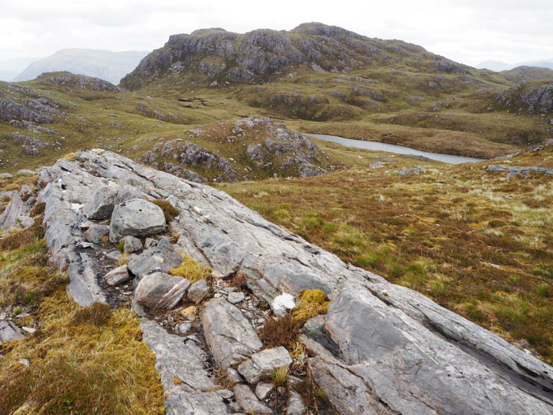
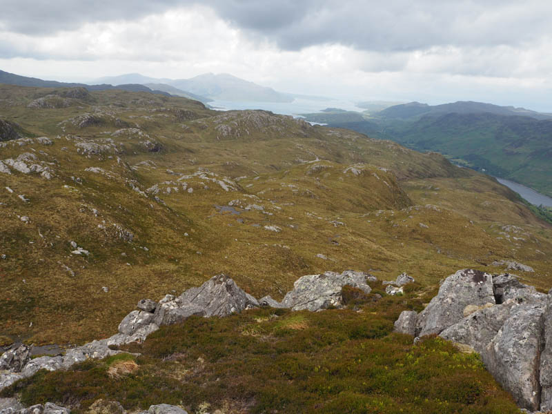
Left this hill in a westerly direction, descended to the south of a small lochan, crossed an ATV track then climbed north-west to the east of an another lochan and onto the summit of Carn a’ Coire Dhoimhneid. The highest point of this Tump was an outcrop.
A gradual descent south-west, later turning west, led to the crossing of the path to Inverinate.
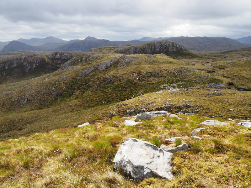
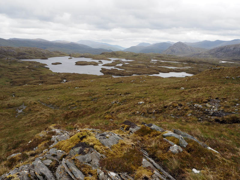
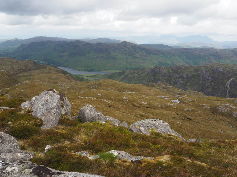
Continued in a westerly direction with a steady climb towards Loch Bhuic Mhor and to a deer fence. Followed it south-west looking for a gate but there was none so climbed over it then headed NNW onto the Sub Dodd, Boc Mor North-East Top, marked by an outcrop.
A short steep drop north-east then an easy climb took me onto the Sub Dodd, Carn Loch Bhuic Mhoir South Top, marked by an outcrop.
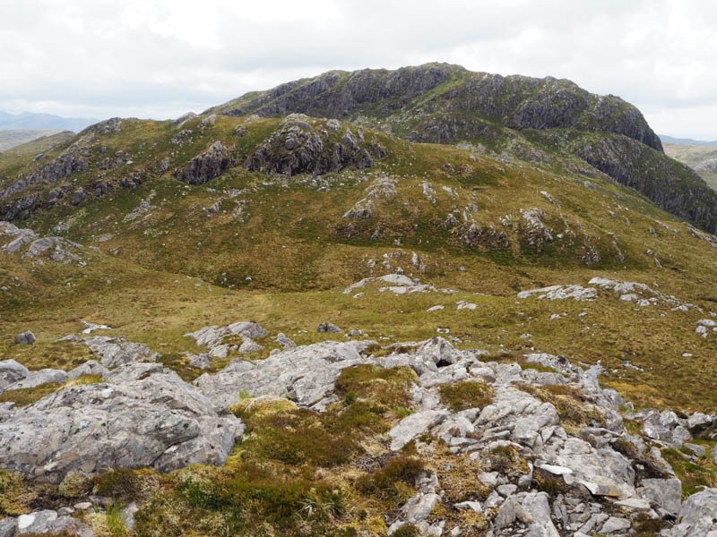
The final hill of the day was nearby so a short descent NNE led to the craggy south face of Carn Loch Bhuic Mhoir. A walk round to its east side then through a mixture of rock and vegetation took me onto the summit of this Tump, marked by an outcrop.
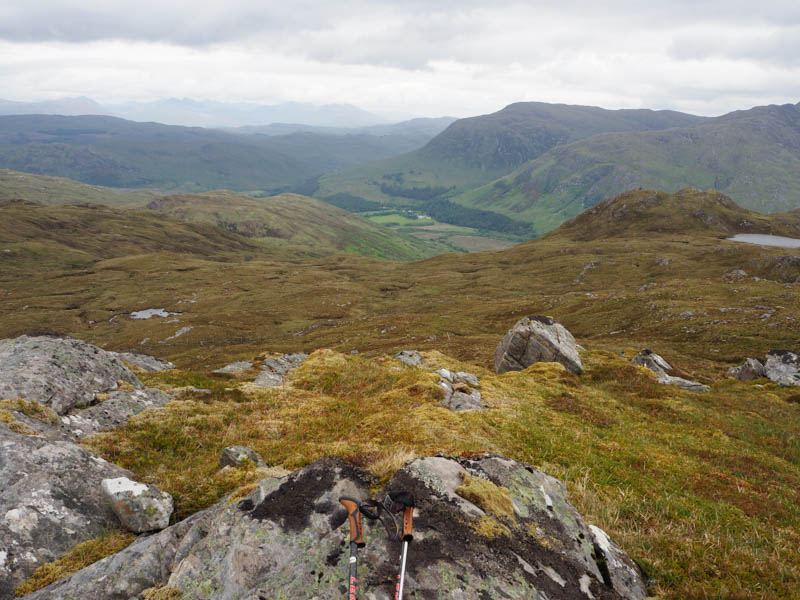
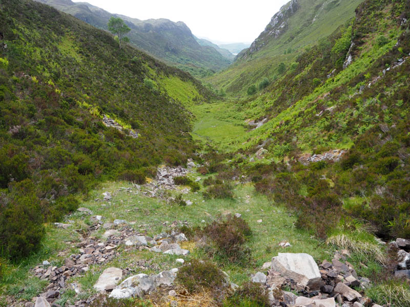
It was a long descent north-east, easy enough at first across shortish vegetation avoiding a few boulders, but lower down more awkward through long heather, and rough vegetation, crossing a few small gullies. Eventually reached the path to Dornie (at NG92962783) but it wasn’t particularly obvious due to the growth of birch trees. Followed the path west through these trees, later crossing the River Glennan, before heading for the narrow gully and the Bealach a’ Ghleannain.
Located the path to Inverinate used earlier that morning but still never found the one to Camas-luinne so it was a case of just working my way through the long vegetation, including some bracken, avoiding the birch trees where possible, to reach the path between the stock fences then the short walk to the car.
- Time taken – 7 hours.
- Distance – 12.75 kilometres.
- Ascent – 920 metres.