Previously I’ve ascended the Corbett, Stob Coire a’ Chearcaill, from the A861 via a track east of Blaich but according to a Corbett book there was a shorter route from east of Duisky on an intermittent path. I drove east along the single track A861 on the south side of Loch Eil through Duisky and across the cattle grid mentioned in the book. There wasn’t an obvious parking area but I managed to get my vehicle completely off the road beside a passing place.
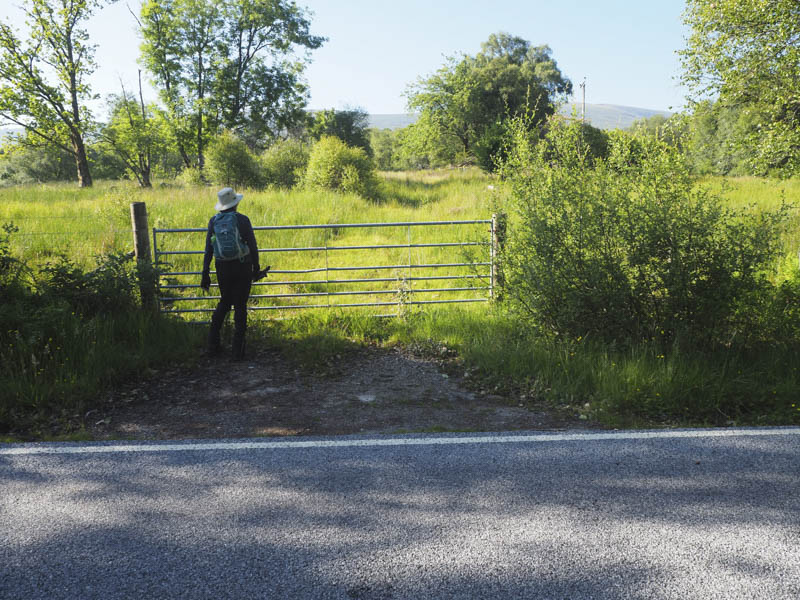
We then walked back to the cattle grid where we passed through a stock gate but there was no sign of a path just sheep trails which led into some trees and bog. Beyond we were into longish heather still with no sign of a path so continued through the heather and bog, using animal trails where possible. This led to the edge of a deer fence then to a gate which we had to climb over to access the open hillside.
With no evidence of a path we made our way through the rough vegetation and heather which was hard work in the heat.
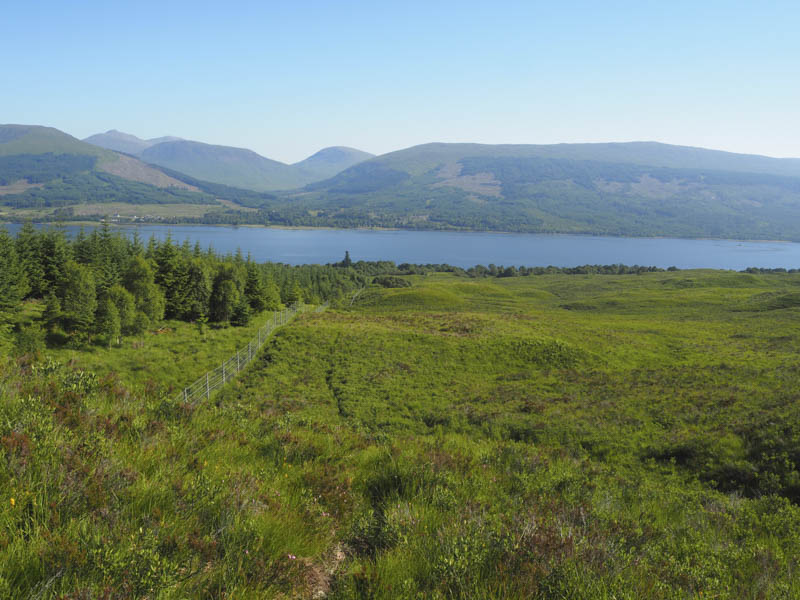
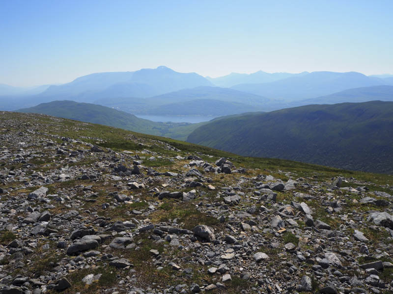
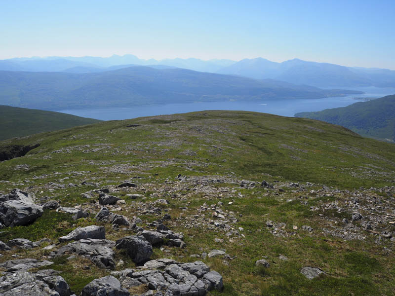
The gradient increased on the climb through Coire Dubh and onto the west ridge of Braigh Bhlaich with good views of our target hill and its eastern corrie.
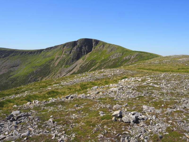
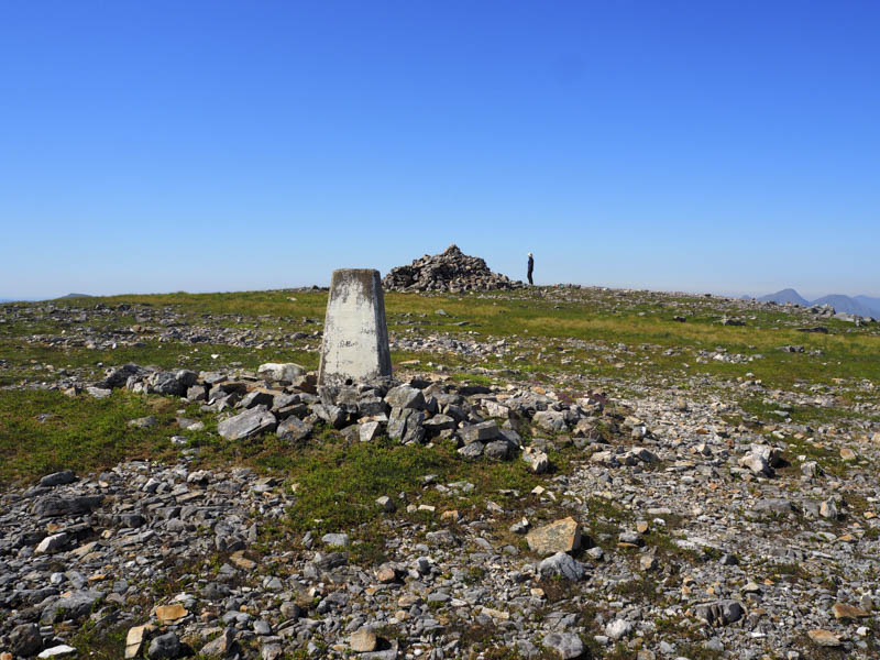
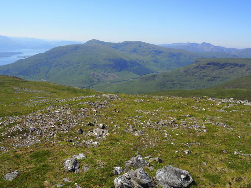
It was now an easy walk along the ridge with a slight climb to the summit of the Corbett marked by a trig point and cairn.
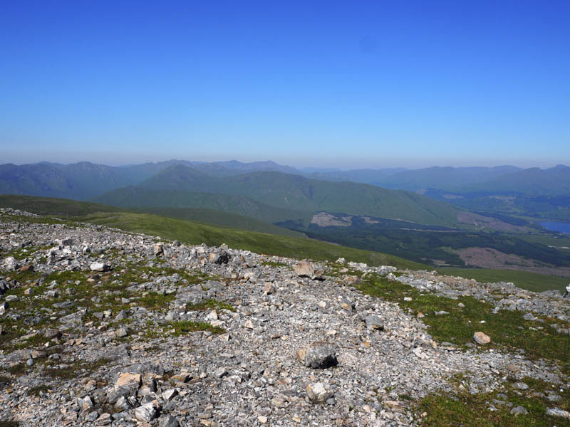
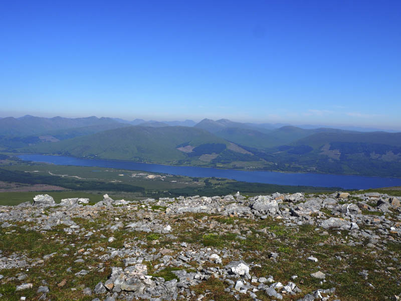
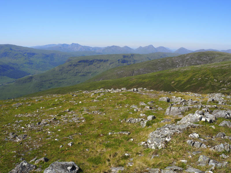
After a short break here I walked out to its South Top before re-joining my walking companion on Stob Coire a’ Chearcaill.
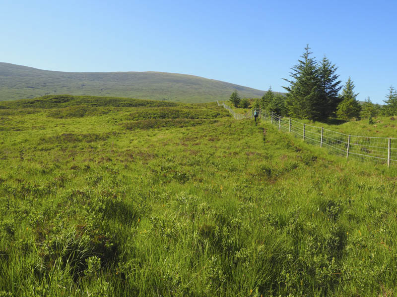
We headed back along the west ridge of Braigh Bhlaich then descended north down the side of some old metal fence posts which were just west of our ascent route. There was still no sign of a path.
On returning to the deer gate we retraced our outward route back to the A861. In hindsight we should have gone via the track at Blaich and onto the east ridge of Braigh Bhlaich.
- Time taken – 4.75 hours.
- Distance – 11 kilometres.
- Height climbed – 865 metres.