I drove south-west through Strath Errick, to the east of Loch Ness, and at the south end of Loch Mhor continued south-east along the minor road to Garthbeg where there appeared to be no objection to parking at the end of the public road. I walked towards the gates giving access to Corriegarth Wind Farm then crossed the bridge over the River E; the water level was very low. This took me towards Garthbeg Farm but before reaching an outbuilding I went right, south-east, along a farm track on the east side of the river. This track later merged with the wind farm road which took a longer route to reach this point.
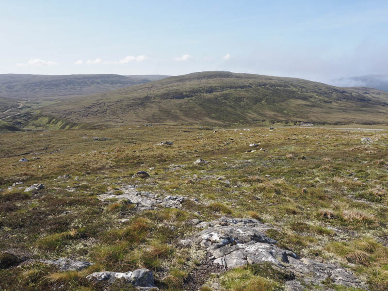
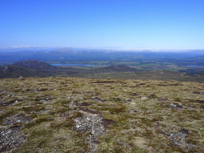
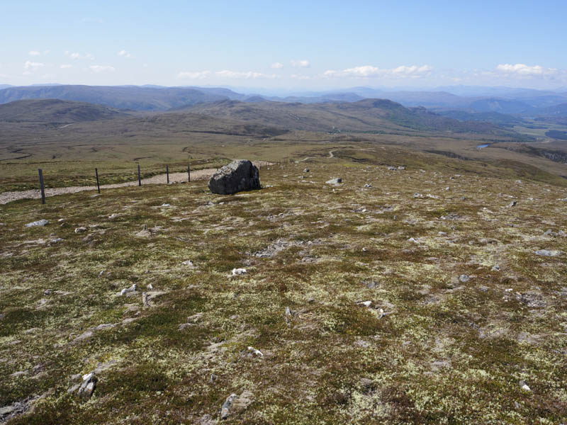
The road gradually gained height as it continued south-east above the River E. Higher up there were other tracks leading off in different directions, including one that ran east below Carn na Saobhaidhe. I stayed on the wind farm road until I reached a large building used in connection with the wind turbines. Here I left the road and headed north-east through pathless vegetation onto Carn na Saobhaidhe. The highest point of this Graham Top was a boulder. The earlier low cloud had lifted so I had some good views including of the wind farm where, despite it being a Sunday, work was ongoing on an extension to the existing site.
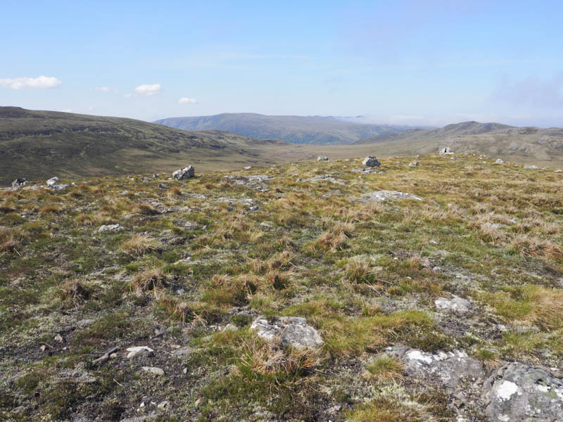
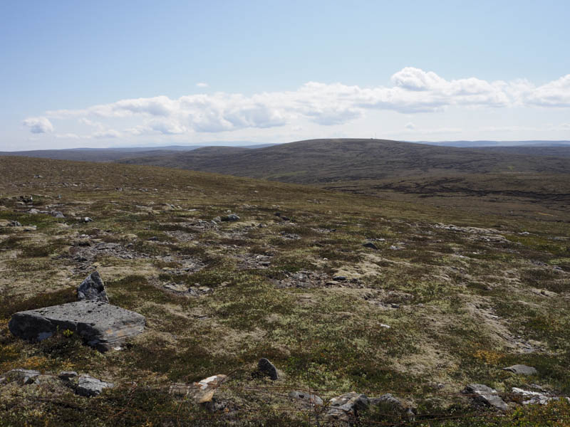
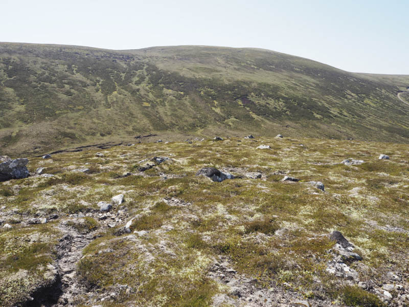
I descended north-east through some rougher vegetation to join the estate track that ran below Carn na Saobhaidhe. This track was followed east onto Carn Ruighe na Gaoithie where it steepened before reaching a cairn. Just beyond the tracks highpoint I left it, crossed over some peat hags, mainly dry, and climbed onto Beinn Bhuraich. A shelter cairn marked the summit of this Corbett Top but I also visited some rocks to the north which may have been as high.
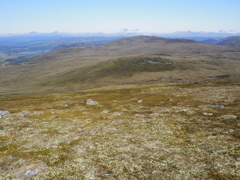
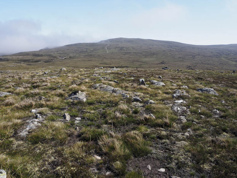
It was a fairly steep descent north through long heather then lower down some peat hags to below Meall a’ Bhuailt. It was then a short climb through rough vegetation and boulders to an outcrop marking the summit of this Graham Top.
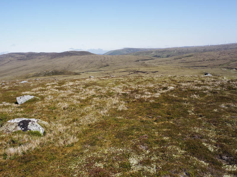
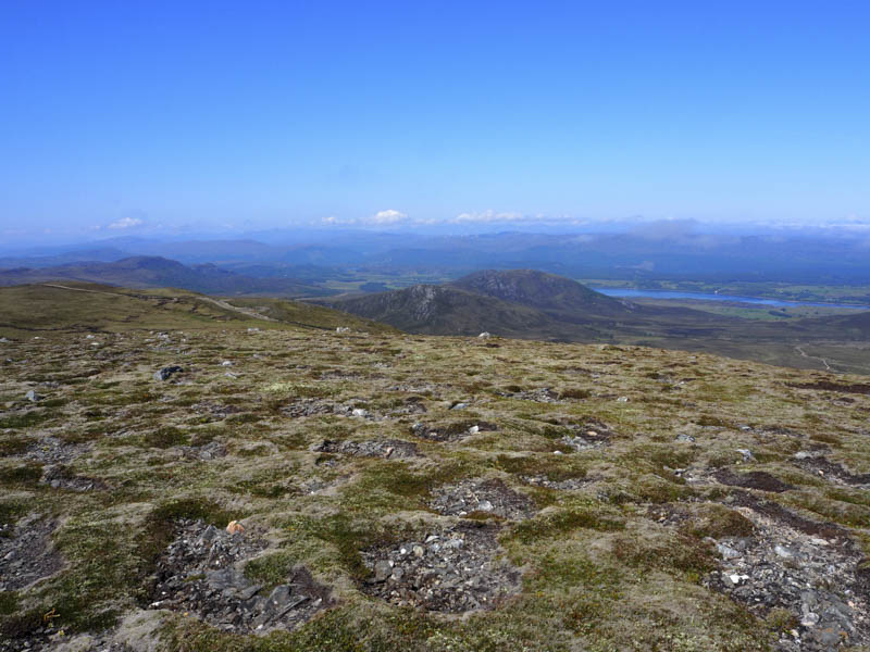
I was now some distance away from my starting point so it was time to head back. I descended south-west then traversed below Beinn Bhuraich through rough long heather and a few dry peat hags, gaining some height to rejoin the vehicle track at grid reference NH57931605. The track at this point was steep so I climbed to where I had left it earlier, then followed it south-west to reach the wind farm road at NH54351468. I then retraced my outward route back to the start.
- Time taken – 6.75 hours.
- Distance – 22 kilometres.
- Height climbed – 900 metres.