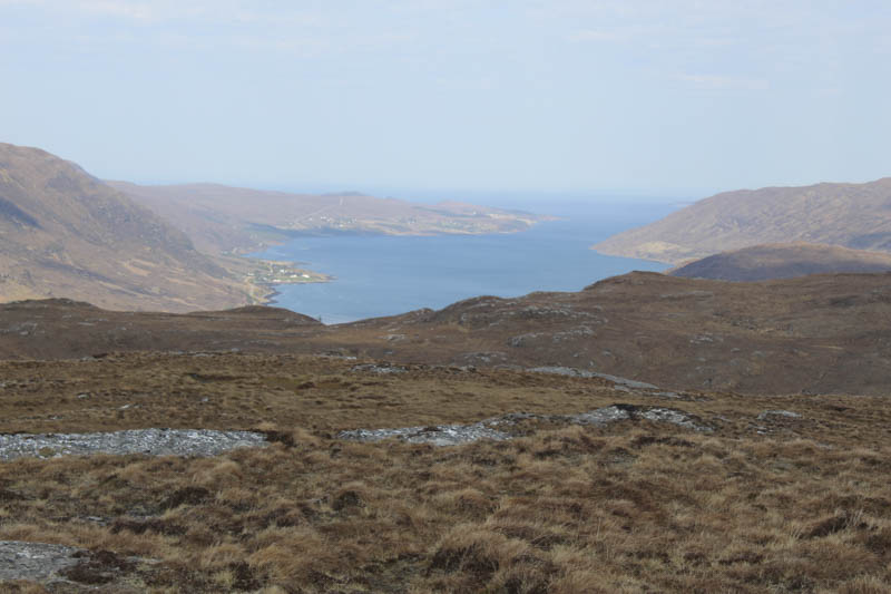
With a fine day forecasted I headed for the north-west and in particular the A832 Braemore Junction to Aultbae Road south of Dundonnell, passing a couple of car parks just after 8am noting that they were already overflowing, so others were making the most of the weather conditions.
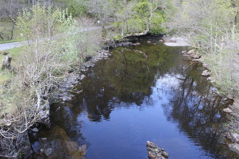
I parked on the east side of the A832 beside the post box at the junction with the unclassified road to Badrallach then walked along this minor road and crossed the road bridge over the Dundonnell River.
Immediately beyond it I walked east up a vehicle track to a fork looking for the start of the Coffin Road. It was signposted at the Inverbroom end but nothing at this side. Initially I went north-east round the back of a house but there was just a deer fence. On returning to the fork I went through an open stock gate (NH11528566) then followed various animal trails south-east and onto the Coffin Road which became more obvious the higher I climbed. (The actual starting point would appear to be immediately after passing through this gate climb the hillside, muddy in sections with a few alternatives, onto the Coffin Road which is also used by cattle.)
The path then ran alongside a deer fence to a closed stock gate but it was just as easy to step over the slack wire fence. Not long after crossing this fence I left the Coffin Road and entered a small gully then avoiding some crags climbed to the summit Cnoc na Garbh Choille. The highest point of this Tump was a heather and mossy knoll.
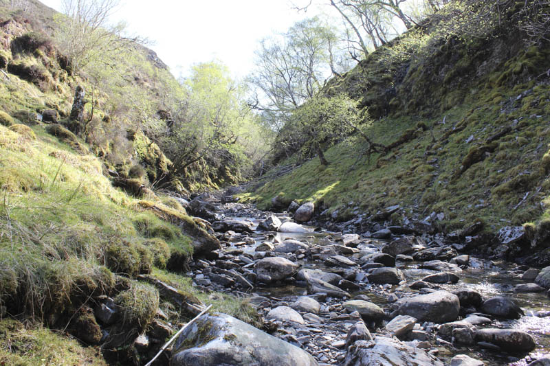
A descent north-east took me to some boggy ground then back onto the Coffin Road which was now more like a vehicle track. It was followed up the side of the Allt an Duibhe, passed a few waterfalls, to a ford.
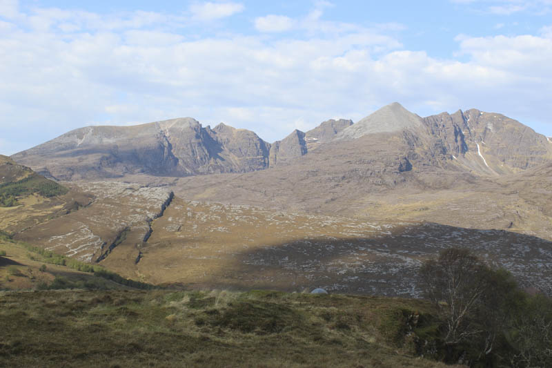
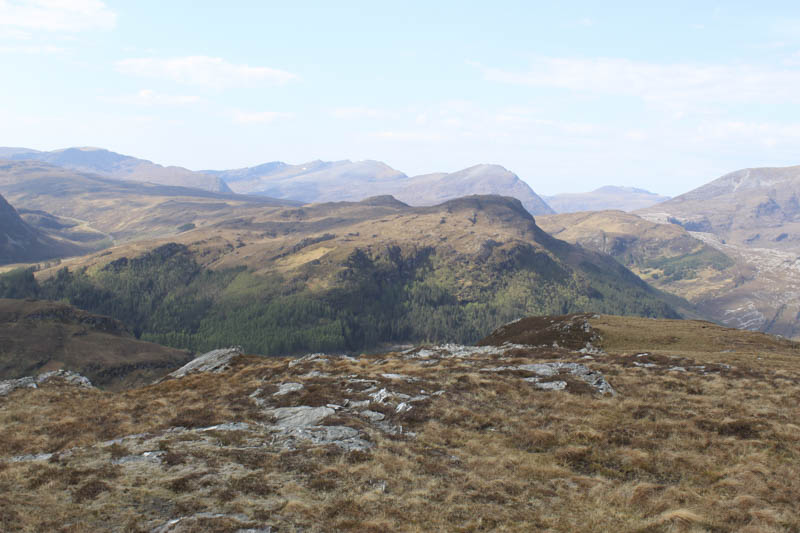
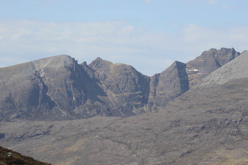
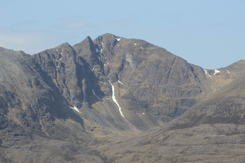
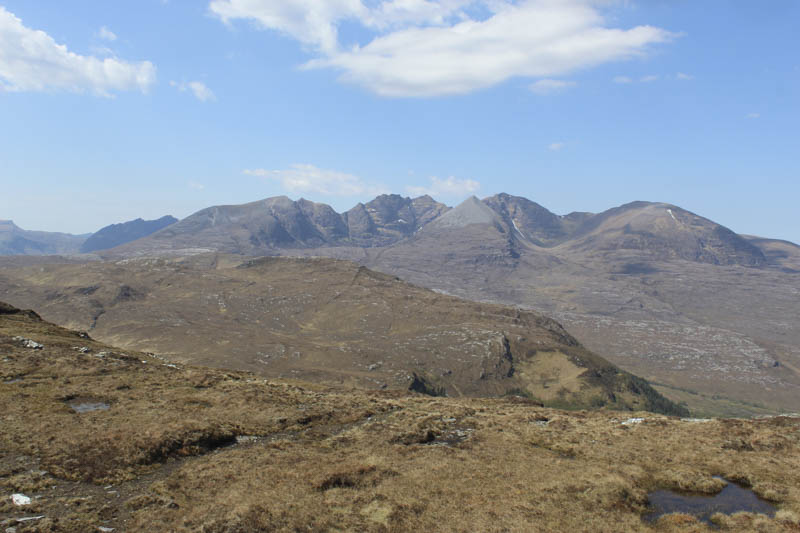
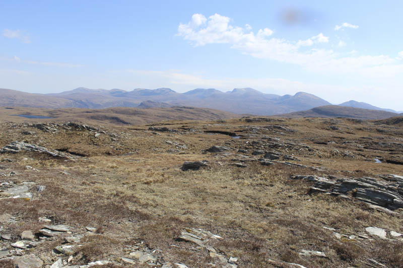
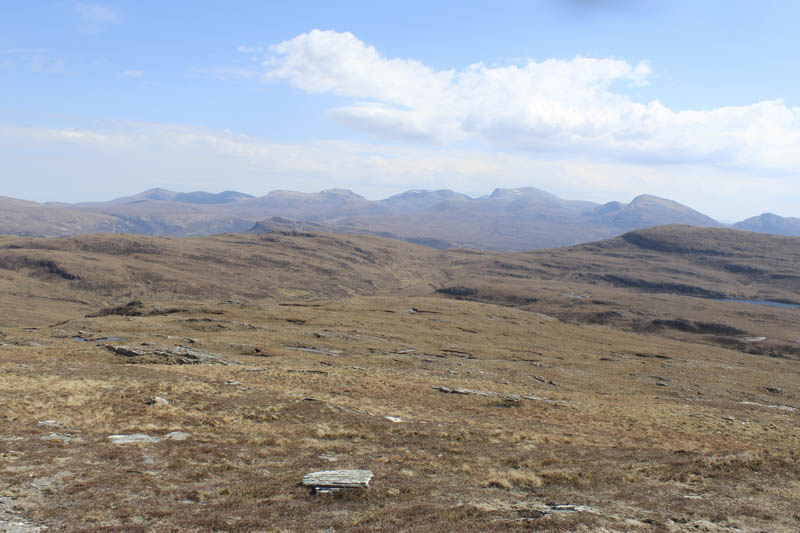
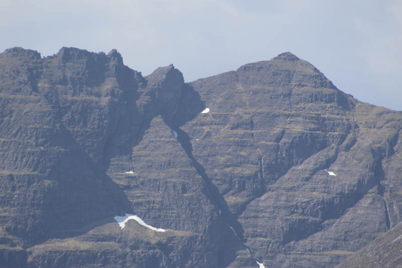
Once across it I left the Coffin Road and followed an ATV track north-east later leaving it around the 280 meters mark and climbed through heather towards Meall an Duibhe. The gradient later increased before easing for the final approach to the summit of this Tump. The highest point appeared to be a rock on an outcrop although I also visited a couple others. I took a break here sheltering from the wind with views across to An Teallach which appeared to have more of the sun.
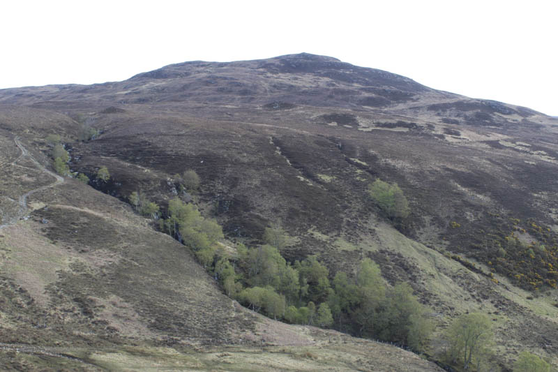
Afterwards I descended south, easy enough going, crossed the Coffin Road then took a slight detour round a small gully. I crossed a stock fence and descended through long straggly heather into a gully. It became obvious that after a steep drop into the gully the crags on the other side would prevent further progress. I therefore headed west descending through more heather, re-crossed the small gully, to reach a deer fence beside the Allt a’ Chairn.
Wooden slats at the edge of the fence and beside the stream had been damaged and this allowed me access to the other side of the fence. Here I crossed the Allt a’ Chairn, the easiest part of this section of my route as the water level was low, then climbed steeply west through the well spaced trees avoiding some fallen ones and the crags.
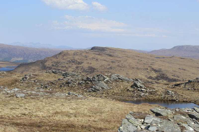
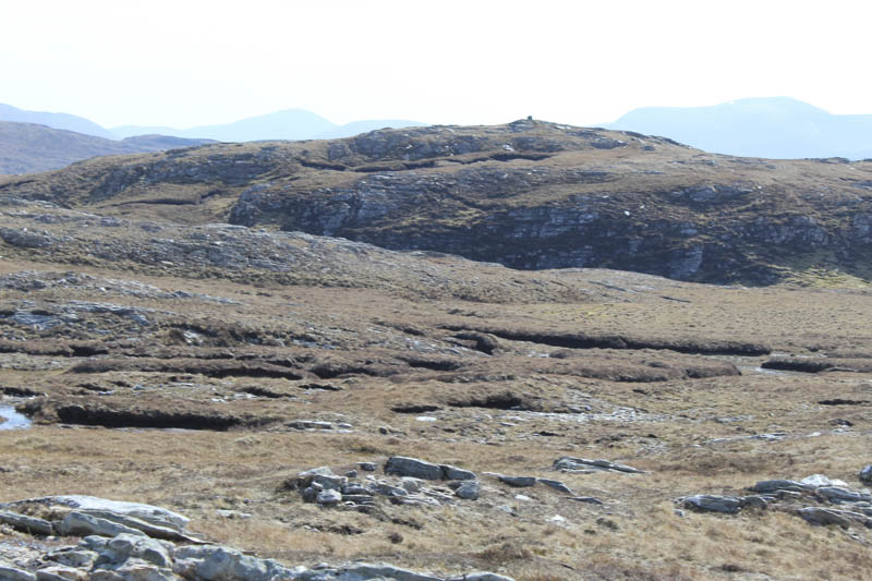
Once the gradient eased I headed south then later south-west as I headed for Creag Dhubh Coille a’ Bhun. This entailed working through several bands of rock as well as across rough vegetation to reach the summit of this Sub Dodd. There were a couple of outcrop highpoints but the southerly one appeared highest.
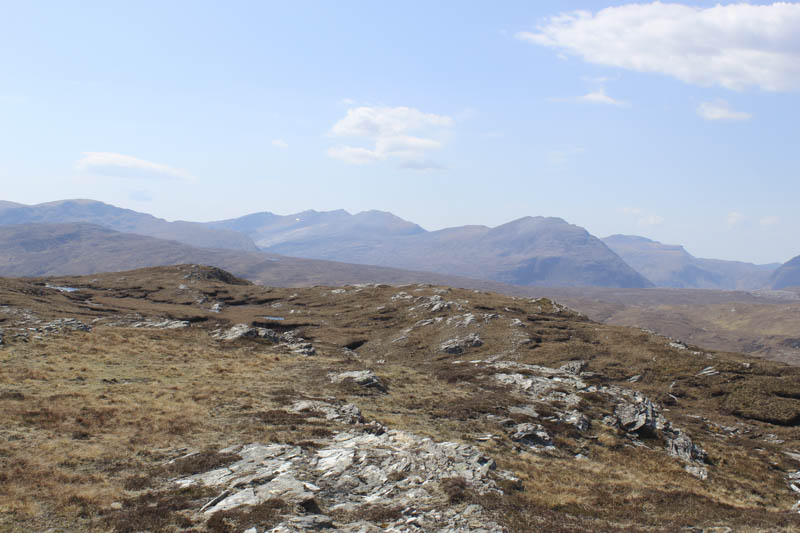
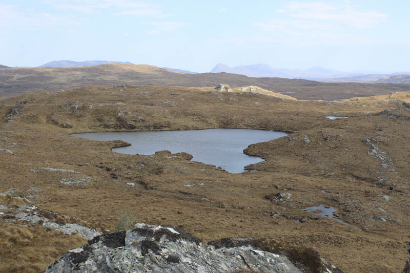
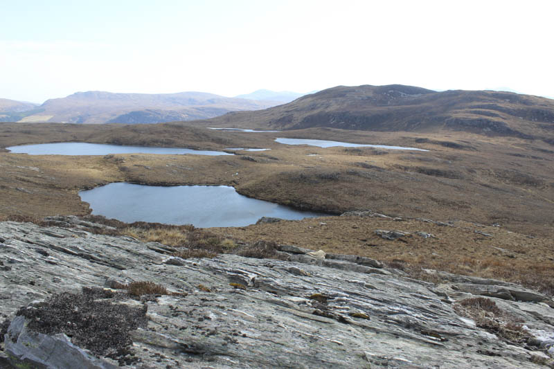
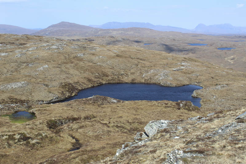
A slight descent south-east took me through some boggy ground with a few peat hags and to the south side of the unnamed lochan below Carn a’ Bhiorain. It was then a climb through another rock band to reach the large cairn marking the summit of the Hump, Carn a’ Bhiorain.
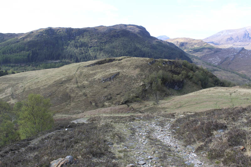
After lunch here I returned over Creag Dhubh Coille a’ Bhun and descended its north-west ridge, through the rock bands and to the merging of the Allt a’ Chairn and Allt an Duibhe. I crossed the Allt a’ Chairn and headed north up the east bank of the Allt an Duibhe before crossing it and rejoining the Coffin Road which was followed back towards the start of this walk.
- Time taken – 6 hours 10 minutes.
- Distance – 12 kilometres.
- Height climbed – 825 metres.