Attadale Estate have a walker’s car park at the entrance to the estate immediately after leaving the A890 Auchtertyre to Strathcarron Road and crossing a cattle grid. On arrival there were already a couple of vehicles there and another arrived after me.
Set off along the tarred road to the cottages with parking there for those visiting Attadale Gardens. Beyond these cottages a right turn led passed the stalkers cottage and to the holiday lets at Strathan where the tarred road ended.
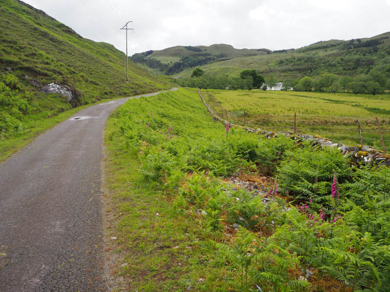
A locked stock gate prevented unauthorised vehicular access to the estate track with a small gap at the side for those on foot or with a cycle.
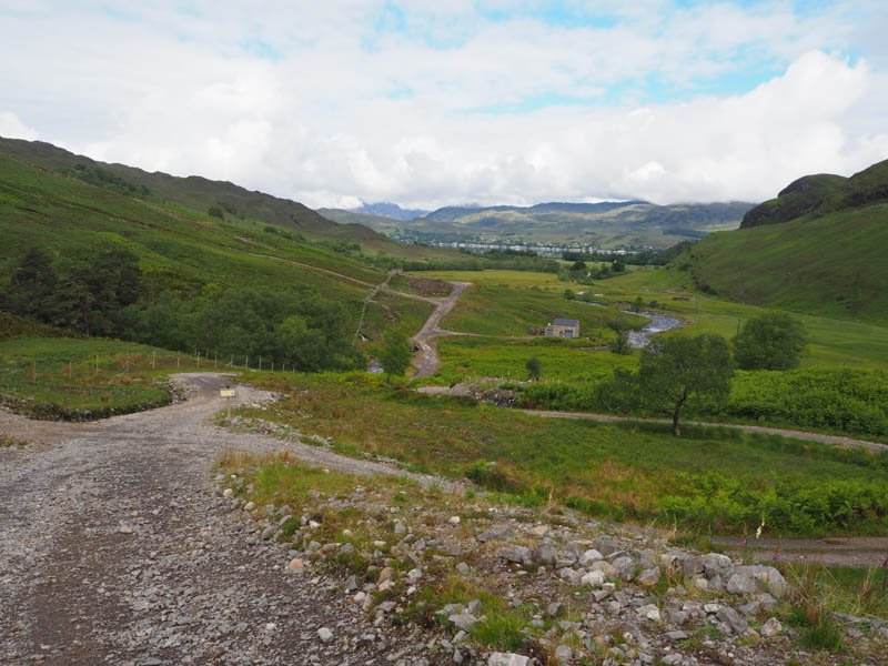
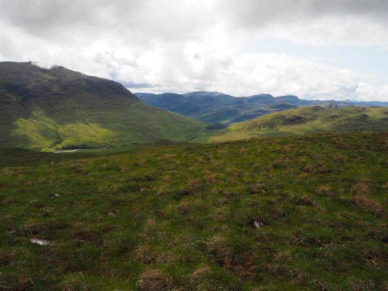
The track was in reasonable nick and led to the bridge over the River Attadale after which it turned briefly south then south-east and steepened.
It was warm work and harder for the couple I passed pushing their bikes, they overtook me earlier. However, on a slight downward slope they passed me again as did a chap on an electric bike who didn’t speak.
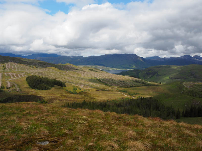
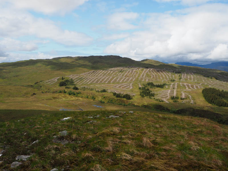
On reaching gates in a deer fence, (NG95713657) left the main track, passed through the pedestrian gate, and onto the signposted track Killilan 7K, Loch an Iasaich 1.5K. This track was a bit wet after overnight rain and muddy in places due to forest operations. Most of the trees in the area had been felled.
At a junction of tracks, right was to Loch an Iasaich, continued south to the end of the cleared forest and another set of double gates. Once beyond them left the track and walked east through some boggy ground, briefly following a wet ATV track.
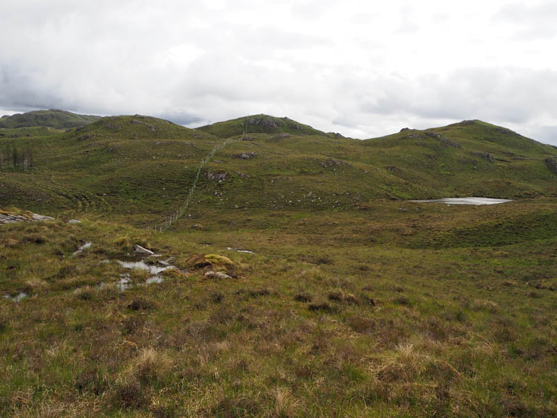
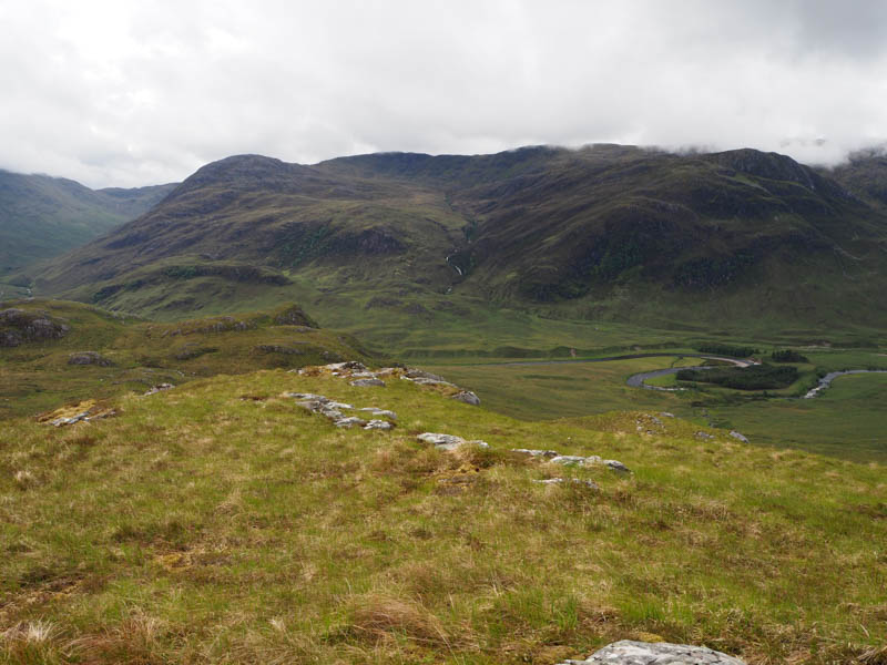
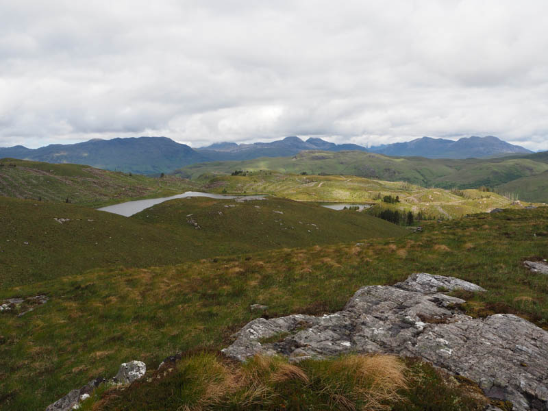
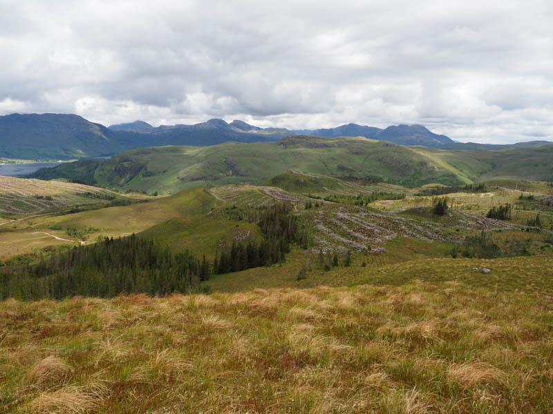
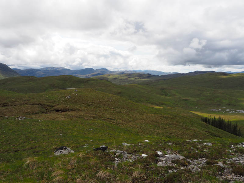
There were a few undulations as I headed through mainly short vegetation onto the summit of Carn Loch an Droighinn. The highest point of this Tump was an outcrop.
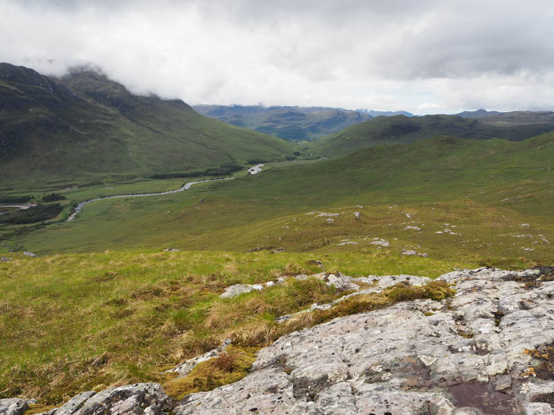
After a shortened break due to the midges descended west, with a slight diversion to avoid some crags, then crossed the track to Killian.
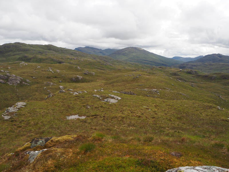
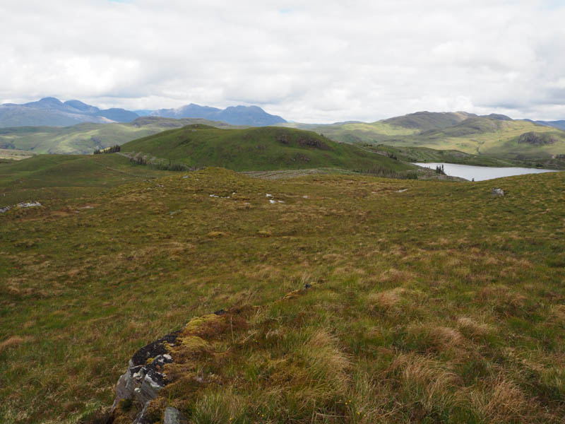
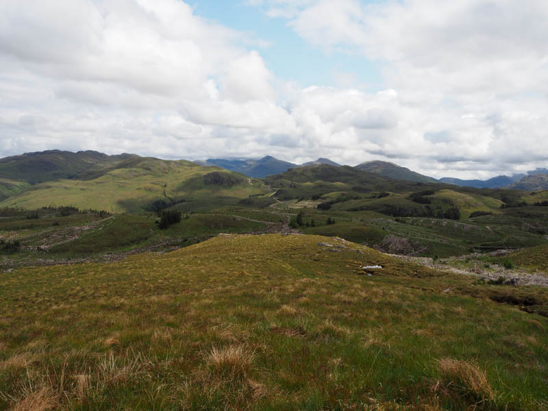
Thereafter it was a steady climb through similar vegetation onto the summit of the Tump, Carn Allt na Bradh, marked by an outcrop.
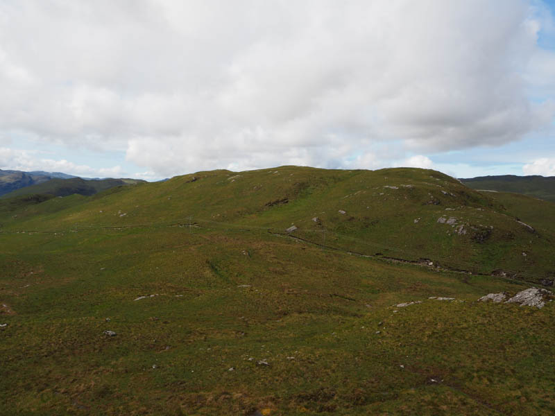
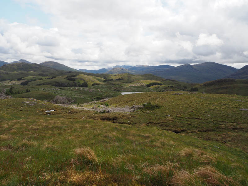
A descent west then south-west through more of the same underfoot conditions was followed by an easy ascent of Stob Mam Attadail. The highest point of this Tump was a large rock.
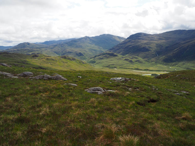
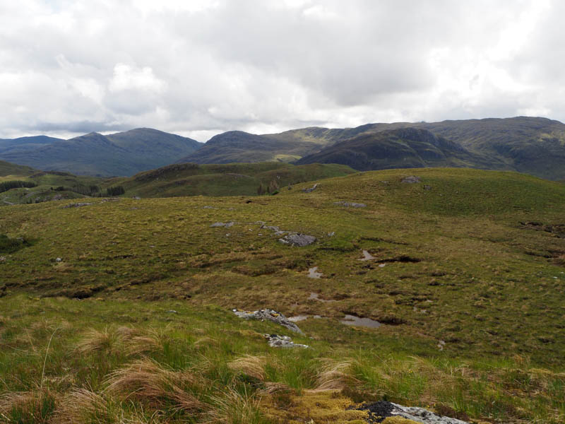
Descended north to some boggy ground adjacent to a deer fence and here located a tied down gate. (NG94533541) Once through it the vegetation was longer and there was some brash before a fairly steep climb took me onto the Tump, Stob Loch an Iasaich, the highest point being some moss.
The initial plan was to descend to and round Loch an Iasaich and locate the track through the felled trees and return by the approach route. However, spotted a track to the north so descended NNW to a gap in some trees that were still standing, went along their edge, and across more rough vegetation to reach the track immediately north of a mini hydro dam. (NG93433631) This track descended north eventually emerging beside a building in connection with the mini hydro dams and saved several kilometres.
Went left here, crossed a bridge over the River Attadale, to reach a padlocked gate. Signs here advised against crossing the fence and directed walkers along a vehicle track onto the main estate track east of Strathan. The outward route was then followed back to the car park.
- Time taken – 4 hours 50 mins
- Distance – 15.25 kilometres.
- Ascent – 570 metres.