Maol Ban and Cruach na h-Airighe
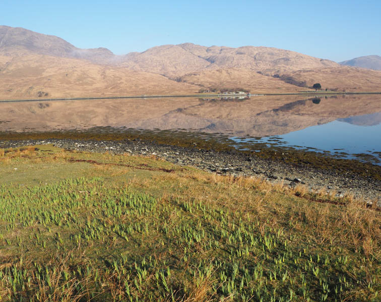
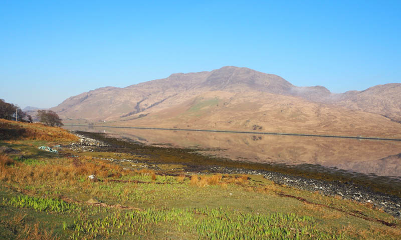
The penultimate day on the Isle of Mull involved a return to the south-east corner of the Island this time leaving the single track Lochbuie Road, accessed from the A849 at Strathcoil, and driving east along the minor single-track road on the south side of Loch Spelve. At NM677259 I parked on the grassy slope on the north side of the road opposite an ATV track.
Walked SSE up this ATV track, surface slightly damp after overnight frost but on the whole, it was in a reasonable state after an extended dry spell with only the occasional boggy area.
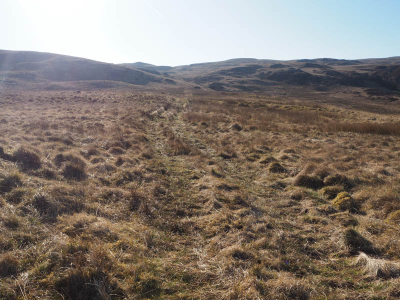
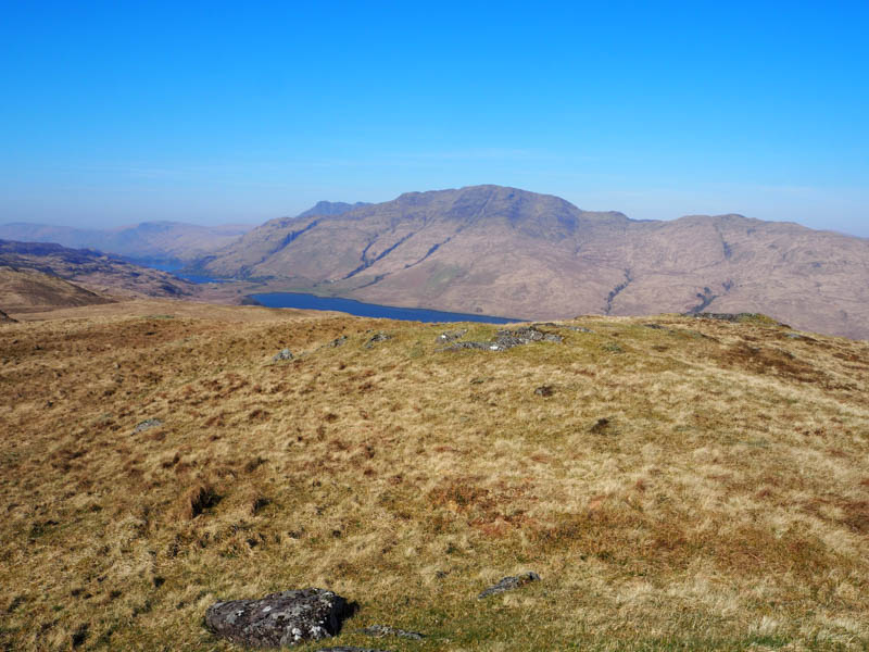
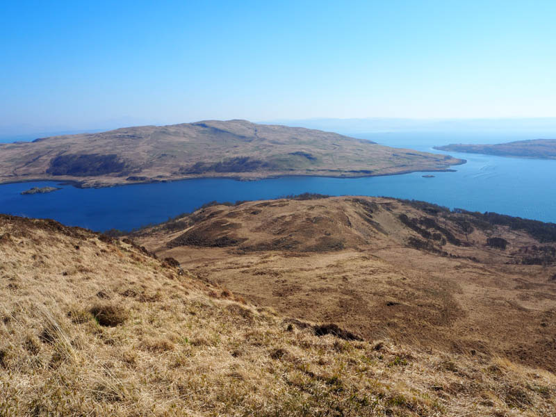
This made for good progress and around NM683243 left the track which continued west and walked south through some tussocky ground onto the trig point on Maol Ban. The highest point was a grassy mound south-west of the trig.
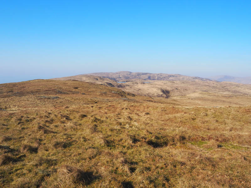
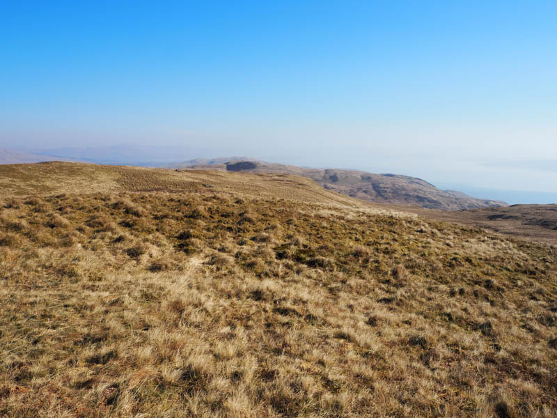
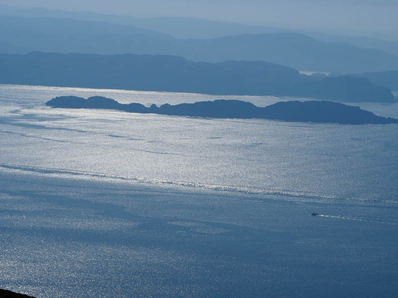
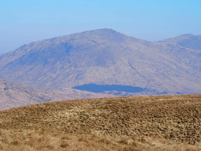
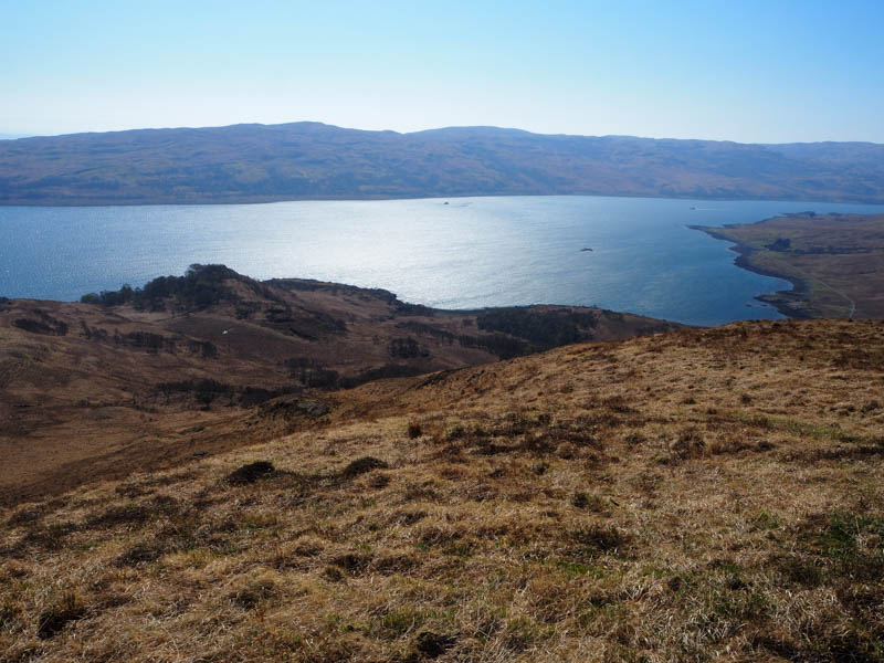
It was sunny as it had been all week, so I sat beside the trig for some time. The views were rather hazy, possibly caused by wildfires on the mainland.
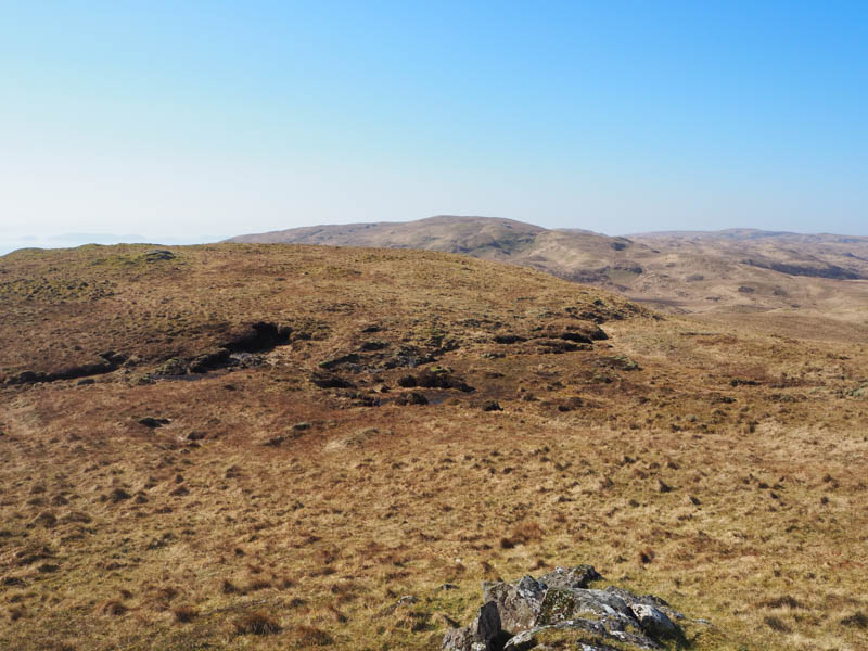
Descended north-east through more tussocks although a deer track made things easier then more deer tracks took me onto Cruach na h-Airighe. The highest point of this Tump was marked by a cairn.
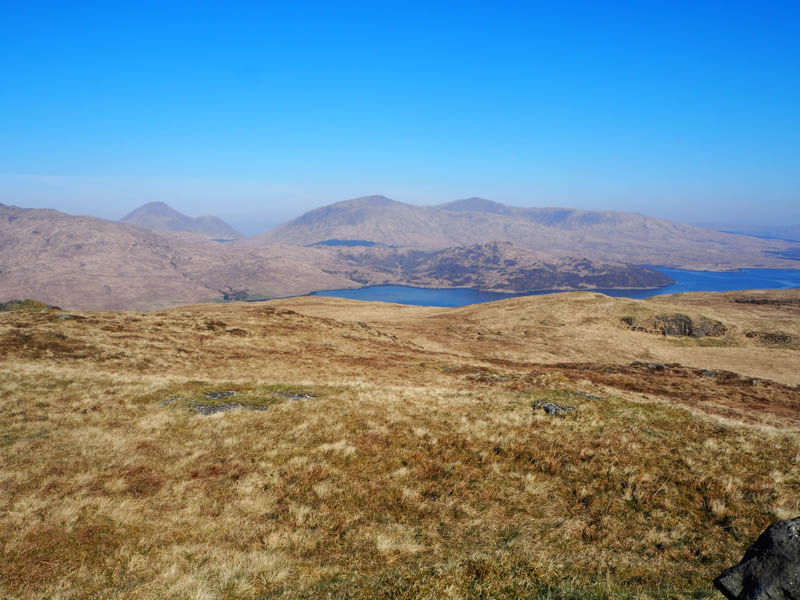
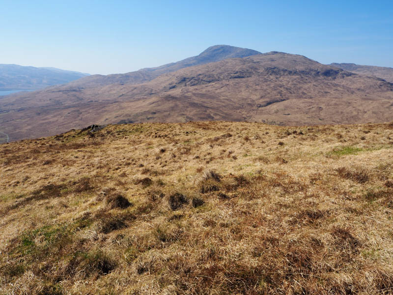
The wind was picking up as I descended north-west, lots of tussocks, but some deer tracks helped to reach the gorge holding the Allt a’ Chorrain. The vegetation, tussocks, moss, and grasses made walking a bit awkward as I headed through the well-spaced trees eventually reaching the road around 600 metres east of where I had left my car.
- Time taken – 3 hours.
- Distance – 10.5 kilometres.
- Ascent – 400 metres.
Cruach Ardura
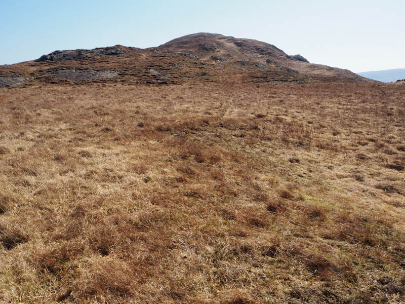
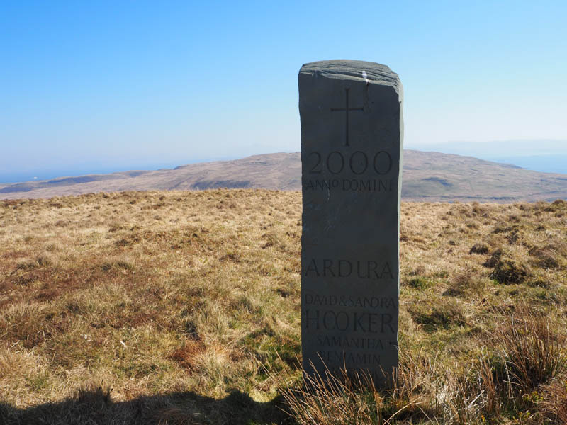
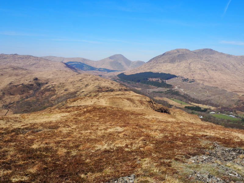
I parked on the verge at the highpoint on the Lochbuie Road around a kilometre south of the A849 at Strathcoil and walked a short distance south-west to a tied down gate in the deer fence. Once over the it climbed ESE through rough vegetation, including dead bracken, and trees, which were well spaced. Beyond them the ground wasn’t as rough as I headed for the summit of the Hump, Cruach Ardura. The highest point was unmarked, just some grass with a monument nearby.
The return was by the upward route.
- Time taken – 45 minutes.
- Distance – 1.75 kilometres.
- Ascent – 175 metres.