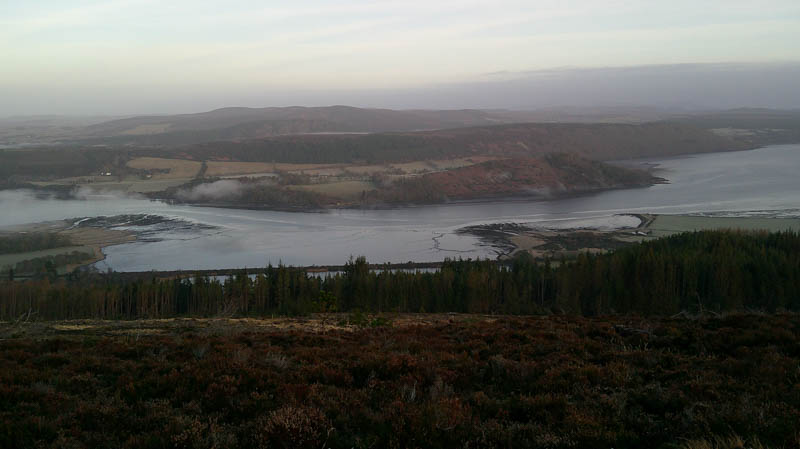
Cnoc a’ Chlaiginn – Parked at the start of a vehicle track on the east side of the Easter Fearn Burn on the B9176 Struie Road, (Alness to Bonar Bridge) walked across the bridge and onto a vehicle track into Struie Wood, gated entry.
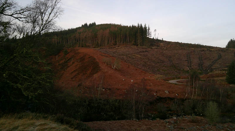
Track zigzagged uphill through harvested areas with some mature trees, a few blocking the route but easily rounded.
At track junction went left, south-west, to the point mentioned on the Hill Bagging web site, an old mountain bike trail. Left the track at this point, there were a few trees down, and entered the mature wood. No sign of the trail but the trees were well enough spaced and on climbing north some brash and a few old fallen trees. A bit awkward at the top end of this mature area of woodland as there were several fallen trees overlapping each other.
Walked west between the mature woodland and a harvested area encountering a bit of brash and some cut trees before reaching an open heather area and the cairn on Cnoc a’ Chlaiginn. The highest point of this Tump was just some heather to the west.
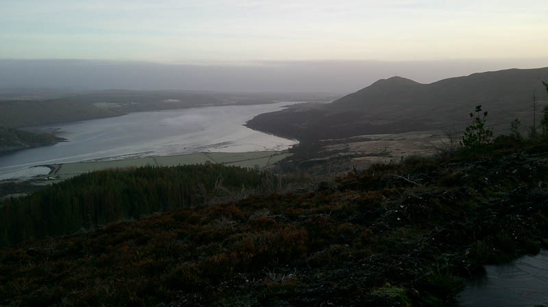
Returned to the edge of the open area, entered the mature trees and descended south-east through them to rejoin the vehicle track and return to the start by the approach route.
- Time taken – 1 hour 35 minutes.
- Distance – 3 kilometres.
- Ascent – 230 metres.
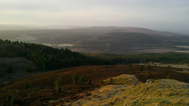
Sidhean Mor – Parked at the entrance to Balblair Wood, located just north of Bonar Bridge on the A836 Invershin Road, crossed the access road onto a path with green marker posts. This led to a forest track going east towards Rhinamain before turning NNW. It may be possible to start the ascent from here if parking was possible.
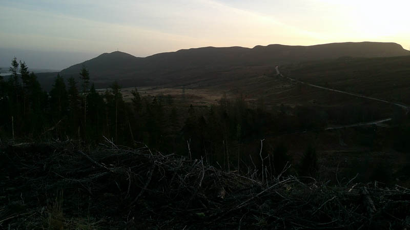
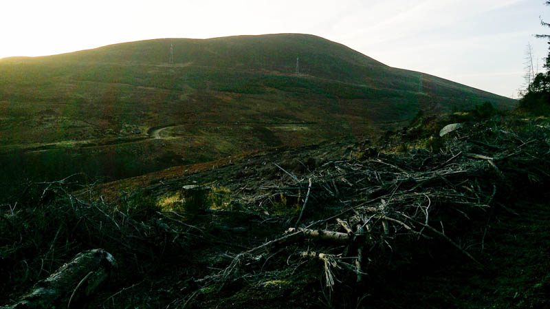
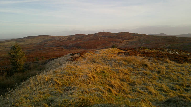
The track ran mainly through mature trees eventually coming to a comms tower where it came to an end. A closed off mountain bike trail started here. Walked across some frost covered heather into a slight dip, wet in places, followed by an ascent through heather to the summit of the Tump, Sidhean Mor, marked by a cairn.


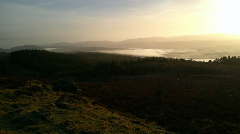
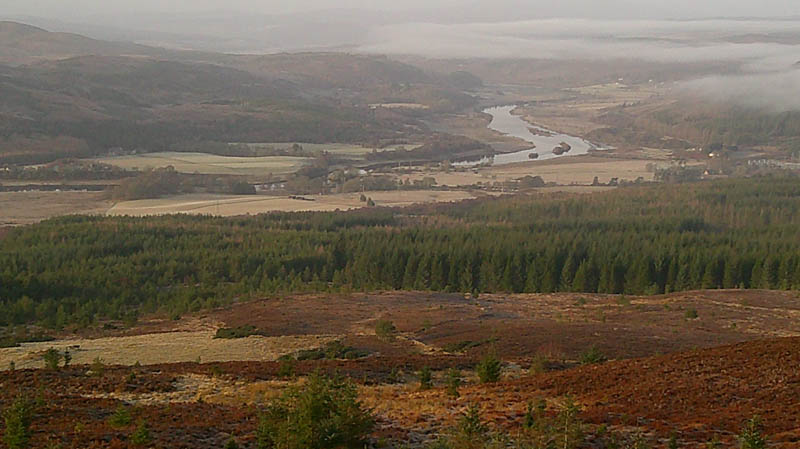
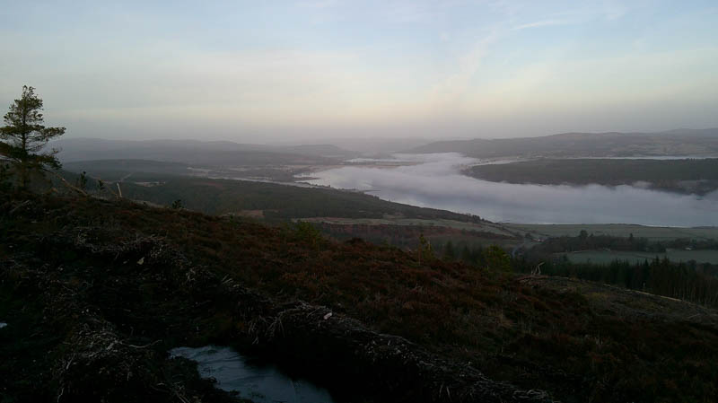
After a break for lunch returned to the comms tower then down the forest track leaving it well before Rhinamain (NH60579415) and descending another track south-west, more direct, returning to the green route, the upper car park and start.
- Time taken – 2 hours 35 minutes
- Distance – 8.5 kilometres.
- Ascent – 255 metres.