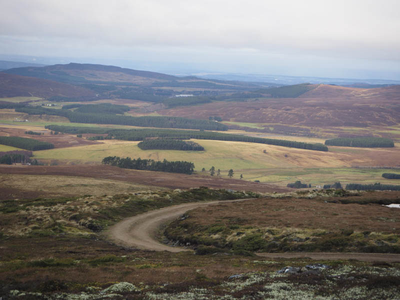
Carn a’ Choire Mhoir – I drove to Tomatin, located on the old A9 south of Inverness, then north-east along the minor road to Balvraid where I managed to park on rough grass at the side of the access road to Balvraid Lodge. I then walked south along a vehicle track disturbing numerous game birds and a few sheep.
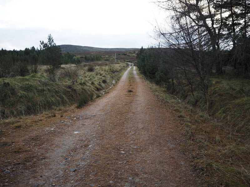
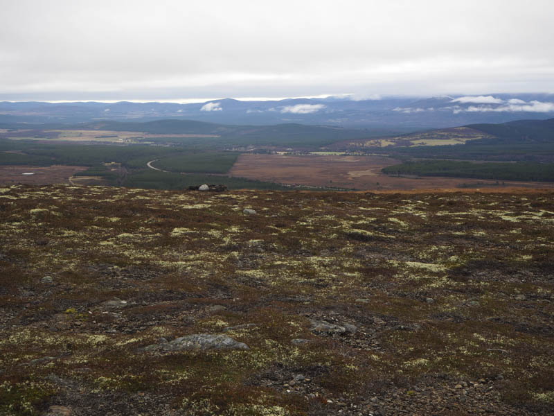
After gaining a bit of height the track headed east to below Carn a’ Choire Mhoir.
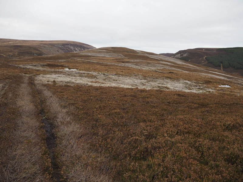
There were several vehicle tracks low down that weren’t shown on my map. I heard what I thought were shots but later realised it was a machine to scare off predators from attacking the game birds.
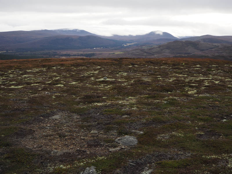
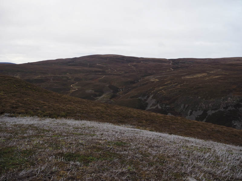
The mapped track then zigzagged to below the North Top of Carn a’ Choire Mhoir then below the ridge line where I spotted the bird scarer. The track passed just below the trig point marking the summit of the Graham Top, Carn a’ Choire Mhoir, so after visiting the trig I took a break nearby and while seated behind a rock a couple of runners passed.
I then re-traced the upward route.
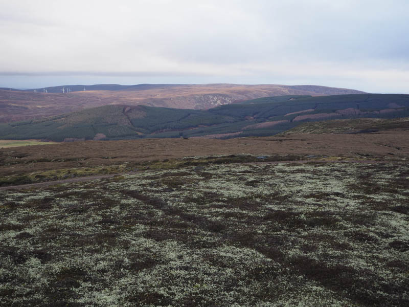
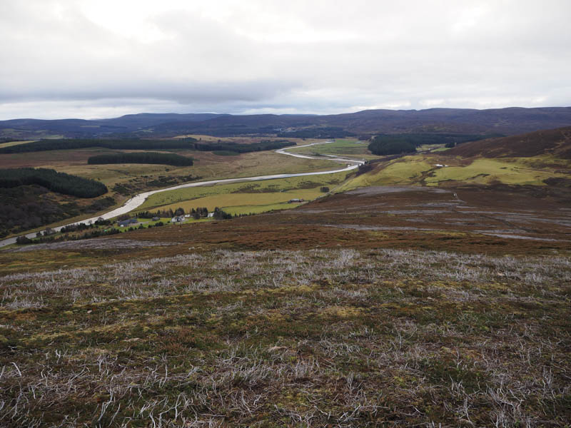
Carn nam Bain-tighearna – I left my car beside the buildings at Slochd on the old A9 south-east of the Slochd Summit and Inverness and walked east along the old road then under the bridge carrying the new A9. Here I left the road, passed through a few young trees, and crossed a fence before climbing to a vehicle track not shown on my map. I followed this track to another fence then walked through long heather to a wooded area where the trees were well enough spaced to make the ascent through them easier than the long heather.
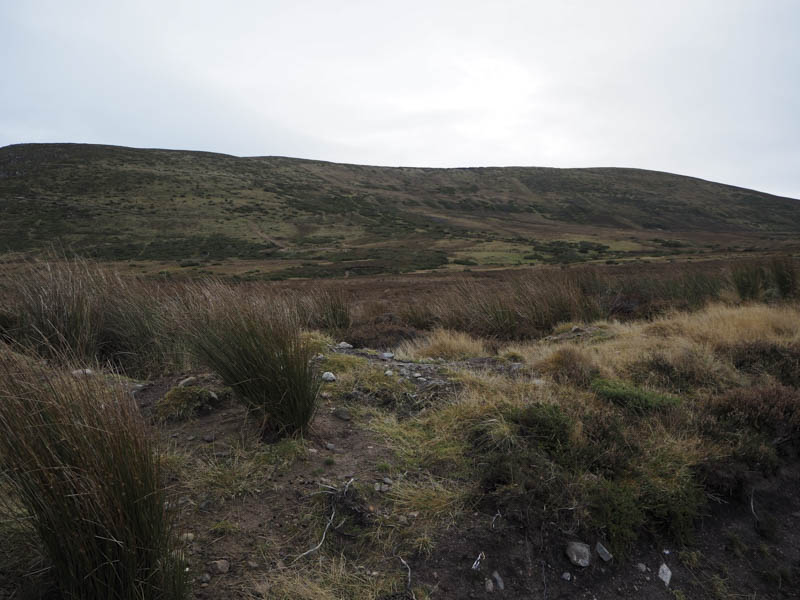
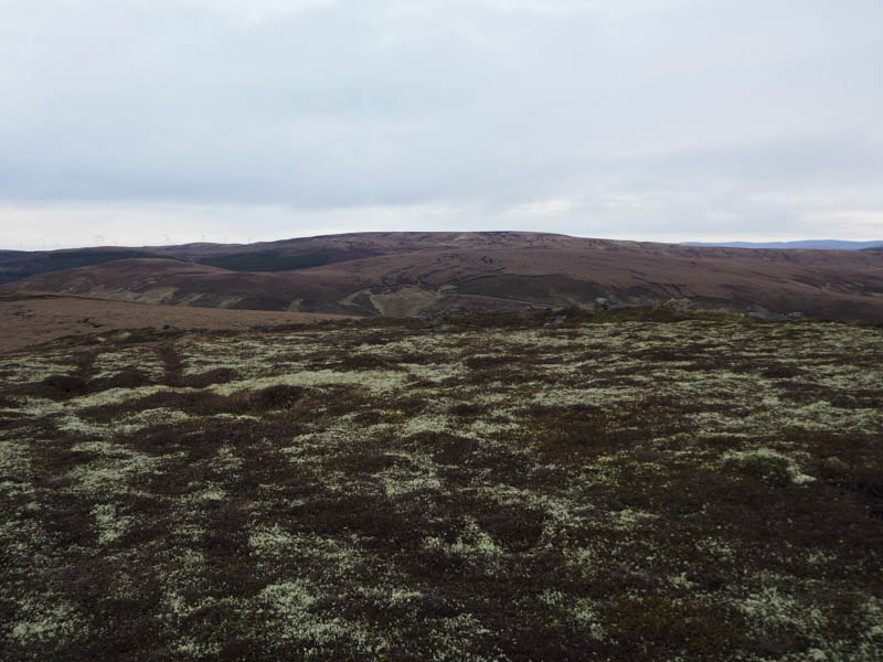
On exiting the trees I climbed the south ridge across heather of varying lengths, mostly short as muirburning had taken place here over the years. There were also several animal trails to follow to reach the large cairn marking the summit of Carn nam Bain-tighearna.
After spending time at the summit of this Graham Top I returned by the ascent route.
Tom na Slaite – This Hump was located south-east of Inverness. The start of its ascent was accessed from the A9 south-east of Moy along the minor road to Ruthven where I parked on the verge west of the Allt nam Meannan.
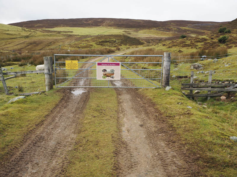
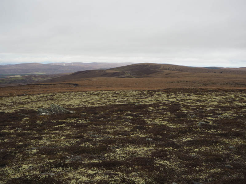
I crossed the road bridge then walked up the vehicle track on the east side of this stream to a locked gate. Once over the adjoining fence I continued north to a junction of tracks where I left the main track and followed one up the south-east ridge of Tom na Slaite.
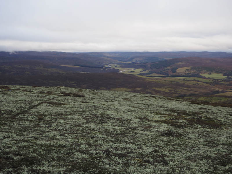
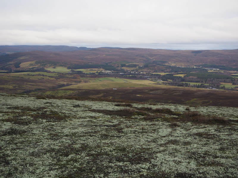
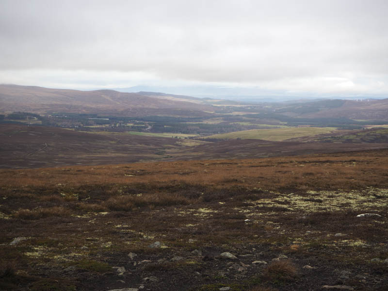
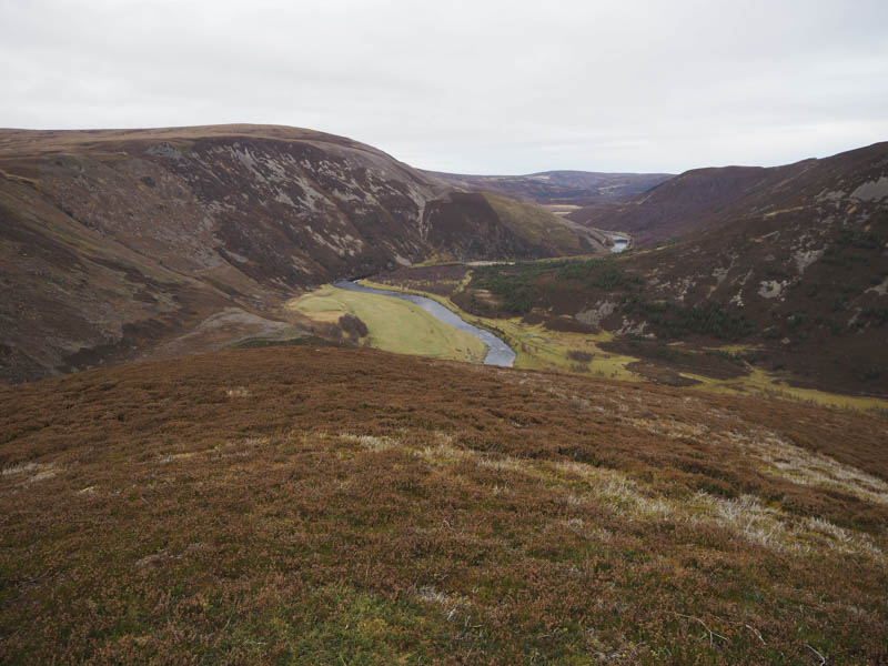
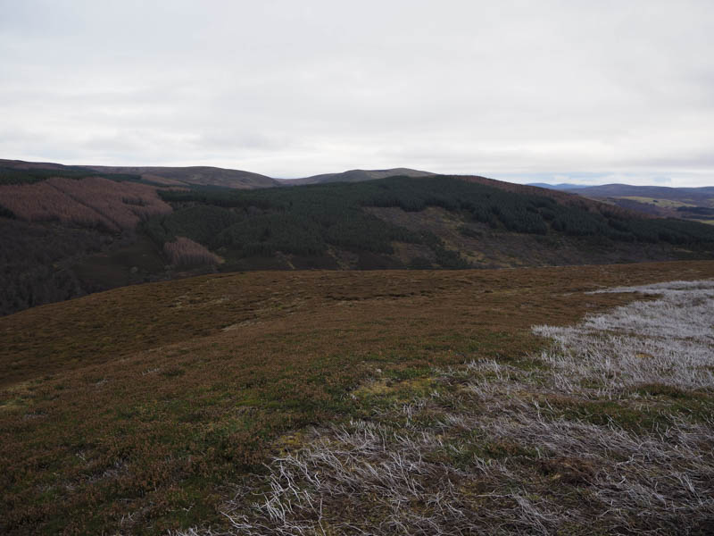
As height was gained the condition of the track deteriorated and once the gradient eased the track disappeared amongst peaty and boggy ground which was crossed then a drier area led to the summit of this Hump, which was ground within one meter of a metal fence post. I also visited the cairn to the north-east with good views of the River Findhorn and Creag a’ Chrocain.
The return was by the ascent route.
- Total time – 5 hours.
- Total distance – 16 kilometres.
- Total height climbed – 820 metres.