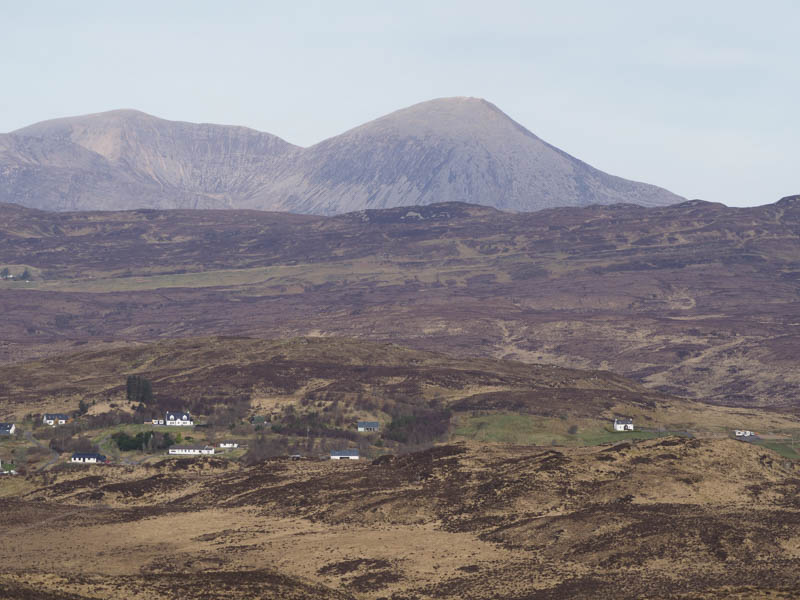
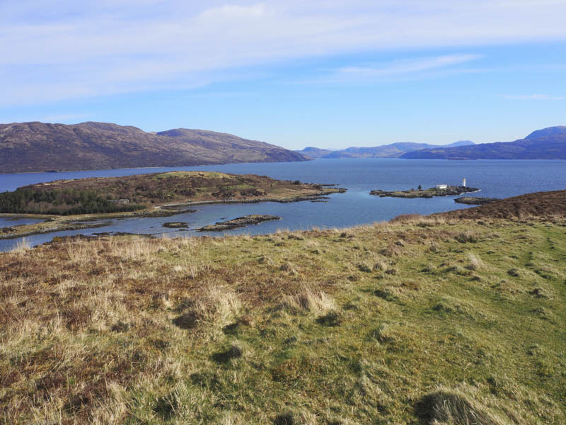
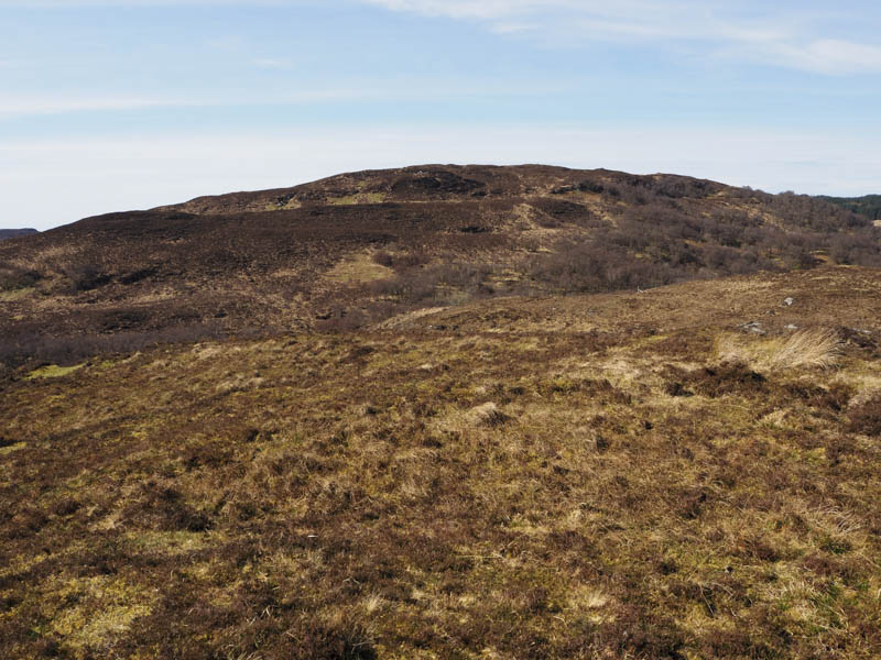
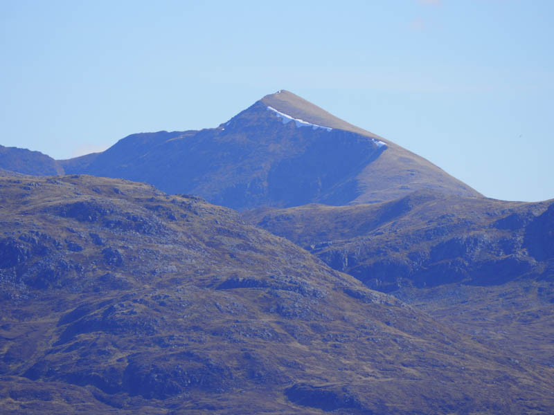
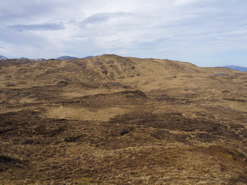
A’ Mhaoile – My target was to climb a few wee hills on the Sleat Peninsula on the Isle of Skye. The first one was the Tump, A’ Maoile, located on the west side of the A851 Broadford to Armadale Road, north of Isleornsay. I left my car in a small lay-by to the north-east of the hill and near the head of Loch na Dal. (NG700151) I crossed the road to a small wicket gate which was tied down so I went over the adjoining barbed wire fence and through some wet ground as I followed the edge of a deer fence to its highpoint. Beyond the fence the vegetation was rough but I came across an ATV track that took me close to the summit which was just some grass and moss.
I then retraced my route back to the car.
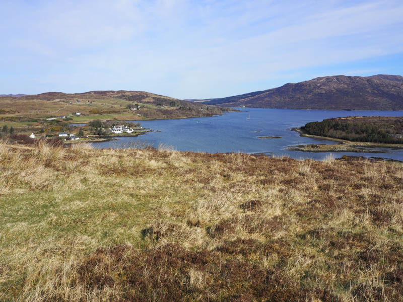
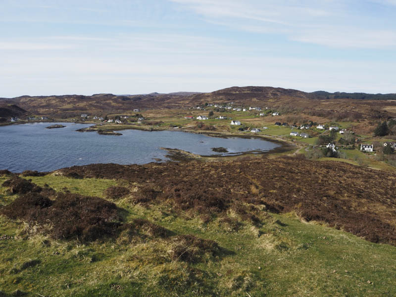
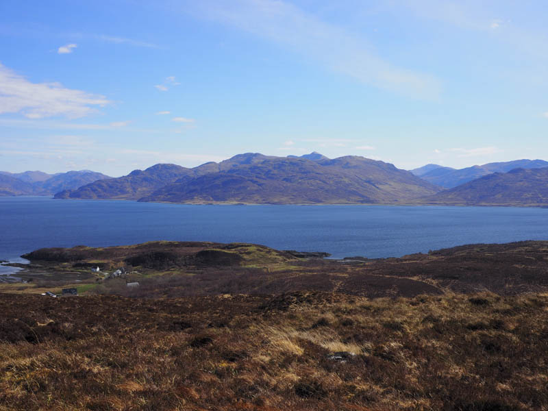
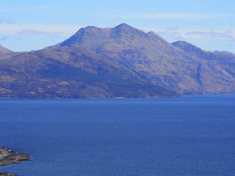
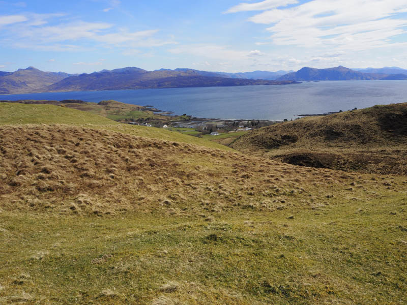
Druim Ban and Cnoc an Fhreacadain – After A’ Maoile I drove a short distance south to Isleornsay parking opposite the Hotel. It was a pleasant sunny morning and surprisingly busy for early April with tourists and hotel guests. I walked south through the hamlet passed the Tump, Ornsay, as the tide was in so access wasn’t possible.
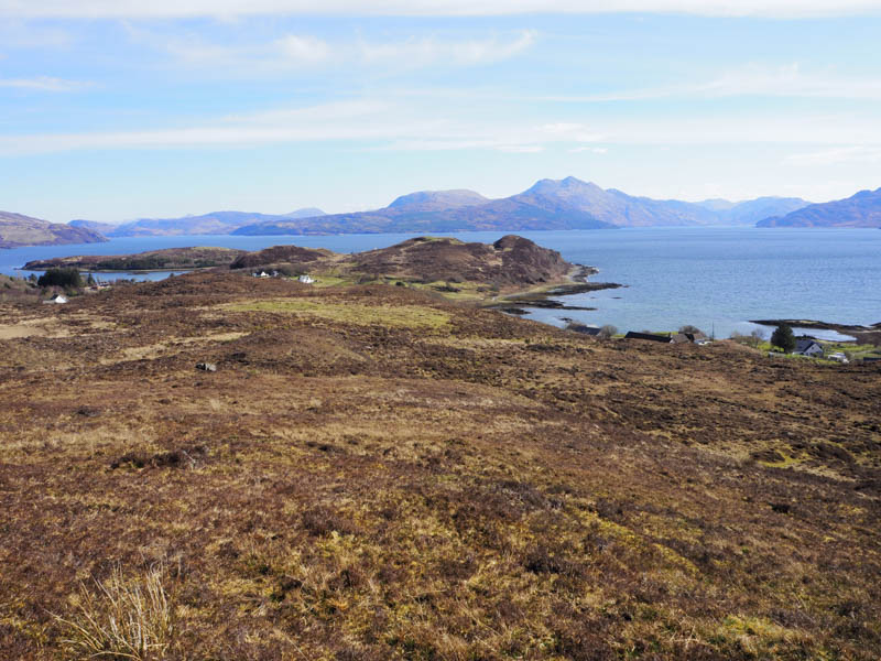
Opposite the west end of Druim Ban I left the road and walked along a track towards a house, crossed a stock gate and a grassy field to reach a pedestrian gate and the open hillside. I then made the short ascent through vegetation, with a few paths, to the summit of the Tump, Druim Ban, marked by a grassy knoll.
Despite a breeze I remained here for a time enjoying the sun and the views before returning to the road and continuing south towards Camascross taking the high road at the junction. At the highest point on this road I crossed a barbed wire fence and walked through rough vegetation to the summit of the Tump, Cnoc an Fhreacadain, marked by some grass and heather.
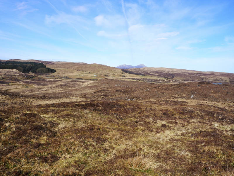
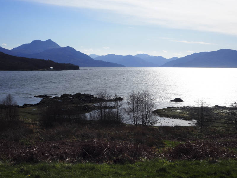
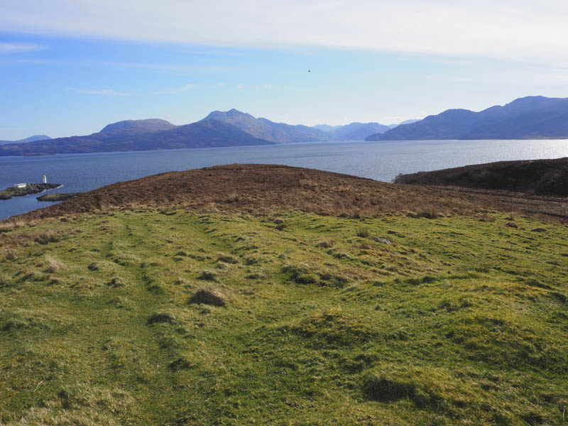
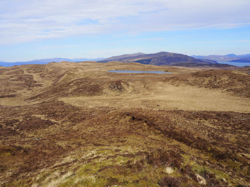
An attempt was made to continue to Beinn an Dubh Leathaid but beyond a deer fence there was a deep rocky cleft, too difficult to cross, so I returned to opposite the Isleornsay Hotel. The tide was on the turn but without knowing when low tide was I didn’t attempt to cross to the Tump, Ornsay, leaving it for another day.
Beinn an Dubh Leathaid – Having abandoned an attempt from the north due to the gorge I drove south-west along the A851 Broadford to Armadale Road to north of the minor road leading to Ord, parking on a small tarred section on the west side of the road. (NG677111)
I crossed the road and a stock fence, there was a gate further south but I didn’t spot it until into the rough vegetation not that it would have made any difference to the underfoot conditions. I walked east through the vegetation, including tussocks, went over a few knolls and a deer fence then some wet tussocky ground to reach the summit of the Tump, Beinn an Dubh Leathaid. I visited a few possible highpoints before spending some time sitting in the sun taking in the views.
The return was by the ascent route.
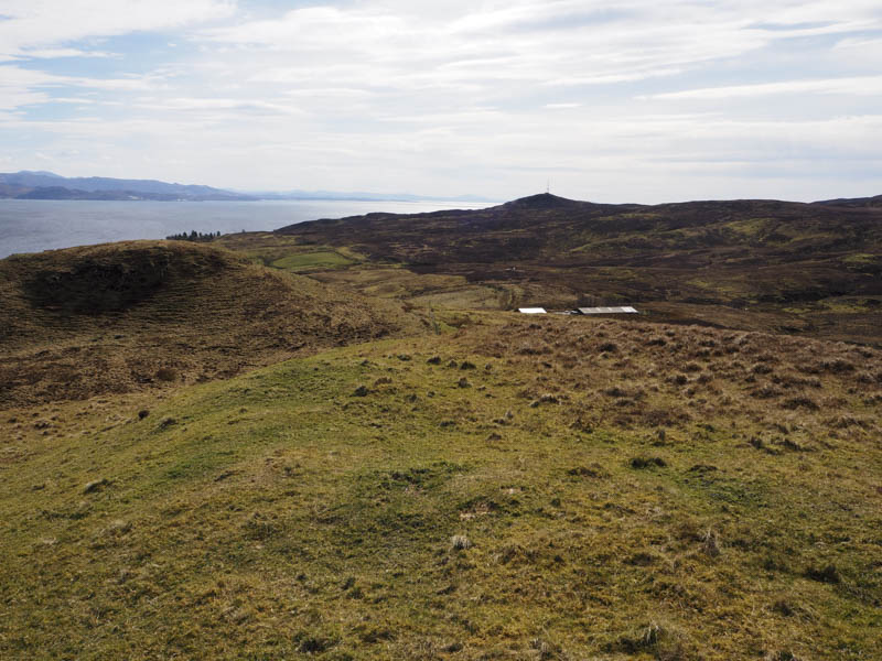
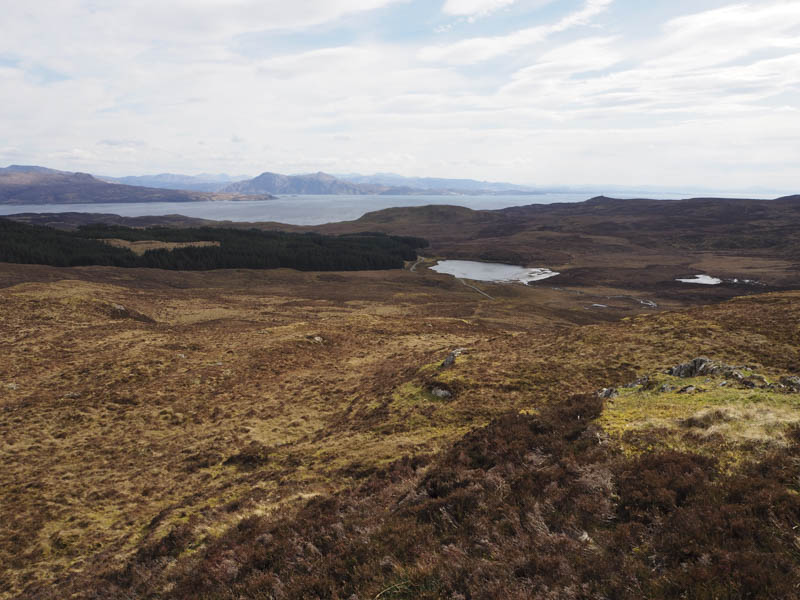
Cnoc a’ Chaise Moire – I drove up the minor road on the west side of the A851 Broadford to Armadale Road through the hamlet of Teangue, parking on the verge near the end of the tarred road. There were a few no parking signs in the area. I walked round the side of a house, watched by the occupant, went over an unstable fence and climbed steeply through grass and dead bracken onto the South Top of Cnoc a’ Chaise Moire.
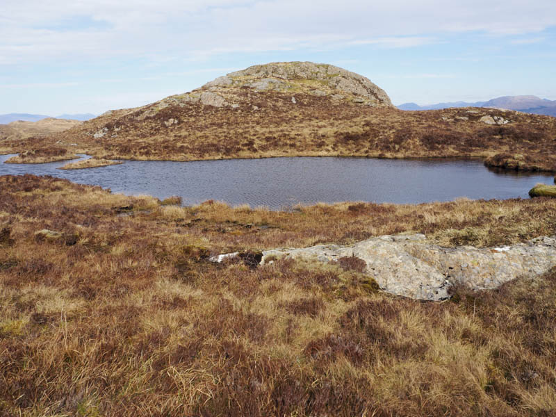
I then descended north to a deer fence, constructed with strands of wire so easy to pass through, then steeply up the grassy hillside to the summit of Cnoc a’ Chaise Moire. The highest point of this Tump, was just a clump of grass.
I returned to the deer fence then followed a stock fence, later crossing it and a stock gate, to emerge onto the vehicle track beside Scottish Water premises. I then walked down this track to the tarred road and my car. It didn’t look possible to park on this vehicle track as it also gave access to a couple of residential caravans but it does give an easier route onto the hill.
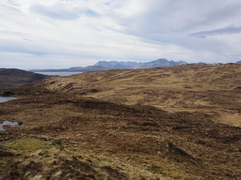
An Cruachan – My starting point for this Tump was the highpoint on the minor Ord Road, accessed from the A851 Broadford to Armadale Road north of Teangue, where I managed to get my vehicle off the road beside a pile of rubble. I then crossed the road and climbed north-east through rough and at times wet vegetation, with the occasional animal trail, to reach the summit of An Cruachan. The highest point was a grassy/mossy knoll.
I then retraced my route.
- Total time taken – 6.75 hours.
- Total distance – 11.5 kilometres.
- Height climbed – 645 metres.