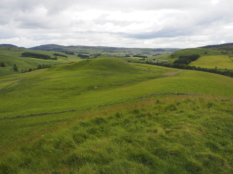
An Dun, The Eirionnaichs and Milton Knowe – I left my vehicle on the south side of the B950 Kirkmichael Road, north-west of Wester Bleaton Farm, and walked south-west to the access road leading to this farm. Here I crossed a field, passing through a couple of stock gates to reach the foot of the steep grassy north face of An Dun. The grassy summit of this Tump was reached only twenty minutes after setting out from my car.
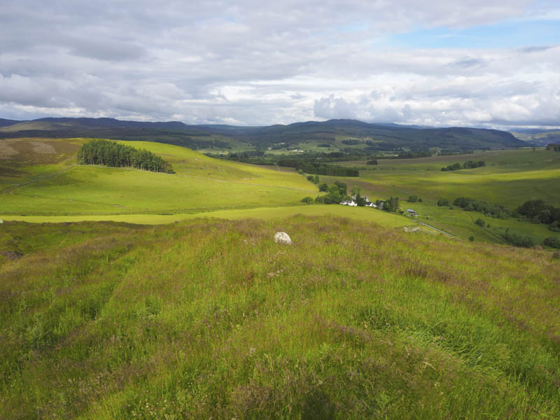
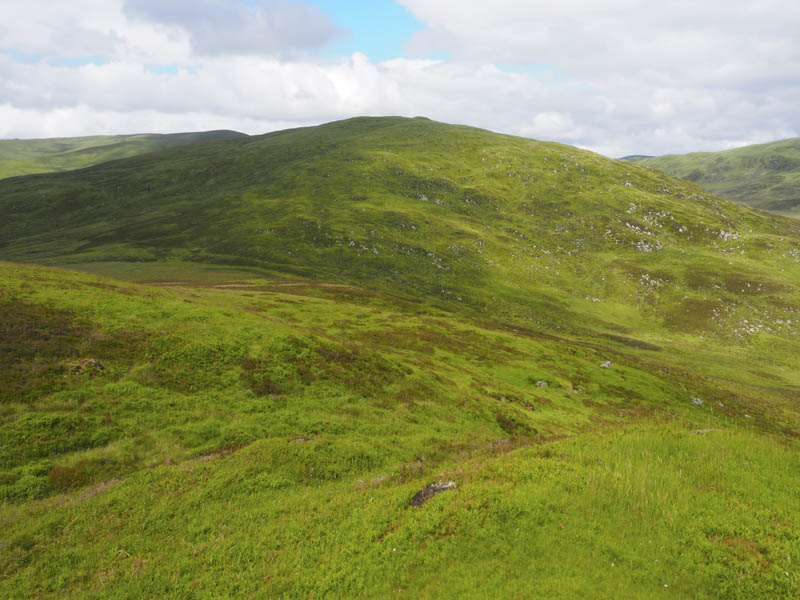
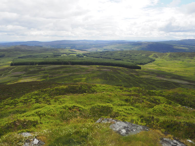
To the south of this summit were old quarry workings so I followed a vehicle track west through the long grass passing a shooting range within the west most quarry. I briefly joined a more obvious vehicle track before passing through a stock gate and commencing the ascent of Cnoc Eirionnaich Far North Top. A few animal trails were followed and I was soon approaching its east face consisting of some small crags which were easily by-passed to gain the summit of this Tump. Either an erratic or an area of heather marked the highest point, I couldn’t say which.
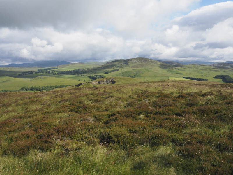
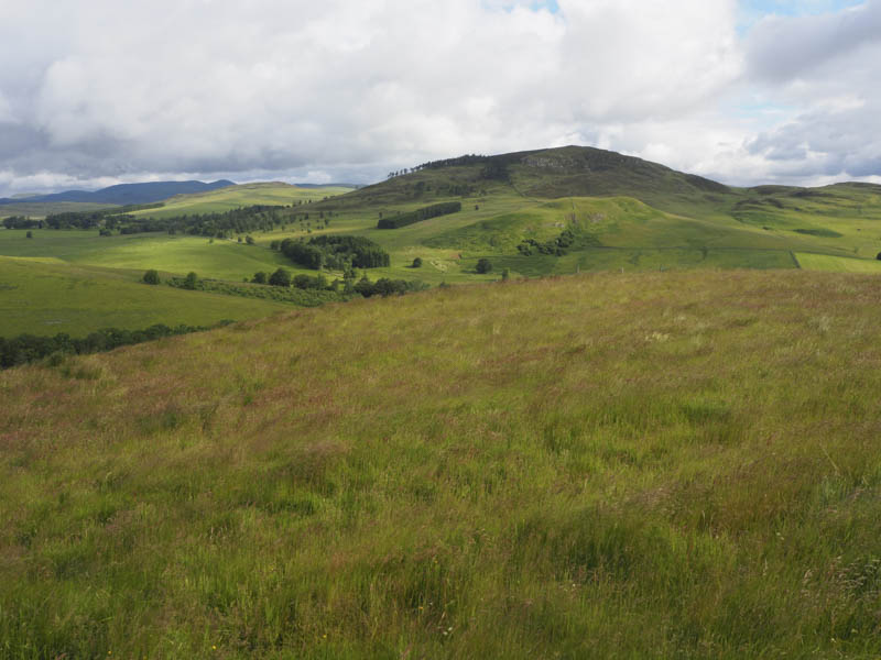
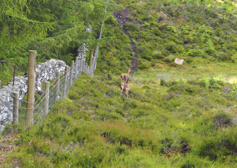
The descent south-east was through grass and heather to some wet ground then through an old stone dyke, there were several in the area, before ascending Cnoc Eirionnaich North Top, disturbing some deer and there young. The summit of this Tump was an outcrop.
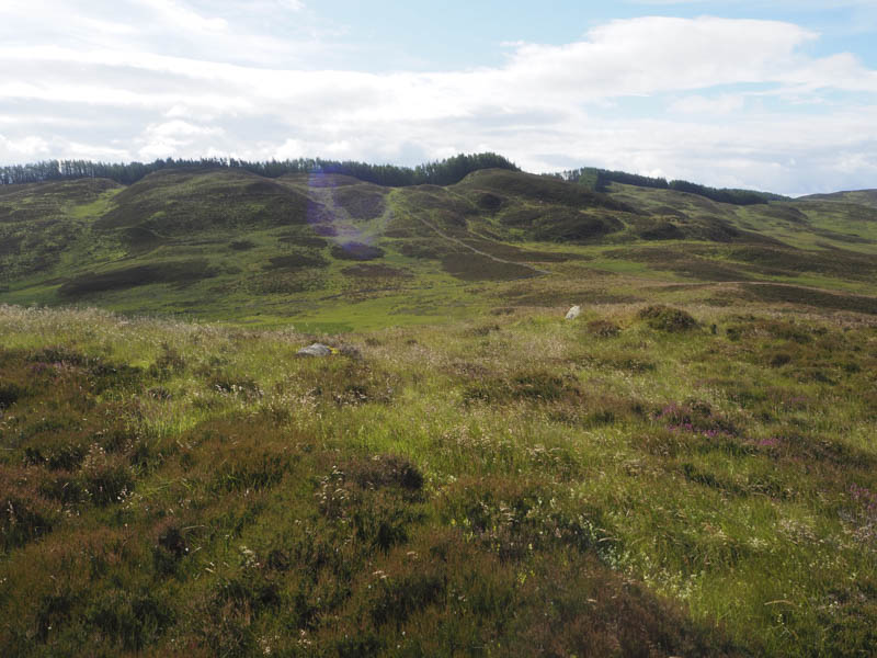
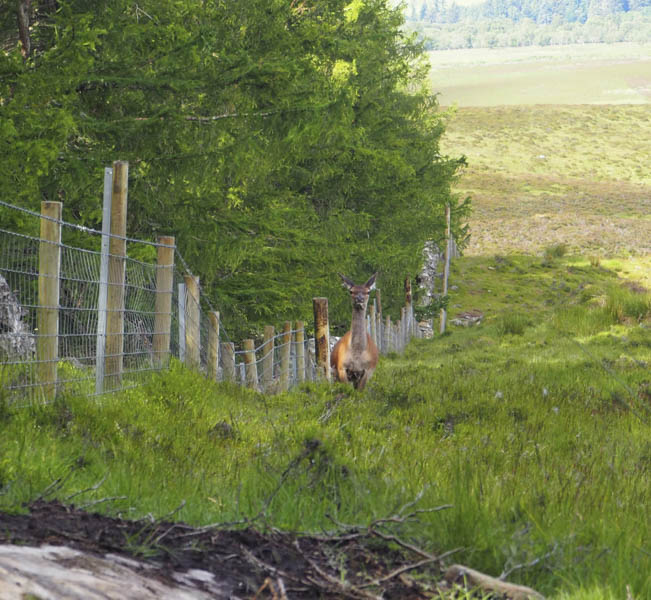
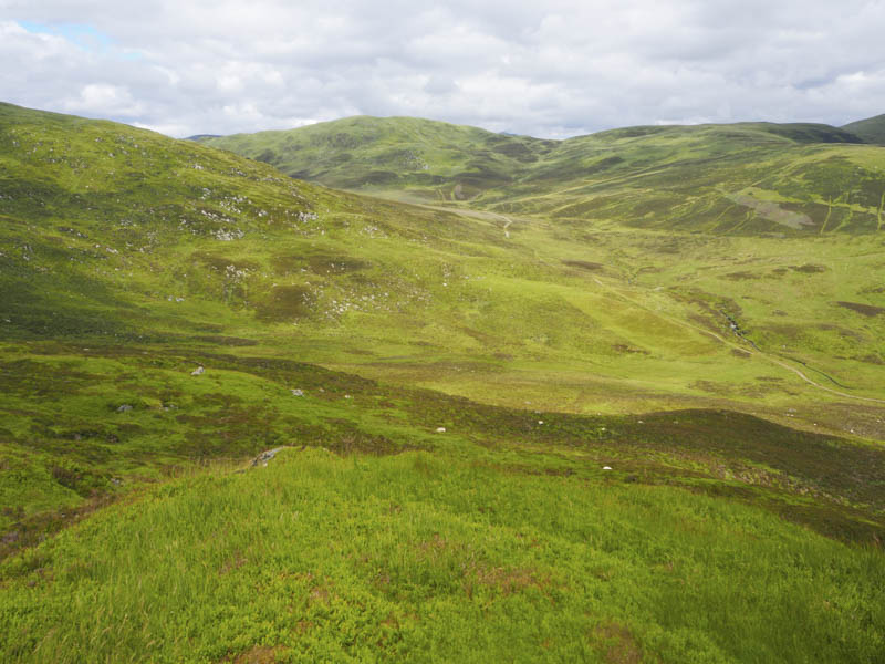
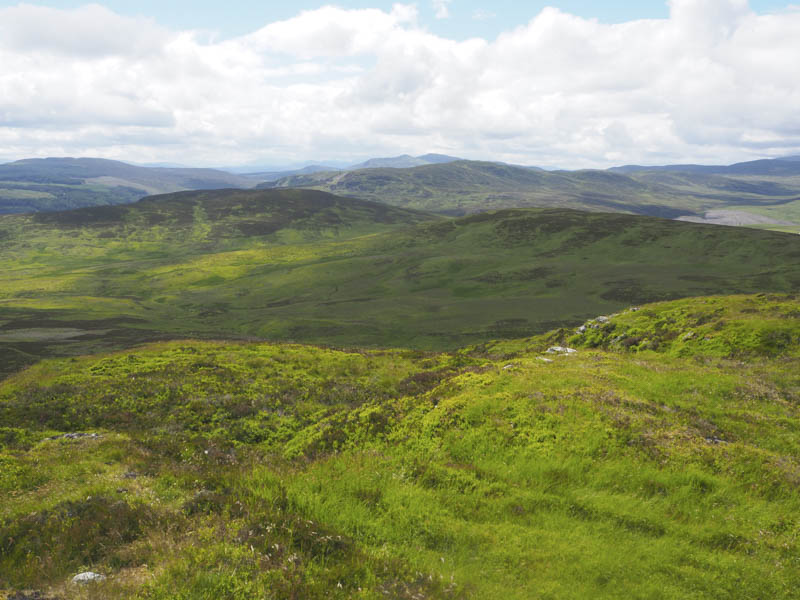
I followed the edge of the forest descending south-west then south, not losing too much height, there were some boggy sections, before continuing in a southerly direction as I ascended the Tump, Cnoc Eirionnaich. The highest point was beside an old stone dyke but a stock fence with woven wire had recently been constructed around the forest so it meant crossing this fence to reach the actual summit.
While taking a coffee break here I heard a couple of deer calves bleating for their mother as they searched for a way into the forest but were too young to leap the fence and it was impossible to pass through it due to the woven wire. They came closer to me then ran off but the mother later appeared searching for her young. She did locate one and seemed still to be looking for another although apparently it is unusual for red deer to have twins. I later lost sight of them.
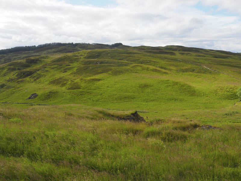
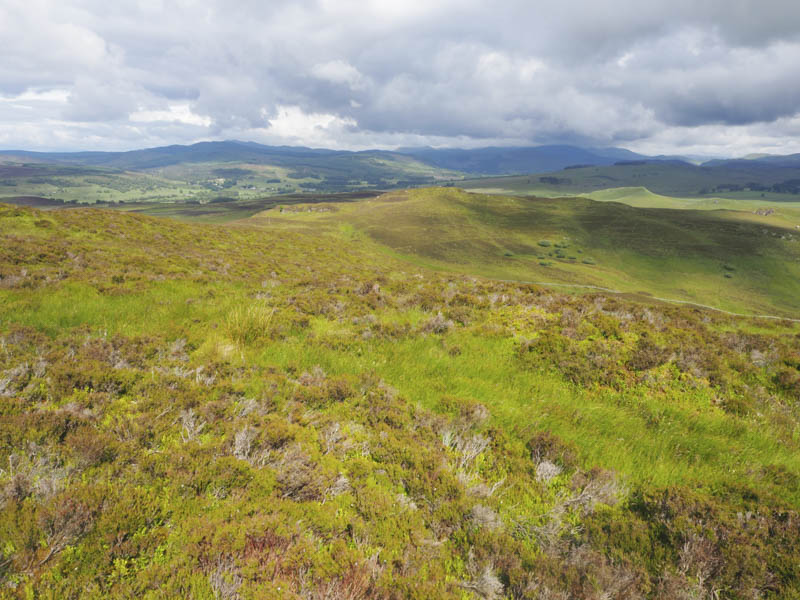
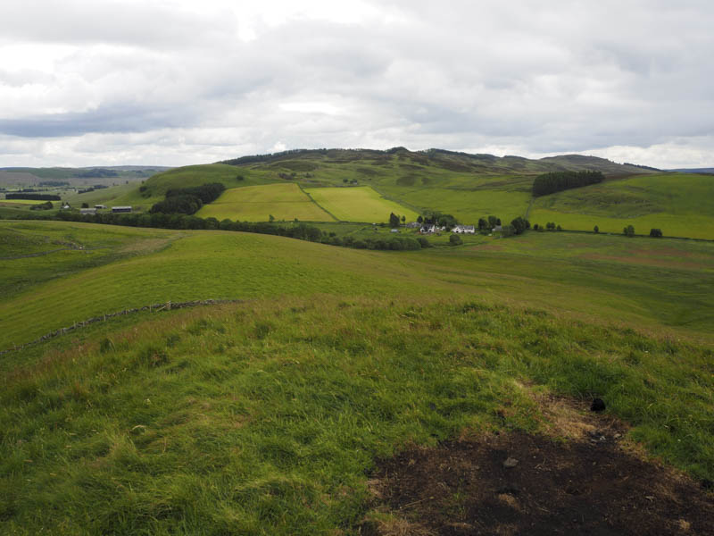
I returned along the edge of the fence then to the west of the North Top and Far North Top. There were fewer animal trails to follow and more rough vegetation to negotiate as I headed to and joined the vehicle track on the south side of the An Dun quarry. This track led to the B950 beside the houses at Wester Dunidea.
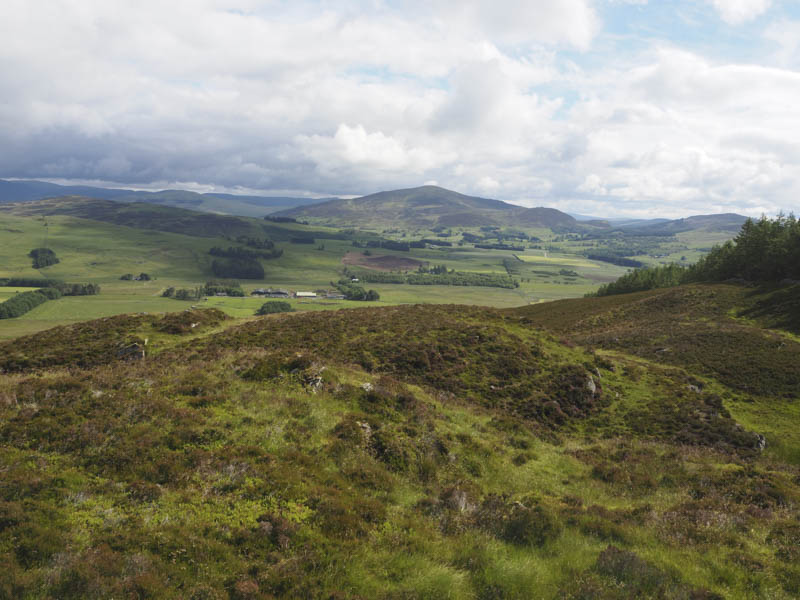
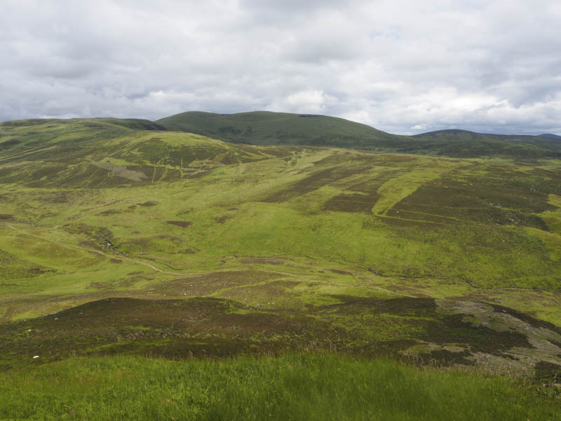
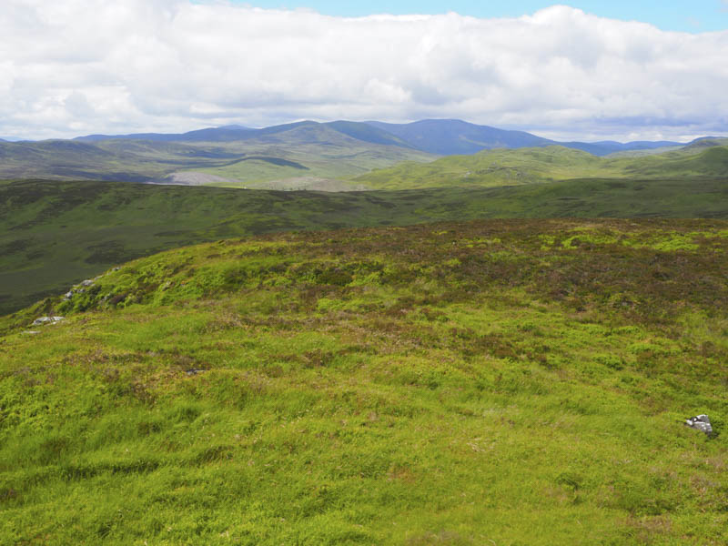
After a short road walk east I dropped down to an area at the side of a garden plot and to a gate in a stock fence disturbing several roe deer in the long vegetation ahead. Beyond this gate the area was mainly flat with very rough vegetation, wet ground, a ditch then later a stock fence to cross. This led to an easy climb through some rough grazing towards Milton Knowe. Another stock fence was crossed before a short steep climb took me onto the grassy summit of this Tump.
The descent east was through a couple of stock gates and fields and along a farm track to the access road for Ashintully Castle a short distance from the A950 and my car.
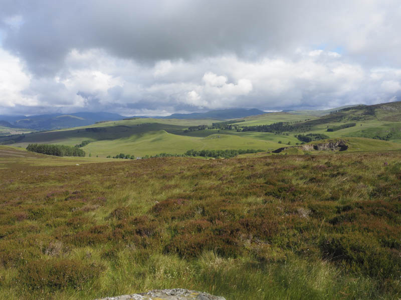
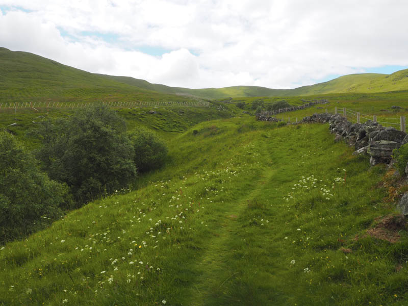
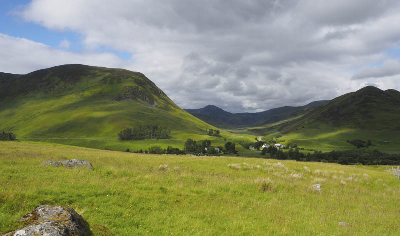
Elrig – I parked beside the fire damaged hotel at the Spittal of Glenshee, west of the A93 Braemar to Blairgowrie Road, and walked the short distance north-west to the Cateran Trail, a circular walk of the glens of Perthshire and Angus. On passing through a pedestrian gate I joined the path on the north-west side of a burn later passing through a second gate as I headed towards Coire Lairige.
Once through this coire the gradient increased slightly before I reached the bealach and a third gate at An Lairig, at just under the 650 metre mark, higher than my destination hill.
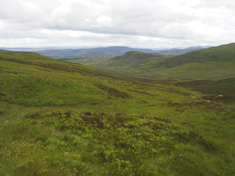
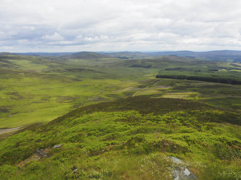
I descended south-west, still on the Cateran Trail, where sheep and lambs were grazing. Lower down I joined a vehicle track, part of the Cateran Trail, and after losing around 150 metres and just before the shooter’s hut, known as the Upper Lunch Hut, I left the track. I followed sheep trails then it was through rough vegetation as I worked my way towards the col between Creag Bhreac and Elrig. Prior to reaching this col I ascended the Tump, Elrig, where an outcrop beside the cairn marked its highpoint at 588 metres.
A more direct descent north-east took me back to the vehicle track on the Cateran Trail and to south of the Upper Lunch Hut. I made a quick visit to this hut as it was unlocked with a sign welcoming walkers to take shelter. Thereafter I returned to the Spittal of Glenshee by the approach route which involved another 150 metres of ascent.
- Total time taken – 7 hours.
- Total distance – 19.25 kilometres.
- Total height climbed – 1025 metres.