I left my car in the lay-by on the south side of the A830 Glenfinnan to Mallaig Road just west of the bridge over the Allt an Utha and walked back across the bridge to the vehicle track on the east side of this stream.
![Start of route to Sgurr an Utha](https://scotlandhills.net/wp-content/uploads/2020/07/01-Start-of-route-to-Sgurr-an-Utha.jpg)
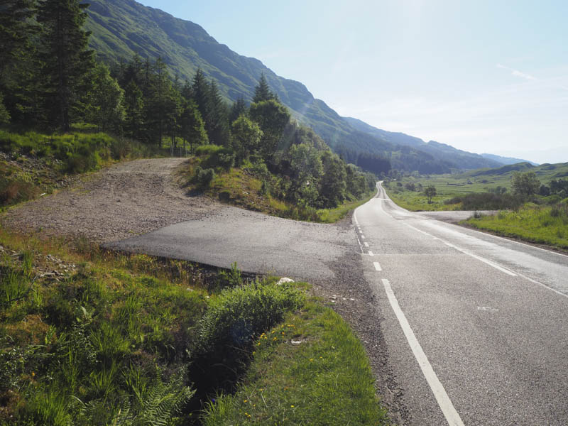
I headed north up the track which took me through the trees and onto the open hillside where it was rather warm.
Immediately before the Allt Feith a’ Chatha and the Allt an Utha merged a track, not marked on my map but has existed for many years, rose fairly steeply east well above the Allt an Utha.
![Track above Allt an Utha](https://scotlandhills.net/wp-content/uploads/2020/07/02-Track-above-Allt-an-Utha.jpg)
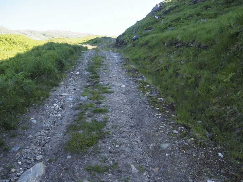
The occasional shady sections on this track caused by the high embankments were a welcome break from the heat of the sun.
![Sgurr an Utha](https://scotlandhills.net/wp-content/uploads/2020/07/03-Sgurr-an-Utha.jpg)
![Sgurr a' Mhuidhe and Glas-charn](https://scotlandhills.net/wp-content/uploads/2020/07/04-Sgurr-a-Mhuidhe-and-Glas-charn.jpg)
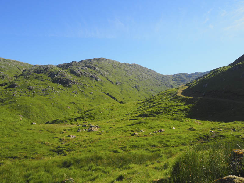
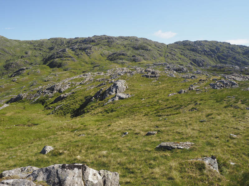
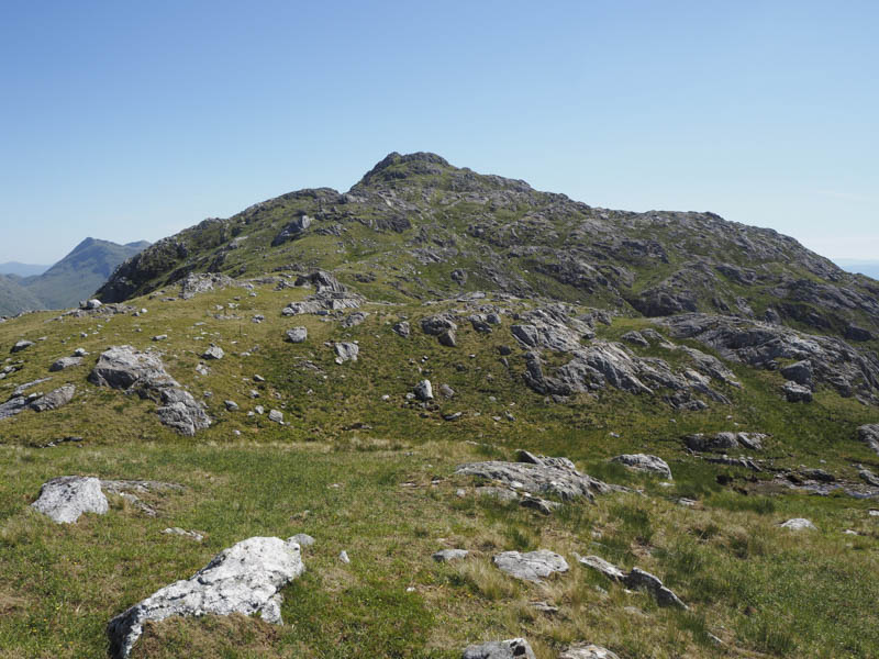
Higher up the vehicle track took a right turn, south, and came to an end above Druim na Brein-choille. I headed onto Fraoch-bheinn’s south-west ridge where there was a path through the vegetation although I later lost its line and made my way through some rocky outcrops to the summit of this Corbett Top where thankfully there was a light breeze.
![Route onto Fraoch-bheinn](https://scotlandhills.net/wp-content/uploads/2020/07/05-Route-onto-Fraoch-bheinn.jpg)
![Sgurr Thuilm and Streap](https://scotlandhills.net/wp-content/uploads/2020/07/07-Sgurr-Thuilm-and-Streap.jpg)
![Beinn an Tuim and Loch Eil](https://scotlandhills.net/wp-content/uploads/2020/07/08-Beinn-an-Tuim-and-Loch-Eil.jpg)
![Loch Shiel, Sgorr Craobh a' Chaorainn and Sgurr Ghiubhsachain](https://scotlandhills.net/wp-content/uploads/2020/07/09-Loch-Shiel-Sgorr-Craobh-a-Chaorainn-and-Sgurr-Ghiubhsachain.jpg)
![Beinn Odhar Mhor, Beinn Mhic Cedidh and Rois-Bheinn Group of Corbetts](https://scotlandhills.net/wp-content/uploads/2020/07/10-Beinn-Odhar-Mhor-Beinn-Mhic-Cedidh-and-Rois-Bheinn-Group-of-Corbetts.jpg)
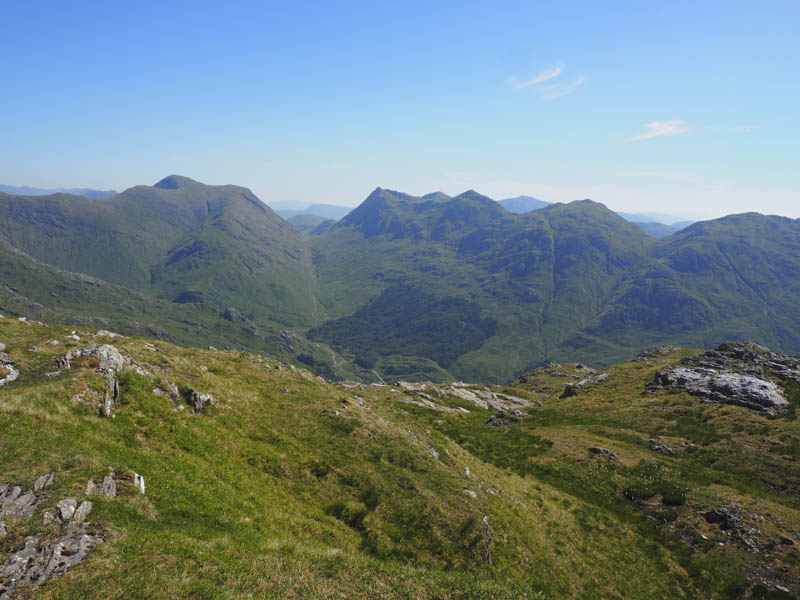
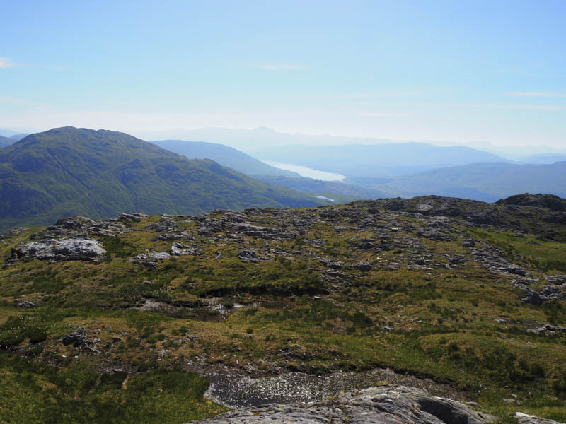
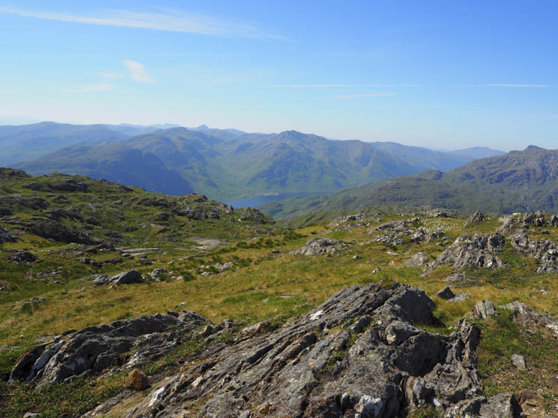
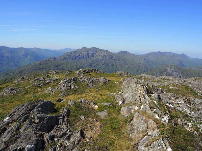
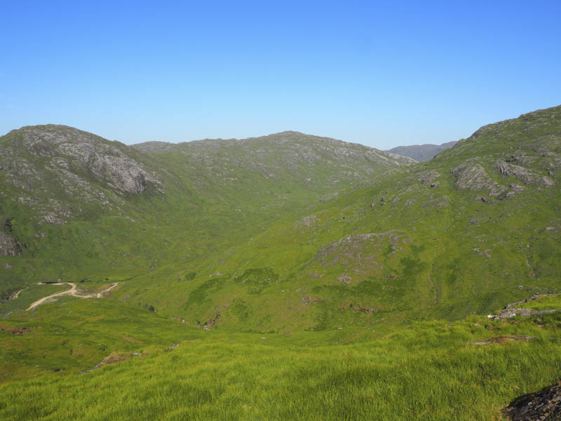
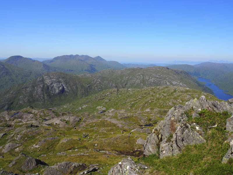
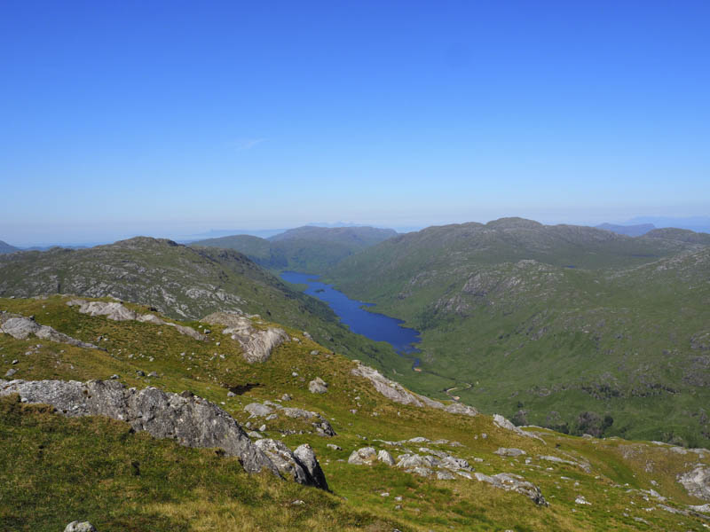
From there I headed through some rocks for the short descent to the col with the Corbett, Sgurr an Utha, before climbing to its summit cairn where I had good views including towards Knoydart and the Small Isles.
![Route to Sgurr an Utha from Fraoch-bheinn](https://scotlandhills.net/wp-content/uploads/2020/07/06-Route-to-Sgurr-an-Utha-from-Fraoch-bheinn.jpg)
![Meith Bheinn left with Isle of Skye in the distance](https://scotlandhills.net/wp-content/uploads/2020/07/11-Meith-Bheinn-left-with-Isle-of-Skye-in-the-distance.jpg)
![Sgurr an Fhuarain Duibh. Sgurr nan Coireachan and Sgurr Thuilm beyond](https://scotlandhills.net/wp-content/uploads/2020/07/12-Sgurr-an-Fhuarain-Duibh.-Sgurr-nan-Coireachan-and-Sgurr-Thuilm-beyond.jpg)
![Glas-charn. Rois-Bheinn Group beyond](https://scotlandhills.net/wp-content/uploads/2020/07/13-Glas-charn.-Rois-Bheinn-Group-beyond.jpg)
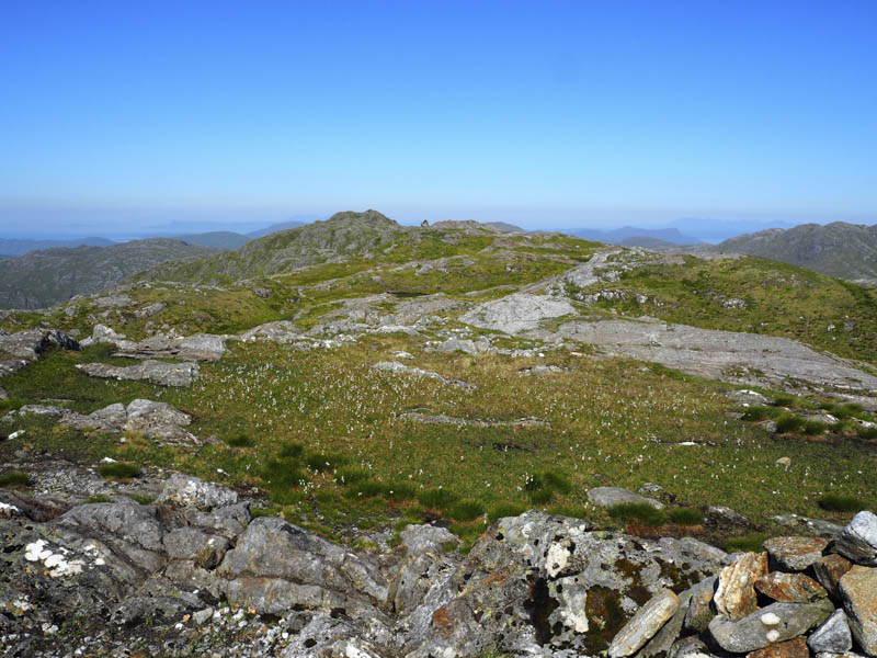
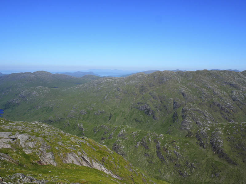
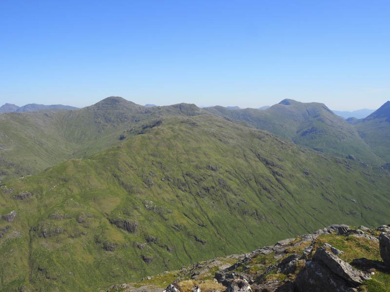
After an extended break here I descended west through more rocks then it was onto Sidhean Mor where a change of direction took me down its south ridge.
![Glas-charn, Loch Beoraid and Meith Bheinn then out to the Isles of Eigg and Rum](https://scotlandhills.net/wp-content/uploads/2020/07/14-Glas-charn-Loch-Beoraid-and-Meith-Bheinn-then-out-to-the-Isles-of-Eigg-and-Rum.jpg)
![Route off Sgurr an Utha](https://scotlandhills.net/wp-content/uploads/2020/07/15-Route-off-Sgurr-an-Utha.jpg)
This route was easy enough until just before reaching the vehicle tracks beside the new mini hydro dam where long vegetation and rocks made things difficult. Once on the tracks it was a short walk to the new bridge over the Allt Feith a’ Chatha and onto the point where I left the track then the outward route to the start.
- Time taken – 4.5 hours.
- Distance – 10 kilometres.
- Height climbed – 810 metres.