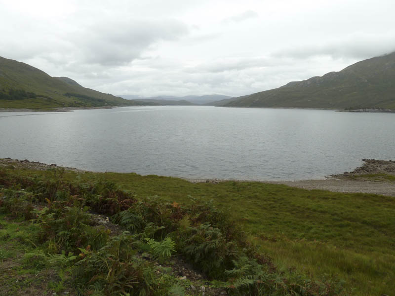
I drove west on the single track road along the north shore of Loch Garry then Loch Quoich, accessed from the A87 Invergarry to Bun Loyne Road. I parked on the south side of this road, south-west of the bridge over the northern extension of Loch Quoich, and opposite a metal post indicating the start of the stalker’s path up Sgurr a’ Mhaoraich. There was space here for a few vehicles.
Once geared up I crossed the road onto the stalker’s path. Although it was in good condition the long vegetation at the edges was wet. The path led under the pylon lines and zigzagged onto the Bac nan Canaichean Ridge.
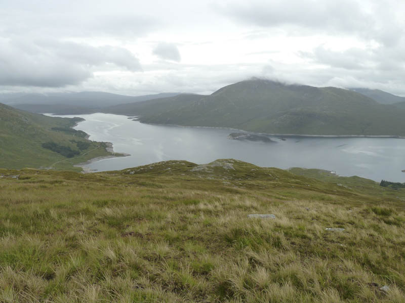
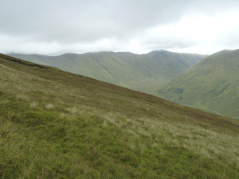
Cloud which had been covering the tops lowered and I was soon engulfed by it. The path took me to just west of Sgurr Coire nan Eiricheallach and I took a slight diversion to include the summit of this Corbett Top.
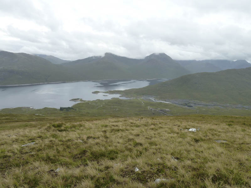
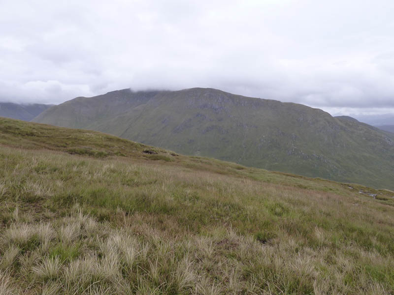
I returned to the path and after a slight descent went over Sgurr Coire nan Eiricheallach East Top, a Sub Simm, with a slight diversion to locate a couple of potentials for its highest point. The path then dropped west, crossed an old stone dyke on three occasions, then headed for Sgurr a’ Mhaoraich. The ridge narrowed and steepened but the path avoided any difficulties. The cairn marking the summit of this Munro was reached and here I stopped for a bite to eat but there were no views due to the low cloud.
The return was by the upward route avoiding the two minor tops. Not far off the summit, as the cloud began to lift, I heard and spotted a feral goat.
- Time taken – 4.5 hours.
- Distance – 10.5 kilometres.
- Height climbed – 1015 metres.