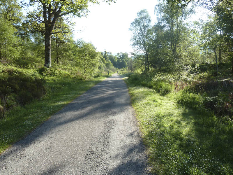
I left my car in the car park at Ariundle, north of the village of Strontian in Sunart, then, accompanied by three friends, set off along the vehicle track through Ariundle Oakwoods.
Around 45 minutes later we reached a double set of gates, the first being a deer gate while the other was a locked stock gate with a side gate for walkers.
Beyond these gates the track split. We took the left fork and the now path became rather eroded and led to a small gate and footbridge, both in poor condition. Here we emerged from the forest then continued along the path to old lead mines where we crossed some stony ground. A rough path, also used by animals, led to the crossing of the Allt Feith Dhomhnuill. The path up the east side of this stream soon disappeared amongst the vegetation.
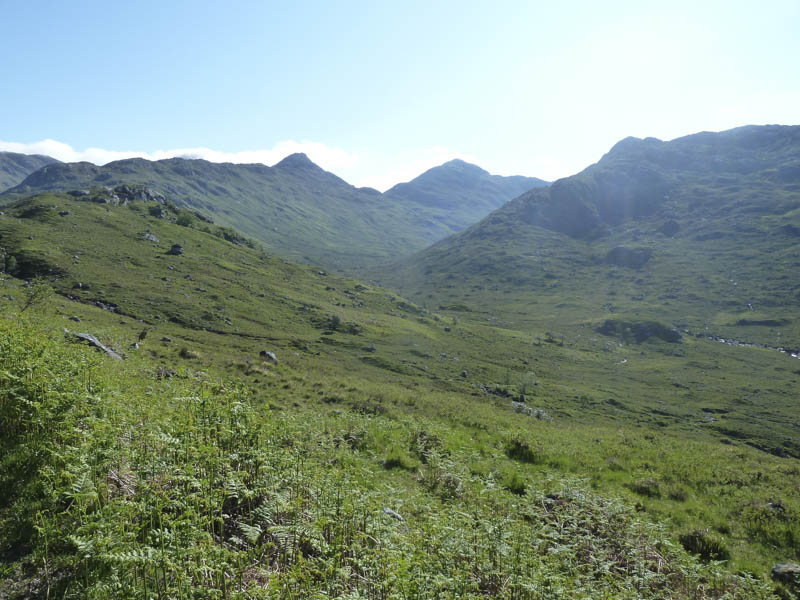
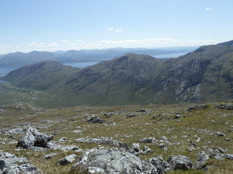
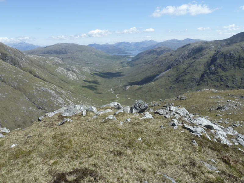
From here we climbed onto the undulating Druim Leac a’ Sgiathain Ridge.
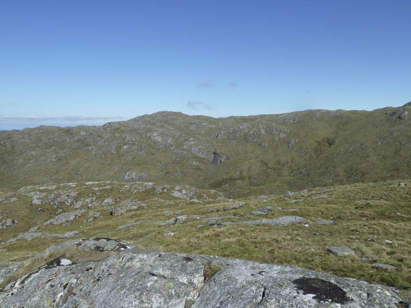
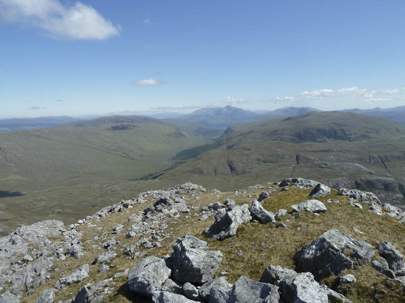
Beyond the small lochan we worked our way below the rocks and crags on the south side of Sgurr na h-Ighinn to reach Bealach Mam a’ Bhearna. We then ascended the Graham, Sgurr a’ Chaorainn, the highest point being a boulder one metre south-west of the cairn.
My walking companions returned to Ariundle while I descended north-east to the col with Beinn na h-Uamha then climbed this Corbett, the highest point marked by a cairn.
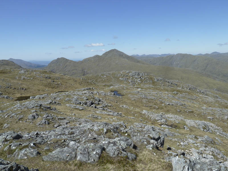
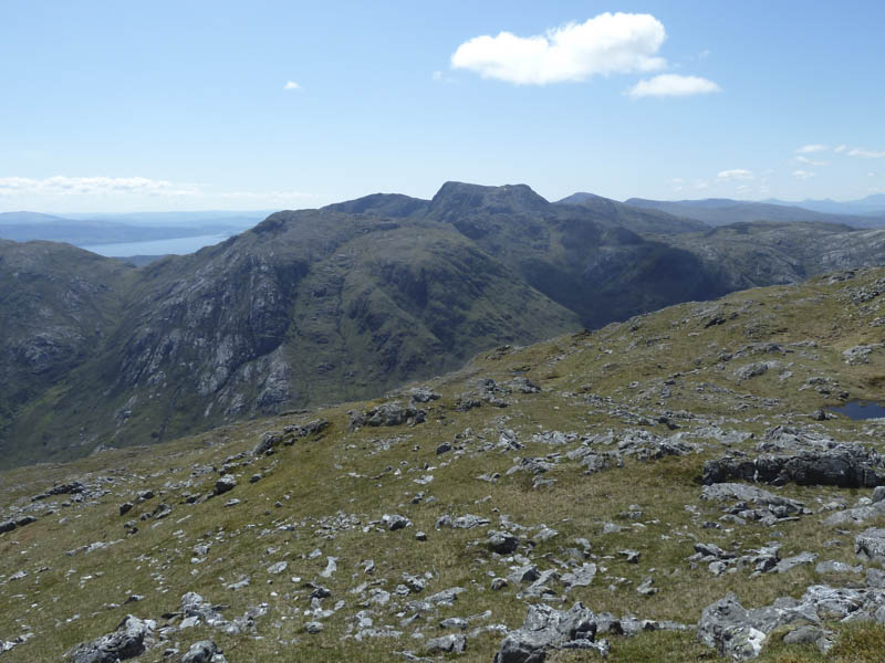
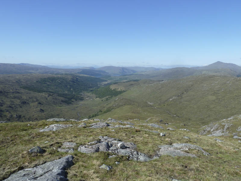
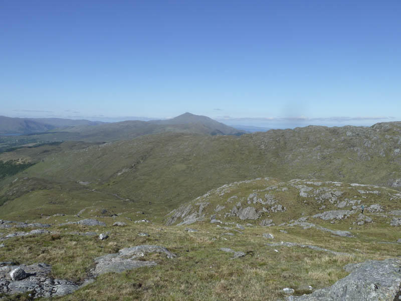
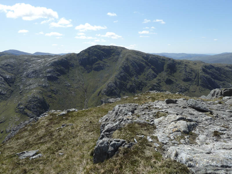
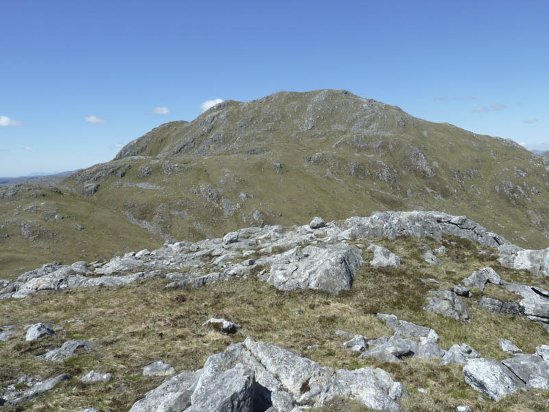
I thereafter returned to the col with Sgurr a’ Chaorainn, climbed part way up this hill, then worked my way south-west below Sgurr a’ Chaorainn gaining a bit more height.
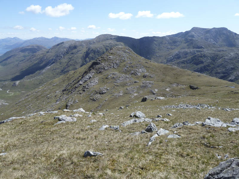
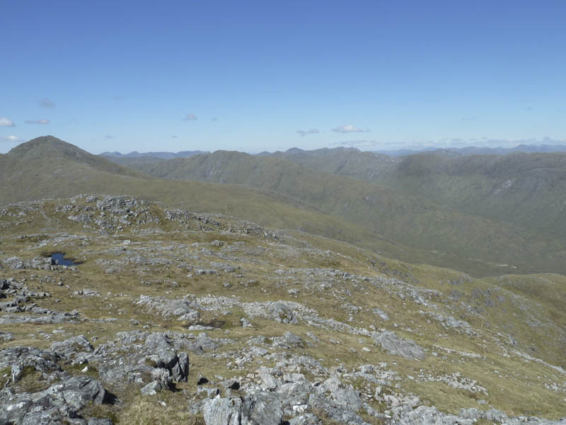
Thereafter I descended to the col with Sgurr na Laire followed by a short climb to the cairn marking the summit of this Graham Top.
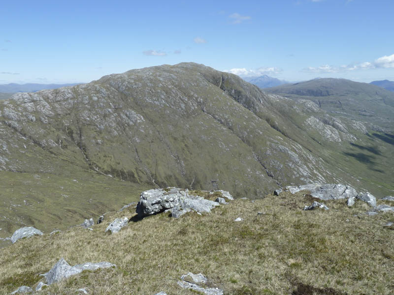
I returned to the col then worked my way north-west, gaining a bit of height, to reach the obvious gully. I descended steeply to the south of this gully encountering a few awkward moves but eventually I reached a rough path on the north side of the Strontian River. This path was rather intermittent as there were lots of bog but would have been worse if it hadn’t been for the recent dry spell of weather.
Eventually I reached the ruin at Ceann a’ Chreagain then followed the track to and through Ariundle Oakwoods to re-join my friends at the Ariundle Centre. They only arrived there around 45 minutes before me as they had taken a few breaks.
- Time taken – 8.5 hours.
- Distance – 23.25 kilometres.
- Height climbed – 1345 metres.