Beinn an Lochain West Top and Beinn an Lochain – On Christmas Day I headed for the Scotsburn area of Easter Ross then onto the minor road that ran between Tain and Alness parking in the small car park east of Dalnaclach. From there I walked west along a path on the south side of Scotsburn Wood signposted to Strath Rory.
Immediately after passing through a second pedestrian gate I left the Strath Rory route and went right, north, on a rising fairly well used path through the trees. On reaching a forest track there were signs indicating that I had been on the John O’Groats Trail which then continued in a south-easterly direction. I left this route and walked west along the edge of a stock fence, topped with barbed wire, before crossing it then a stock gate which took me into some wet ground with a few snow patches.
To avoid most of this boggy ground I walked north later turning west through the well spaced trees and longish heather avoiding several fallen trees. The summit of the Tump, Beinn an Lochain West Top, located within the woodland, was reached then I visited the alternative highpoint to the north.
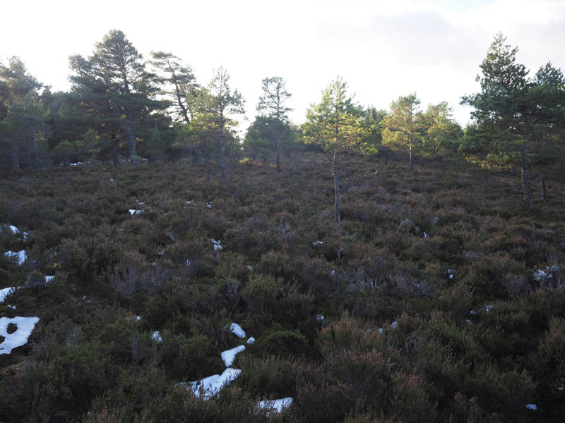
From there I descended east through the trees and longish vegetation as well as some more wet ground with snow patches. I then climbed Beinn an Lochain crossing a path then the gradient increased before I reached the summit of this Tump, also known as Beinn a’ Chlaidheimh, which was amongst the trees.
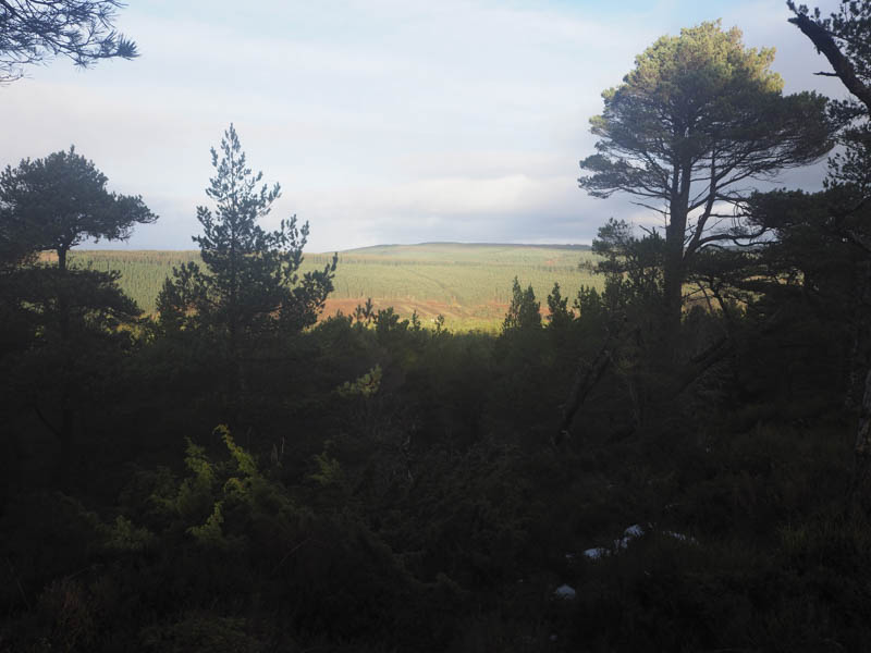
A descent north took me to the path I crossed earlier and I followed it north-east. It was a bit wet and boggy in sections and emerged onto a forest track going south. Lower down I re-joined the John O’Groats Trail, the forest track heading south-east, which was taking me away from my starting point. When I later spotted a little used path going south I followed it through long vegetation and well spaced trees. I actually ended up in someone’s back garden but there was no boundary fence so I passed through their grounds and onto the Tain to Alness Road. It was then a short road walk west to my car.
Hill of Tain – After climbing the Beinn an Lochains in Scotsburn I headed for the A9 Tain Bypass then west up Quarry Road, passing several folks out for their Christmas Day walk, the road coming to an end at a car park beside the old quarry. I then followed the Pulpit Rock path through the woodland in an anti-clockwise direction.
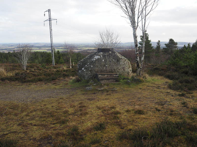
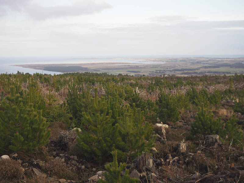
After visiting the rock I walked briefly north on a forest track then an old works vehicle track west into Morangie Forest where the trees and had been harvested and new ones planted.
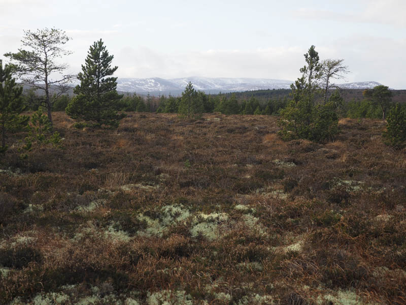
The vegetation on this track was beginning to re-establish itself so may not be so obvious in years to come especially as the trees grow. The track came to an end near the edge of the harvested area and around 100 metres from the summit of Hill of Tain. I then walked through heather and moss to a wee mound, apparently being the highest point of this Tump.
The return was by the upward route.
- Total time taken – 4.25 hours.
- Total distance – 11 kilometres.
- Total height climbed – 300 metres.