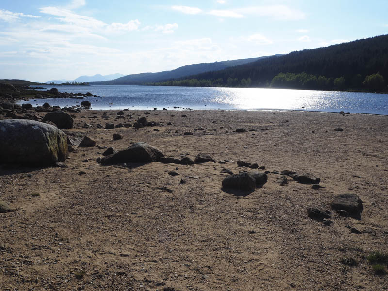
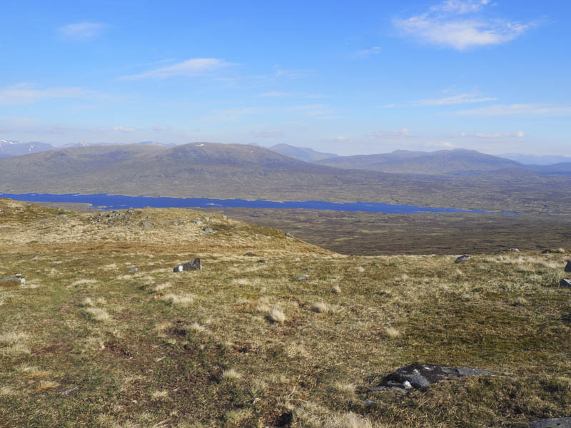
After camping on the sand at the east end of Dubh Lochan, an extension of Loch Laidon, just to the west of Rannoch Station and the B846 road end, we returned to the vehicle track on the north side of the lochs and walked west through the forest gradually gaining some height.
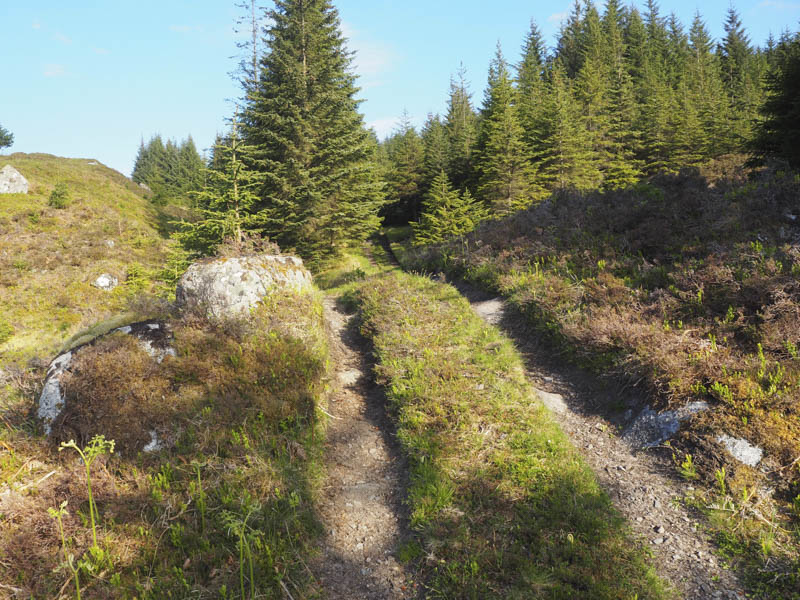
Just beyond its highest point we came across an ATV track that headed through a gap in the trees. Initially it was quite a steep climb but the gradient eased a bit before we emerged onto the open hillside.
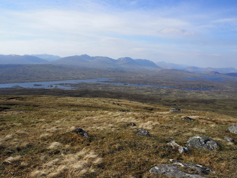
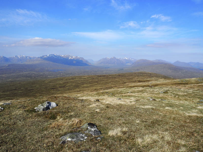
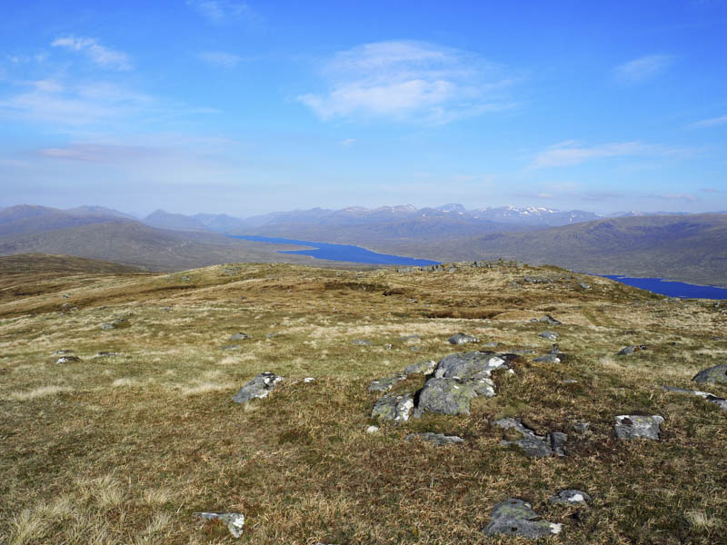
The route continued uphill across what would normally be wet and boggy ground but was mainly dry after a spell of fine weather. Wood had been laid at a number of locations to assist the ATV’s progress across the hillside.
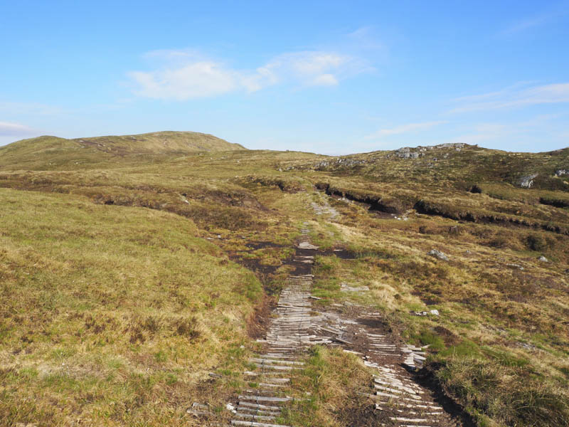
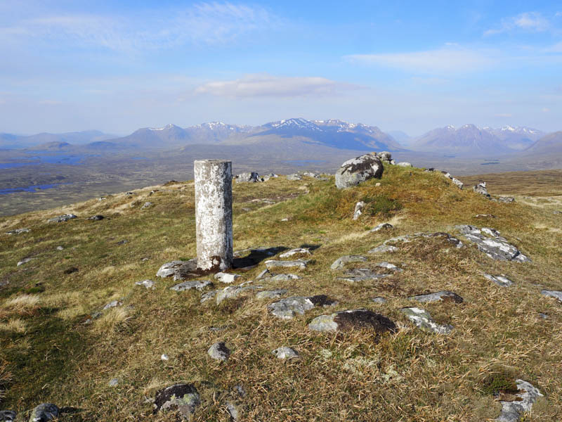
Some of the wood was new and a plank of wood with handrail had been recently installed to allow walkers to cross an area of bog. The track wound its way west passed some old fence posts and onto the south-east ridge of Stob na Cruaiche and to its trig point and boulder marking the summit of this Graham.
The return was by the ascent route.
- Time taken 4.5 hours.
- Distance – 14 kilometres.
- Height climbed – 530 metres.