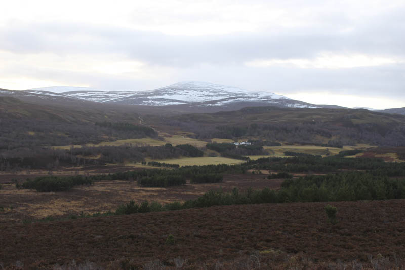
Creagan a’ Choin and Ordan Shios – I parked at the south side of the B9150 Ralia to Newtonmore Road just north of its junction with the A9 Inverness to Perth Road and made the short walk to the A9 which was easily crossed as traffic was light on this Saturday morning. The crossing would be a bit risky at busy times.
A descent on a tarred section of track led to an open gate then the track shown on my map was blocked by fallen trees. However there were a couple of alternative tracks so I chose one later leaving it and crossing rough grass, easy going, before rejoining the mapped track which I followed south to a gate in a deer fence. (NN70749638)
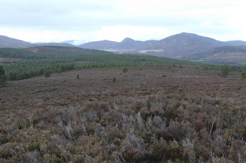
The track continued through an area of recently planted trees and at a junction (NN70769613) I walked along a less obvious track to a pedestrian gate in another deer fence.
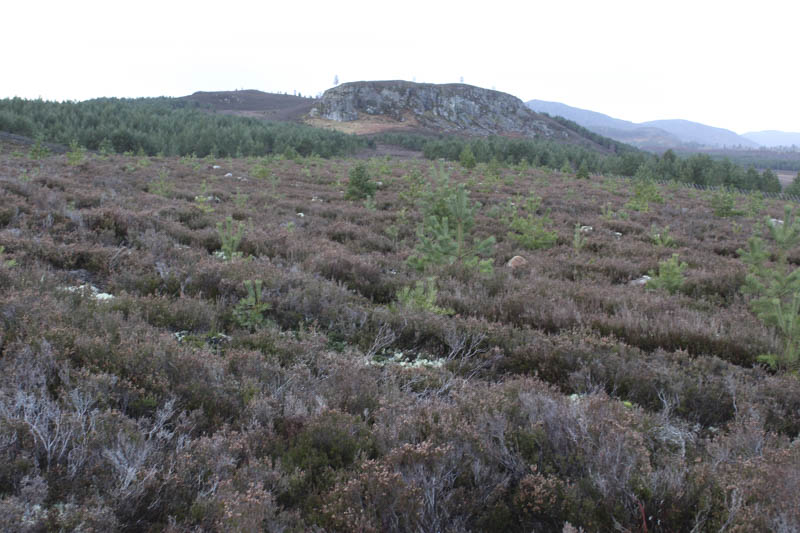
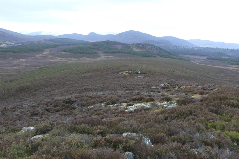
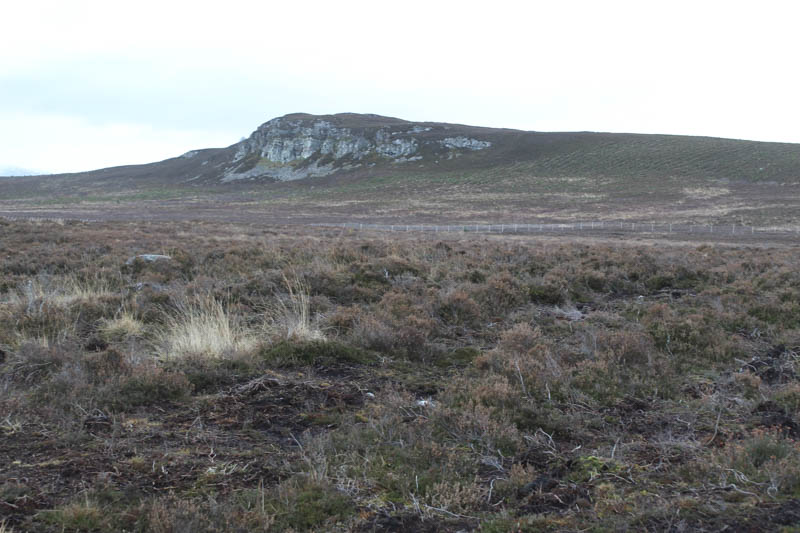
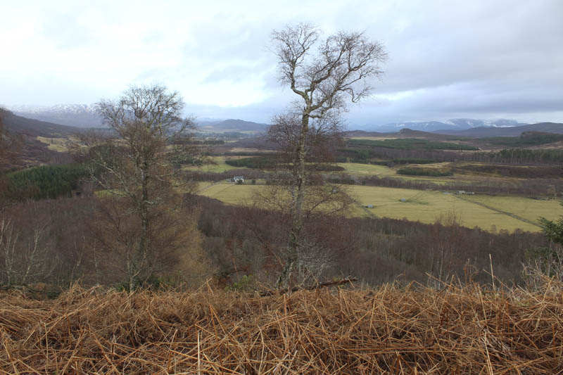
This took me into a slightly older woodland where the trees were well enough spaced with knee deep heather and some fallen trees but no real difficulties. Later a slight increase in gradient led to the summit of the Tump, Creagan a’ Choin, which was just some heather in an area clear of trees.
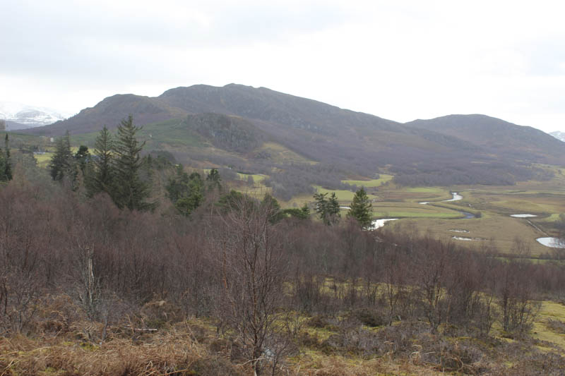
I returned to the track junction and walked east then north-east along this other track passing through the newly planted trees. The track later became overgrown and less obvious so I left it and climbed through the trees and long vegetation, using at times the drainage channels which made progress a bit easier. This took me onto the south-west ridge of Ordan Shios followed by a short walk through long heather to the summit of this Tump, marked by a cairn.
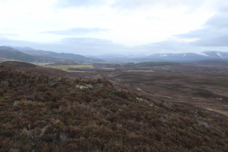
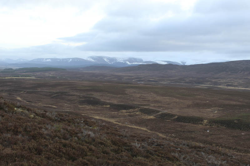
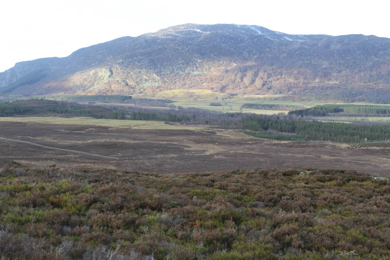
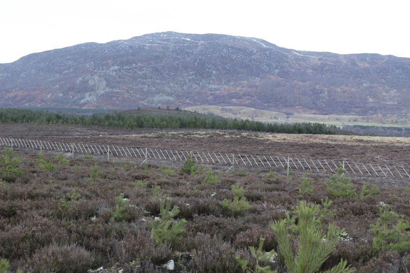
After a break here and to avoid the steep rocky north face I briefly returned along the south-west ridge then it was a descent through the new trees, long vegetation and across the numerous drainage channels which was awkward and made for slow progress. This took me to the corner of a deer fence and once across it the going was easier with the boggy sections mostly frozen. This led to the vehicle tracks on the south side of the A9 which was still quiet making for a quick crossing.
- Time taken – 2hours 30mins.
- Distance – 6 kilometres.
- Height climbed – 165 metres.
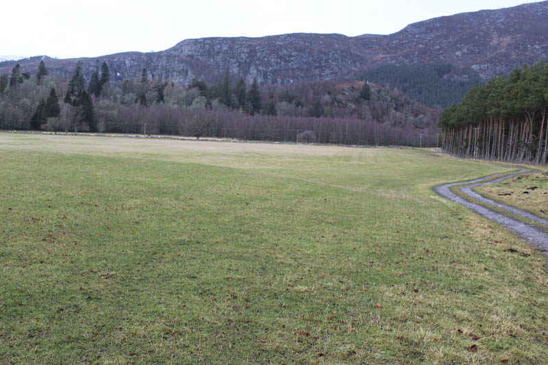
Torr na Truime – A minor road, on the south side of the River Spey, links the A9 Inverness to Perth Road with the A889 Dalwhinnie to Laggan Road. I parked at the side of this road, south of the Glentruim Caravan Park, crossed the road and entered a field via an open gate. I walked north-west on a vehicle track passing through a couple of fields, one containing sheep.
Immediately beyond a third stock gate I left this track and walked west along the edge of a barbed wire topped stock fence to an area which would normally be boggy but on this visit was frozen. I then climbed through well spaced trees; a few had been cut down, crossed a rough vehicle track, and onto the summit of the Tump, Torr na Truime, marked by a rock. Nearby was a mini telecom tower constructed using scaffolding poles, hence the reason for the vehicle track crossed a few minutes earlier.
I then returned by the upward route.
- Time taken – 50 mins.
- Distance – 2.5 kilometres.
- Height climbed – 80 metres.
Creagan Braugach – I drove back to Ralia and along the minor road on the north-west side of the A9 Inverness to Perth Road. A sign indicated that it wasn’t a through route but this wasn’t the case. I parked at the east end of the road, on some gravel beside the cattle grid, then passed through a stock gate and walked along the edge of a stock fence with several undulations. I spotted the cattle and as I got closer realised there were feeding from a trough beside and on my side of the fence.
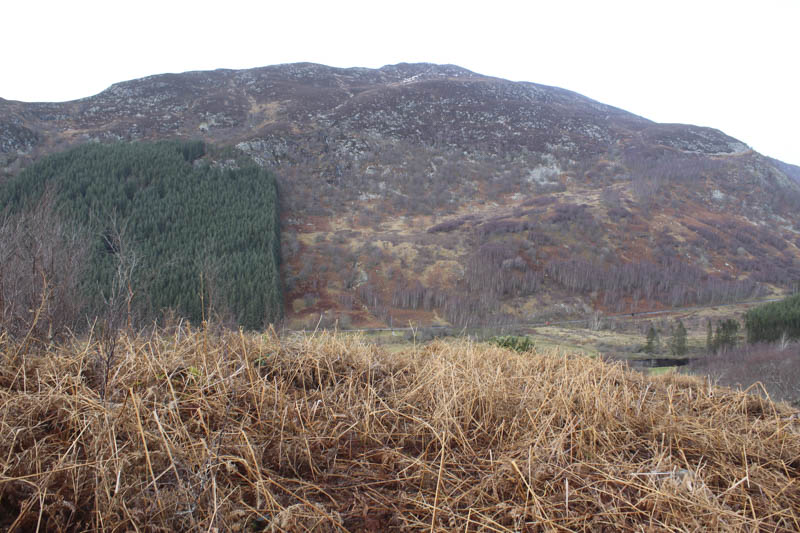
I crossed the fence then further on entered a woodland where the trees were well spaced then into an enclosure where game birds were reared. Being out of season the gate was open and sections of the wire fencing were rolled up. The highpoint of the Tump, Creagan Braugach, was within the enclosure and near an old stone dyke.
The return was by the approach route with a stop for lunch before leaving the woodland.
- Time taken – 1 hours.
- Distance – 2 kilometres.
- Height climbed 35 metres.