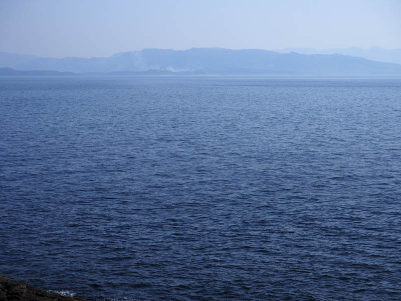
Back in 2012 I ascended the Marilyn, Sgurr nan Caorach, located at the south end off the Sleat peninsula, and regretted that I had insufficient time to visit the most southerly point on the Isle of Skye, The Point of Sleat. I was therefore back to rectify this and take in some of its surrounding Tumps.
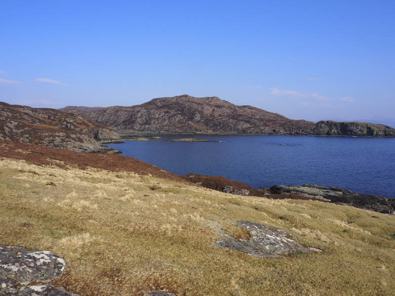
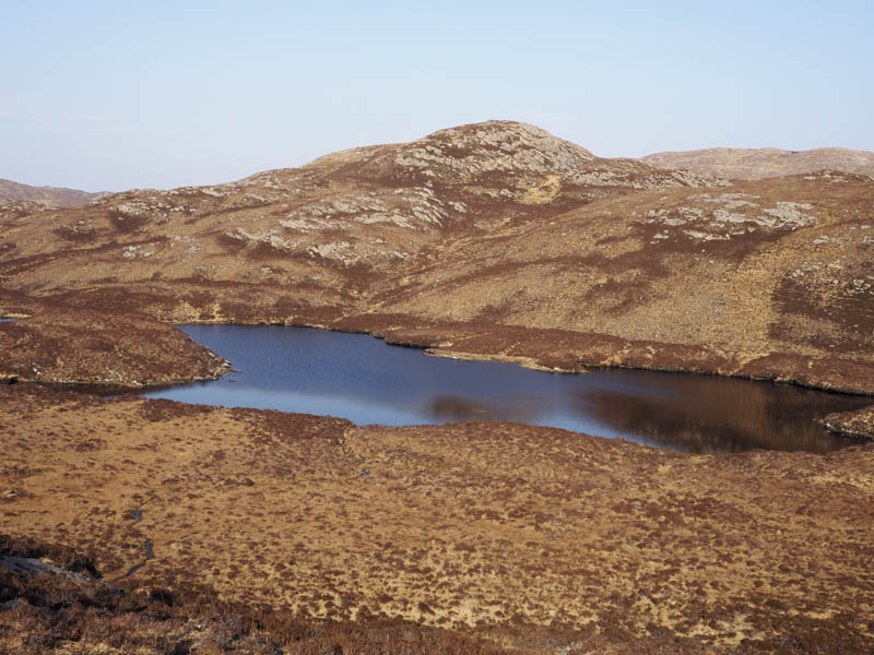
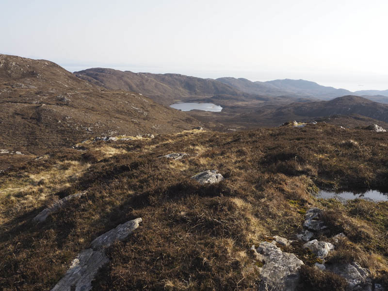
I left my vehicle in the car park at the end of the public road at the Ard of Sleat, passed through a closed gate, and walked west along a vehicle track where there were a couple of cows. The common grazing grounds here were for use by the local crofters. In under a kilometre I left the vehicle track and climbed north-west across rough ground to ascend the Tump, Sgurran Seilich.
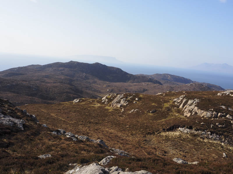
From there I descended south-west and crossed the vehicle track just above the point where it commenced its descent to the habitations north of the Point of Sleat. I then worked my way across more rough ground before ascending the Tump, Creag Mhor North-West Top, the highpoint marked by a rock.
It was then a short descent south before climbing the Tump, Creag Mhor, visiting both highpoints although the westerly one appeared highest.
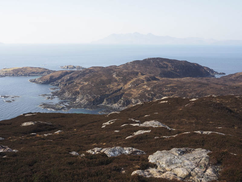
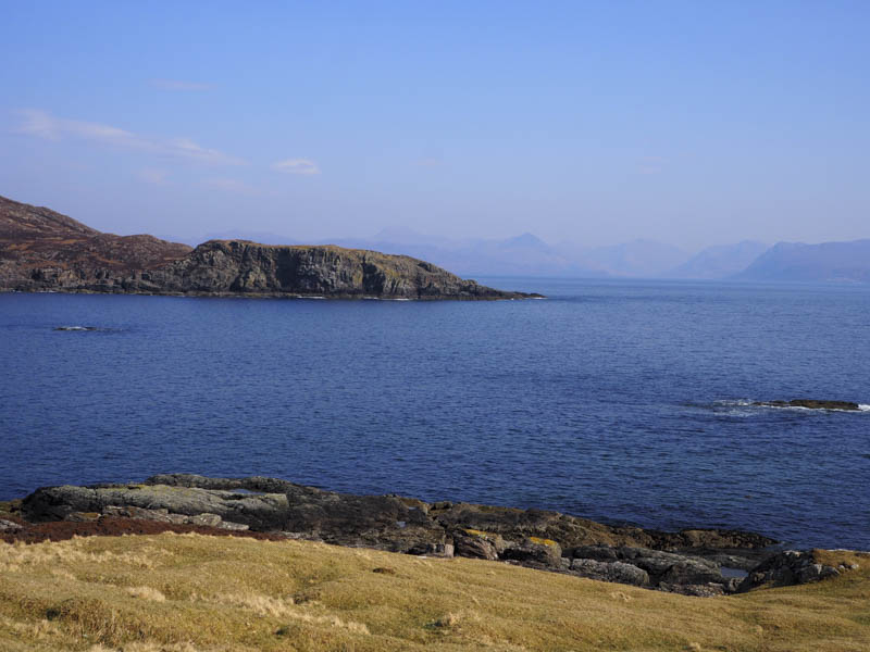
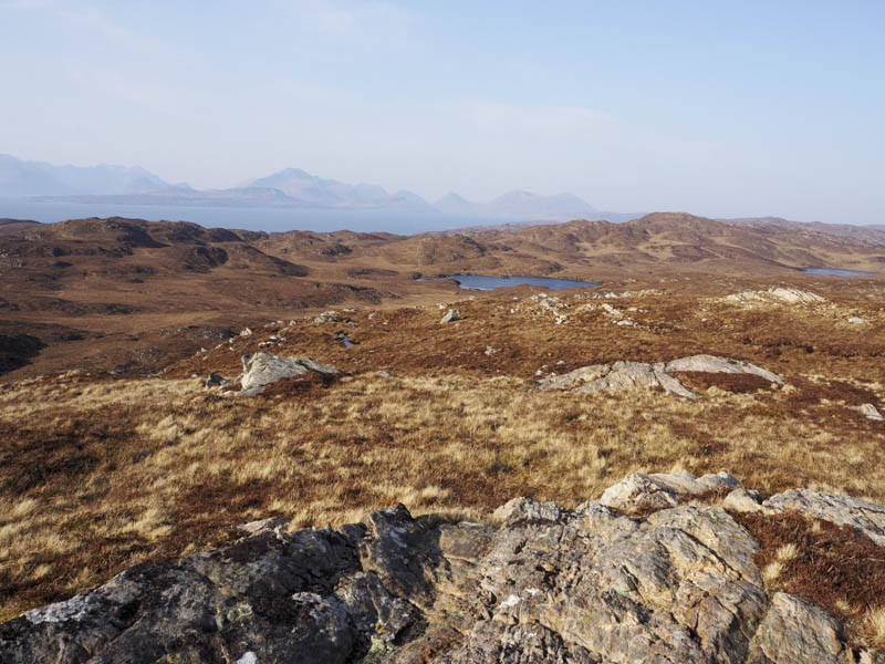
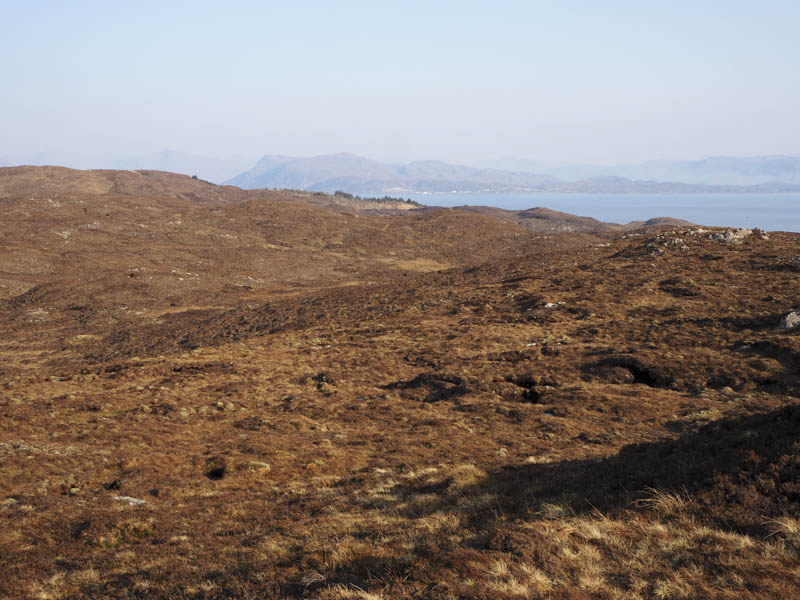
A direct descent west wasn’t possible due to the rocky west face so I descended north before turning west to cross the vehicle track leading to the small beach at Camus Daraich.
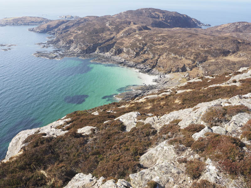
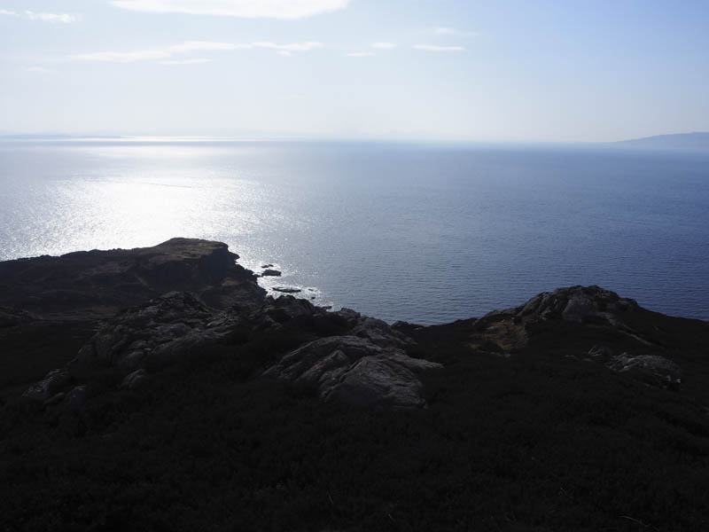
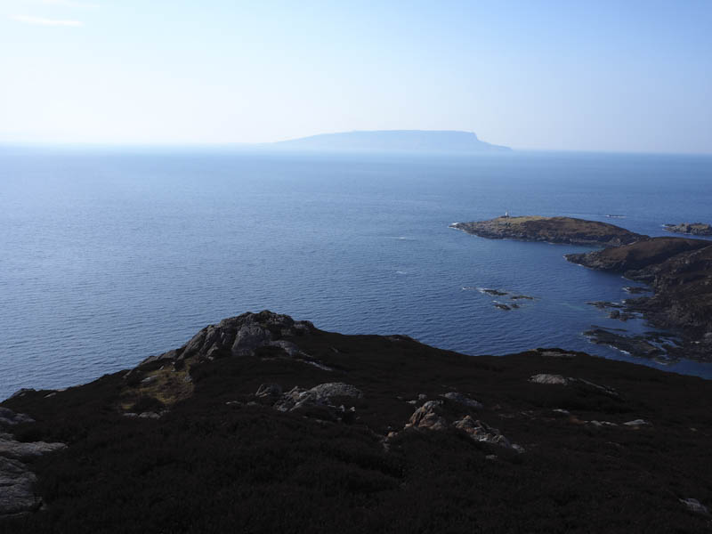
Here I joined the path towards the Point of Sleat later leaving it to ascend the Tump, Point of Sleat, its highest point marked by an outcrop.
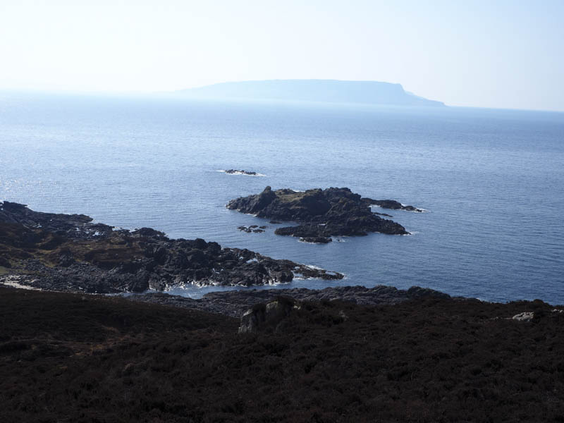
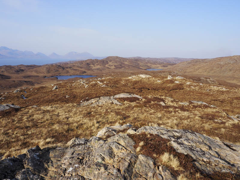
I then rejoined the path further to the south and descended through some wet and boggy ground where there were stepping stones, eroded in places, which led to a grassy area then amongst the rocks the beacon at the Point of Sleat.
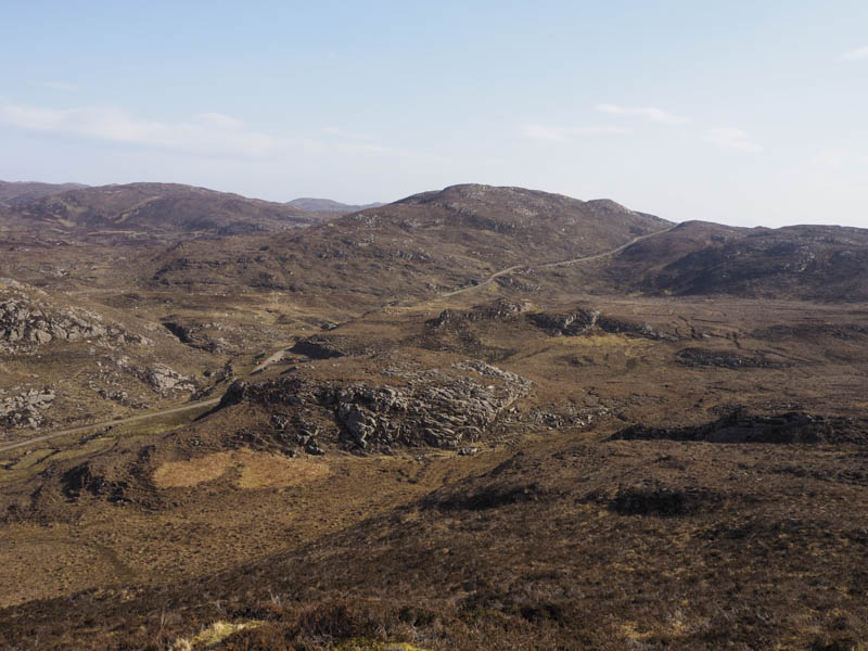
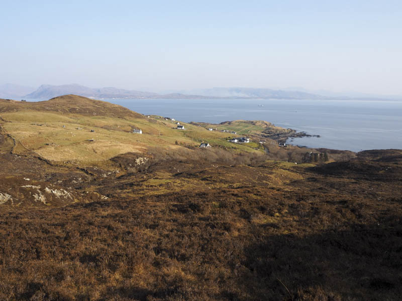
After taking some photos and wandering around the area I returned along the path to the vehicle track above Camus Daraich then followed it north passed a couple of buildings and houses. Beyond the upper gate I left the track and commenced the ascent of the Tump, An Doirionnaich, which involved a few ups and downs. On reaching its summit area I visited four potential highpoints although I later ruled one of them out.
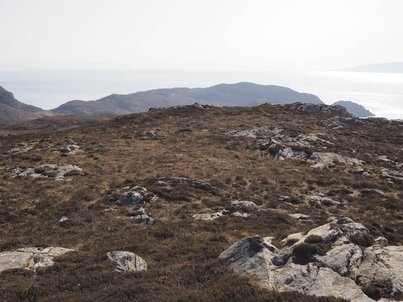
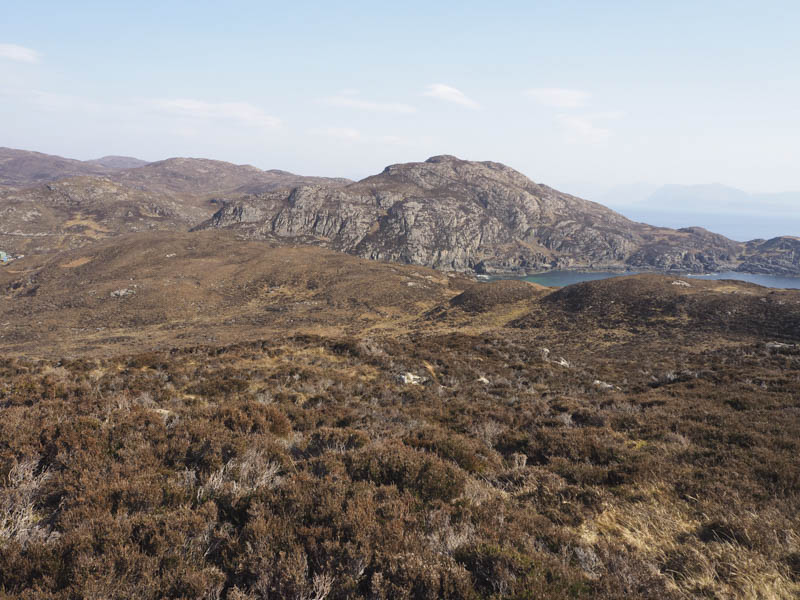
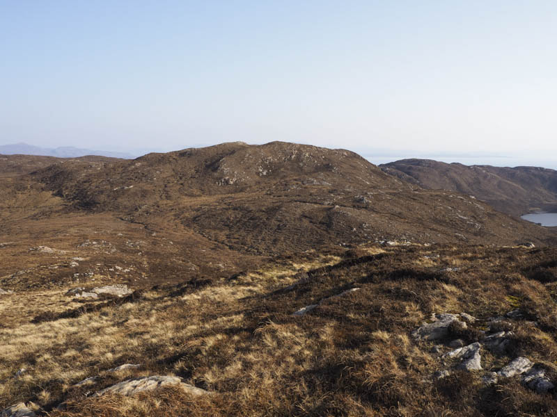
I then descended north across more rough ground before climbing the Tump, Sgurr an Easain Dhuibh, where there was a choice of two highpoints.
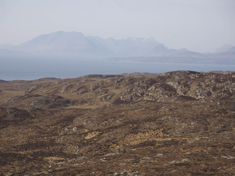
The next hill was Sgurr a’ Chaise located to the north-east. Loch an Dathaidh was passed to the south then I ascended this Tump, the highest point marked by a rock.
Then it was onto my final Tump of the day. I descended south-east across more pathless terrain and climbed Cnoc Loch Horaveg where there were three possible high points.
After an eight Tump Day, as well as a visit to the most southerly point on the Isle of Skye, it was time to head back to the Ard of Sleat. I descended south-east avoiding several small bumps to reach the car park beside the stock gate.
- Time taken – 6.5 hours.
- Distance – 12 kilometres.
- Height climbed – 625 metres.