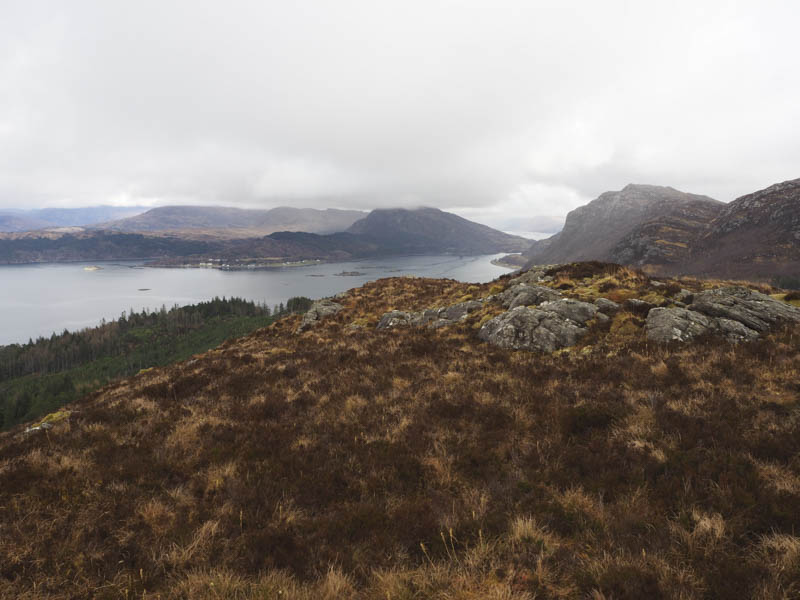
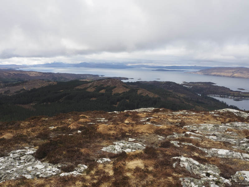
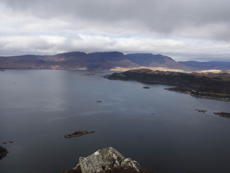
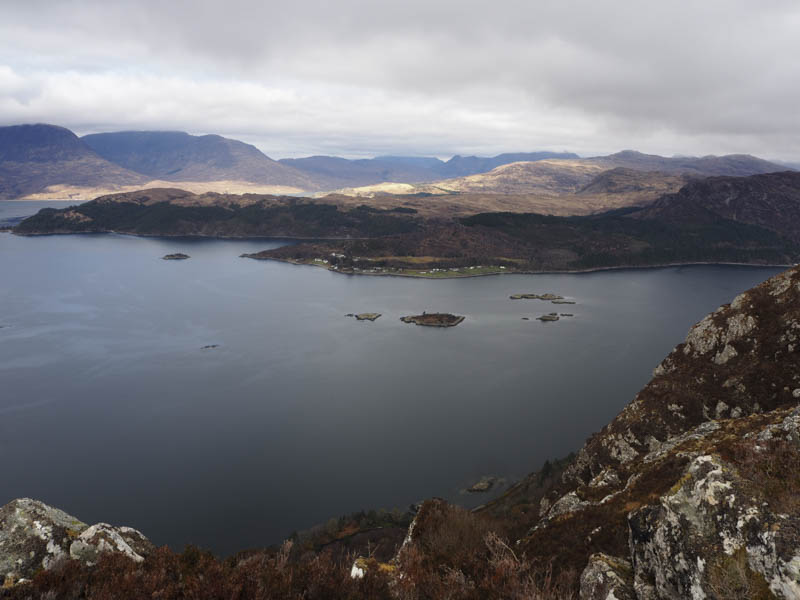
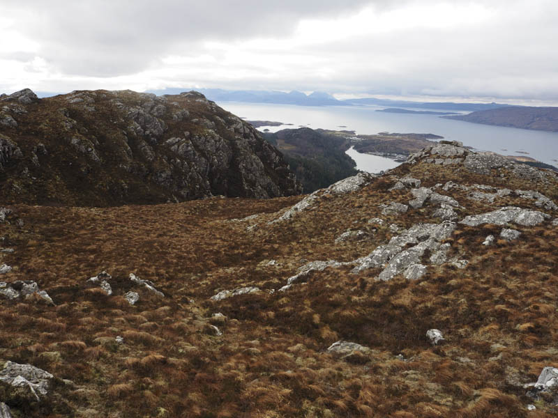
We left the car at the side of the minor road south of Plockton and north of Loch Lundie then walked east along the track through Creagdaroch Wood, the track later turning south. At a junction of tracks we continued south to just before an old gate where a small cairn marked the start of the path to Creagdaroch. This route ran alongside a fence and into the trees, the route through the wood marked by white posts and green circles painted on trees. Once above the tree line the path became less obvious as we walked through the heather to Creagdaroch’s cairn and viewpoint. The highest point of this Tump was the knoll to the east.
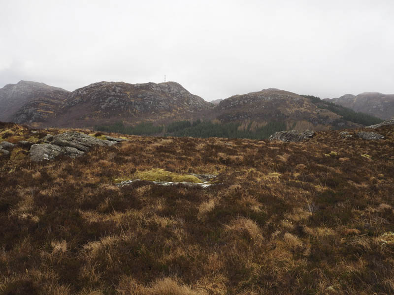
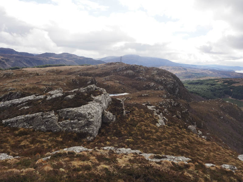
We returned to the track junction and here took a right, east, as the track continued through Creagdaroch Wood. The track later steepened before reaching the Bealach Mor then we continued to follow it as it wound its way to the communications tower and the cairn marking the summit of the Tump, Carn a’ Bhealaich Mhoir.
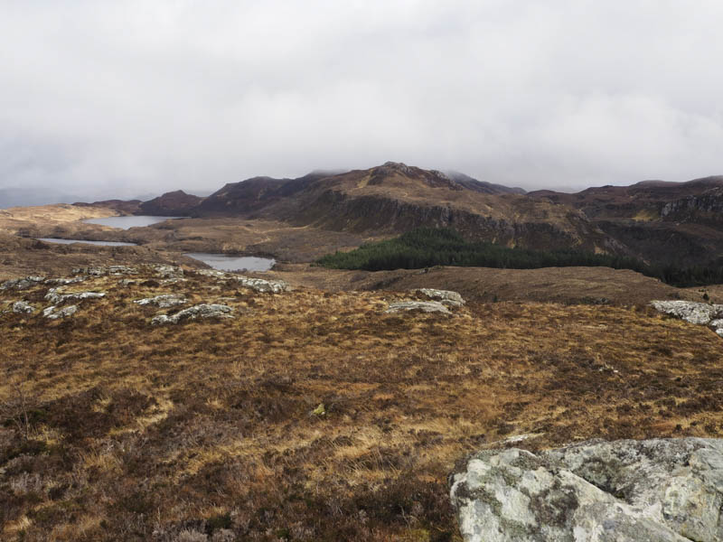
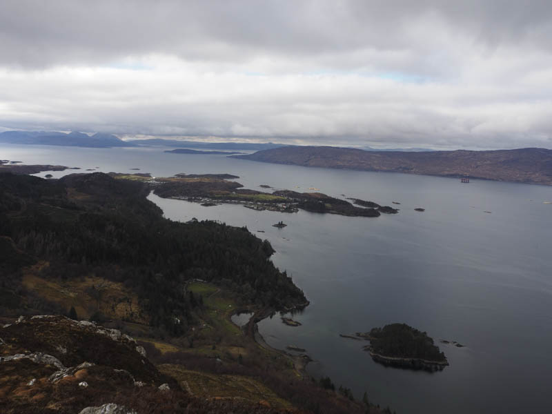
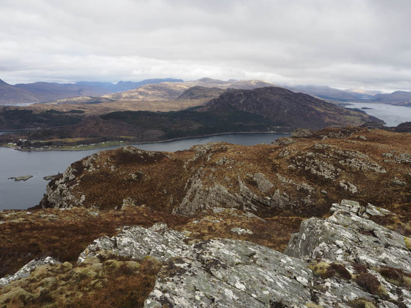
After a break here one person returned to uplift the car and to collect us at the end of the walk. We headed north and I took a slight diversion to ascend the North Top which may have been the same height as Carn a’ Bhealaich Mhoir.
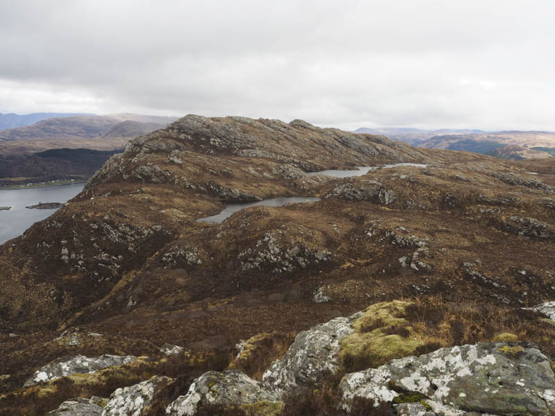
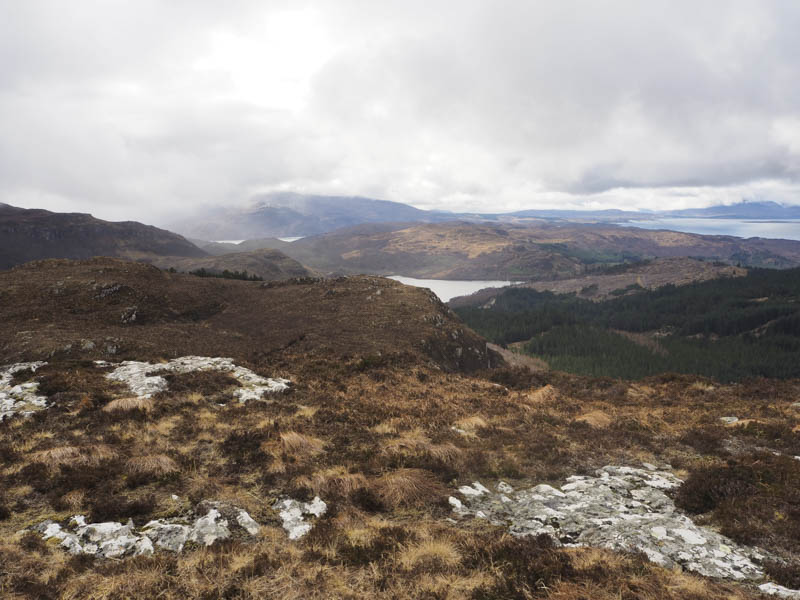
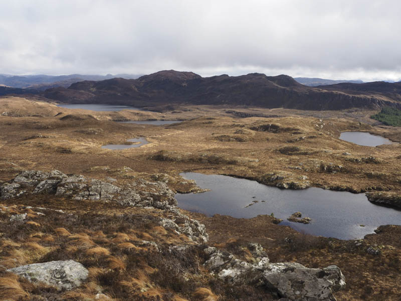
On the descent we gradually turned north-east with traces of a path as we ascended the Tump, Creag an Duilisg. There were four highpoints but I was unable say which was the highest.
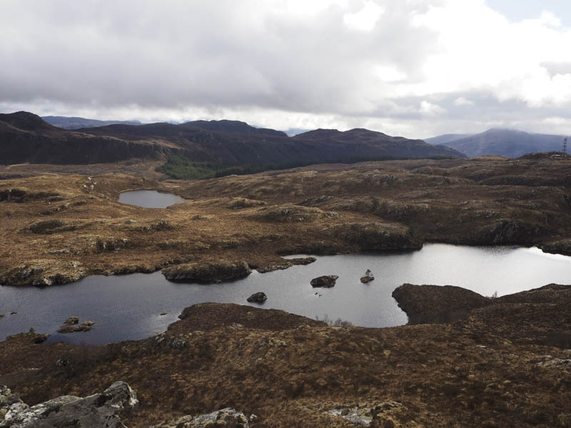
We descended east to an unnamed stream and followed it south-east then later north-east through rough vegetation including tussocks and heather. Lower down there were some well spaced trees and here the ground was mossy with dead bracken as well as being a bit steeper. Finally a stock fence in poor condition was crossed to gain the minor Plockton to Achmore Road at NG846335 where we were uplifted.
- Time taken – 4.25 hours.
- Distance – 7.5 kilometres.
- Height climbed – 440 metres.