Left my vehicle in the car park on the west side of the unclassified road, accessed off the B993 Monymusk to Tillyfourie Road, east of Tillyfourie, and walked west along the forest track to Bogmore Wood. At a junction I headed north passed the Stone Circle.
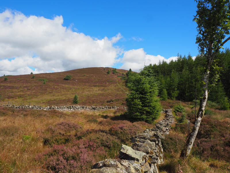
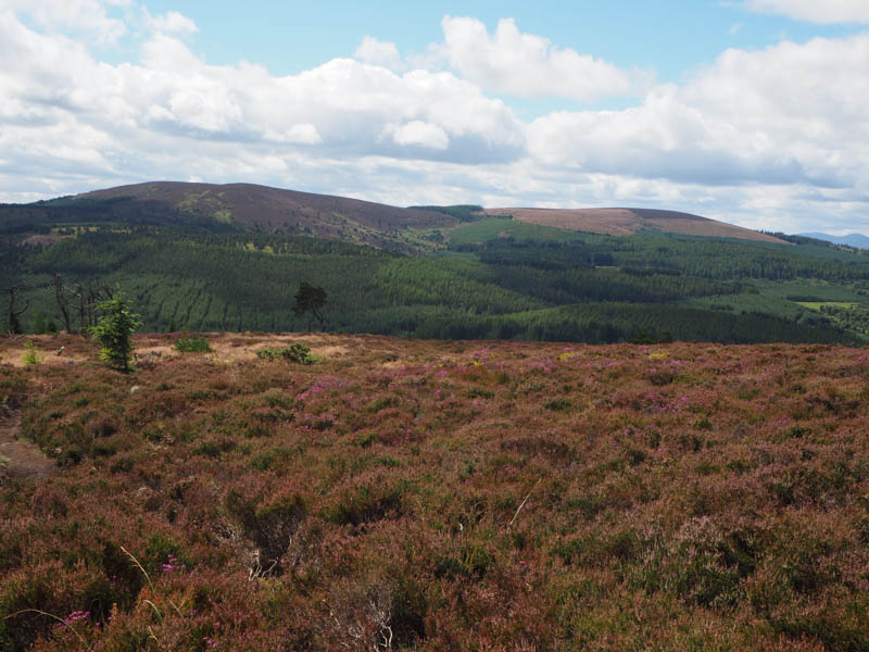
After a few undulations and at grid reference NJ649147 I left the track and climbed fairly steadily north-west on a path, also used by mountain bikers, through the trees and onto the open hillside. It was then a short climb to the cairn marking the summit of the Tump, Green Hill with views of the Aberdeenshire countryside.
With very little breeze the flies were quite bad so I descended via a path to the col with White Lady then from there another path led to the grid reference mentioned above. I then retraced my route back to the car park.
- Time taken 1.5 hours.
- Distance – 7.25 kilometres.
- Height climbed – 295 metres.