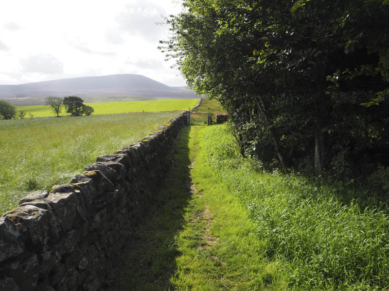
I was staying with friends in Edinburgh so we headed down the A70 to the small car park on the east side of the road to the south of Little Vantage. From here we walked south along the Cross Borders Drove Road on a path that was rather wet and boggy in sections.
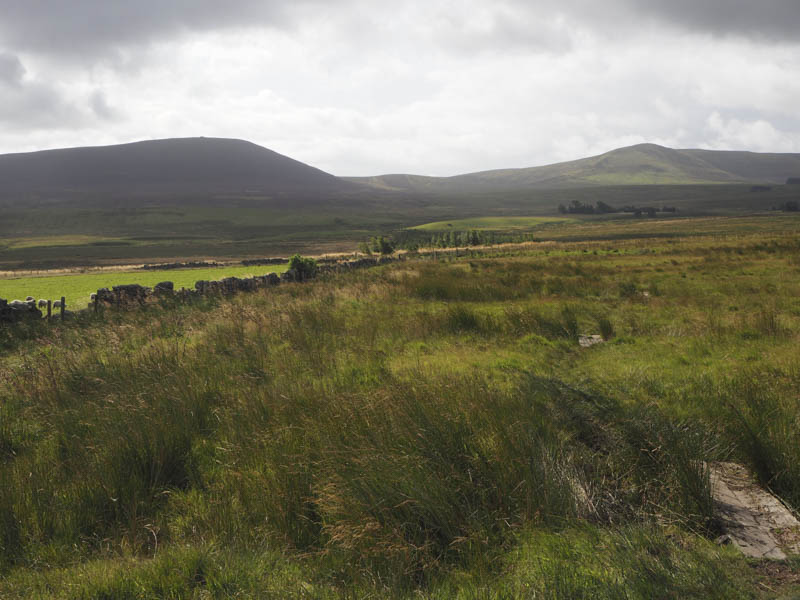
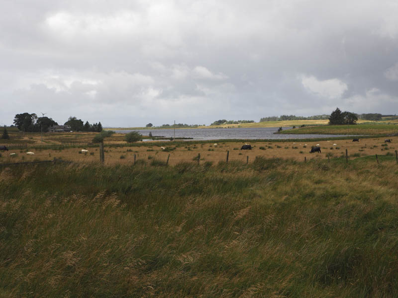
There were several gates to pass through, a few in poor condition, and sections of fencing had collapsed. This permitted cattle to access the Drove Road particularly in the vicinity of Harperrig Reservoir.
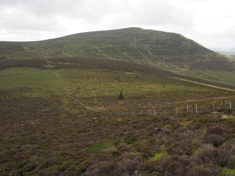
Beyond, the path followed the east bank of the Baad Park Burn gradually leaving it as height was gained. On reaching the west face of East Cairn Hill a rough path headed east to reach a cairn situated amongst some boulders. However the highest point of this Tump was some 750 metres to the south-east and involved a slight loss of height before following a fence and stone dyke to the summit area. The highest point wasn’t obvious.
After wandering about for a bit we left the summit, crossed the fence and dyke and descended west across heather and some boggy ground to reach the col between East and West Cairn Hills, known as Cauldstane Slap.
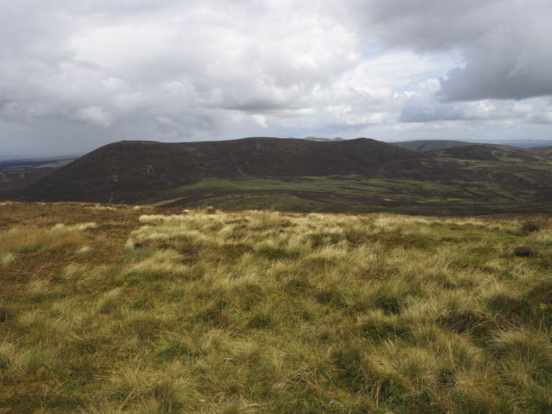
From here a path followed the stone dyke and fence to the summit of the Marilyn, West Cairn Hill, where we took a break sheltering from the wind behind the dyke.
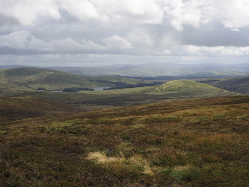
Thereafter we descended the north-east ridge to ATV tracks on the west side of Baad Park Burn. When they headed off in a different direction we crossed some rough vegetation and the burn to rejoin the path used earlier. However near Harperrig Reservoir cattle were blocking the path and one cow in particular appeared agitated as its calf was on the wrong side of the fence. This meant a diversion east through some rushes and boggy ground before rejoining the path and returning to the start.
- Time taken – 5.25 hours
- Distance – 13.25 kilometres.
- Height climbed – 500 metres.