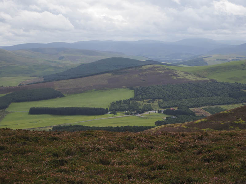
With some friends we headed to west of Dolphinton and parked at the side of the minor road just west of Croft-an-Righ. We passed through a couple of gates, crossed a field containing sheep then followed a vehicle track south-west below White Hill. After gaining some height the track continued in a southerly direction to the col between White Hill and Black Mount.
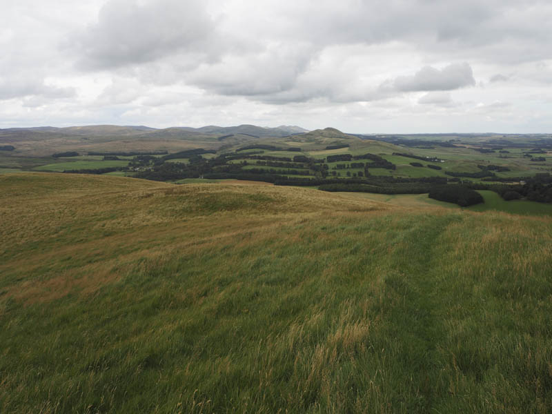
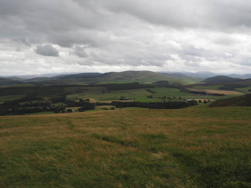
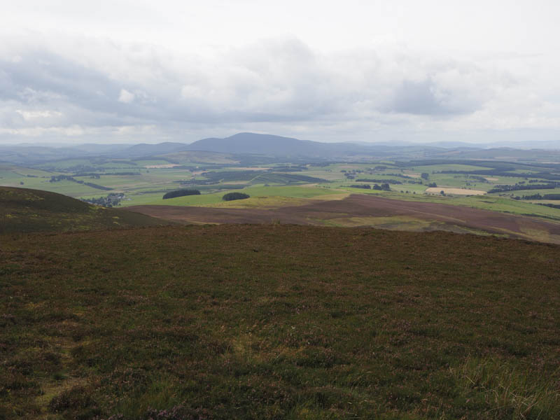
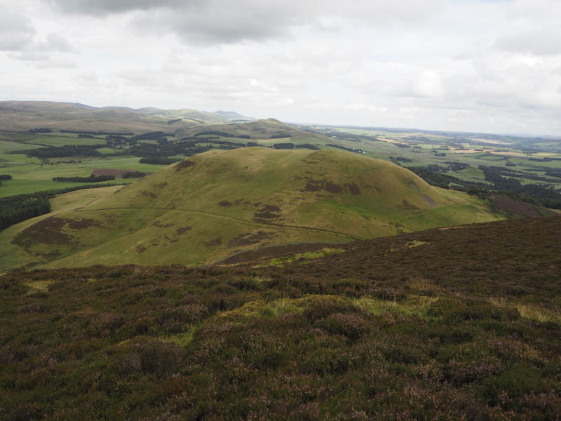
Here we left the track and ascended the Tump, White Hill, on a path at the side of a stock fence. Although cloudy it was above the tops so we had views of the main Pentland Hills.
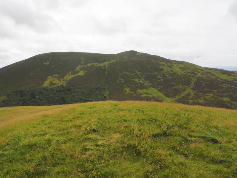
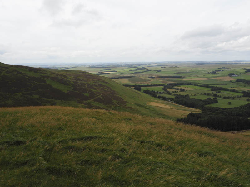
On returning to the col we crossed a barbed wire fence and walked through some heather to reach a grassy rake rising westwards below Black Mount. When this area of grass came to an end there was more heather to contend with before gaining Black Mount’s North-East Ridge. It was then a walk of around 600 metres on a path to reach the summit trig point of this Marilyn.
Later we returned to the col before following the vehicle track back to the start.
- Time taken – 2.75 hours
- Distance – 5.5 kilometres.
- Height climbed – 350 metres.