The road was icy in places as I drove north from Blairdaff towards the Chapel of Garioch and the Esson’s Car Park, the starting point for my ascent of the Marilyn, Oxen Craig, on Bennachie, in rural Aberdeenshire. The car park was fairly busy as it was a fine bright morning and relatively calm amongst the trees. The Forestry Commission charges for using the car park but as it was Christmas Day I decided it should be free.
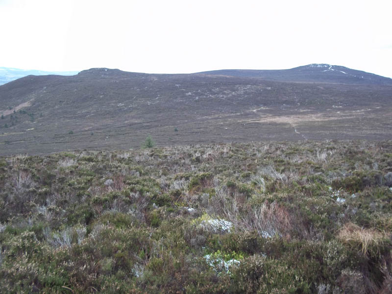
On leaving the car park I passed the Bennachie Visitor Centre, which was closed, and walked west along the north side of the Clachie Burn on a good track, part of the Gordon Way Trail. On reaching a junction of paths I headed north on the signposted route for Mither Tap.
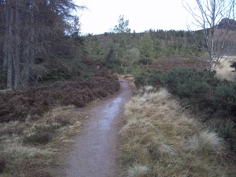
This path was in reasonable condition with manmade steps on steeper sections making for steady progress. Higher up there was a chilly wind blowing with a thin covering of snow on the paths making it slippery in places.
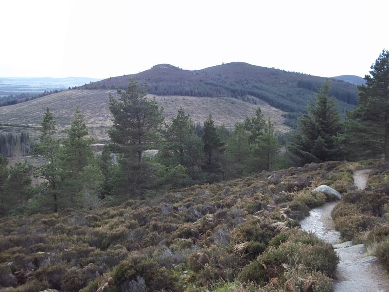
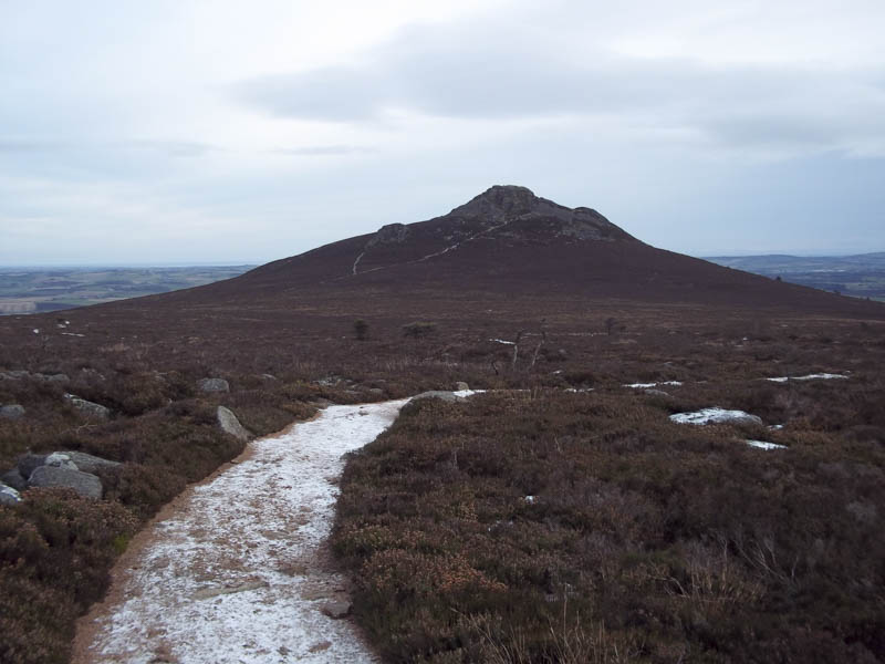
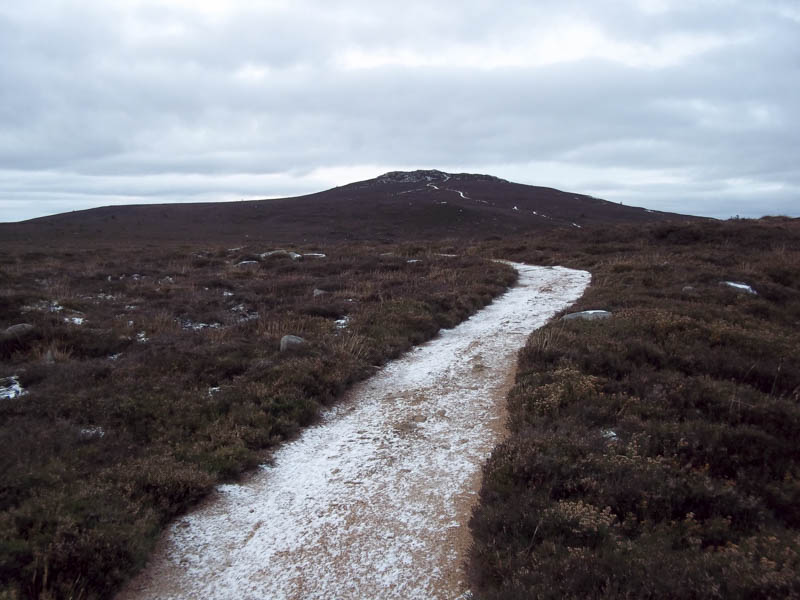
I by-passed Mither Tap to the west and headed along the paths for Oxen Craig. There were fewer folks up here, around half a dozen, including a mountain biker.
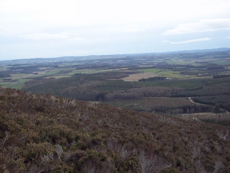
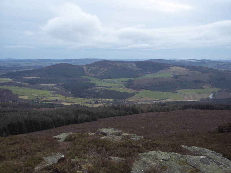
The final approach to the summit of the Marilyn consisted of a few snow covered rocky steps and this took me to the large cairn and shelter with views of the surrounding countryside. Nearby there was a viewpoint indicator.
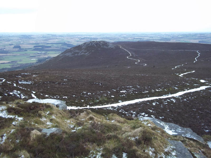
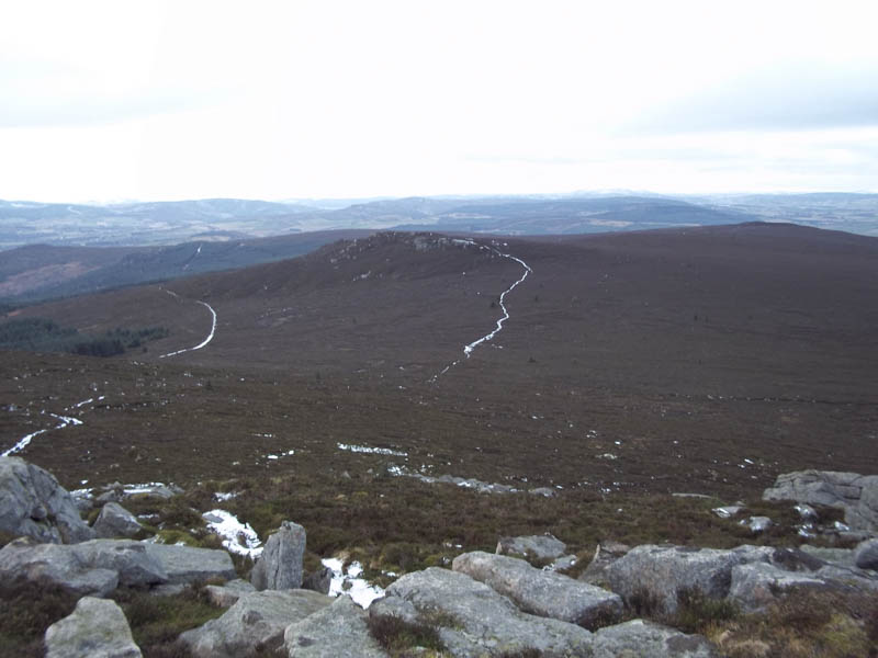
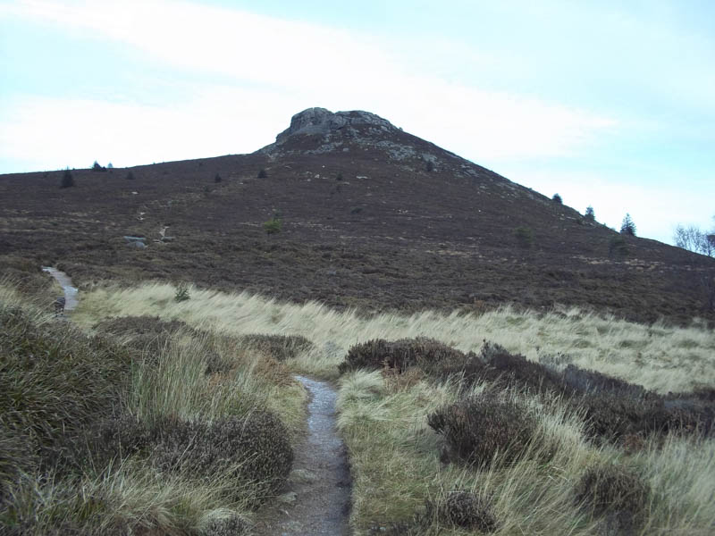
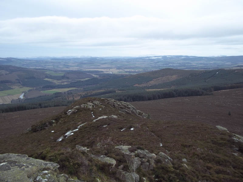
From Oxen Craig I descended west through some rocks and followed the path to the Tump, Watch Craig, an area of Bennachie I hadn’t visited before.
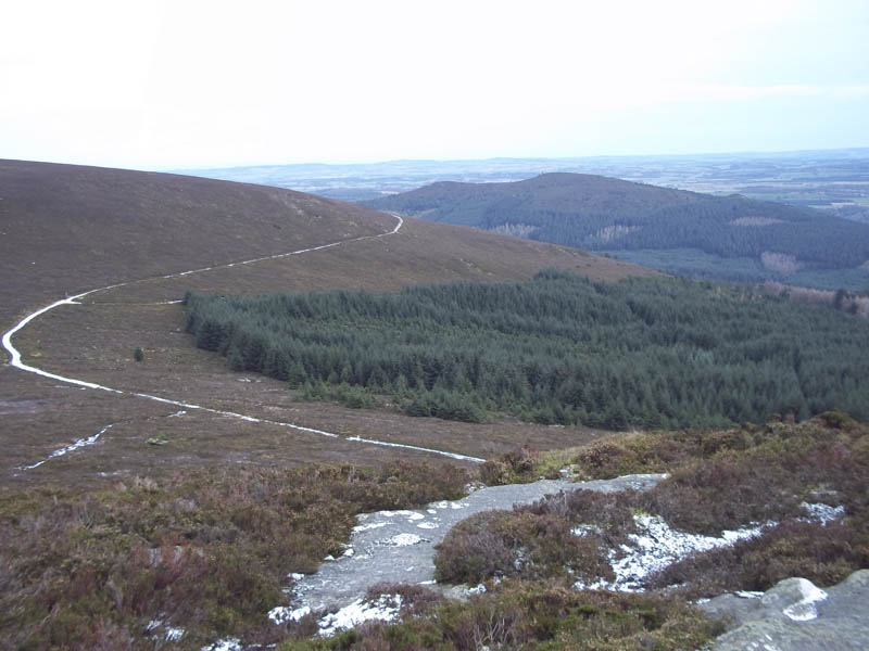
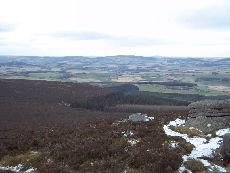
On leaving this summit I briefly retraced my steps before making the short descent south on a peaty path to the Gordon Way Trail. This trail wound its way east before descending through the forest to the point where I left it earlier that day. It was then a couple of kilometres back to the car park.
- Time taken – 3.5 hours.
- Distance – 13 kilometres.
- Height climbed – 515 metres.