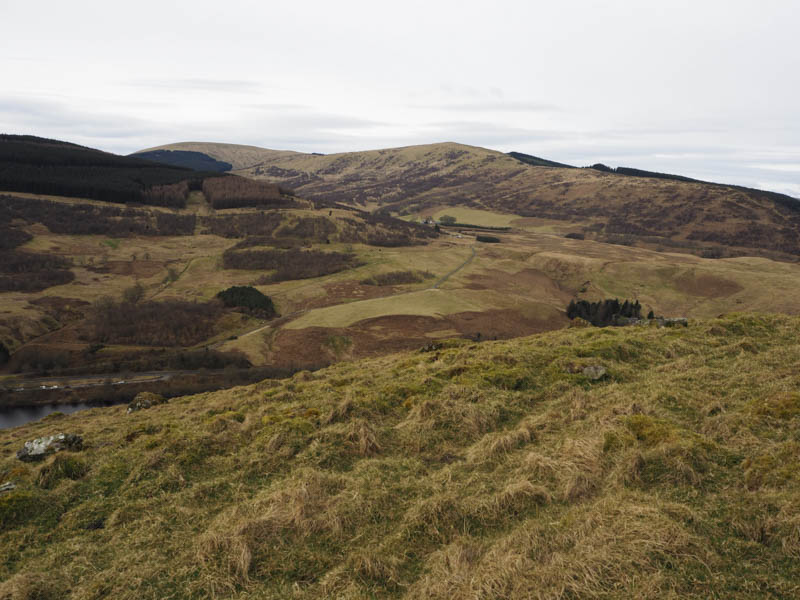
Down Hill – I parked at the east side of the B934 Yetts of Muckhart to Dunning Road beside the gate giving access to the Marilyn, Lendrick Hill, and walked south along the B934 to the vehicle track leading to Downhill Farm.
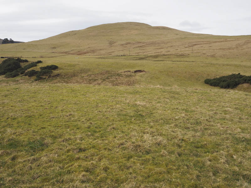
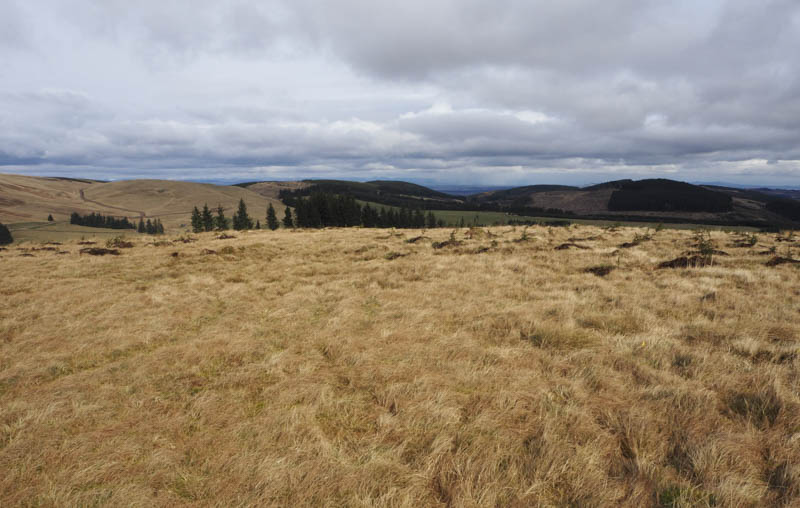
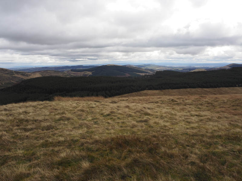
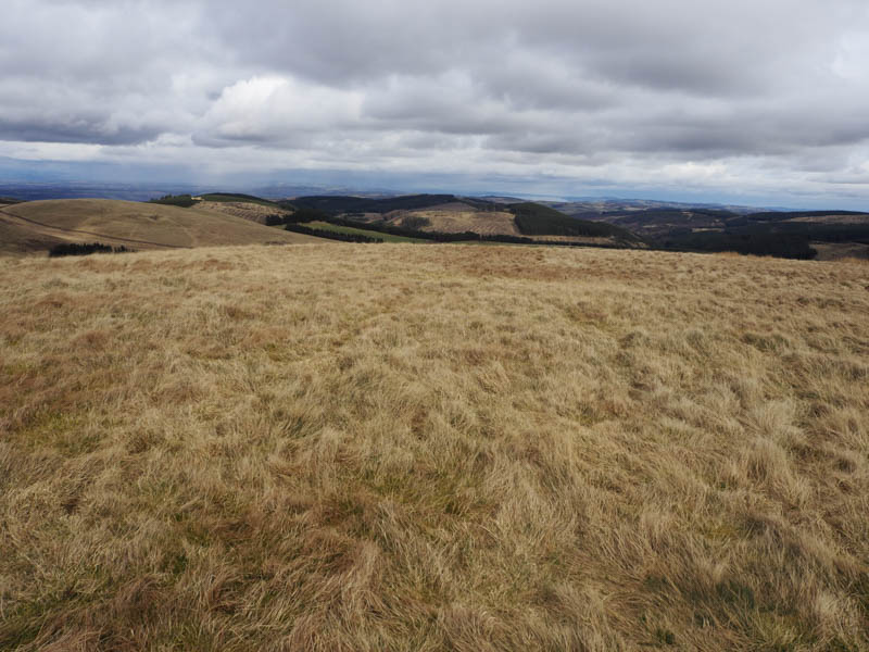
I briefly walked up this track then through a couple of stock gates into a grassy field with some reeds and damp patches. I aimed for another gate in the stock fence and once beyond it climbed onto the grassy north ridge of Down Hill. It was then a short walk to the cairn marking the summit of this Hump.
On the return route I made a more direct beeline to the farm track.
Lamb Hill, Sim’s Hill, John’s Hill and Corb Law – The starting point for these hills was the Tonguey Faulds Car Park on the east side of the B934 Yetts of Muckhart to Dunning Road. I crossed the road and passed through the pedestrian gate in the new deer fence which enclosed a large area of hillside creating the Knowes and Keltie Woodland. I walked north-west along the vehicle track for Corb Glen coming across a new vehicle track heading south which led to large stacks of logs and harvesting vehicles. Fortunately it was a Sunday so there was no activity.
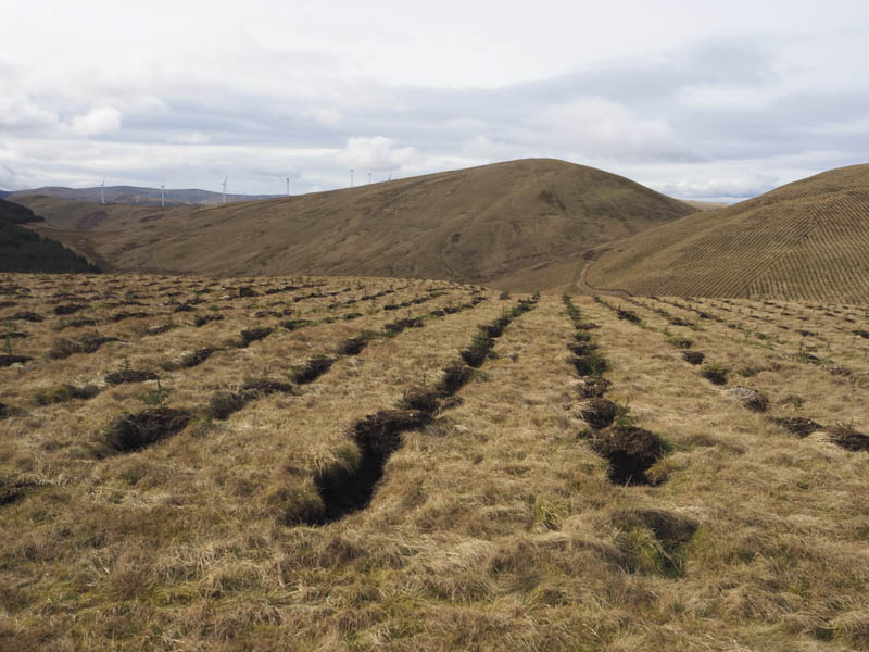
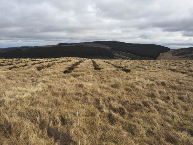
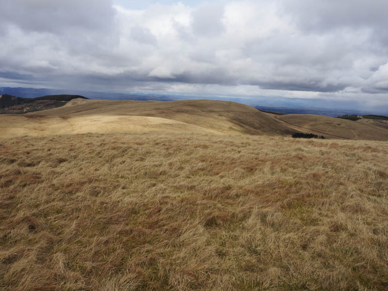
I left this new track, didn’t see where it was headed, and walked south-west through rough vegetation to the edge of the mature trees being harvested. The new track actually passed nearby before running south. I headed west then south-west through saplings that had been planted in rows making for an easy ascent of Lamb Hill although that will change in time. The summit of this Tump was just some grass and at the time of this ascent was surrounded, probably accidentally, by four canes.
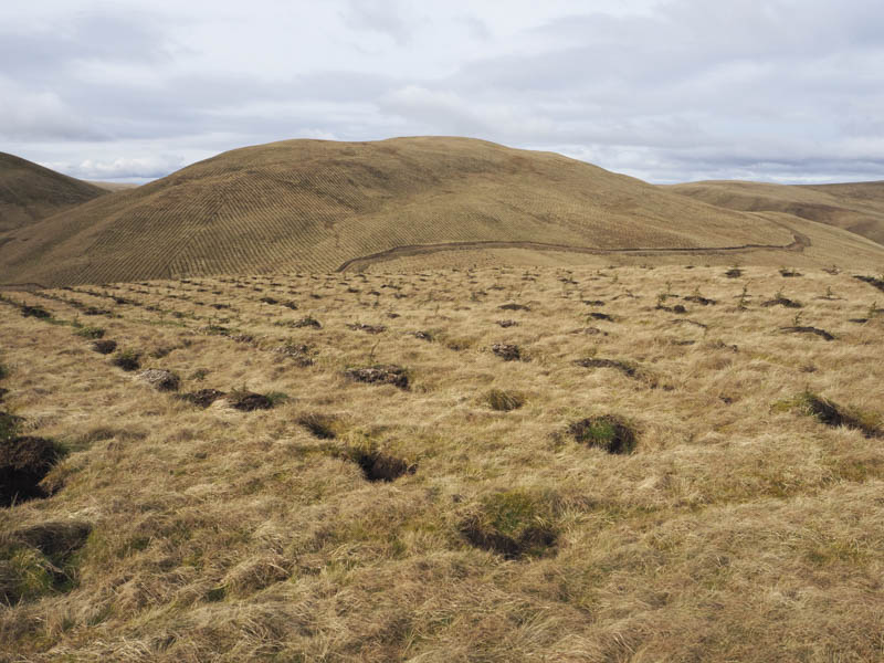
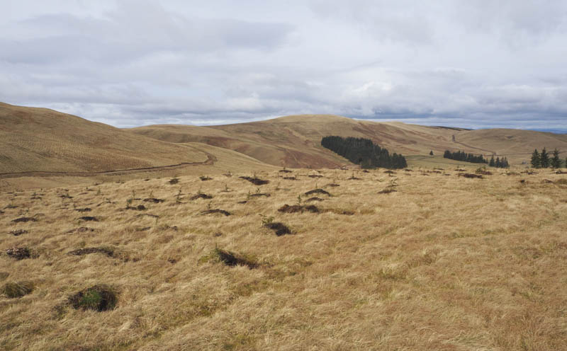
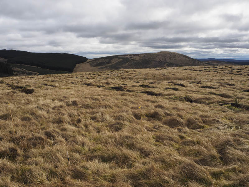
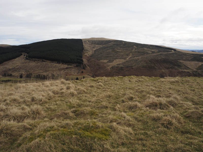
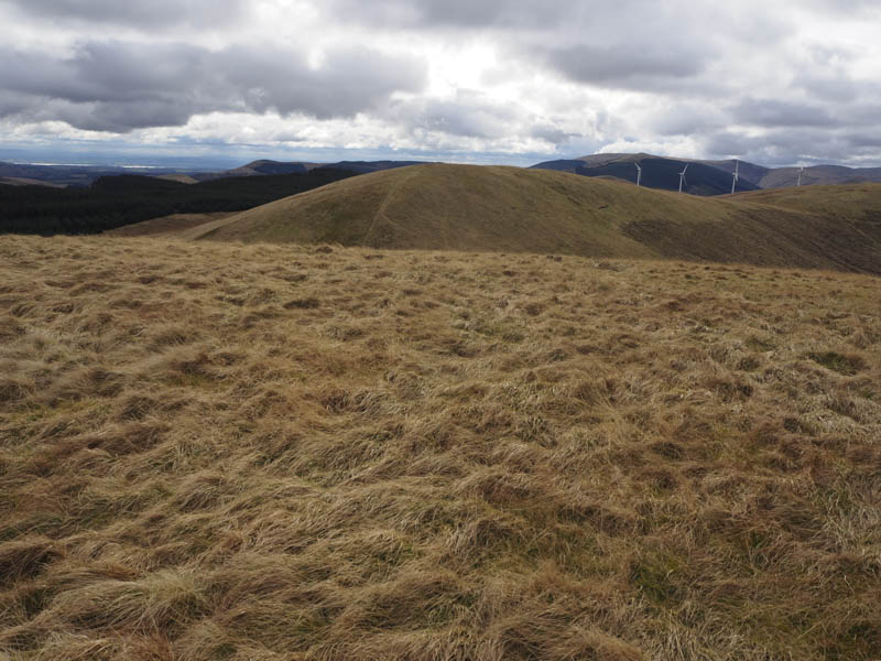
The descent west was through more recent plantings but I soon came to another new vehicle track (possibly the one I was on earlier) which I used to descend to the col with John’s Hill and a junction of tracks. Here I went left and followed the vehicle track south- west then west before it came to an end. There was some rough grass then an old ATV track led to the col between Sim’s Hill and John’s Hill. It was then a steep climb to the summit of the Tump, Sim’s Hill, with its two highpoints on the north side of the deer fence.
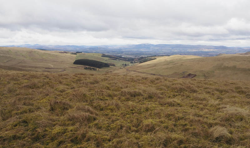
I returned to the col with John’s Hill and climbed to the grassy summit of this Tump.
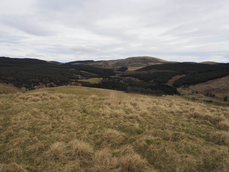
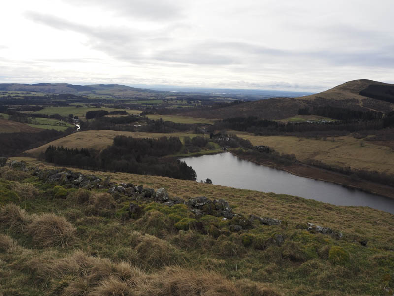
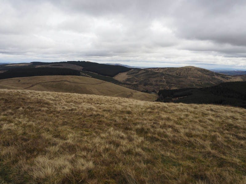
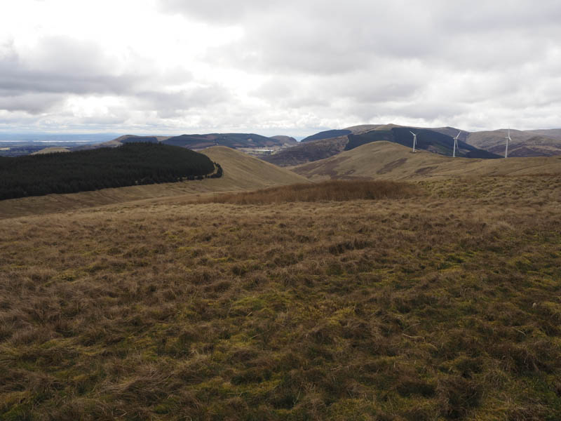
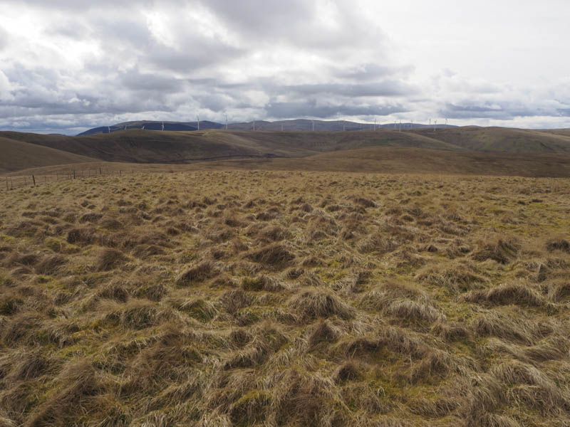
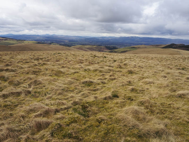
From there I descended north-west, initially through some long grass, then young trees, to reach the upgraded vehicle track in Corb Glen. It was a steep climb north-east out of this glen before the gradient eased and I headed over Perk Hill onto the Hump, Corb Law. There appeared to be two highpoints either side of the deer fence but fortunately there was a gate nearby that gave access to the northerly point.
It was a fairly steep descent south-east then the gradient eased and I was amongst rows of more young saplings. Again there was no real problem other than some dead bracken to contend with. This led to another new vehicle track west of the building at Corb and was followed south-west to join the upgraded vehicle track to Corb Glen. Here I went left, east, and followed the track back to the B934.
Hill of Midgate – I parked beside a large log blocking the entrance to the vehicle track (NO02912085) on the north side of the minor Findo Gask Road, north of the A9 and south-west of the Broxden Roundabout at Perth. I walked up this lane, which was covered in brash due to tree felling, and to the highpoint on the track which was the summit of the Tump, Hill of Midgate. I then retraced my route.