From Inverness I made the short journey south on the B861 to Invercarnie then south-west on the B851 to Farr where at Woodside drove south on the little used minor road linking the B851 with Strathdearn. Immediately north of the cattle grid and bridge over the Allt Beag I parked beside an electric pylon. (NH69753032)
On leaving my car I walked west through reeds and soggy ground then there was some easier heather followed by more rough vegetation to reach the forest edge where I headed south along the side of a deer fence.
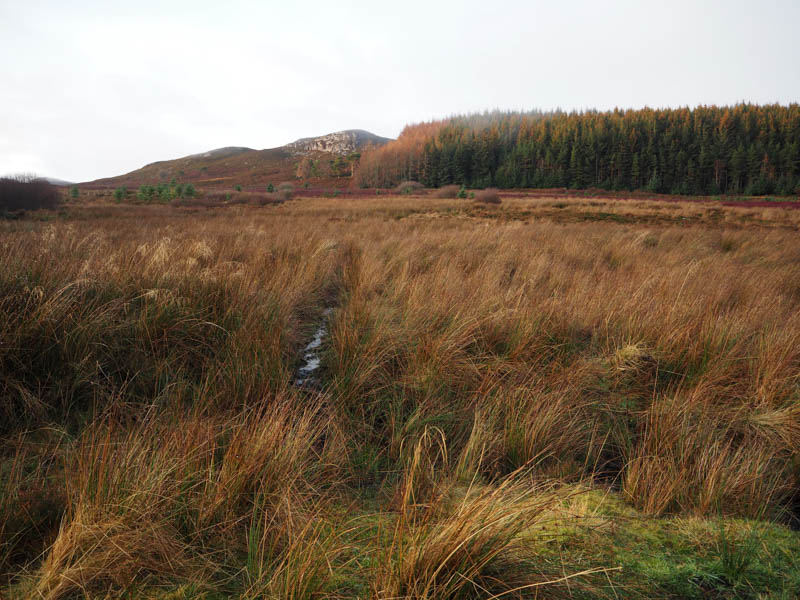
At the corner of the wood, I came across another deer fence which was in some disrepair although attempts had been made to repair it. The wooden posts were weak, and the deer were crossing further east so I was able to do likewise.
I climbed west along the edge of the deer fence and forest following deer tracks. Near the highpoint I left the trees and fence and continued south through heather and a few outcrops onto the summit of the Tump, Carn Loch na Leitir, marked by an outcrop.
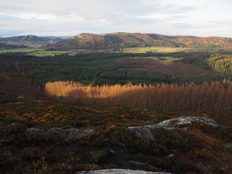
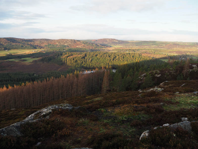
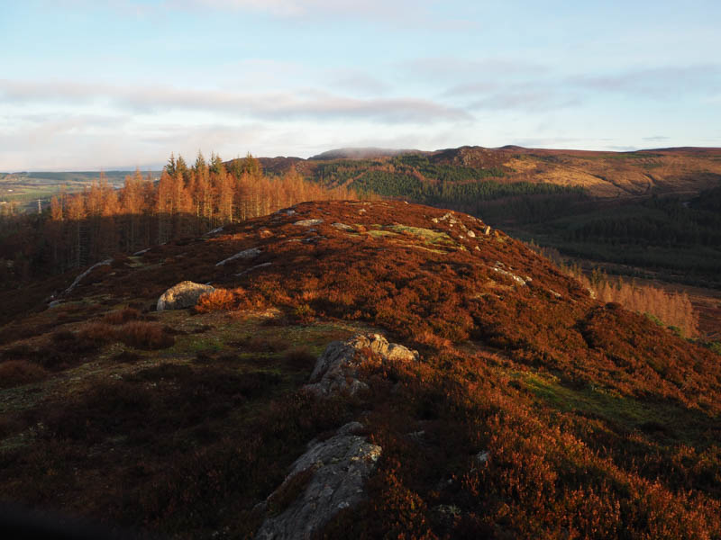
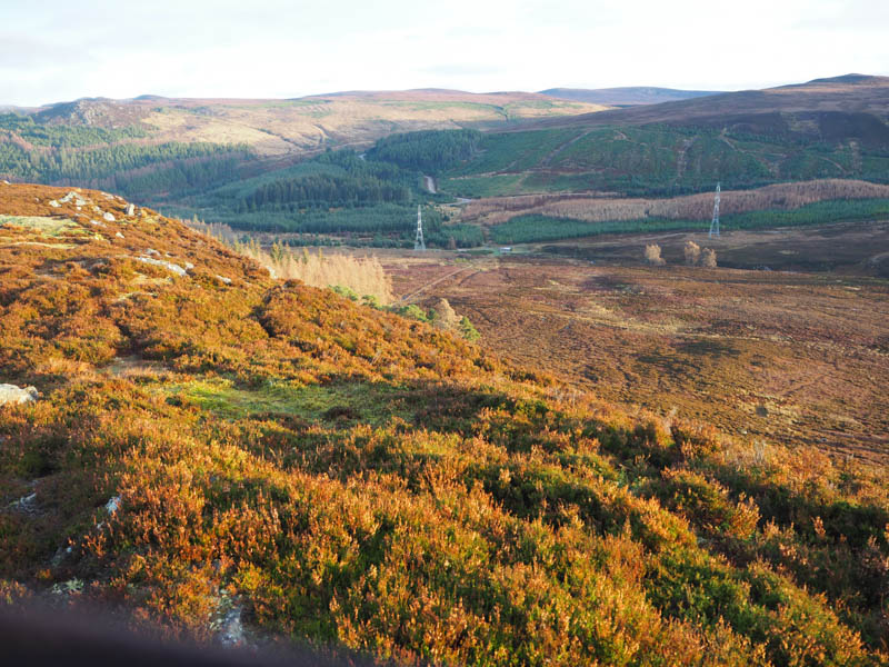
The descent south to some swampy ground was easy enough then once through this wet area I climbed south-west onto the west side of Creag Dhubh Flichity.
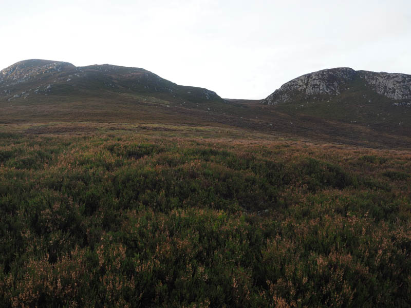
Here the heather was deep and the low cloud that had blanketed Strathnairn earlier was floating around the hilltop. I climbed steeply through more heather and some boulders to the large cairn.
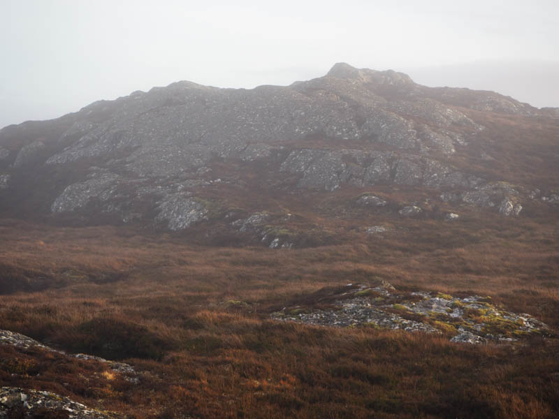
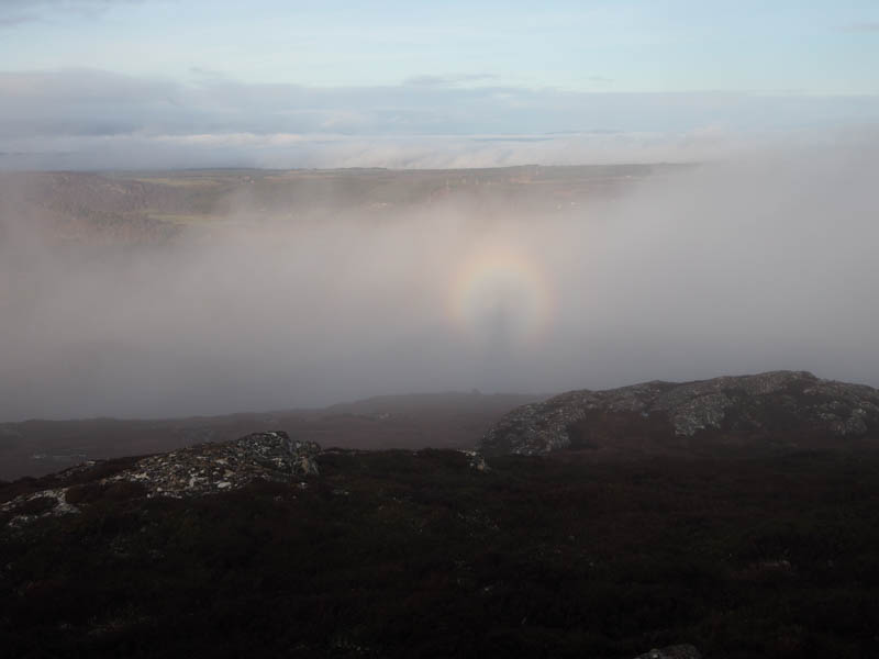
The highest point of the Tump, Creag Dhubh Flichity was an outcrop off to the east, there was a choice of two. Had a break here waiting to see if the mist would clear which it did.
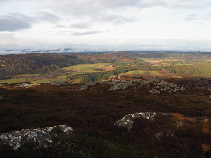
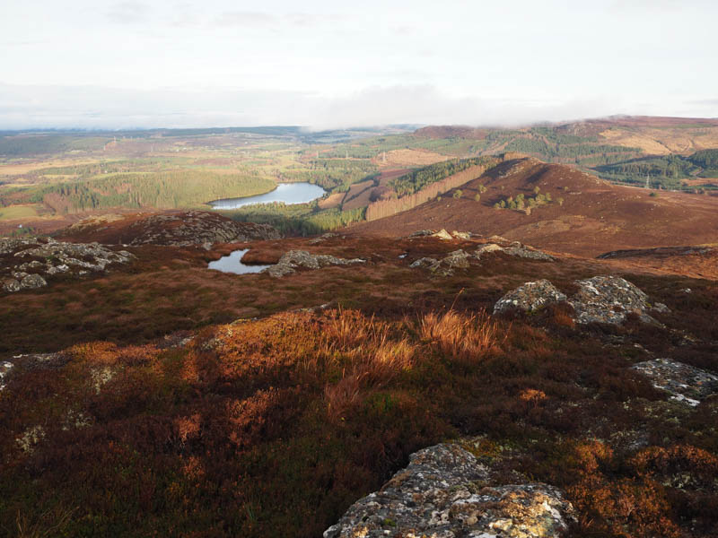
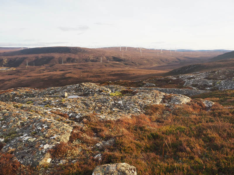
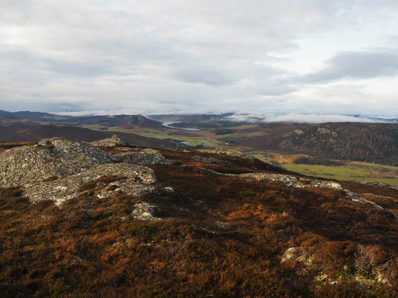
From there descended south but was confronted by crags so moved west then dropped steeply into Glac a’ Chatha crossing heather and large boulders, avoiding the hollows, to the north-west corner of Carn Choire Ruidhe.
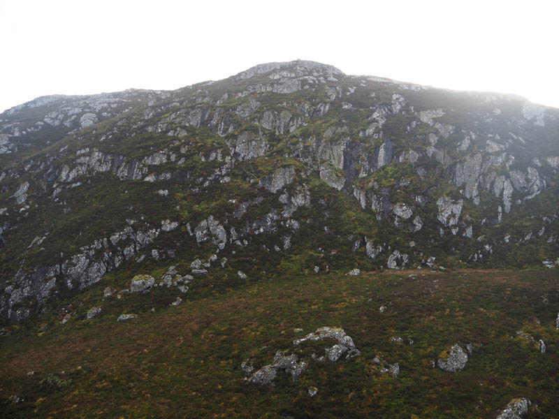
I then climbed onto the north ridge and to the summit of this Sub Dodd, marked by an outcrop. Metal fence posts could be followed in poor visibility.
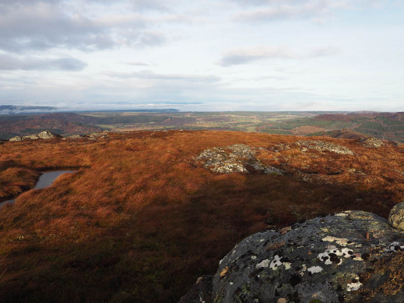
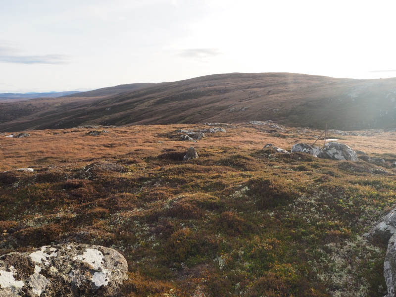
The return route took me north-east through mixed vegetation, some areas easier than others but never difficult for too long. I was expecting it to be tougher than it was.
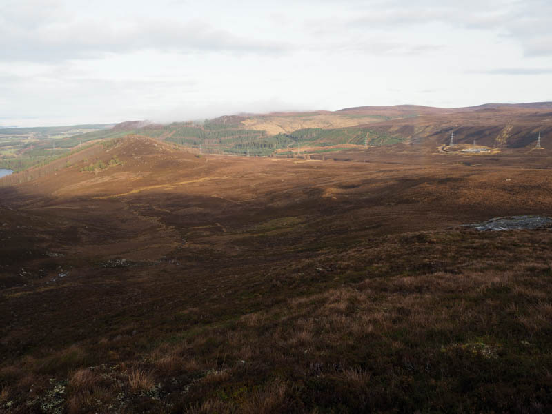
On reaching the deer fence beside the Allt Beag I crossed this stream at an old ford, went through a stock gate and onto the road just south of the bridge and cattle grid not far from my car.
- Time taken – 3 hours 20 minutes.
- Distance – 6.5 kilometres.
- Height climbed – 390 metres.