Note – Due to a problem with the camera the photos are unfortunately all taken with a zoom lens.
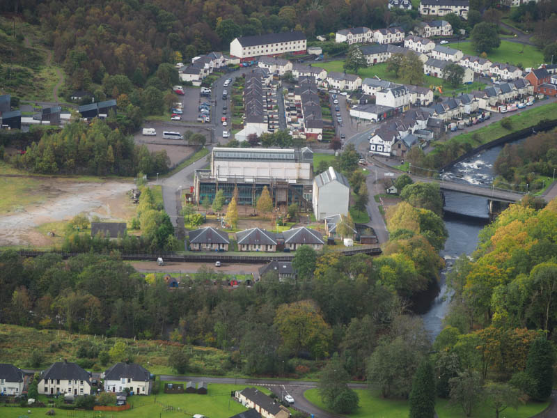
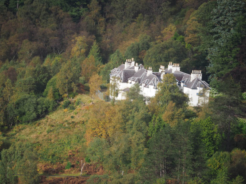
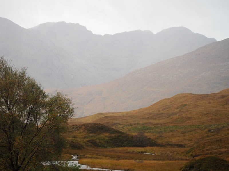
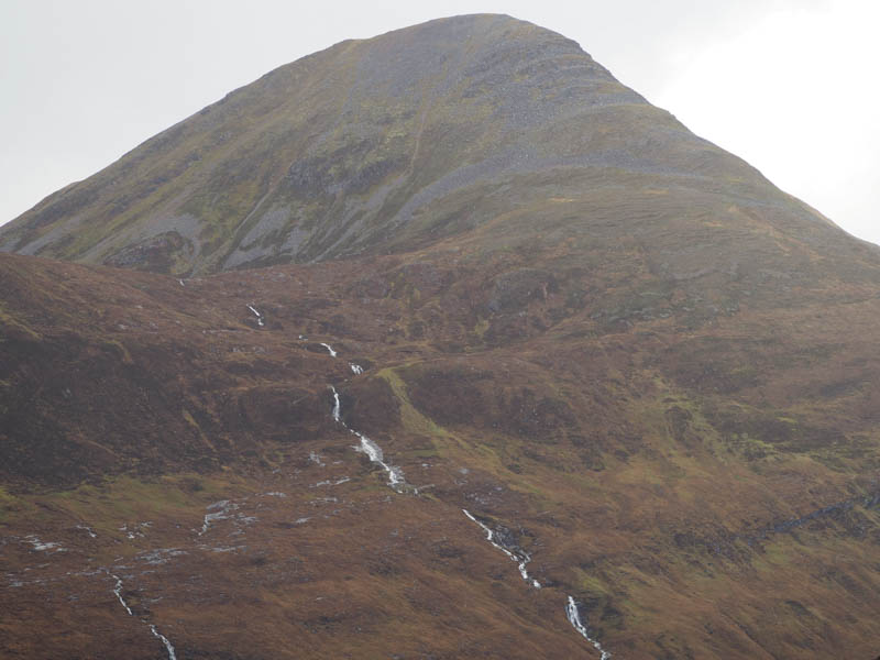
It was raining when I parked in the Grey Mares Tail Car Park in Kinlochmore, at the head of Loch Leven, reached along the B863 from the A82 at North Ballachulish. Once the waterproofs were on I set off walking east behind some houses then north and north-east up the east side of a stream on a little used path.
This path continued through wet grass and bracken and onto the west ridge of Meall an Doire Dharaich where it appeared to terminate.
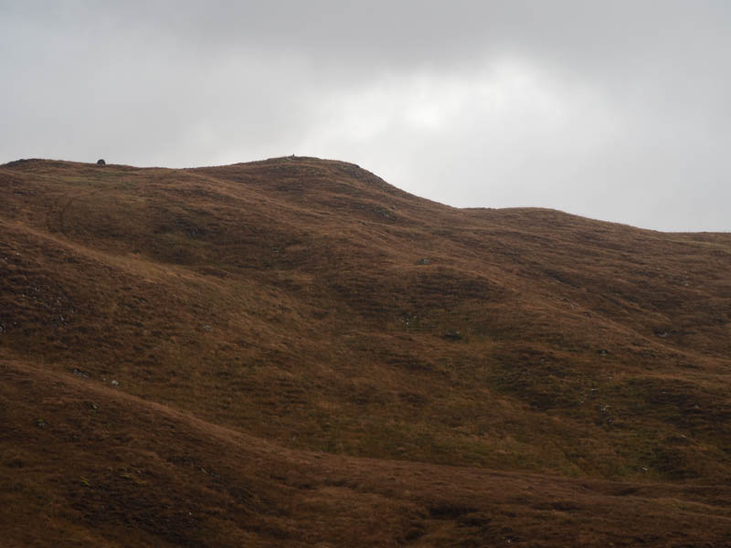
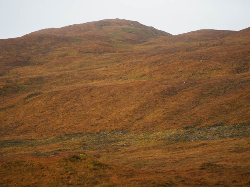
I then climbed through grass, heather and some waterlogged ground onto the summit of this Tump, which appeared to be a wee grassy and mossy knoll near the cairn.
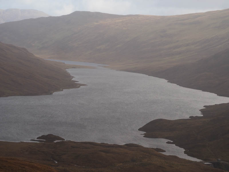
There had been a few showers during the ascent but it was dry at the summit so I took a short break before descending north-east through grass, during a sleet shower, to reach the vehicle track to the west of Loch Eilde Mor then to the bridge over the Allt na h-Eilde. A direct ascent would have involved crossing some wet and boggy ground which appeared to be recovering from burying cables and pipe work.
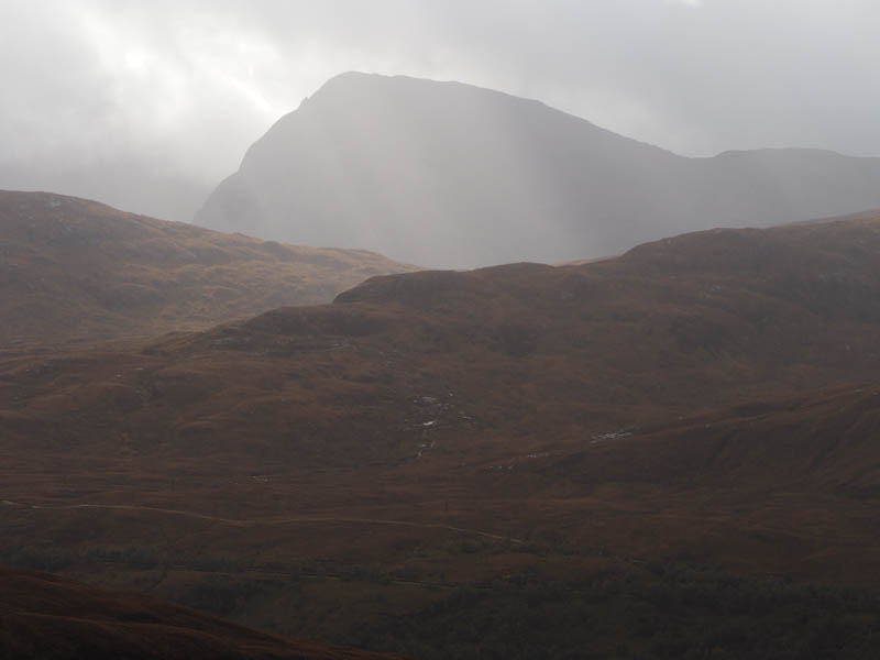
From this bridge I climbed through heather, grass and bog onto Meall na Duibhe arriving there during another shower and in windy conditions. The summit of this Hump was marked by a cairn. Nearby was a solar panel, a small wind contraption and an aerial.
I stood at the summit with my back to the wind and rain waiting for it to ease but gave up and descended directly into this unpleasant condition. Lower down the rain ceased although there were more showers to come. I reached and crossed a path then descended to the Allt na h-Eilde with the intention of crossing it to make a more direct return to the car park. However the crossing was a bit too risky so I returned to the path and took the long way back. This entailed following the path south then down a winding path to join the one to and from Blackwater Reservoir. This led to Kinlochmore and a short walk through the village to the car park.
- Time taken – 5.75 hours.
- Distance – 13.25 kilometres.
- Height climbed – 800 metres.