The start of this walk was the minor road north-west of the village of Moinaive positioned on the A702 Dalry to Thornhill Road. I parked beside the new communications tower at Craigenbeast (NX71599479) after negotiating the numerous pot holes several of which had been filled with loose stones.
I walked a few metres south-east, crossed a cattle grid, then left the road and climbed north-east up the side of the forest.
Initially it was through some dead grass then the gradient increased and it was hard work through dead bracken and large boulders interspersed with a few trees.
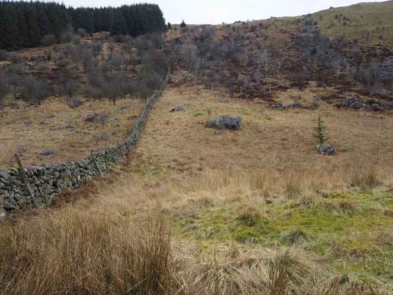
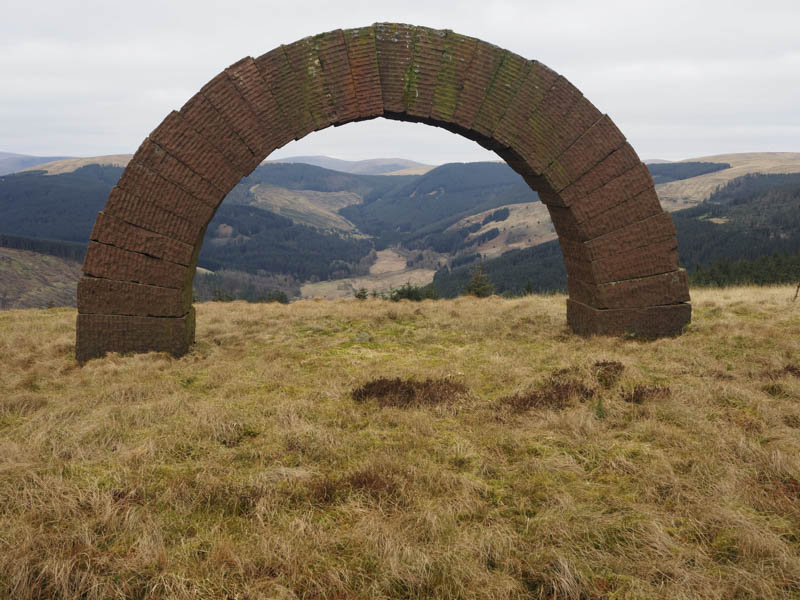
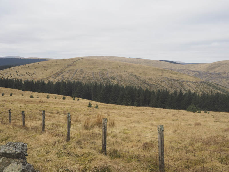
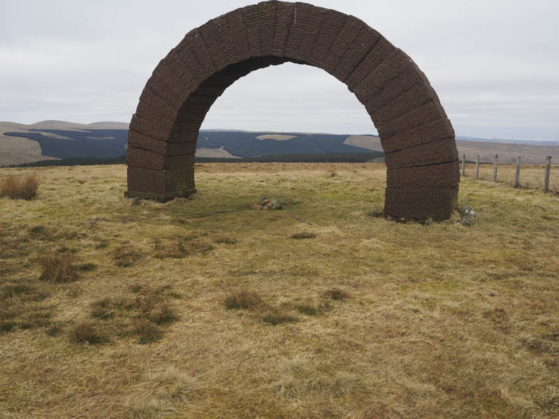
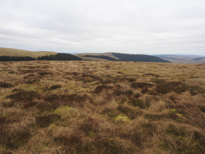
The gradient later eased and I followed the forest boundary north with a slight loss of height before climbing onto Bail Hill with its Striding Arch.
There was another slight loss of height before ascending the Hump, Green Hill, the highest point being south of the dyke and fence.
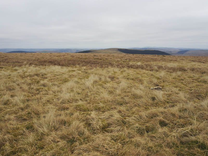
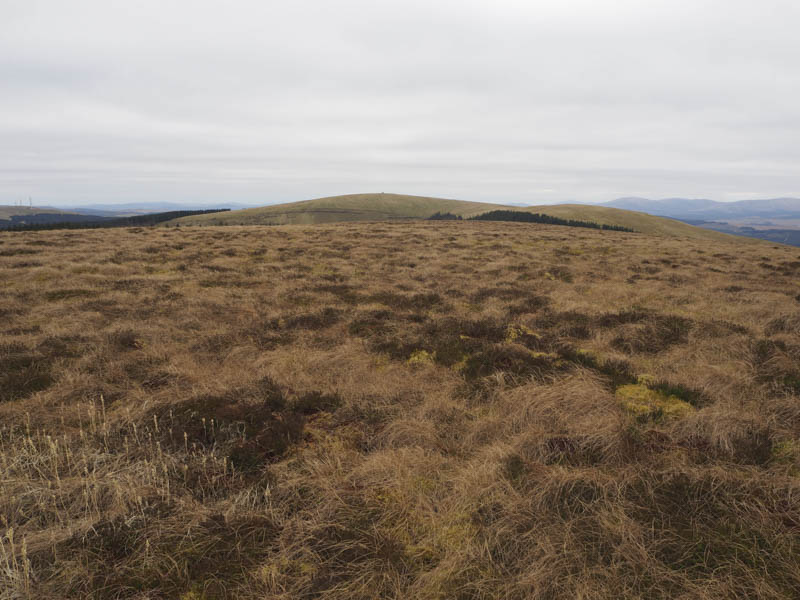
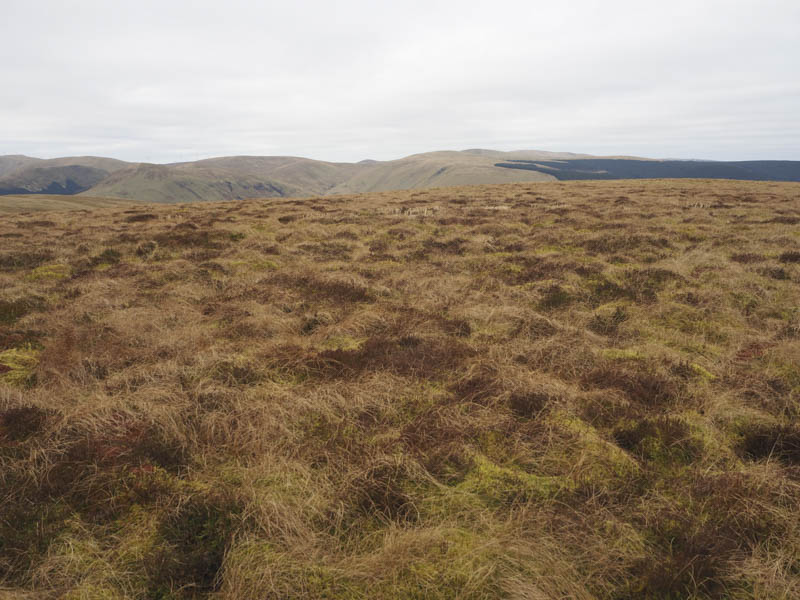
The dyke and fence was then followed north over Transparra then to a gap between mature trees and a cleared area south-east of Mullwhanny.
I negotiated some damp ground around the col before ascending the Tump, Mullwhanny, the highest point being south-west of the dyke and fence.
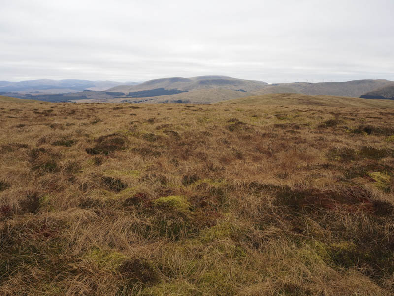
I descended north-west still following the dyke and fence and hoping for a gap in the trees, which there was. A slightly steeper drop led to the col with Blackcraig Hill and I could see that the route ahead was blocked by a few trees. Once beyond the col I came across the first lot of these mature firs but was able to walk round, climb over or go under them. The next few trees were lying across each other making it impossible to proceed. I entered the younger fir trees to the east and with difficulty pushed my way through the branches of these closely growing trees before returning to the firebreak with a couple more fallen trees to cross.
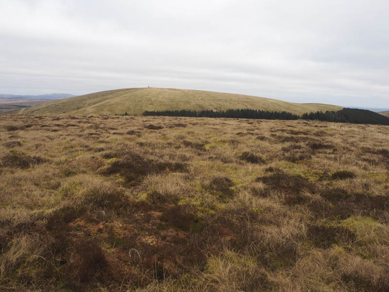
Once above the tree line I went north-east with a plan to climb the Tump, Lamgarroch, but underfoot the vegetation was tussocky and time was marching on so I abandoned that idea and headed for the Marilyn, Colt Hill, visiting the trig point, ground to the ENE which was the highest point, and the Striding Arch.
I then descended west on some ATV tracks to cross a forest track, not on my map, and ascend Black Hill, the latterly stages were through short tussocky ground. The highest point of this Tump wasn’t obvious.
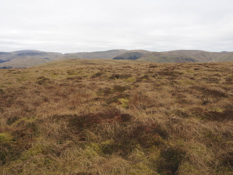
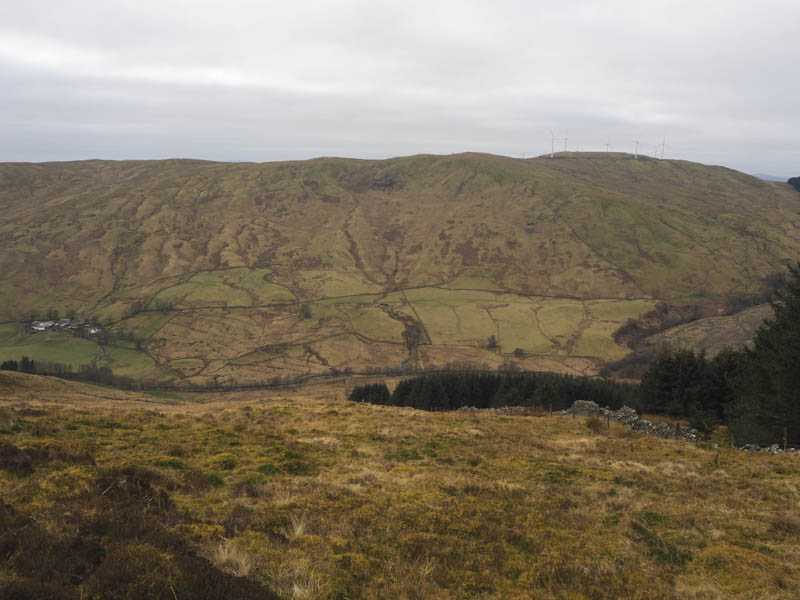
The return was to the unmapped forest track which I decided to follow. It initially descended south then swung round to the west following the contour of the hillside before turning south-east to cross the Fingland Burn via a bridge and to the cottages at Blairoch and Benbuie. The tarred road was then followed back to Craigenbeast.
- Time taken – 5.5 hours.
- Distance – 16 kilometres.
- Height climbed – 710 metres.