I headed north up the A9 Inverness to Thurso Road to north-west of Dornoch where I left the main road and headed along the Birchen Road passed the Harriet Plantation to the access road leading to the house at Londornach. Parking was a problem so I ended up on the verge adjacent to a passing place a few hundred metres to the south-east.
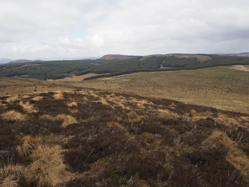
I walked back along the road then west passed Londornach and to a stock gate with a sign stating I was entering a conservation area and to stick to the tracks which wouldn’t be possible if I climbed my intended hills. Once round this gate I continued west then north-west towards Loch Lannsaidh. Prior to the track descending to this loch I left it, went through some wet vegetation, then it was an easy ascent of Creagan na Moine. The highest point of this Tump was a small knoll. Nearby there was a memorial plaque to a George Hughes.
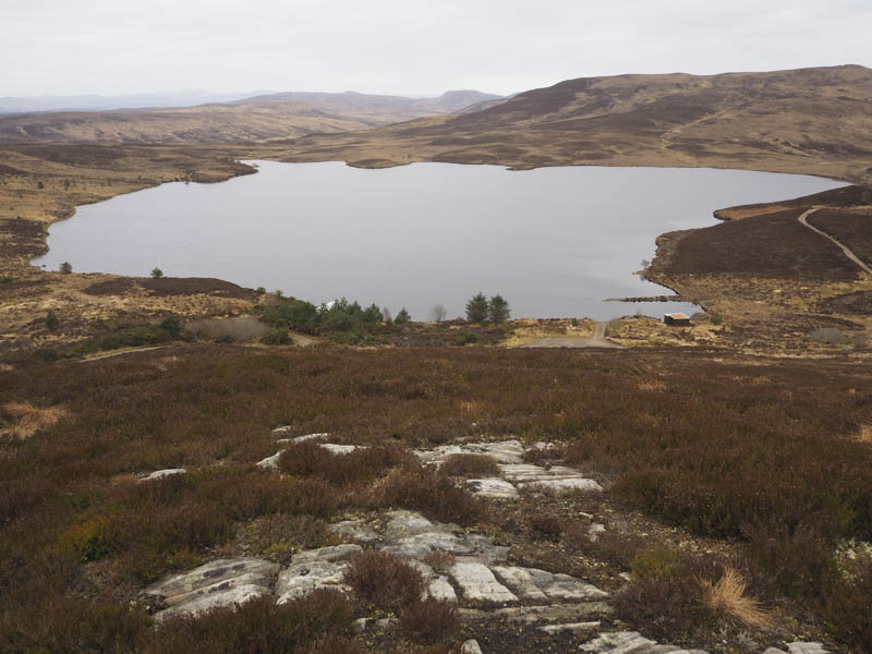
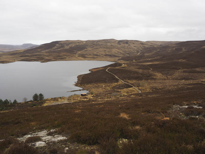
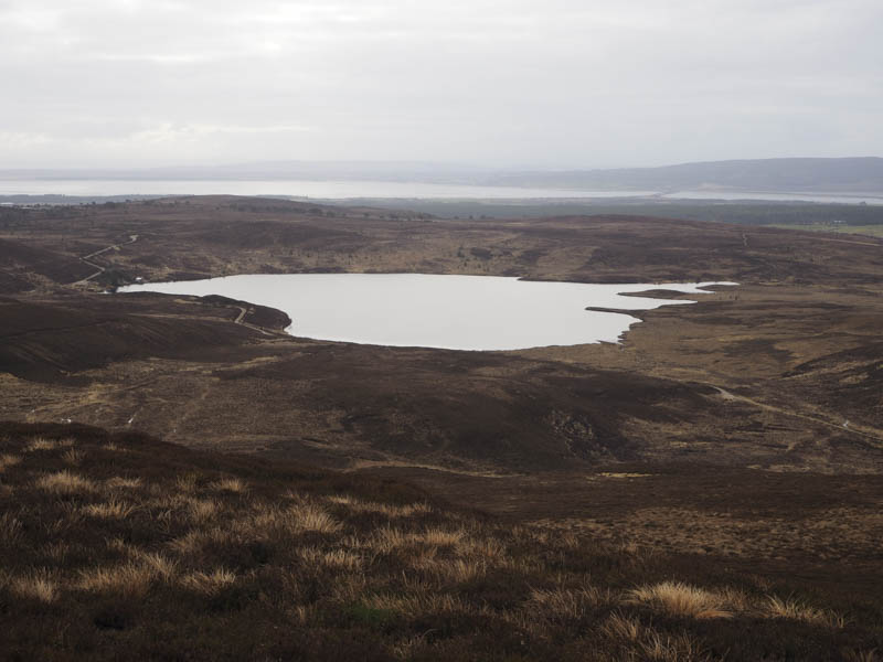
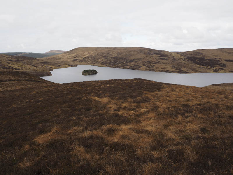
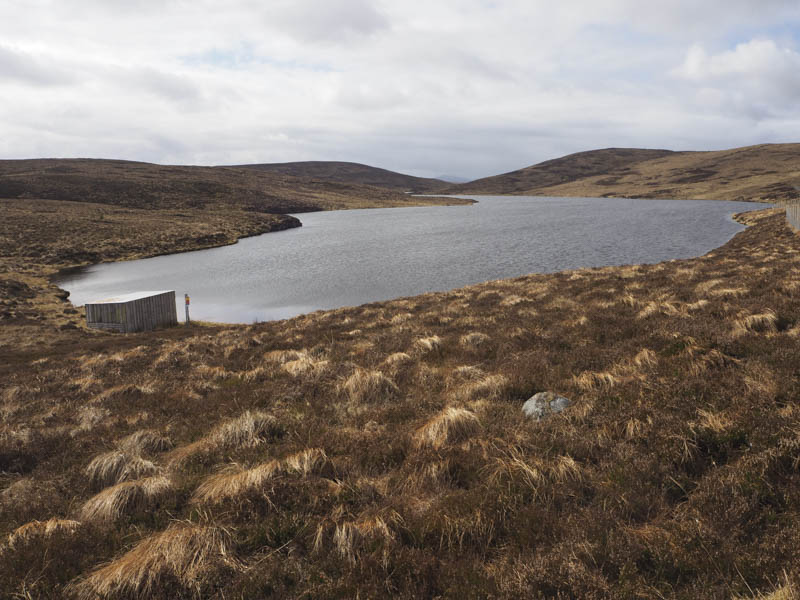
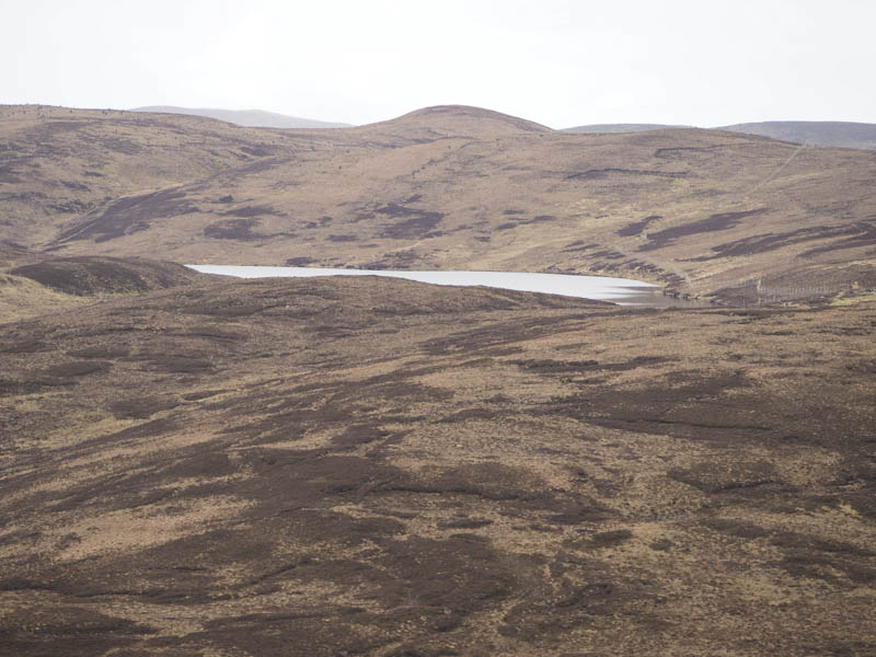
The descent north-west was steeper and through long heather and led to the east side of Loch Lannsaidh where I rejoined the vehicle track. It was followed round to the north side of the loch then north-west later steepening to reach the outflow from Loch Laoigh. Prior to this point I climbed east, initially on deer tracks, onto the summit of Meall Loch Laoigh. The highest point of this Tump was just some heather. There was a cairn nearby but it was lower. Beside it was a ceramic jug with a grouse imprinted thereon. Strange!
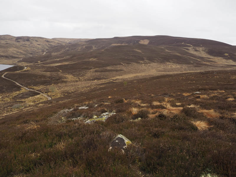
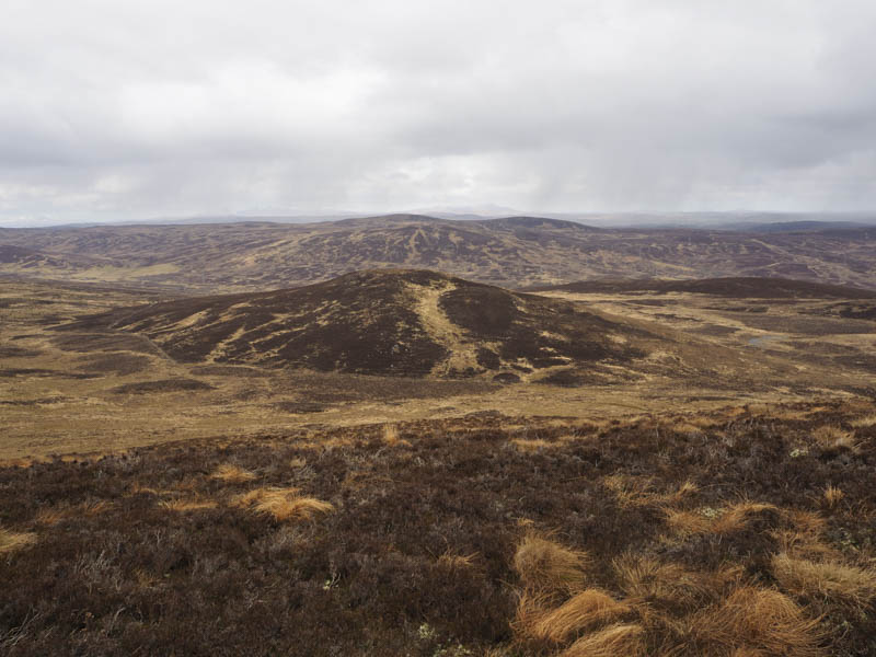
On returning to the outflow I spotted two female runners arriving at the end of the track and after a couple of minutes they about turned and headed back downhill. I crossed the outflow via a small metal bridge beside the dam, climbed west initially on a boggy and wet ATV track, then through rough vegetation onto the summit of the Tump, Creagan Dubh, visiting both highpoints, which were just clumps of heather.
The descent north was to a wide boggy col and from there I climbed to the summit of the Tump, Meall an Eoin. There were two knolls, the north one was possibly higher, but the ground between them was very wet and boggy and forced me into a retreat and a short detour.
I then descended north to a deer fence heading for what appeared to be a gate but turned out to be wooden slats which were a bit awkward to cross as the lower slats were covered in rabbit wire. Once across, it was a short walk to Maolanaidh Mor, the highest point of this Tump being a flush outcrop. Here I encountered the only shower of the day, a mixture of sleet and snow.
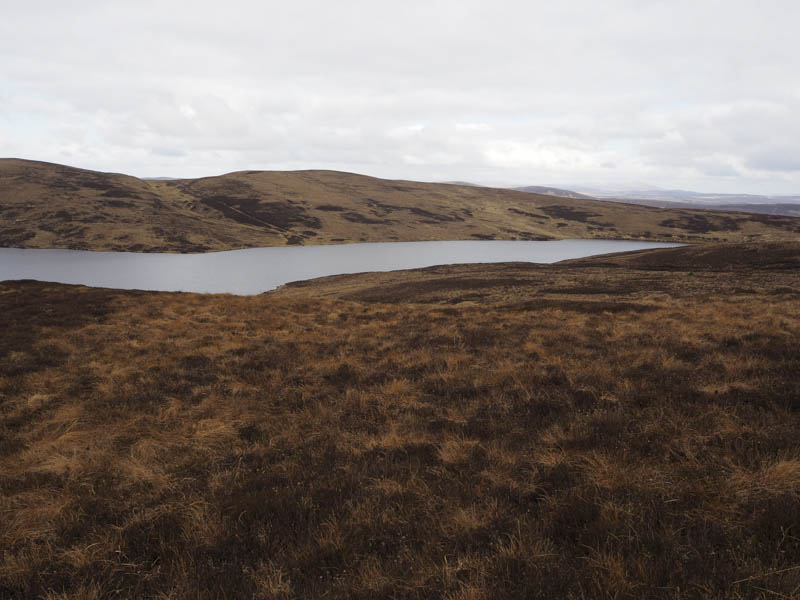
After sitting out this shower I returned to the deer fence and initially followed it east then on deer tracks and through rough vegetation below Meall an Eoin to the north-east corner of Loch Laoigh where there were a couple of gates in the deer fence, one being for walkers.
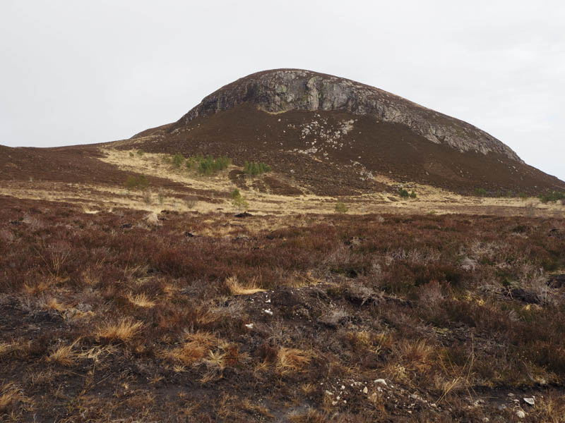
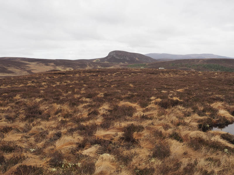
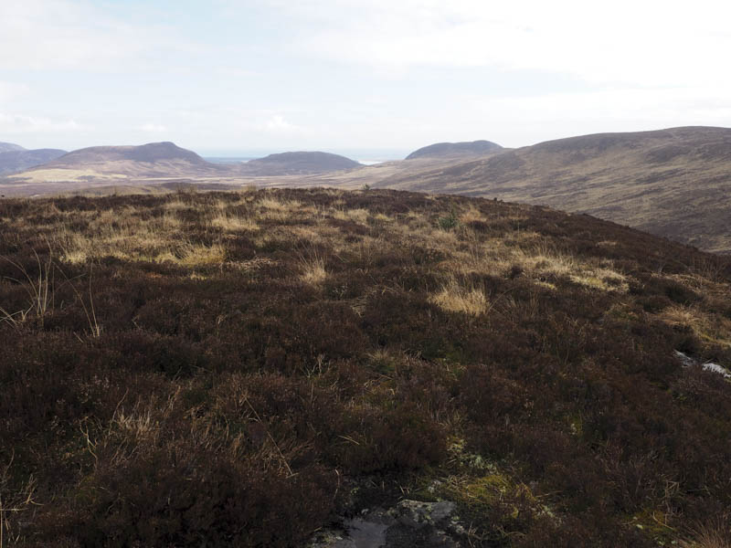
Here a vehicle track headed south-east to below Ben Tarvie. There were a few deer fences and gates in this area and at one of the gates I left the track and crossed an area recently planted with trees. The numerous holes dug for these trees made it a bit tedious but led to the foot of Ben Tarvie where I joined what appeared to be an old stalkers path which gradually climbed north avoiding the cliffs. I then climbed through heather and to the summit of this Tump which was ground to the north-west of the cairn.
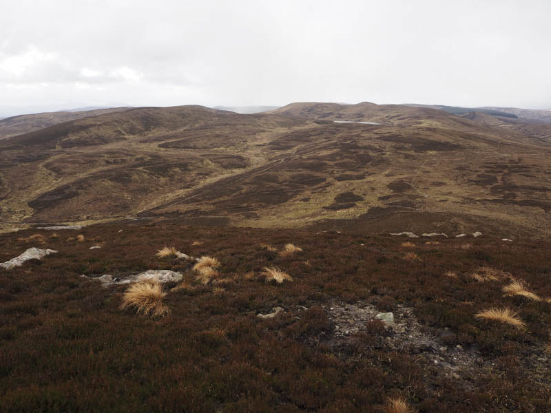
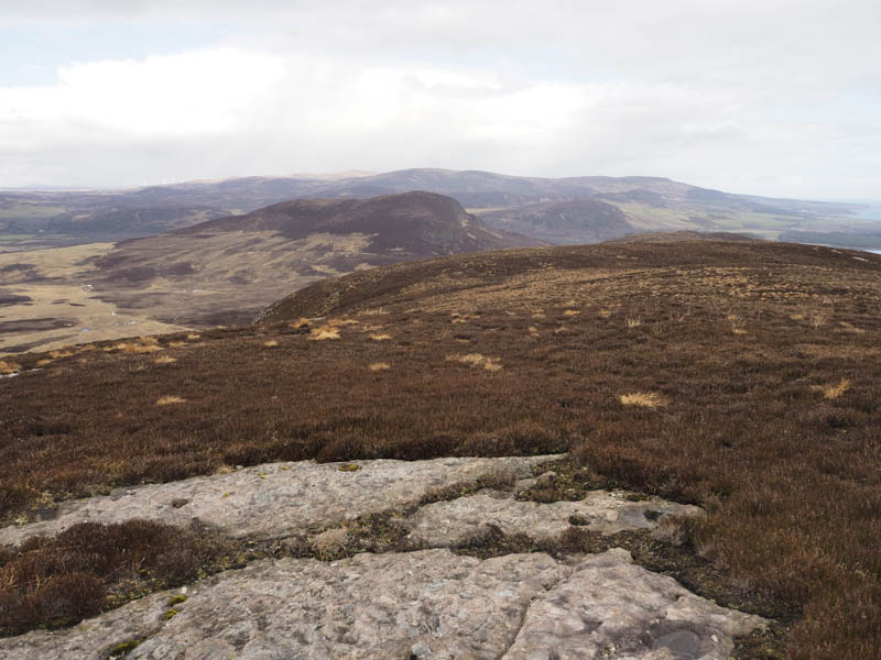
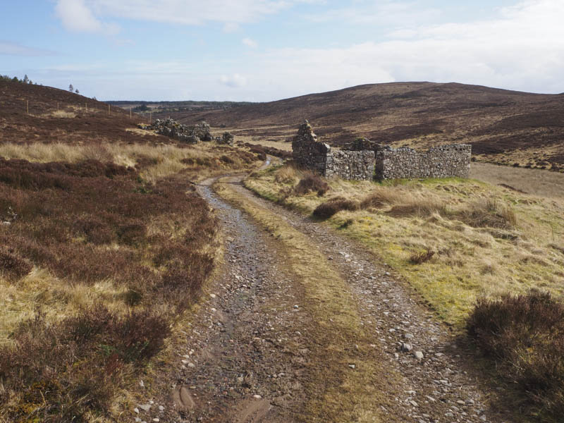
I had a lunch break here taking in the views then returned to the vehicle track which was followed south-east to rejoin the road at Clashnagrave. It was then mainly an uphill walk south-west of over a kilometre back to my car.
- Time taken – 6 hours.
- Distance – 15.5 kilometres.
- Height climbed – 575 metres.