I parked on an area of rough ground on the south side of the B8077 west of the bridge over the Allt Mhoille, reached from the A85 west of Dalmally, and in the rain set off along the vehicle track towards Castles Farm.
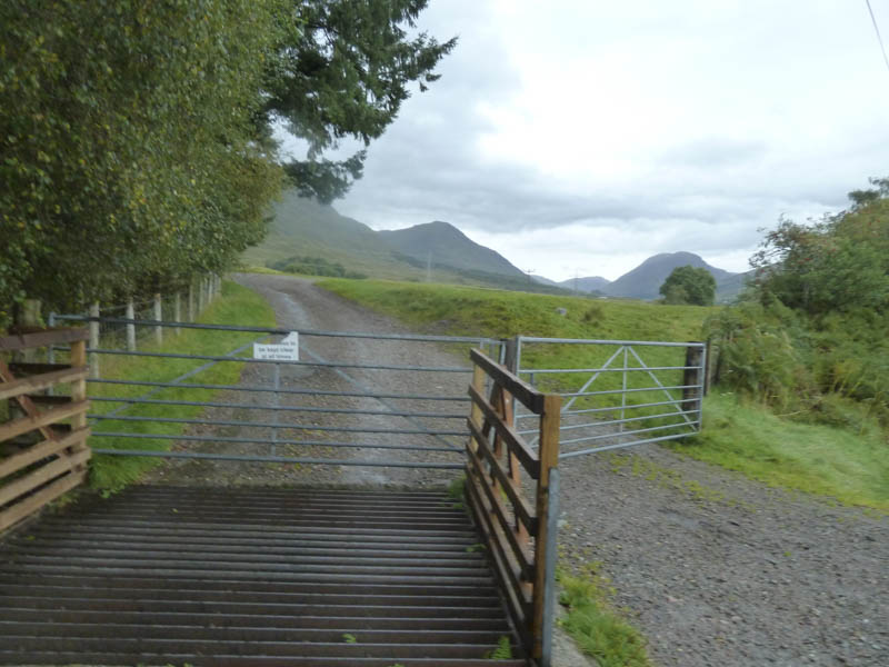
Prior to reaching this farm I took the track going north-west high above the Allt Mhoille. There were a couple of gates to pass through before the dog, I had for company, and I reached the open hillside.
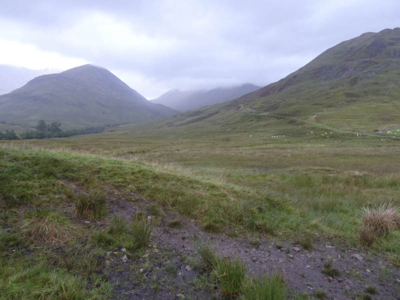
There were lots of sheep and some cattle around. After crossing the Allt Lairig Ianachain I spotted two Highland cows walking down the track towards us so took to the hillside to avoid them before rejoining the track.
At a junction I went right and after a short walk along this track a small cairn marked the start of the walker’s path up Beinn a’ Chochuill’s South-East Ridge. It was wet and rather windy here and at times I lost the line of the path. I gained the East Ridge where the wind was gusting slowing progress. Eventually I reached the cairn marking the summit of the Munro, Beinn a’ Chochuill.
I about turned and descended the East Ridge. On approaching the col with Beinn Eunaich the rain briefly ceased so I found some shelter from the wind for a bite to eat before continuing to the col.
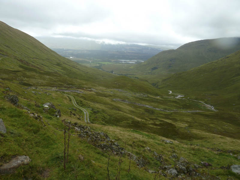
In wind and rain I followed the path up Beinn Eunaich’s West Ridge and on reaching the summit of this Munro headed down its South Ridge. Lower down I emerged from the low cloud. Prior to reaching Stob Maol the path dropped steeply into the glen and was badly eroded so I avoided it and found my own route to the vehicle track above the Allt Mhoille. On regaining this track I followed it back to the start although I was briefly delayed by a shepherd and his five dogs rounding up some lambs.
- Time taken – 5.25 hours.
- Distance – 13.5 kilometres.
- Height climbed – 1285 metres.