En-route to Newtonmore I stopped off east of Dunachton Lodge to climb a few hills to the west. The roads layout on my map had changed since a section of the A9 had been upgraded to dual carriageway so my starting point was the B9152 Aviemore to Kingussie Road, south of Kincraig, where I managed to get my car off the road.
I walked along the access road to Leault Farm where visitors can view working sheepdogs, in fact after passing under the A9 I was overtaken by a tourist bus heading for the farm. Beyond the underpass I took a left along a tarred road signposted Dunachton. I later left this road, passed the house at Old Mill, to reach a ‘T’ junction and a bit further on a gate in a deer fence. After this gate the estate road passed through a birchwood onto the open hillside.
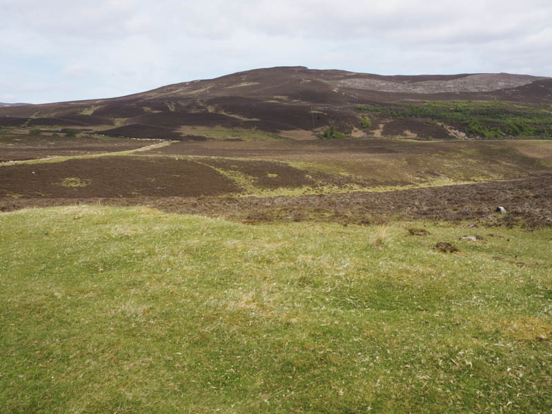
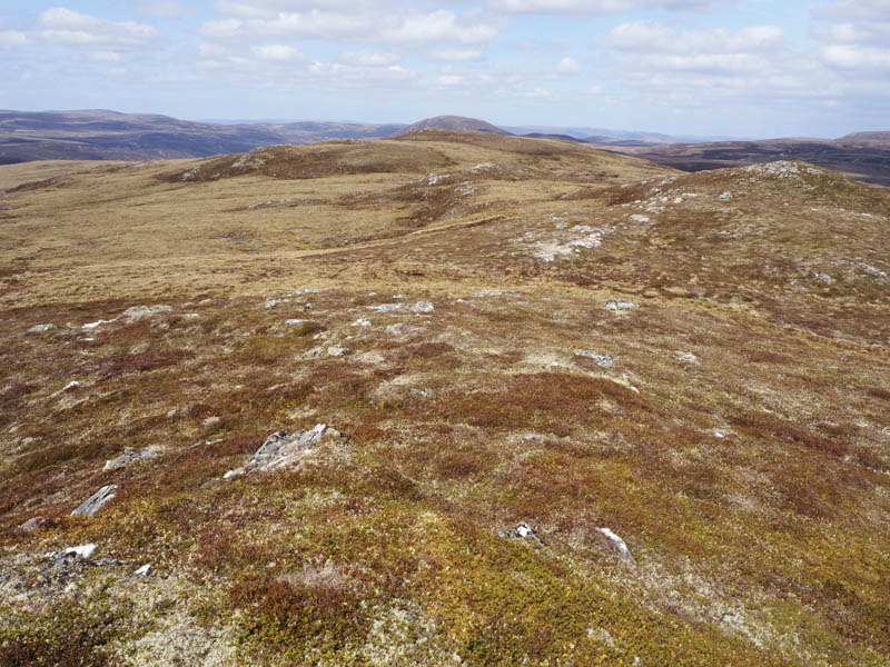
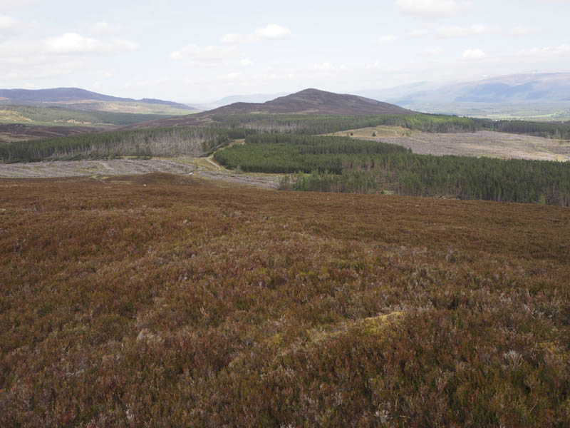
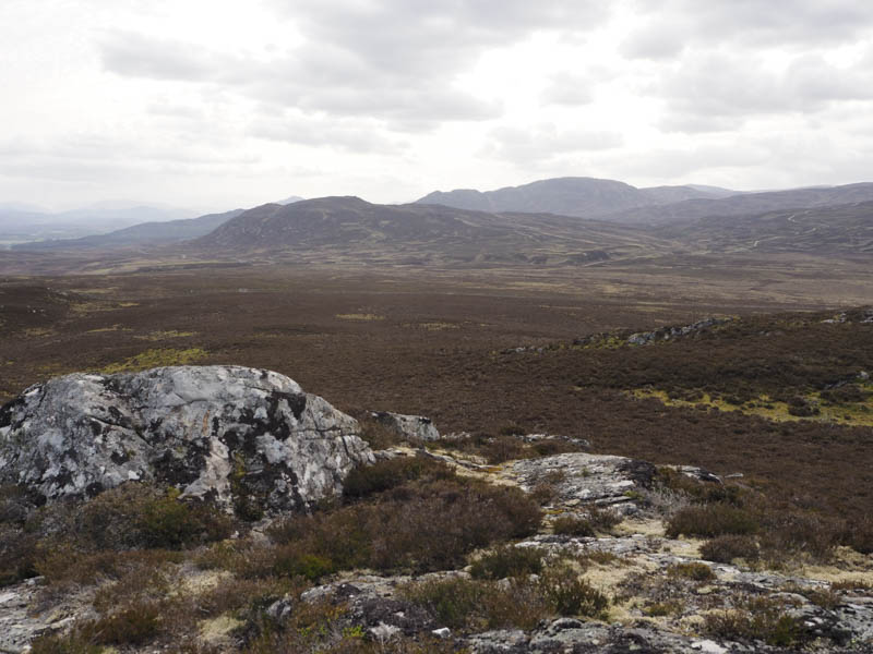
The track turned north and joined another track coming up from Leault Farm. I crossed this track to reach another gate in a deer fence and once through it there was some fairly steep heathery ground although I used a grassy rake which made the climb easier. Once the grass ended dense heather was encountered before coming across a path that rose up from the east. The summit of the Hump, An Suidhe, was a rock slab NNW of the cairn.
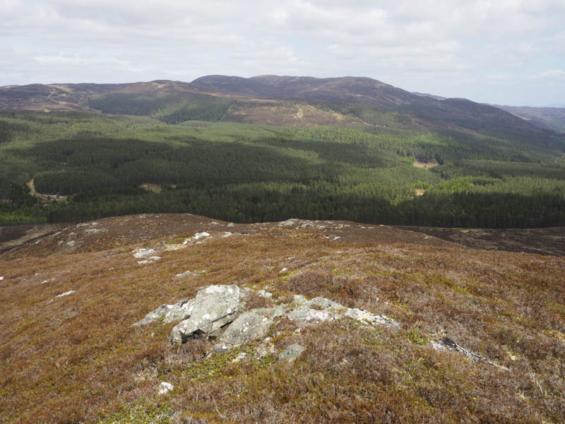
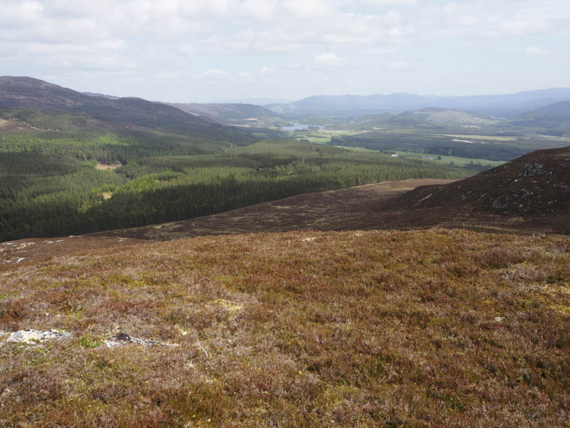
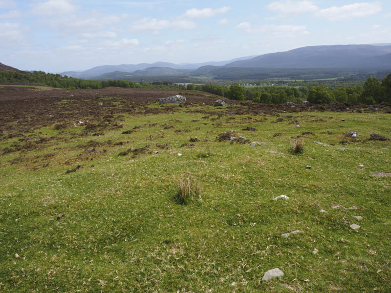
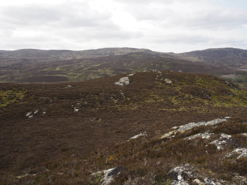
I rejoined the path and descended north-west but lower down the path become indistinct but took me towards a gate in the deer fence and back onto the estate track. After a short dip in the track it was a steady climb north to its highpoint and here I left the track and walked west through heather to the summit of the Sub Simm, Cnoc an Tiumpain North Top. Both highpoints, the outcrop and small cairn, were visited as apparently they were the same height.
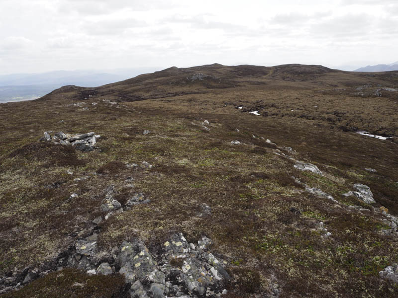
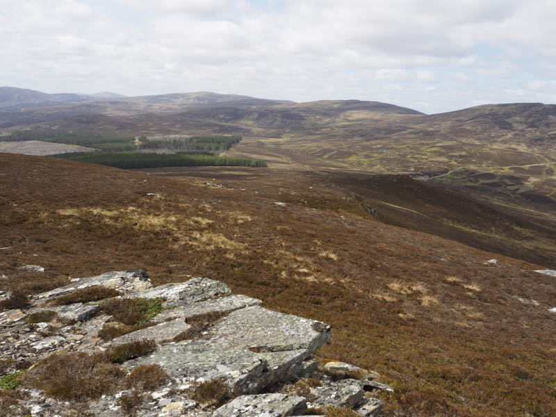
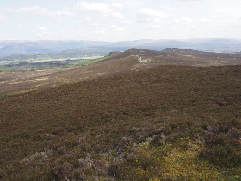
The descent south took me through some peat hags, mostly dry, and onto the summit of the Hump, Cnoc an Tiumpain, marked by an outcrop.
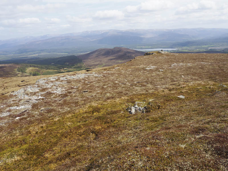
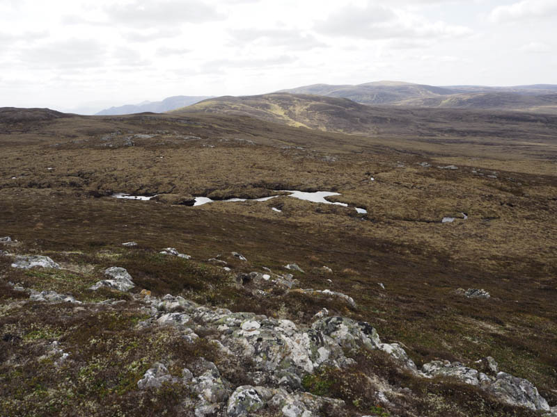
From there I descended south-west through more peat hags before heading west and climbing the Hump, A’ Bhuidheanaich, marked by a cairn.
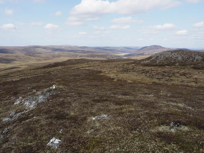
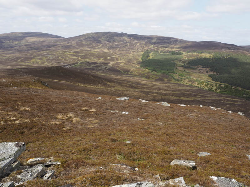
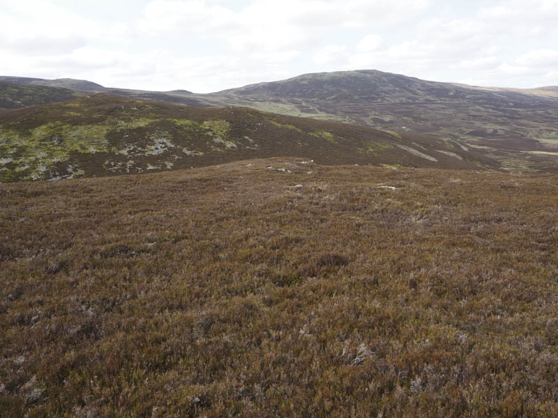
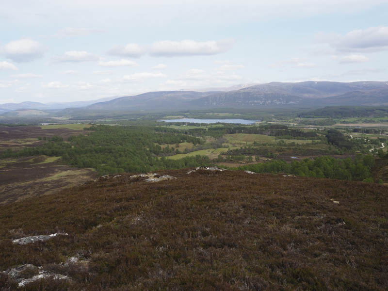
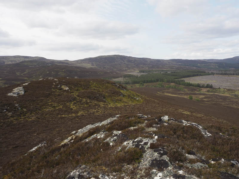
A Graham Top, Meall a’ Chocaire, was located to the south-west but I was running out of time so I descended south-east, initially easy going across rough grass, but lower down heather and tussocks were crossed before climbing the Sub Tump, Carn Allt na Baranachd, marked by a large cairn.
The descent south was fairly steep then it was through heather, avoiding the rocks, and onto the cairn marking the summit of the Tump, Creag Righ Tharailt.
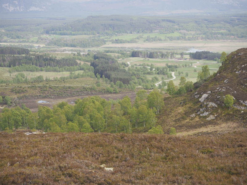
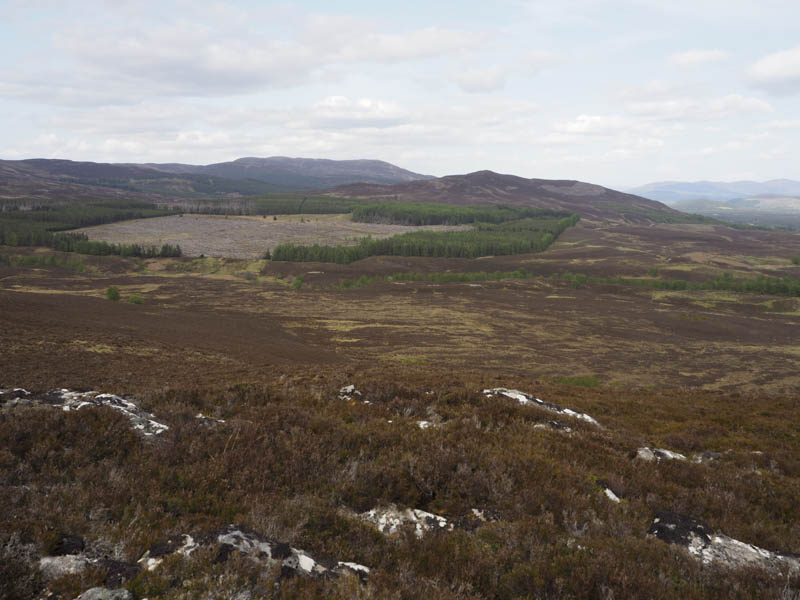
I descended east across long heather to reach a grassy track which took me through fields of sheep to Dunachtonmore Farm. The farm road led to the tarred road beside Dunachton Lodge which in turn took me back to my starting point.
- Time taken – 6.25 hours.
- Distance – 19.5 kilometres.
- Height climbed – 895 metres.