I parked beside the houses at Balnaglaic, accessed via a single track road from Balnain on the A831 Drumnadrochit to Cannich Road in Glen Urquhart. I walked north-west along a vehicle track, passed a few houses then went through a couple of stock gates now heading north. This little used grassy track ran between stock fences and was marshy with reeds and boggy in sections. It took me to a bridge over the Allt a’ Bhaile Uachdaraich then over an angled damaged stock gate to the vehicle track beside the house at Achratagan.
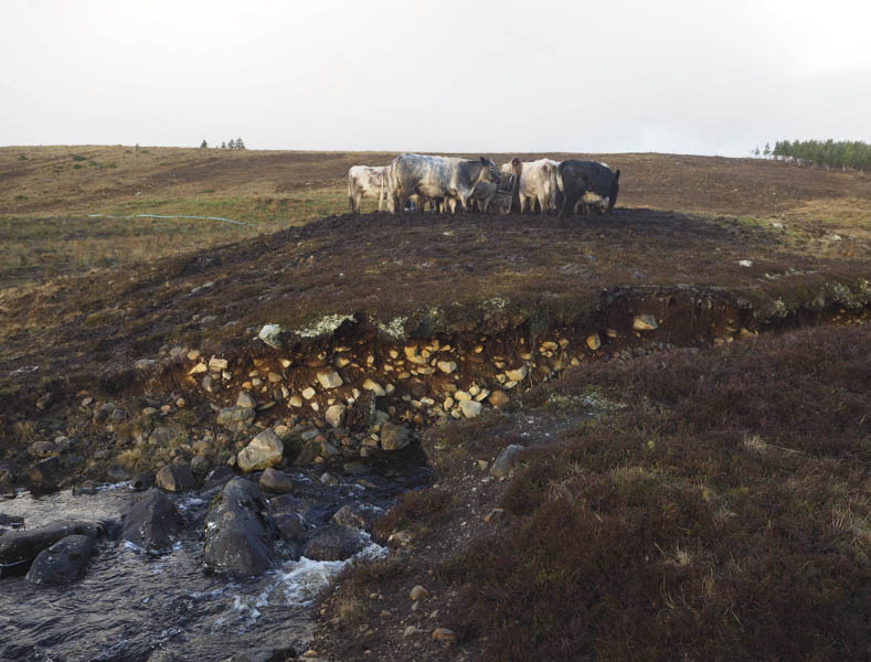
This track was followed north then north-east passed a junction where there was a Scottish Water Reservoir. Further on the track was a bit muddy and appeared to be used by cattle. I spotted them feeding from a trough and on getting closer the mud was ankle deep. I left the track and worked my way round this area to the west, re-crossing the Allt a’ Bhaile Uachdaraich before heading along the edge of a fence to a stock gate. Although close to the cattle we were separated by the stream flowing through a shallow gully.
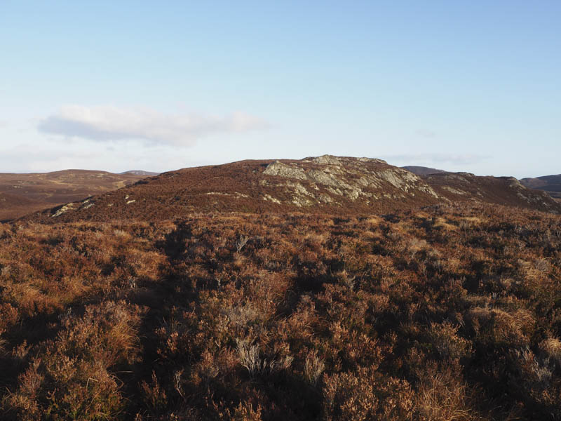
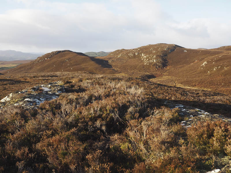
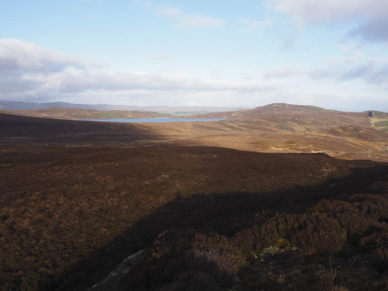
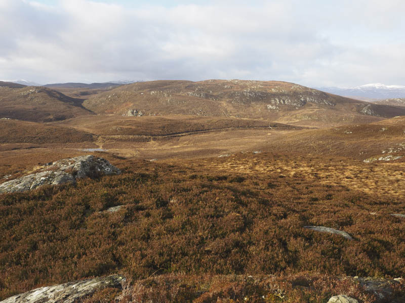
Beyond this gate paths through the heather to the west of Creag a’ Chatha took me onto Creag Bhan.
The highest point of this Tump was probably some heather or an outcrop. I did check out the north-east tops but they were probably lower.
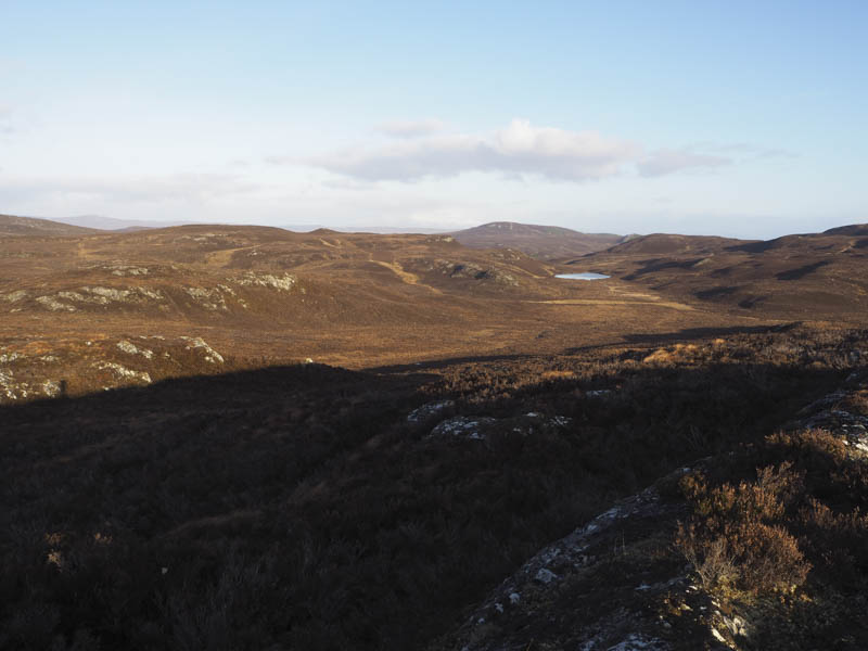
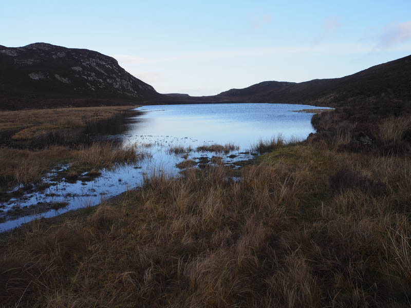
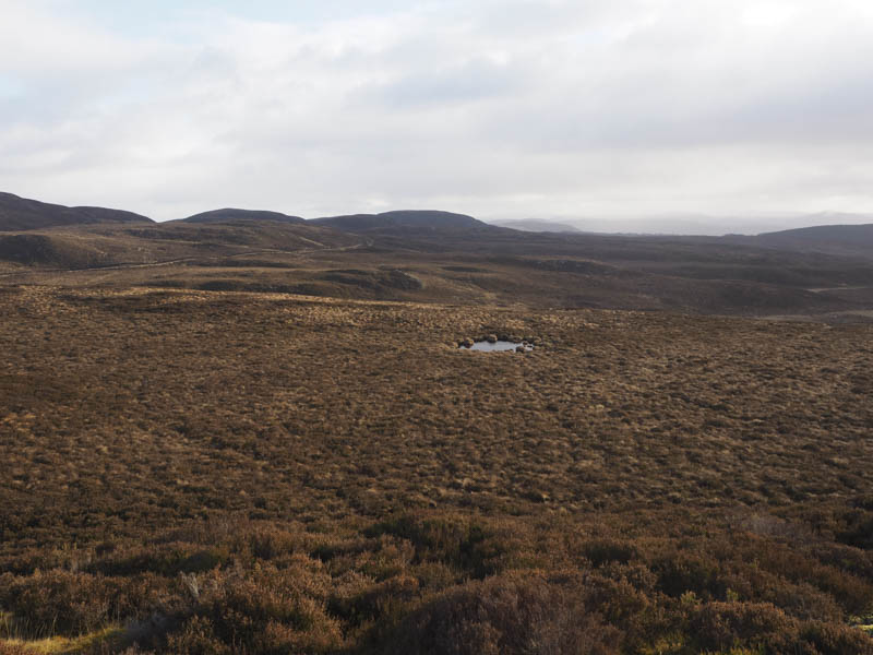
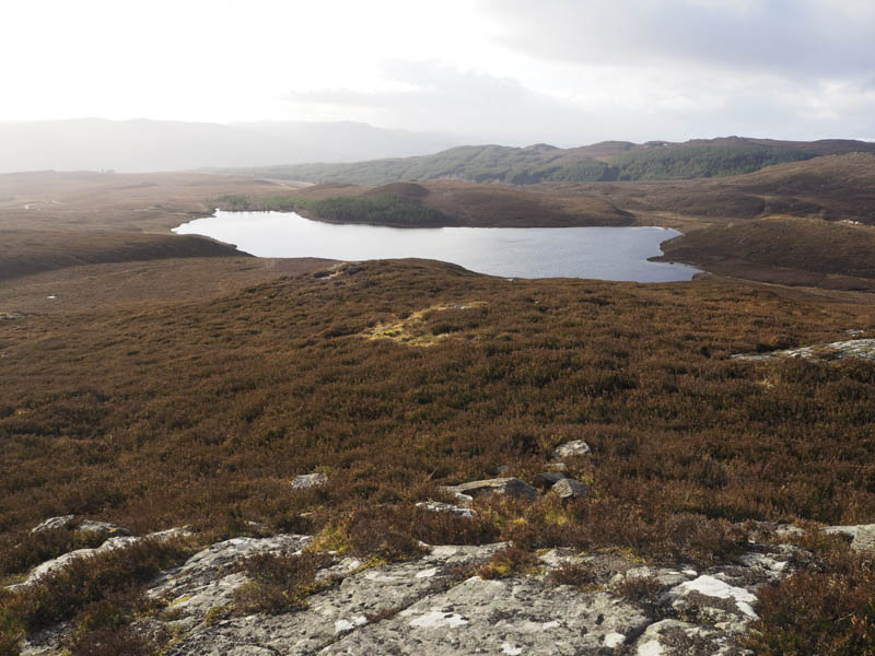
The descent was to the south end of Loch nan Tunnag but I was unable to cross the lochs outflow, the Allt Leiter an Lochain, due to its width and being slow moving. It was also covered in reeds.
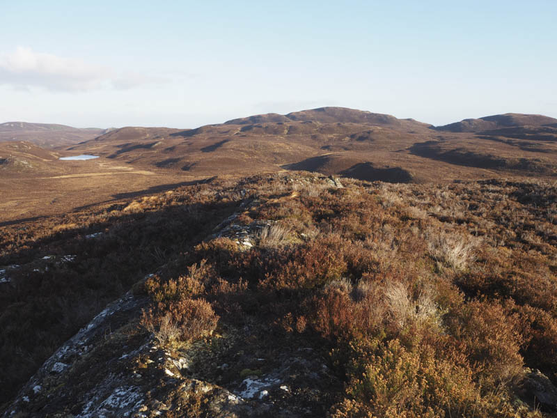
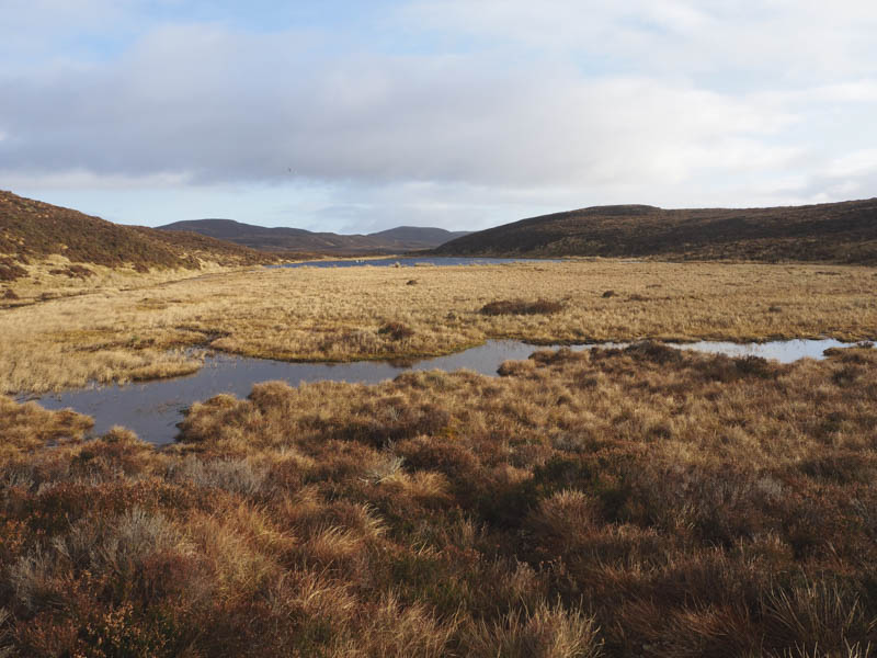
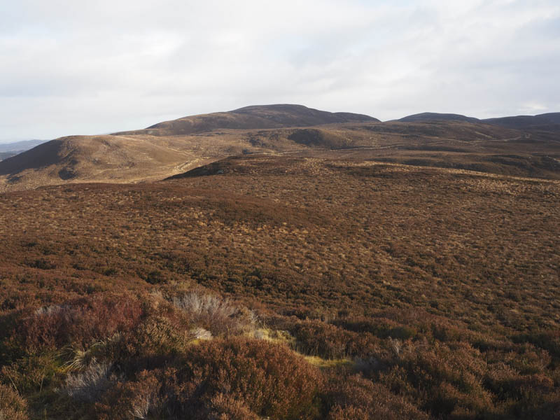
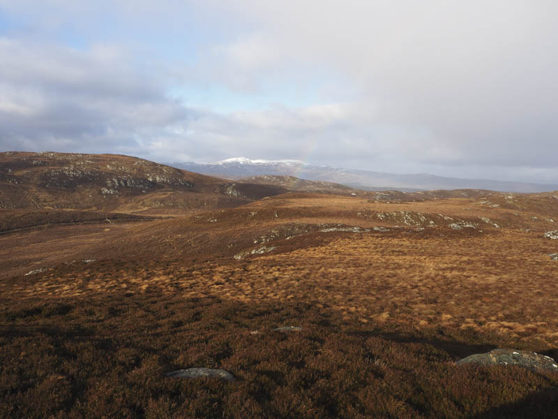
I walked downstream until I came to a suitable crossing point then climbed north through longish heather before heading towards Loch Fada Dubh. (May have been better descending to Loch Bad nan Earb) The area to the west of Loch Fada Dubh was swampy so I had to keep well to the west before climbing onto the south-west ridge of Carn an Sgumbain North-East Top.
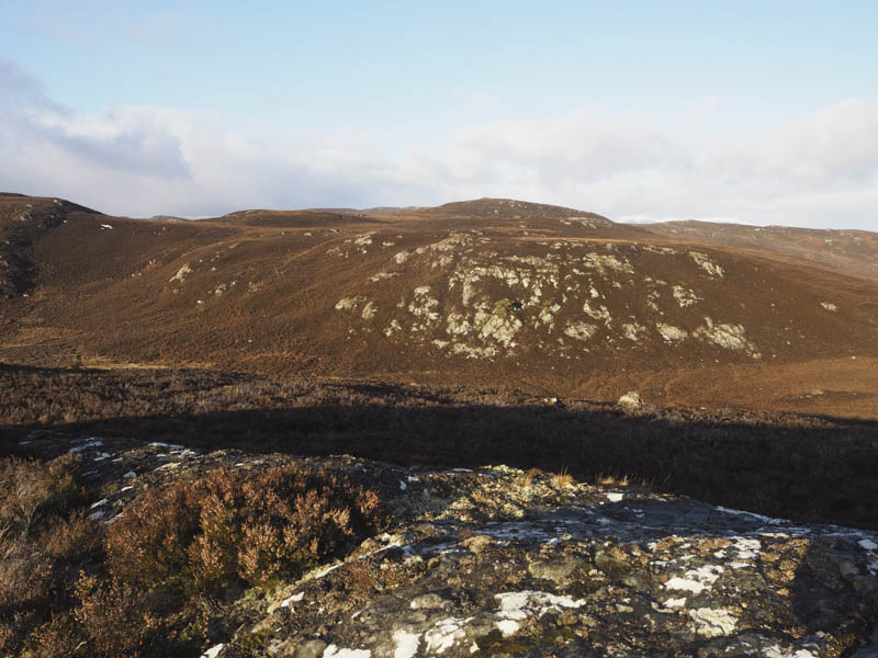
The highest point of this Tump was probably some grass or heather. I did explore the knoll to the north-east but they appeared lower.
From the North-East Top I descended south-west through heather and tussocks keeping to the north of a stock fence and some rocks to gain the north ridge of Carn an Sgumbain. I then climbed onto the highest point of this Tump, a cairn on top of a rock.
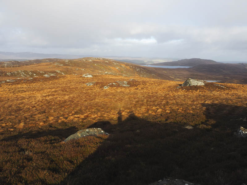
The descent south was through more heather to an ATV track, which was wet in places with pools of water. This track to the west of Lochan an Tairt joined a vehicle track around 500 metres south of the lochan. The track was followed south to beside the Scottish Water Reservoir from where I returned to my car via the outward route.
- Time taken – 4.5 hours.
- Distance – 11.25 kilometres.
- Height climbed – 325 metres.