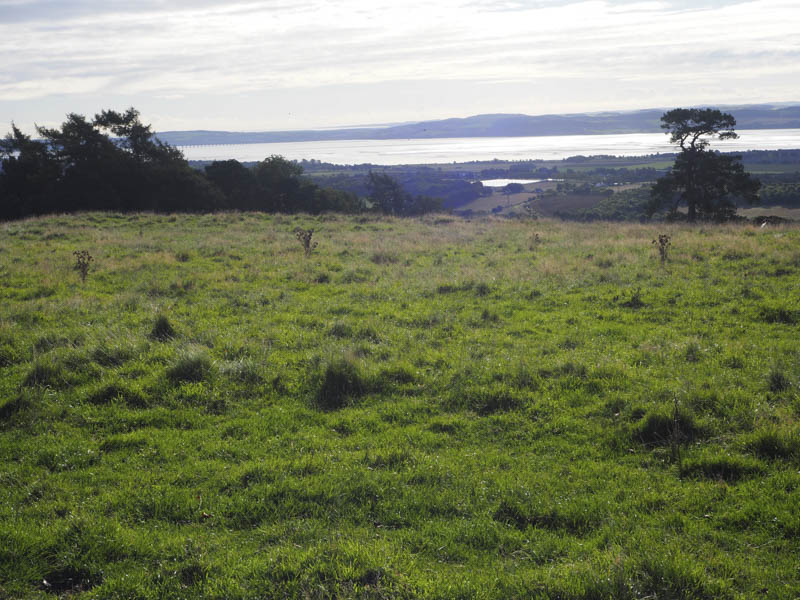
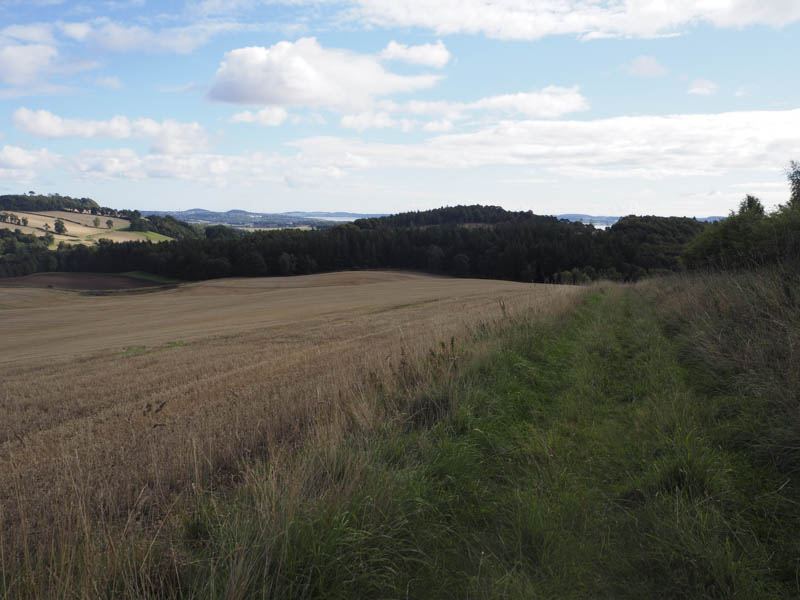
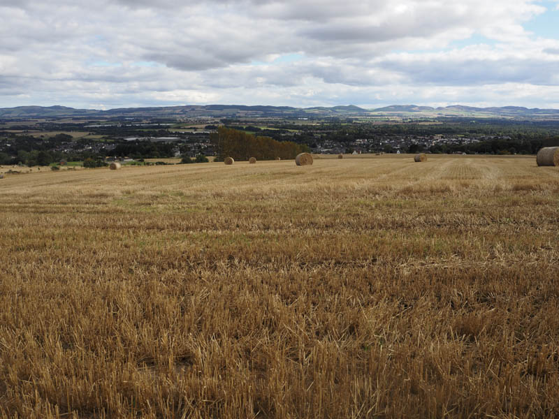
Gallow Hill – This hill, located north of the City of Dundee and south-west of the hamlet of Balgray, turned out to be my final Angus Tump. The start of this walk was the unclassified road to the east of Gallow Hill where a vehicle track led to Hillhouses. However there was no suitable place to park so I left my car to the north beside an unused gate and walked the 600 metres or so back uphill.
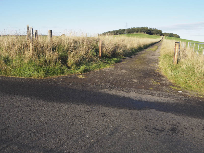
I then walked east along the vehicle track which at one time had been tarred. On reaching the woodland there were several fallen trees and some old fencing so I walked back east for a few metres, entered a grassy field, and walked up the edge of the trees. I then crossed a mixture of poor quality fencing including a few barbed wire strands to reach the highpoint of Gallow Hill which was within the woodland and beside some old structures.
The return was by the approach route.
- Time taken 30 minutes.
- Distance – 2.25 kilometres.
- Height climbed – 45 minutes.
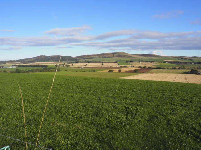
Dron Hill – Located north-west of Longforgan on the A90 Perth to Dundee Road I accessed Dron Hill from the minor road to the east managing to get my vehicle off this road at the bend north of Millhill. I then walked north-west along a vehicle track passing through some trees and into a grassy field containing sheep. It was then a steep climb, the gradient later easing after crossing a stock fence topped with barbed wire. It was then a short walk to the old fort. The highest point of this Tump was within this area but wasn’t obvious.
I then reversed the route back to my car.
- Time taken – 25 minutes.
- Distance – 1 kilometre.
- Height climbed 100 metres.
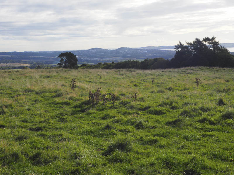
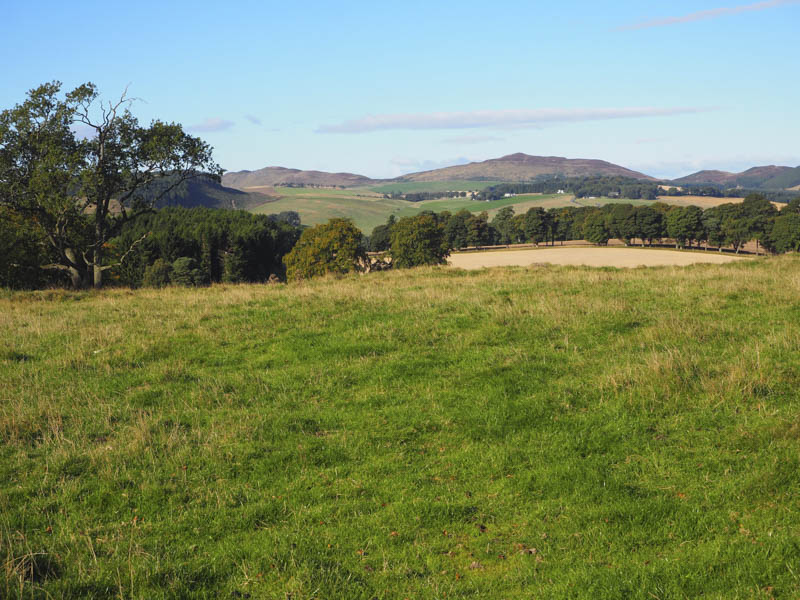
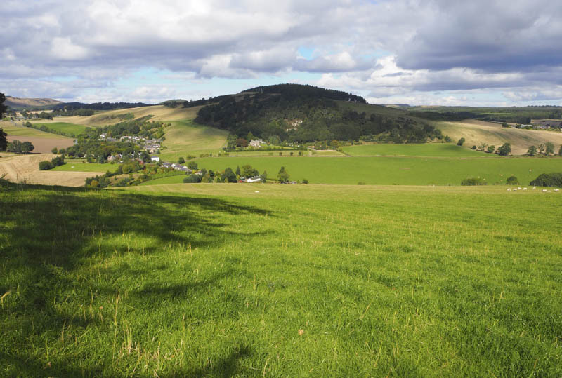
Rossie Hill and Kirkton Hill – These two Tumps were located north of Inchture on the A90 Perth to Dundee Road and east of Abernyte on the B953 Inchture to Balbeggie Road. I left my vehicle in the Abernyte Church car park, to the east of the village, and walked the few metres east to West Lodge then along the vehicle track through the trees towards Castlehill, losing a bit of height. On reaching the track going north I followed it gaining some height but higher up it was blocked by fallen trees so it was a bit of a wonder through the wood avoiding these obstacles to gain the summit of Rossie Hill located beside an old fence.
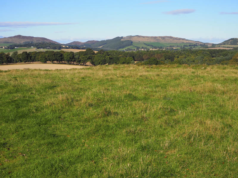
I had planned to return to the church then climb Kirkton Hill but with the fallen trees I decided to make a more direct approach. I therefore descended west through the trees and an area that had been felled before entering a field where the potatoes had recently been lifted. I crossed this field and a section of an adjoining stubble field to reach a little used track which led to the minor pubic road at the junction with the private road leading to Kirkton.
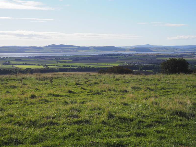
I walked north-west up this recently re-tarred private road to beyond the properties at Kirkton then along an overgrown vehicle track to a field containing cattle, all bar a calf were lying down. I walked up the edge of this field with the cattle watchful of my presence but they didn’t move. This took me to another gate and to the woodland where a path through the vegetation and trees led to the summit of Kirkton Hill. There were a few fallen trees here but the highest point was apparently beside an upright tree so I visited a couple of points.
I returned to Kirkton, the cows were now on the move but away from my route, and to the minor public road which was followed back to the church car park.
- Time taken – 1.5 hours.
- Distance – 4.75 kilometres.
- Height climbed – 225 metres.
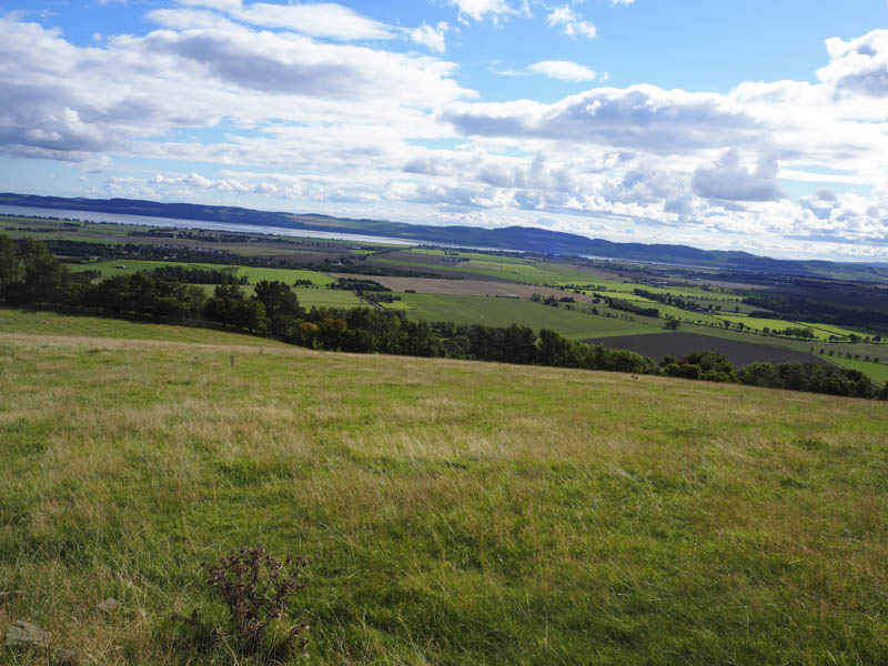
Tinkletop Hill – I left my vehicle in the Antiques Centre car park located on the north side of the B953 Inchture to Balbeggie Road south-east of Abernyte and walked briefly north-west along this road before entering a field containing potatoes which hadn’t yet been harvested.
I followed the route used by tractors before crossing a stock gate and entering a field containing sheep. I walked up the edge of this field to a junction of fences and once over the stock fence I was in another field but this one contained cattle which were obviously aware of my presence. I gave them a wide berth and continued south to the stock fence enclosing a copse of trees then walked south-west along the side of this fence. Beyond the trees the stock fence was replaced by a deer fence and I continued along its north side crossing a couple of stock fences with electric wires. This took me into a small wooded area where the highest point of the Tump, Tiinkletop Hill, was beside a small quarry.
I returned to the field containing the cattle but they had moved away so I was able to make a more direct descent to the sheep field then back to the start by the outward route.
- Time taken – 1 hour.
- Distance – 2 kilometres.
- Height climbed – 95 metres.
Knowe Head – This hill was located east of the A93 Perth to Blairgowrie Road and north of the village of Guildtown. I left my car north of Myreside and at the start of the vehicle track leading to Knowehead Farm. I walked west to and through Knowehead Farmyard and onto the trig point. I then returned to my car. It appeared to me that the highest point of Knowe Head, a Yeaman, was somewhere around the farmyard.
- Time taken – 20 minutes.
- Distance – 1.5 kilometres.
- Height climbed – 10 metres.
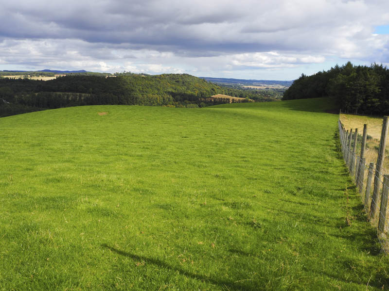
Craig Roman – I left my car on the minor road on the northern outskirts of Blairgowrie west of the Lornty Burn and walked west up the Cateran Trail which at this point was a tarred private road leading to East Gormack. On reaching the wooded area I followed the path through the trees to The Knockie Viewpoint where there was a seated area and a notice board regarding The Knockie. I then walked across an arable field, fortunately there were no crops growing, to the highpoint of the Tump, Craig Roman, located within the field.
The return was by the upward route.
- Time taken – 40 minutes.
- Distance – 2.75 kilometres.
- Height climbed – 85 metres.