I left my car on an area of rough ground on the east side of the access road to Ceannacroc Power Station and opposite the vehicle track leading to the comms tower. This was accessed from the A887 Bun Loyne to Invermoriston Road at Ceannacroc Bridge east of the A87/A887road junction.
I walked up the comms tower vehicle track which wound its way uphill initially in a north-westerly direction then west before finally north-east to the tower and its buildings. An area of grass just to the west was apparently an alternative highpoint for the Tump, Cnoc nan Ceann.
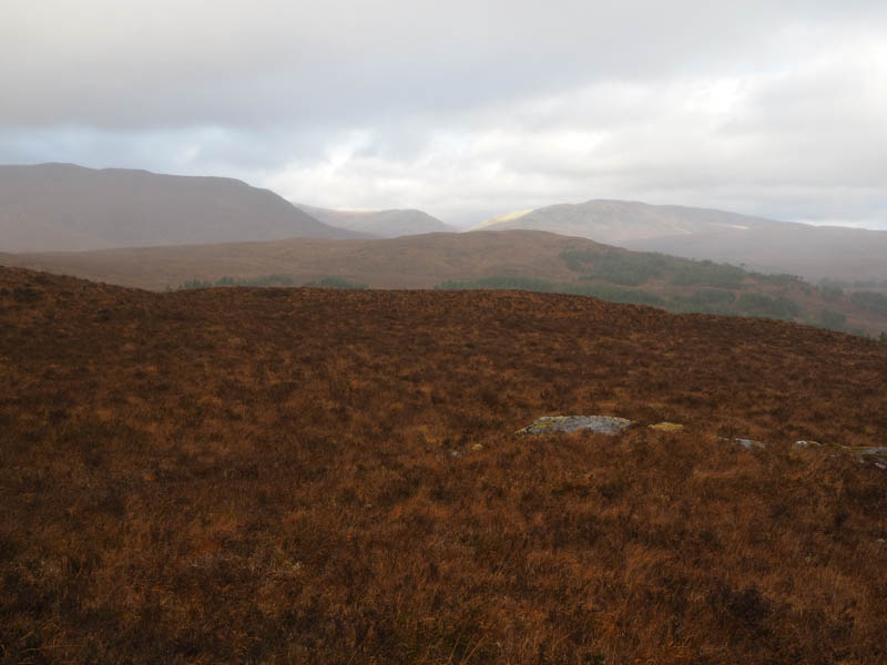
From there I headed southwest, crossed a deer fence then through heather to the summit of Cnoc nan Ceann.
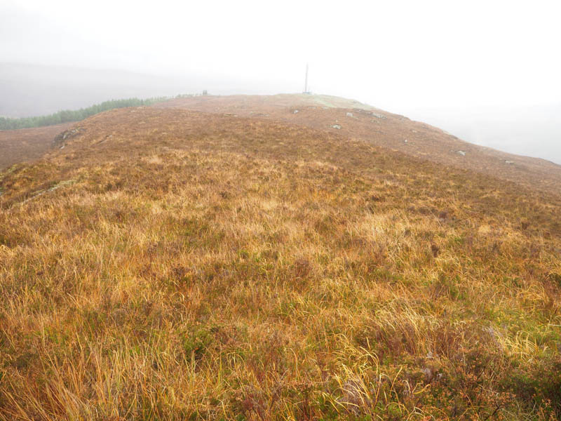
A short steep descent north-west led to the deer fence which was re-crossed. Then I went through some swampy ground before heading north to the Old Military Road, which wasn’t that obvious. I thereafter climbed to the summit of Meall Doire nan Caorach, the highest point of this Tump, was marked by a small rock.
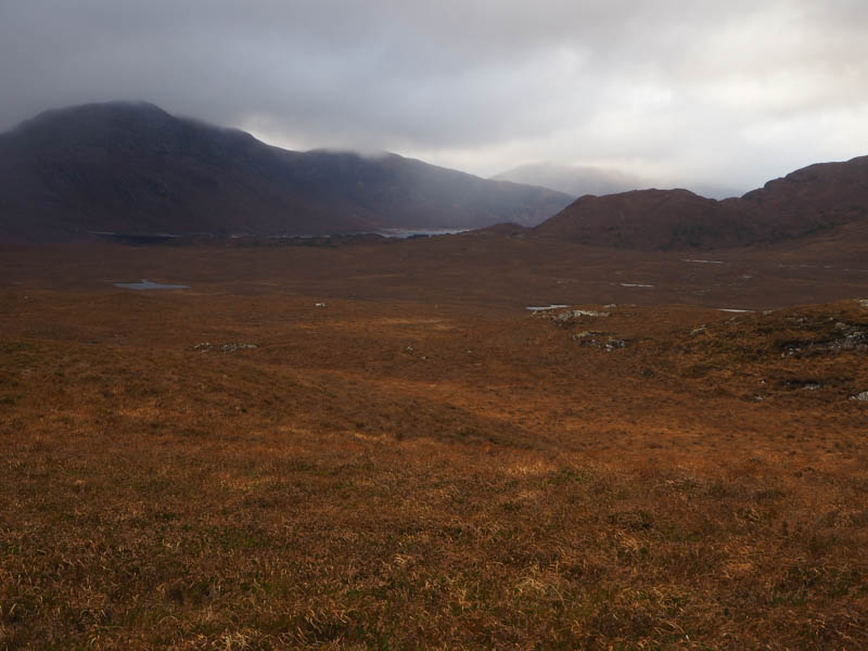
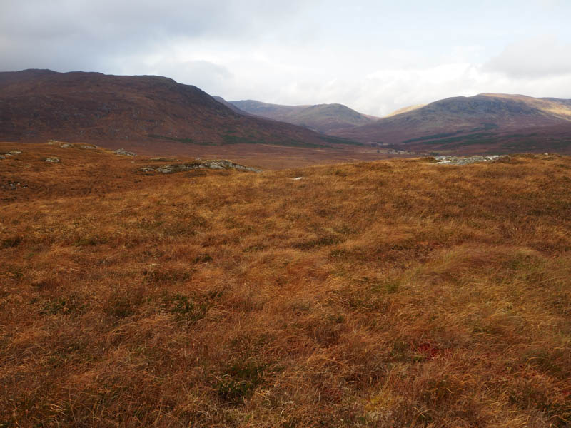
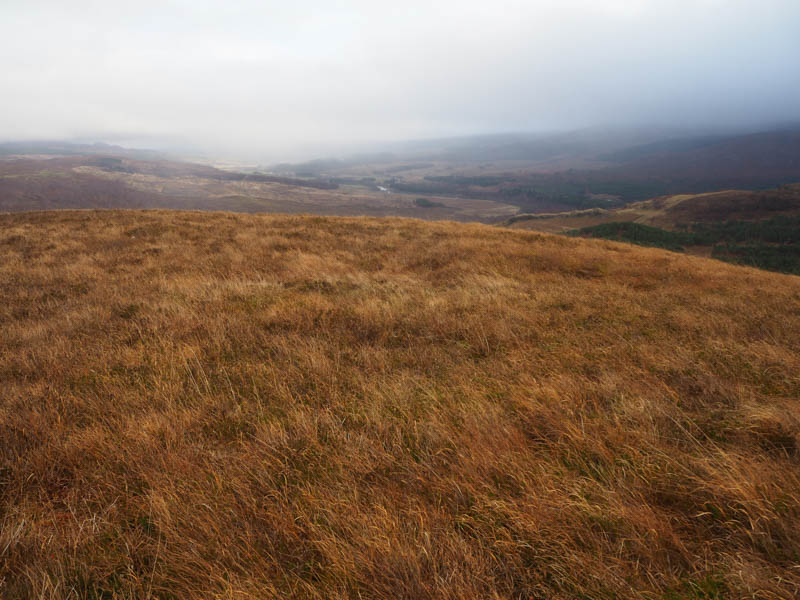
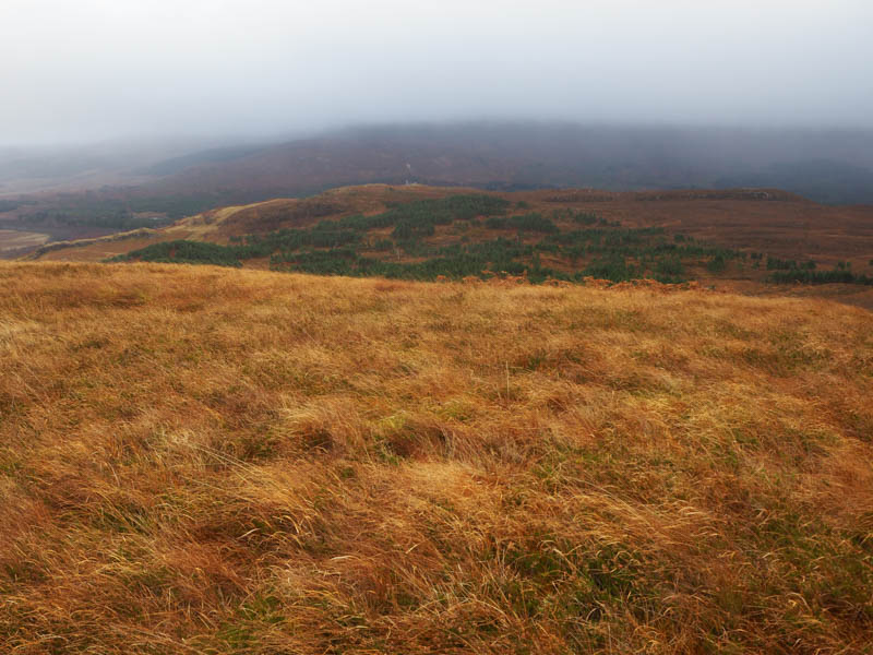
The descent SSW was through some dead bracken and back towards the deer fence. The area in the vicinity of a gate was churned up by the deer as the gate was insecure allowing them access to the forest. On this visit the gate was blowing in the wind.
The track, the Old Military Road, wound its way through the trees. At a junction I continued east, the track to the south went over Cnoc nan Ceann’s north-east ridge and would have meant more climbing. The east track passed through a few closed gates in deer fences and a field containing sheep, to reach the track north of Ceannacroc Lodge. This track soon became tarred, passed a few buildings, and went round the front of the Lodge. It then followed the west bank of the River Moriston to Ceannacroc Bridge. A short walk up the hydro road took me back to my car.
- Time taken -2 hours 10 minutes.
- Distance – 6.5 kilometres.
- Height climbed – 250 metres.