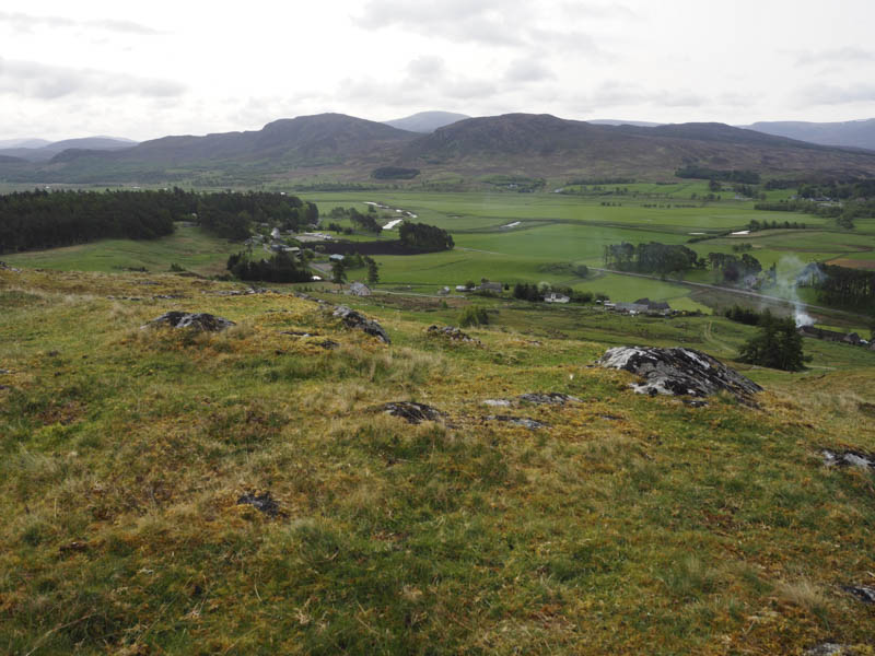
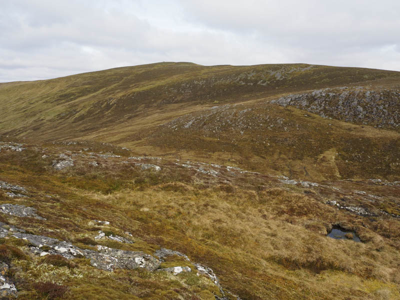
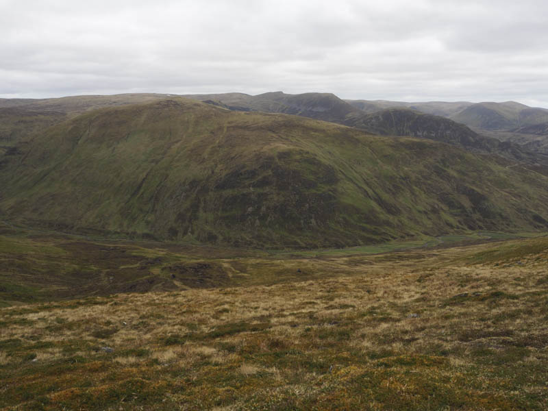
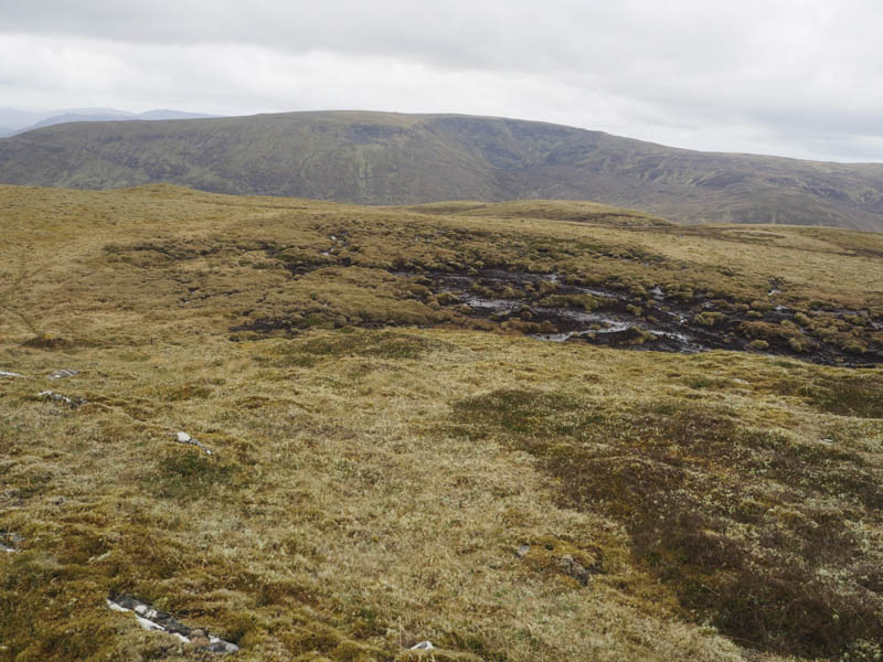
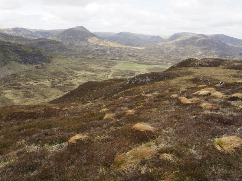
I left my car at the east entrance to the hamlet of Balgowan, just off the A86 Newtonmore to Laggan Road, and walked a short distance north-west passed a few houses and onto a path that led to a deer fence, part of the East Highland Way. The deer fence was followed through trees and onto open ground which was a bit boggy in places. I headed north-west onto the east face of Creag Bhile and to the rock slab marking the summit of this Tump. I also visited a couple of other highpoints which were potentially the same height.
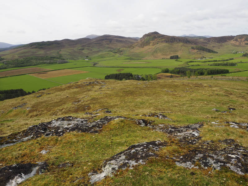
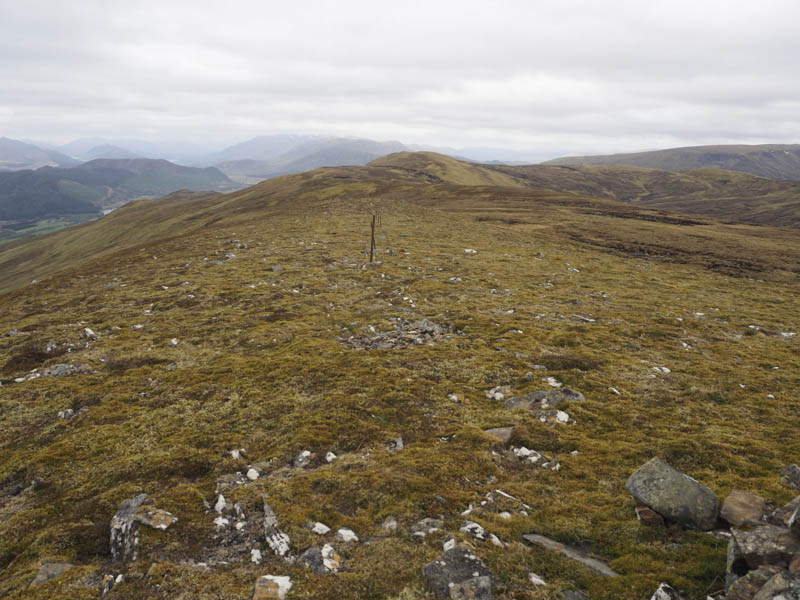
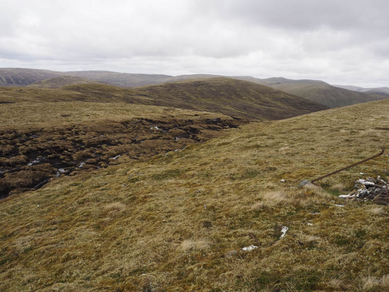
The descent north-west took me to the east side of a deer fence enclosing fir trees and into boggy ground with several bog pools. At a break between the mature trees and younger ones I walked through the fenced off gap and into a field badly churned up by cattle, making the climb north tricky attempting to avoid the mud. Beyond a gate in a deer fence I was into rough vegetation as I headed onto the south-west ridge of Meall na h-Uinneig. The going here was easy on short heather and led to the rocky summit where I visited both points of this Graham Top, there being no sign of a cairn.
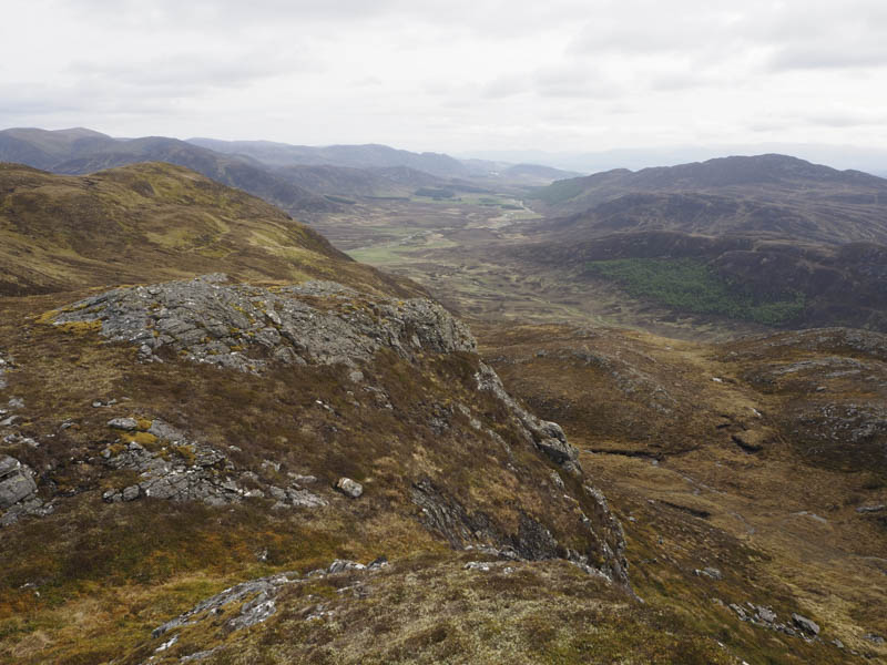
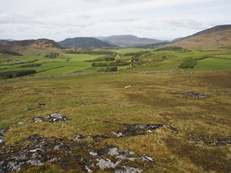
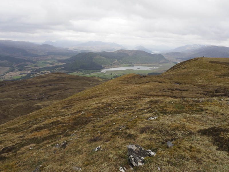
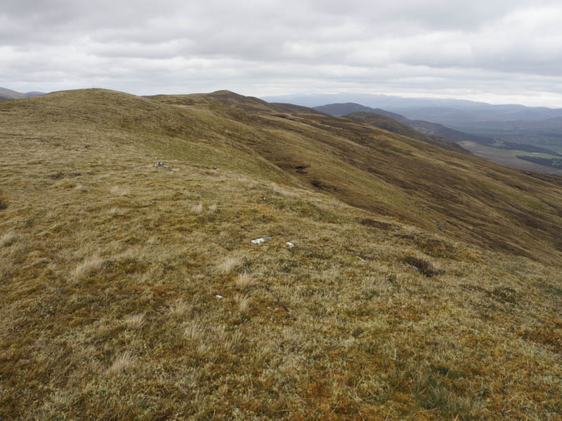
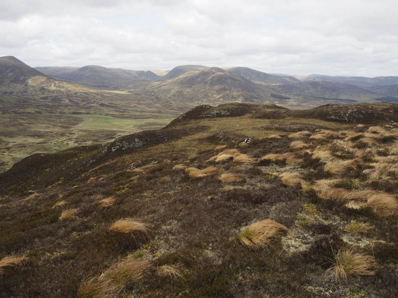
I then descended north and climbed onto the East Ridge of Marg na Craig and to the summit shelter. A flat rock beside it marked the highest point of this Corbett Top/Hump.
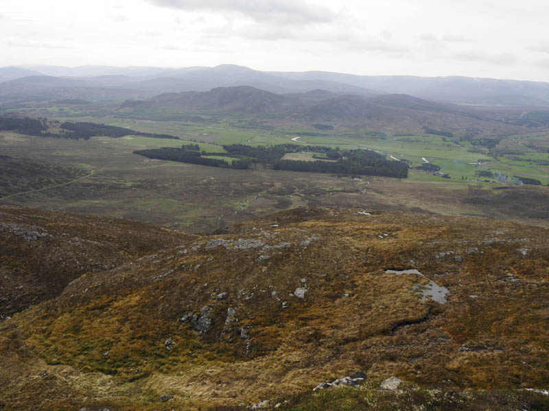
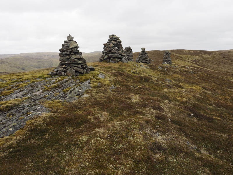
Thereafter I descended its west ridge, easy going, passing five cairns although I don’t know their significance, and onto the summit of the Corbett Top, Blargie Craig. The highest point was an embedded rock but I couldn’t say which one.
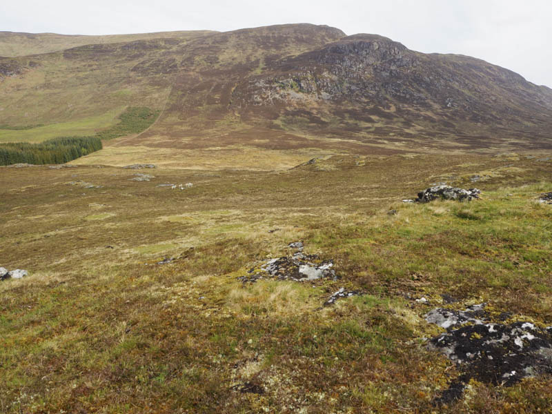
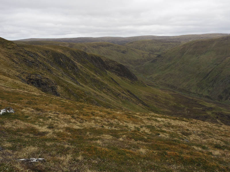
The return east took below the five cairns and Marg na Craige to the col between it and Meall na h-Uinneig and into Coire Each.
It was then a steep descent, rough and muddy due to deer, following the Allt Ruigh an Toisich into Srath an Eillich. From there I climbed Binnein Mor, easy going at first but tougher higher up due to the long heather. A cairn marked the summit of this Hump.
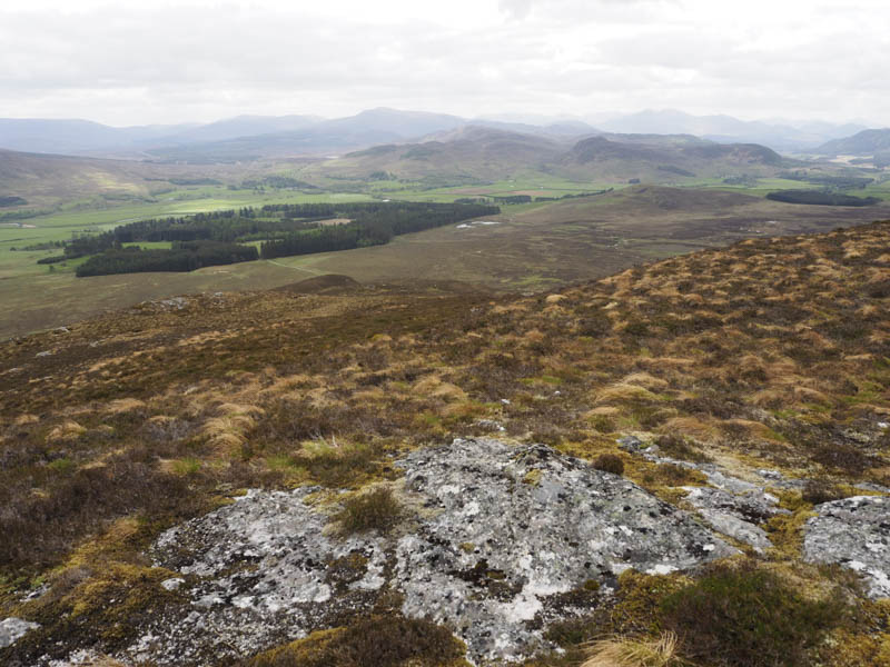
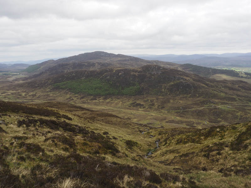
I then descended south-west and onto the track, a Right of Way from east of Cluny Castle through to Glen Banchor. On reaching the trees I walked through them to rejoin the path near Balgowan then it was a short walk back to my car.
- Time taken – 6.5 hours.
- Distance – 17.75 kilometres.
- Height climbed 910 metres.