Back in December 2022 I climbed the Tump, Carn nan Eagan, located south of the Graham, Carn Glas-choire, from the B9007 Duthill to Ferness Road north of the A938 Carrbridge to Dulnain Bridge Road. At this time I noted that the hills to the east of the Graham would make an interesting walk.
Since this visit works in the area, cable laying, was complete and I read that parking was permitted on the access track to Auchterteang around 200 metres from the B9007. I drove down this track and parked beside gates and a cattle grid where there was a no unauthorised vehicle beyond this point sign. There was just enough space for a couple of cars on the north side of the track.
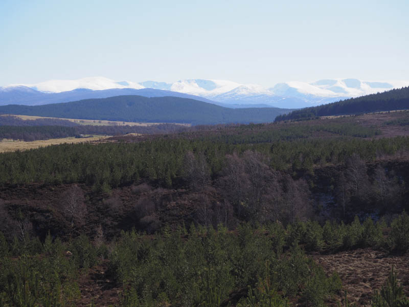
It was sunny with some overnight frost as I set off along the track to Auchterteang where the vehicle track passed between the house and outbuildings. The track then climbed north through the fir trees with views back to the snow capped Cairngorms. Beyond a second cattle grid I came to a junction of tracks and continued north. (The track to the left led to Carn Glas-choire and Carn nan Eagan)
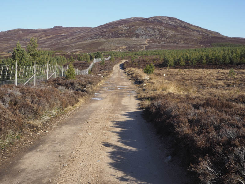
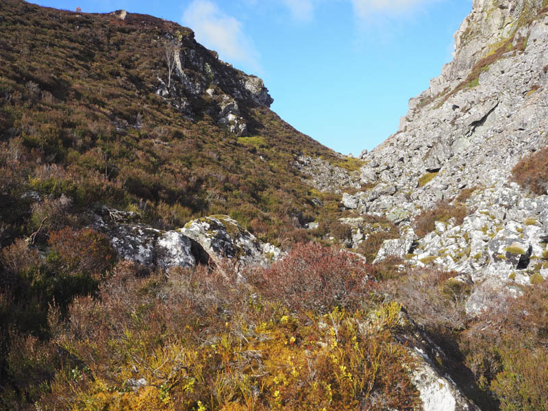
My chosen track was rougher and steeper and at an obvious right hand bend I left the track and climbed steeply north, initially on what appeared to be an old stalkers path then on some animal trails. There were a few mountain hares around still in their winter coats. I came to an unexpected steep drop into a gully and was forced east until I could descend through heather into the gully.
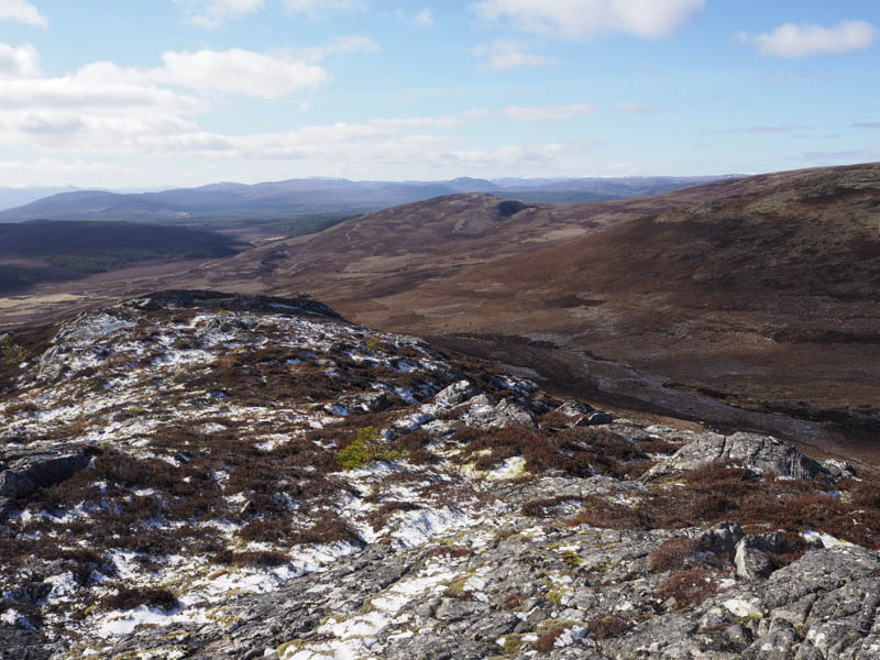
It was then a steep ascent before easing as I approached the summit of Creag na h-Iolaire South Top. The highest point of this Sub Dodd was a cairn.
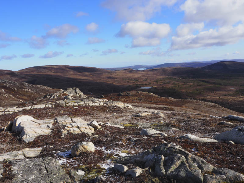
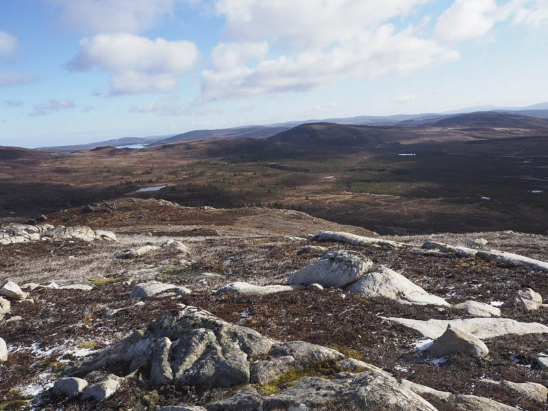
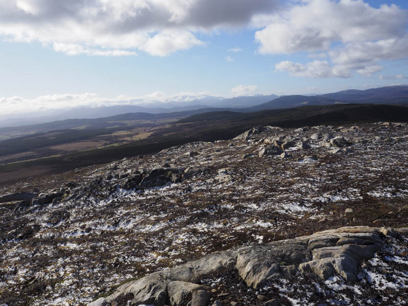
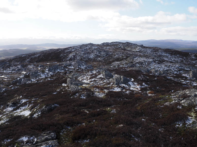
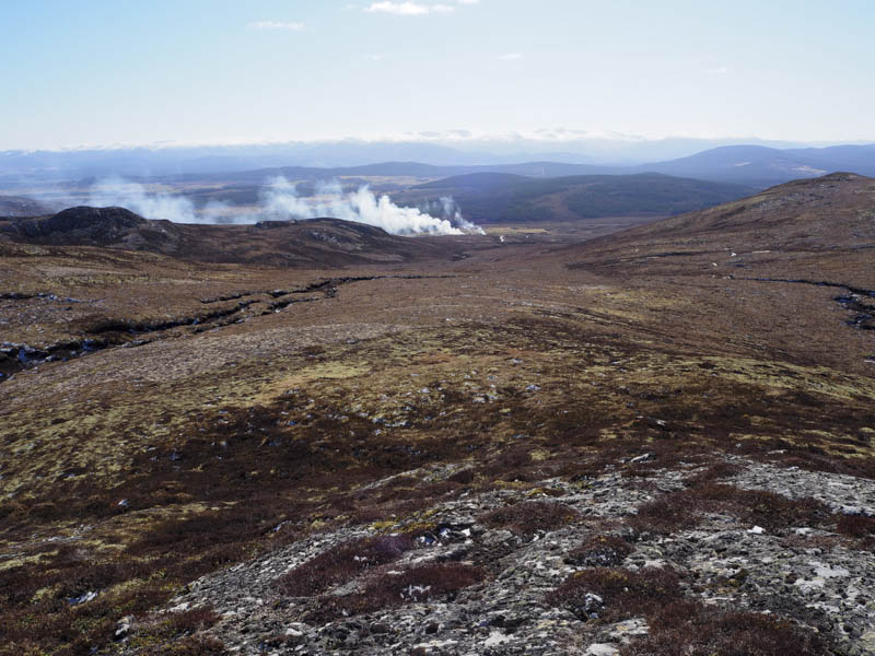
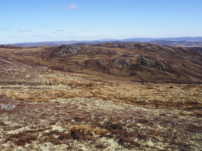
Despite the sun there was a cool breeze but I stopped here for a while to take in the views. On leaving this top there was another gully to the north so I diverted round it before heading for Creag na h-Iolaire initially steeply. The gradient later eased and I crossed an ATV track to reach the summit of this Sub Dodd marked by a stone on an outcrop.
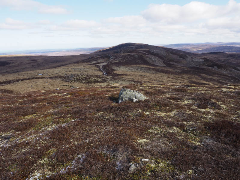
My next hill, another Sub Dodd, was out to the west so I descended to and crossed the ATV track as well as a new vehicle track and made the short climb to the summit of Cnapan a’ Choire Odhair Mhoir South Top. The highest point appeared to be an outcrop at the north end of the ridge.
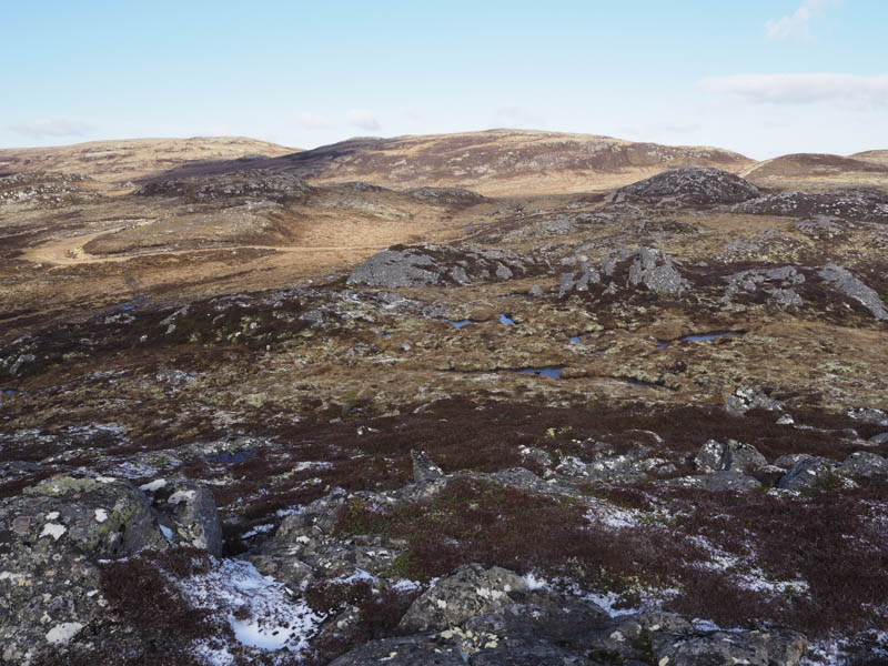
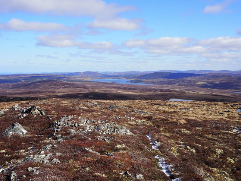
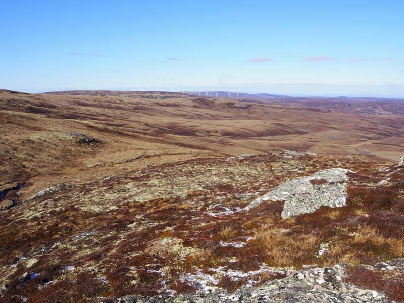
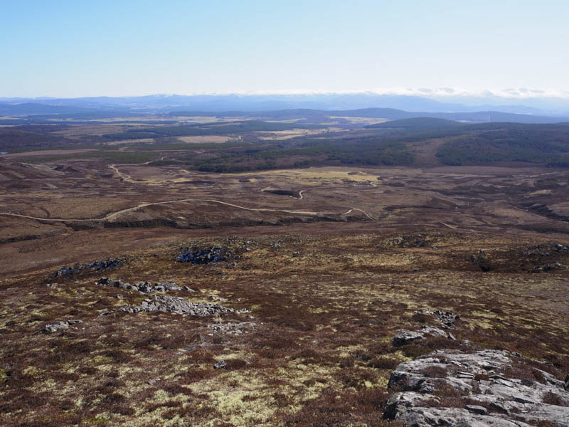
I returned to the new vehicle track and followed it north to its highpoint. The track continued north and was possibly part of the Tom na Clach Wind Farm project. A short section of track headed north-east so I walked along it to a turning point.
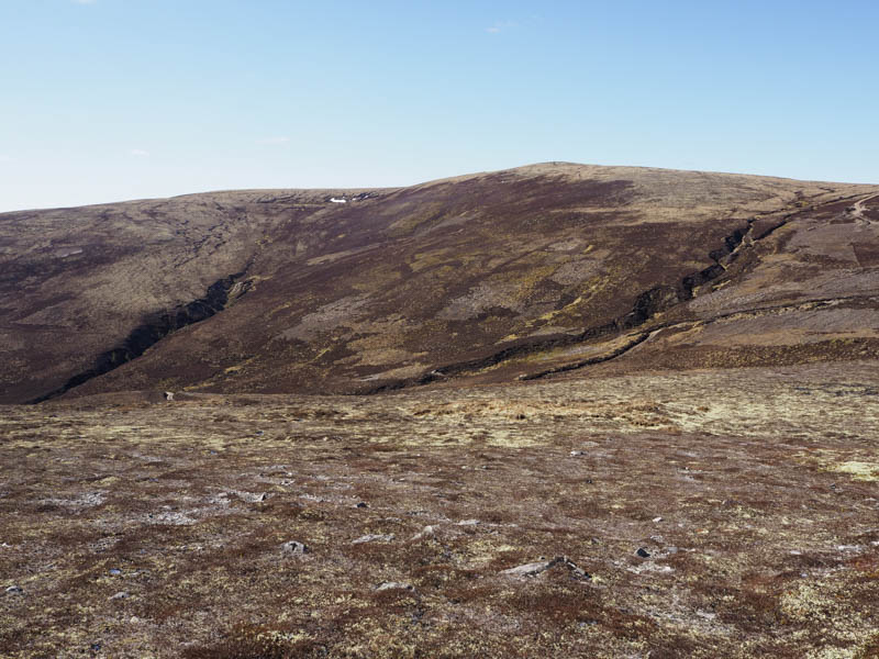
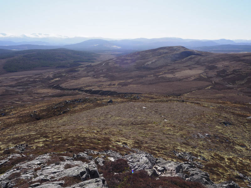
Various tracks then led across Carn Mheadhoin and to a tidied down gate in a stock fence. Once across this gate I continued north-east and onto Carn Allt Laoigh, the highest point of this Tump was marked by a cairn.
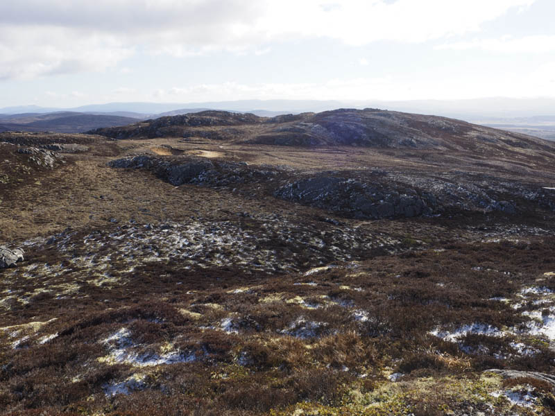
I headed back to and crossed the new vehicle track then it was through some frozen boggy ground before climbing to the summit of Cnapan a’ Choire Odhair Mhoir. The highest point of this Graham Top was marked by a cairn on a large rock.
After another break I descended south-west. Here the ground was a bit soft but would have been worse if it hadn’t been for the overnight frost. I then climbed Tom na Gabhar, another Sub Dodd. The highest point was a small cairn at the north end of the ridge.
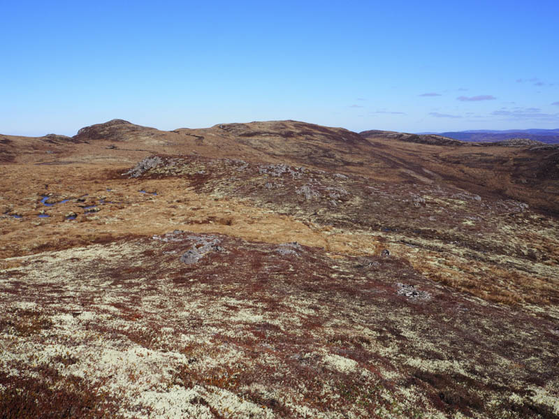
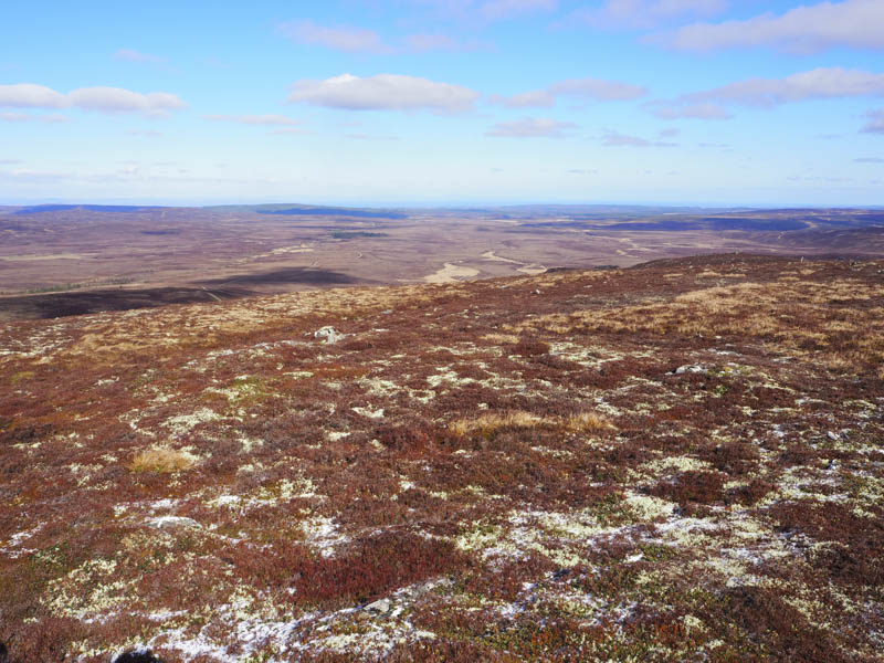
I thereafter descended south through mixed vegetation, easy enough, to join the vehicle track giving access to Carn Glas-choire. I then followed this track back to the start.
- Time taken – 5.75 hours.
- Distance – 16.25 kilometres.
- Height climbed – 535 metres.