Parked at the north side of the A831 Beauly to Cannich Road at the start of the vehicle track opposite Erchless Castle. Went through a gate then using this track, which was in good condition, climbed steadily NNE through the mature trees on the west side of the Erchless Burn. Overtaken by a chap on an ATV who returned a short time later, but he didn’t stop so I presumed there was no stalking in the area.
At the point where the track made an obvious left turn and went west, left it and followed a narrower track north through some open ground to gates in a deer fence, including one for walkers. Beyond, the track gained a bit of height as it passed through a newish plantation. The track later began to deteriorate then gradually disappeared in the long and wet vegetation. It was rough going on a wide gap between the young trees eventually reaching another deer fence and gates, including one for those on foot.
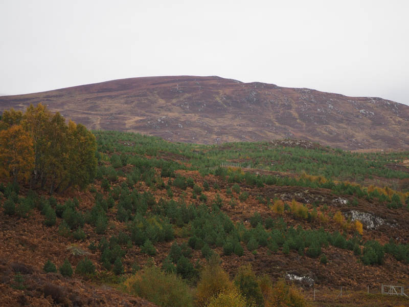
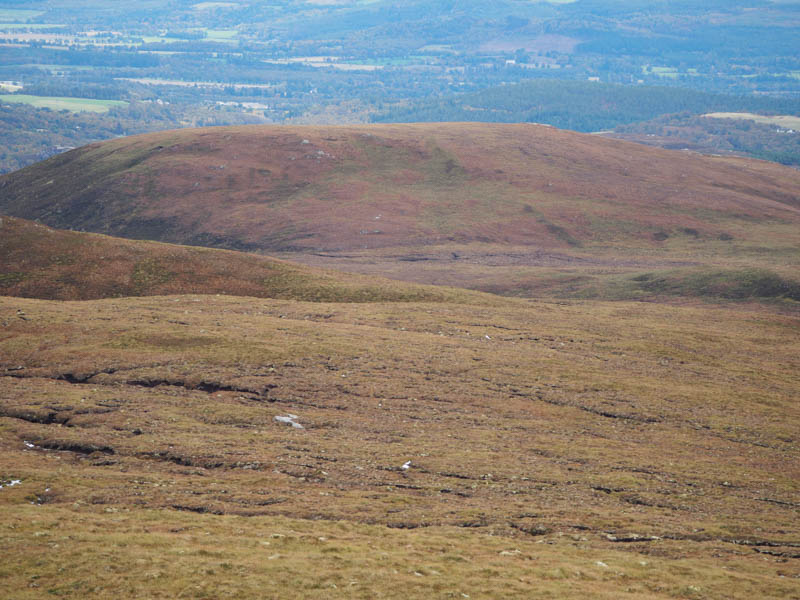
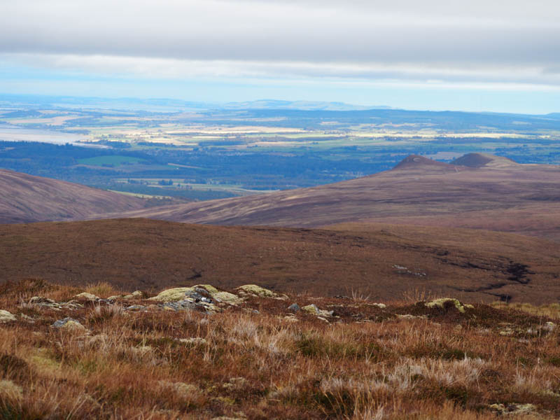
With shorter vegetation, heather and some bare peaty ground, progress was easier. Higher up came to the deer fence again and an old ATV track which was used briefly before the final ascent of Beinn a’ Chlaonaidh, two hours after setting out. Due to the flattish summit, it wasn’t possible to determine the highest point of this Tump, although possibly a clump of vegetation.
Descended north-west, twice crossing a stream, then went west, occasionally on some deer tracks, onto the summit of the Tump, Carn na Gearrsaich. The highest point appeared to be a pile of rocks.
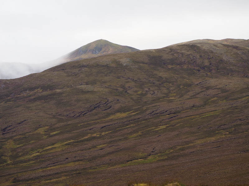
Headed off in a north-easterly direction dropping to some bog pools before climbing through a few peat hags onto Beinn nam Fitheach. Some vegetation seemed to be the highest point of this Sub Tump.
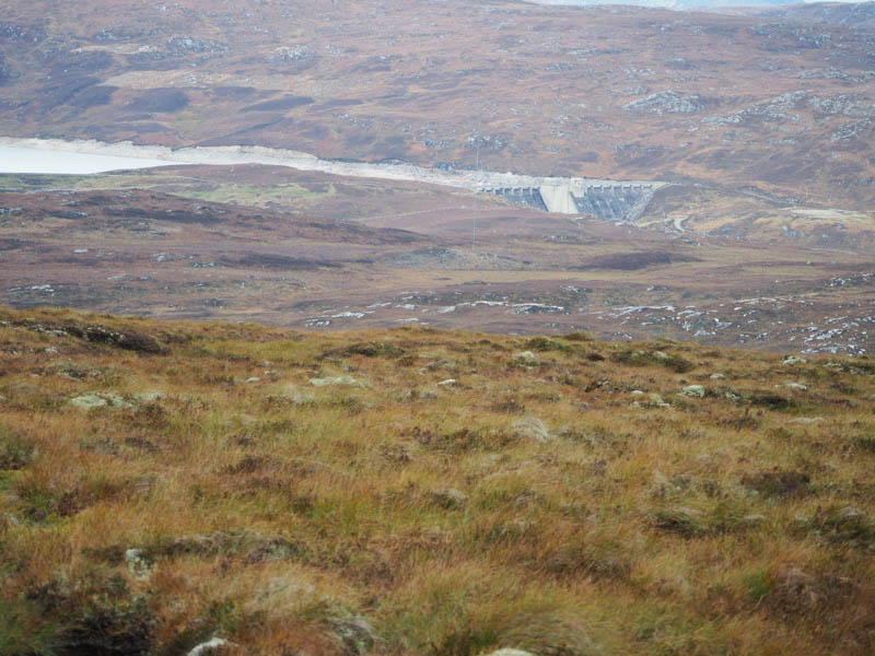
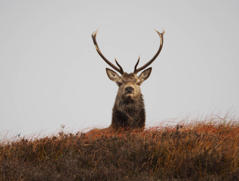
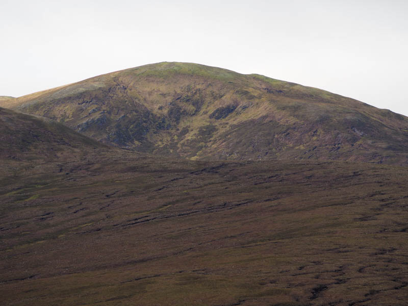
It was a long descent north-east across mixed vegetation. There were some rifle shots, but they appeared to be coming from well to the north-west. On reaching a U bend in a vehicle track (NH4355 4733) beside a small hydro dam, walked north-east then east with a slight loss of height. The track then turned south-east steadily gaining height onto Cnoc Eille Mor. At the highest point on the track left it and walked the 65 metres to the summit of this Tump marked by a rock.
Returned to the track and commenced the 7.5 kilometres back to the A831. It wasn’t all downhill, there were a few small rises with lots of pools of water which required bypassing. A couple of cyclists were headed uphill. The track continued down the east side of the Erchless Burn and eventually led into the forest then lower down passed a cottage before joining the main road followed by a short road walk to the car.
- Time taken – 7 hours 35 minutes.
- Distance – 23.5 kilometres.
- Ascent – 785 metres.