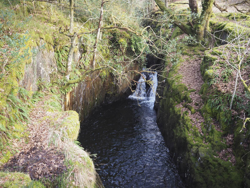
Glen Trool, accessed off the A714 Girvan to Newton Stewart Road, was the starting point for this walk. We parked at the end of the tarred road (east end) where there was parking for several vehicles. (Parking was also available further west.)
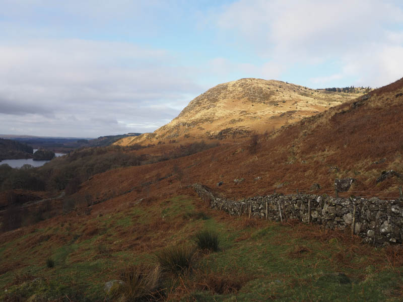
We set off downhill passed the house at Buchan and to the signposted path for Loch Valley.
This path was initially very muddy then it improved but only slightly.
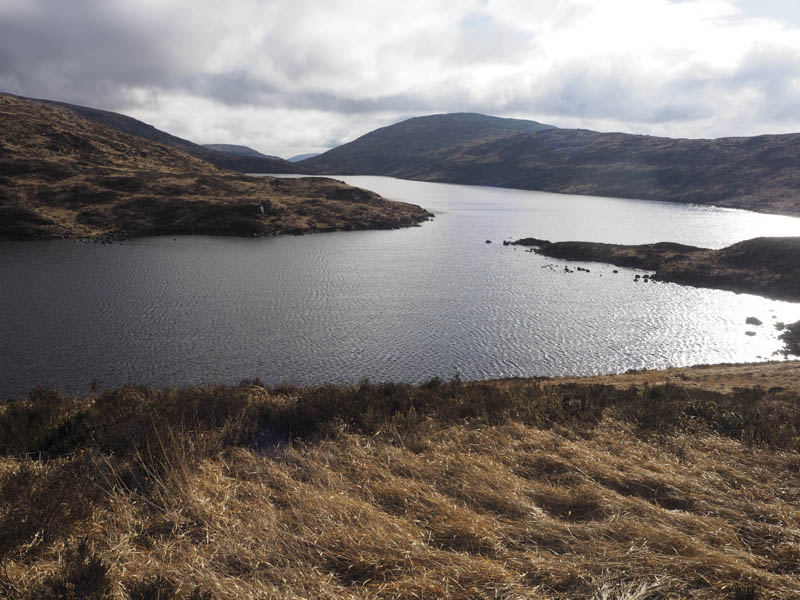
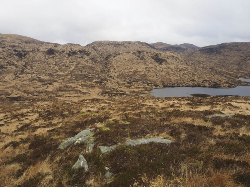
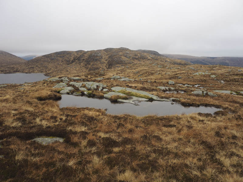
The path was quite rough with areas of bog making for slow progress up the west side of the Garland Burn. On approaching Loch Valley we left the path although it wasn’t very obvious here, crossed some rough vegetation and followed a few animal trails onto Meaul.
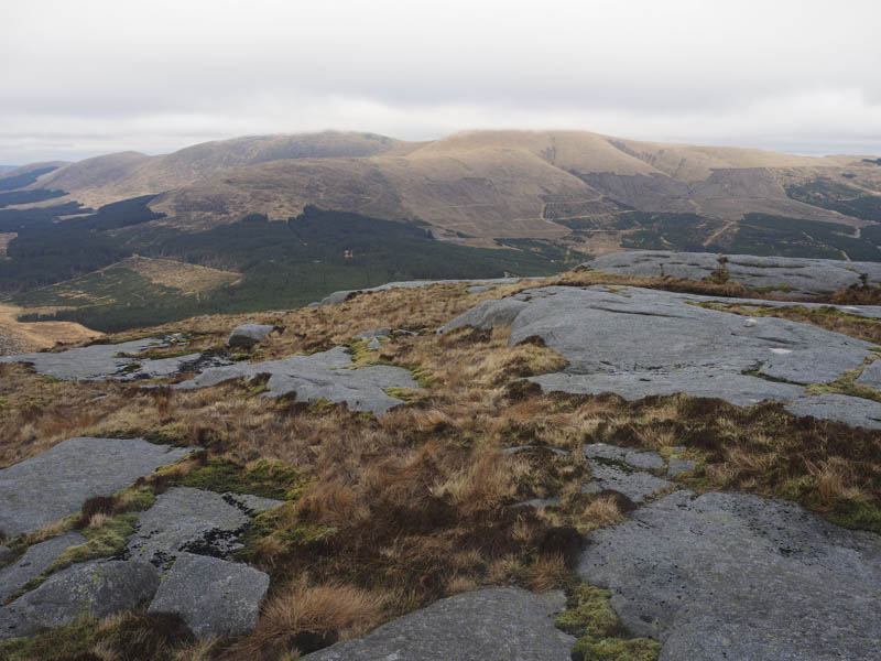
The highest point of this Tump appeared to be a moss covered boulder.
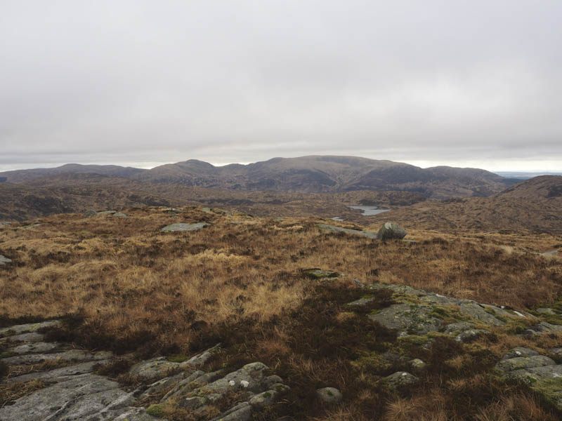
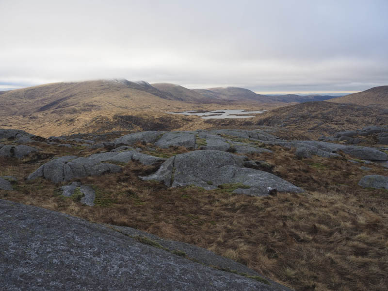
From there my friends set off for Mullwharchar around the west side of Loch Enoch while I descended north through tussocky ground and along deer tracks to the west side of Loch Neldricken. From this lochside I climbed NNE to the west of Ewe Rig and Loch Arron before ascending Craig Neldricken through more rough vegetation, avoiding the boulders. The highest point of this Tump was an outcrop.
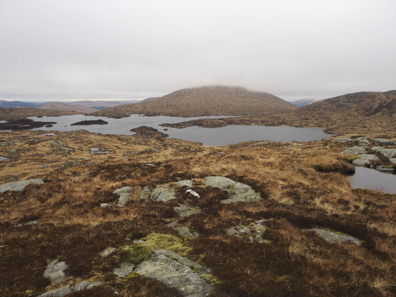
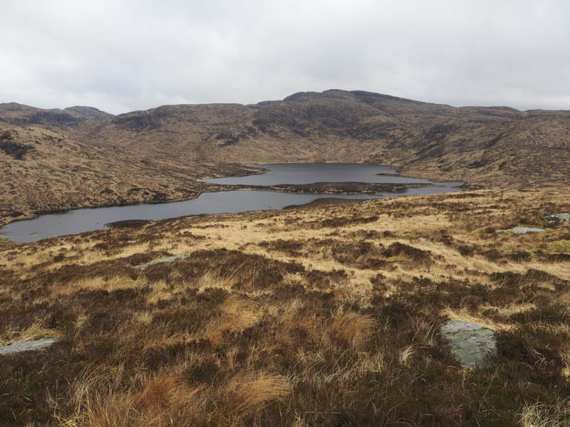
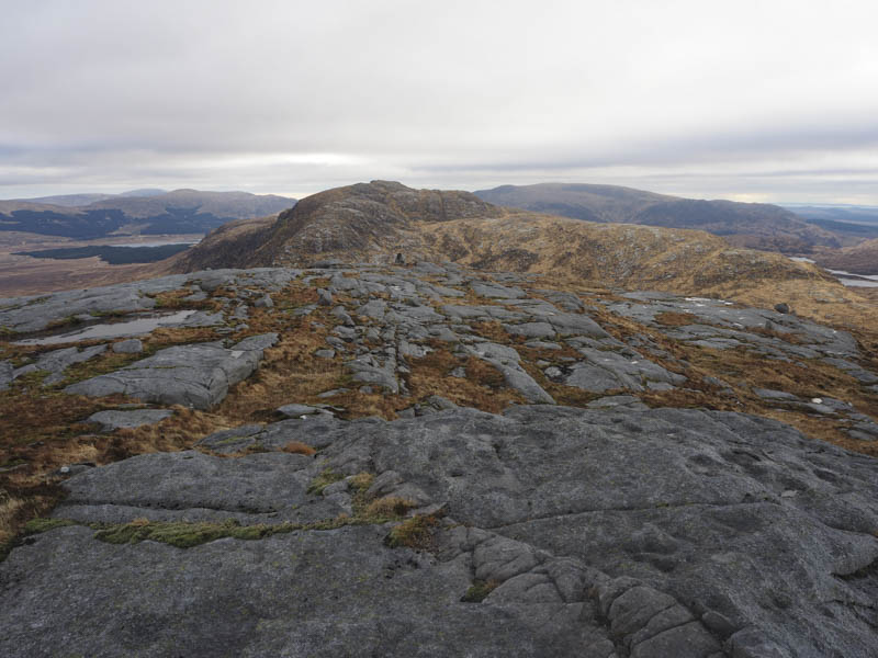
The descent north-east off Craig Neldricken was through more tussocky ground and to the south-east corner of Loch Enoch before walking north on traces of a path or animal trials as well as short sections on the loch’s sandy shore. Once beyond it I commenced the ascent of Mullwharchar through rough vegetation. The summit of this Graham (also a Donald) was a rock some distance east of the cairn.
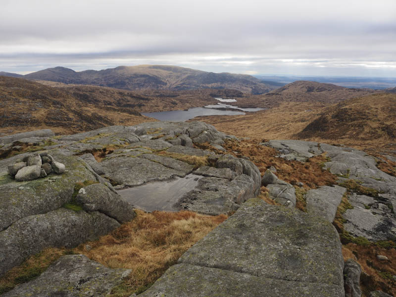
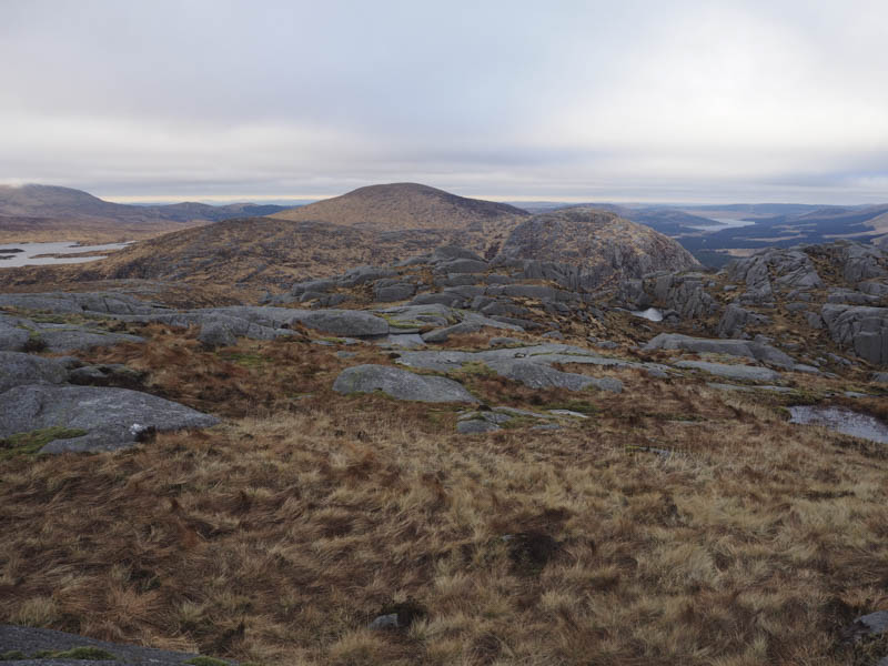
Here I met up with my friends and we descended towards the col with Dungeon Hill where again we parted company. I crossed the Pulskaig Burn and commenced the ascent of Dungeon Hill through the rough vegetation and higher up round boulders and crags to reach the summit of this Graham Top. (also classed as a Donald and a Hump) The highest point was a slab of rock west of the cairn.
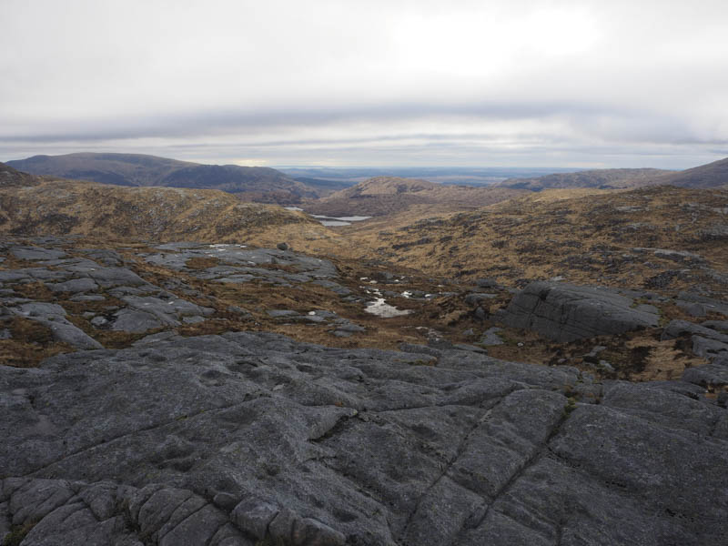
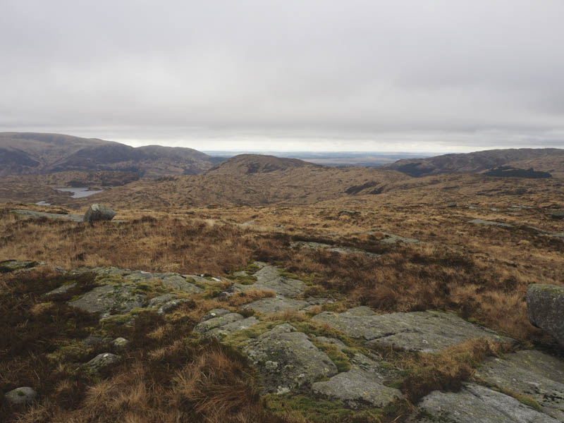
The descent round the crags took me to the col with Craignairny then it was a short walk to the summit of this Tump marked by an outcrop north of the cairn.
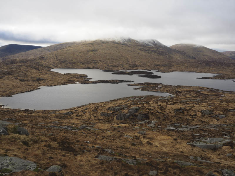

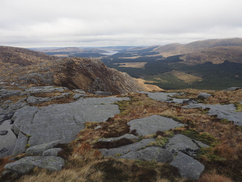
From there I descended south which involved finding a route through the crags to reach the col with Craignaw then paths led to below more crags. I worked my way round them to the west and onto the summit of the Graham, Craignaw, (also a Donald) marked by a cairn, where I again rejoined my friends.
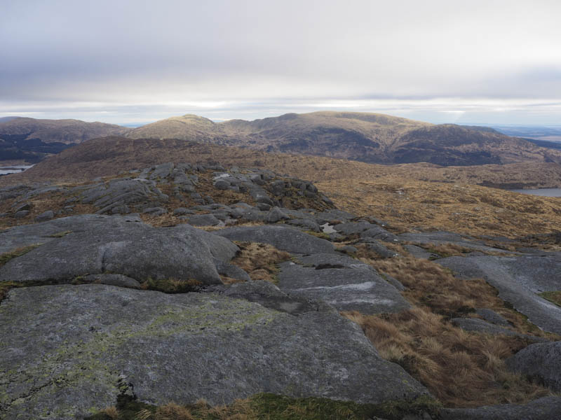
We descended south through more crags and boulders later heading west. The vegetation was what appeared common to this area, tussocks, which was tiring and slowed us down. We passed to the south of Loch Neldricken and to its outflow which was easily crossed due to a dry spell of weather. A rough and boggy path was joined and this took us back to the west side of Loch Valley and to the point where we had left the path earlier that day. The path was then followed back to the start arriving there as it was getting dark.
- Time taken – 9.5 hours.
- Distance – 20.75 kilometres.
- Height climbed – 1105 metres.