I drove north to Bonar Bridge and at the junction of the A836 and the A949 continued east then north-east along a minor road to just beyond Sleastary, my planned starting point. There were various signs including a Health and Safety sign and one for The Carnegie Road and Path which stated Loch Laro 4.5km and Achinduich 7.9km.
It was still a touch dark and in low cloud it wasn’t possible to see the reason for the safety sign. I left my car beside the entrance, crossed a tied down gate, and walked along the vehicle track which had been resurfaced with hard core. However I soon left this track and climbed through heather with traces of a path although it was probably just an animal trail, to the summit of the Tump, Sidhean Mor, which was ground eight metres north-west of a fence corner. By this time daylight had arrived but it was still dull due to the low cloud.
I descended north-east to rejoin the vehicle track and followed it north later going under some power lines. Here a new pylon had been constructed hence the reason for the Health and Safety signage, although no work was taking place on the day of my visit. The addition of new hardcore to the vehicle track ended here but beyond the track appeared to have been scraped and the drainage at the edges improved as far as the property at Garvary, which looked vacant. The work was on-going and according to an internet search it may have been in connection with the construction of a new wind farm.
Beyond a stock gate the track continued but it was pretty dire, lots of pools of water and bog churned up by quad vehicles. At NH63369996 I left it and followed an ATV track off to the west but its condition wasn’t any better so I abandoned it and climbed north-west through grass, heather and moss in limited visibility of around 150 metres, to the cairn marking the summit of the Hump, Meall Eachainn.
From there I descended north and crossed a rather flat and wet col before climbing the Tump, Cnoc Cracail, the highpoint being a heathery knoll.
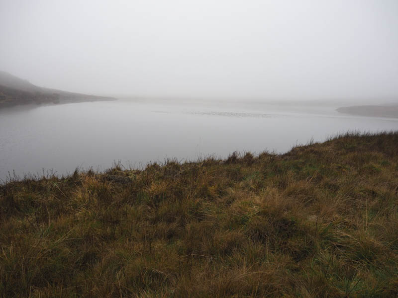
I then descended south-east through more rough vegetation and wet ground to reach the outflow from Loch Cracail Mor. Here I crossed a fence topped with barbed wire at a point where a piece of plastic protected users then a wooden sleeper took me over the outflow. Beyond there were a couple of boats obviously used for fishing.
On leaving the lochside I headed east but was soon confronted by a deer fence. There was a gate nearby but no tracks beyond it. I climbed through a young plantation of mixed varieties but at times it was tough going due to the hollows containing water. Higher up I crossed the deer fence and followed it north, the walking now easier as there with some deer tracks to follow. I later left this fence and climbed through heather to the summit of the Hump, An Stoc-bheinn, marked by a cairn.
The descent south-east was initially through short heather which was later replaced by more rough vegetation as I headed towards the west end of Loch an Saobhaidhe. On reaching this loch it was a short climb to the summit of the Tump, Carn Loch na Saobhaidhe.
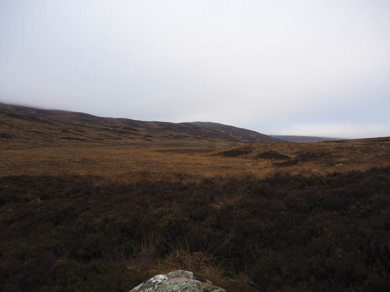
With no improvement in the visibility, still sitting around 150 metres, nor any change in the underfoot conditions, I descended south-west to Lochan na Faolaig, walked round its west end, and gradually descended towards Garvary. Lower down I stopped for lunch and during this break the cloud began to lift and at long last I had some views although the cloud never cleared all the tops.
Afterwards I continued to the vehicle track at Garvary and followed it back to the start.
- Time taken – 6.25 hours.
- Distance – 17.5 kilometres.
- Height climbed – 490 metres.