Glas Bheinn and Creag na h-Iolaire – I left my vehicle in the car park at Kirkton on the south side of the A896 just east of Lochcarron, crossed the road and walked along a track signposted ‘Kishorn Road via Kirkton Wood’, which took me towards a cottage and the route round its east side beside the 18th Tee of Lochcarron Golf Course. Beyond the cottage the Kishorn path branched off to the left but I continued north across some waterlogged ground to a gate in a deer fence. (NG908414)
Thereafter the vegetation was long and wet from overnight rain and despite wearing gaiters my trousers around the knees were getting wet so I stopped to put on overtrousers. The vegetation then became a bit longer with dying bracken and bog myrtle and included a few gorse bushes which I managed to avoid. Not the best of starts to a walk!
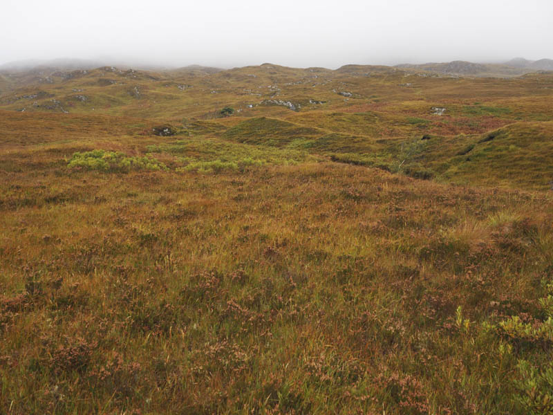
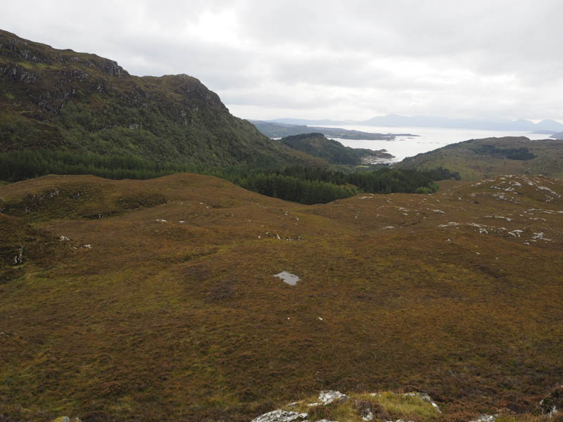
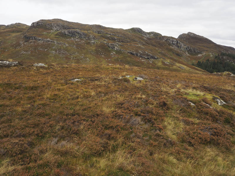
As the gradient increased the walking became easier and it was a steady climb north-west through heather, grass and moss avoiding a few corries and knolls.
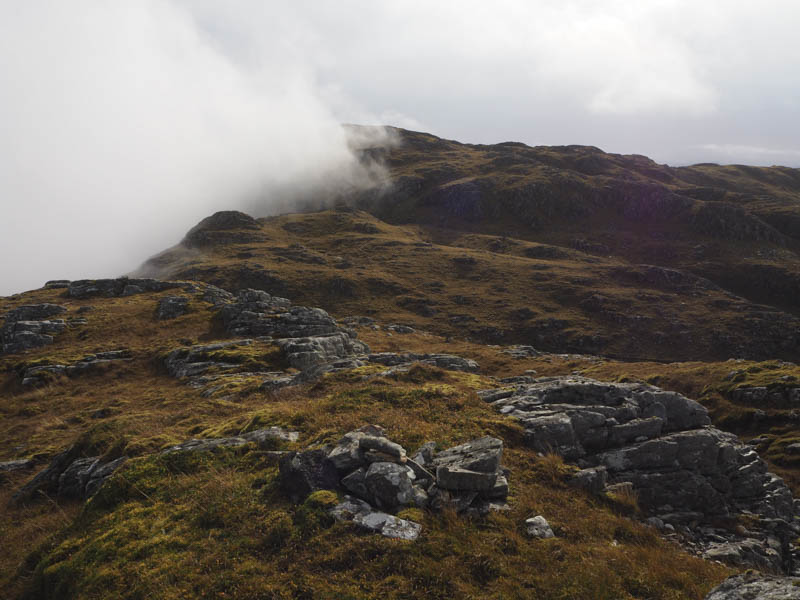
Eventually, with limited visibility due to low cloud, I reached Glas Bheinn’s South-West Ridge (NG895430) and walked north-east along the undulating ridge to the trig point which was lying at an angle due to some missing stones.
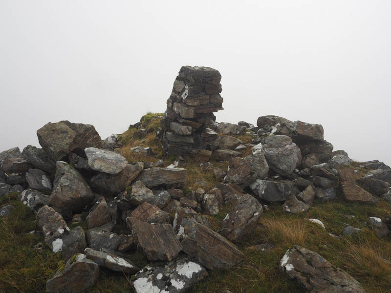
From there I climbed north onto the summit of Glas Bheinn. The highest point of this Graham Top and Hump was a cairn on an outcrop.
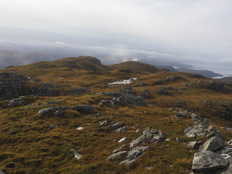
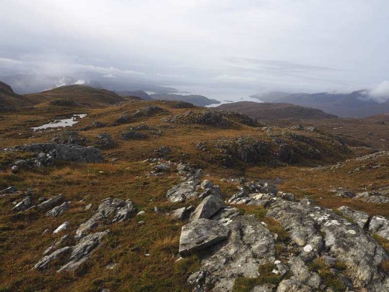
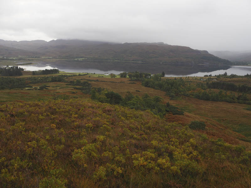
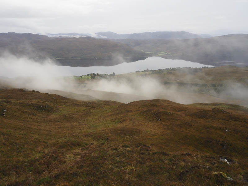
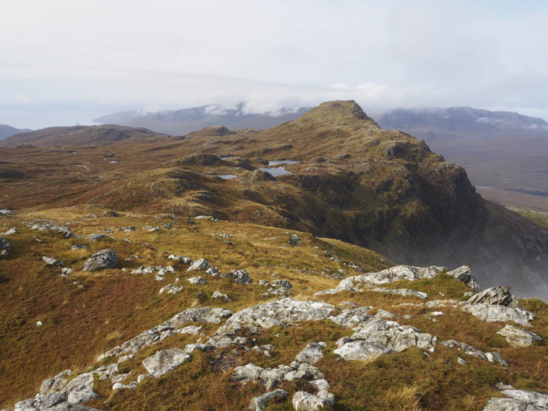
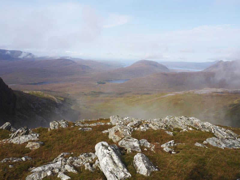
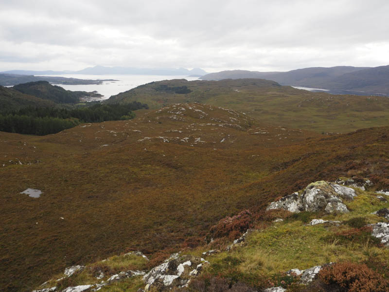
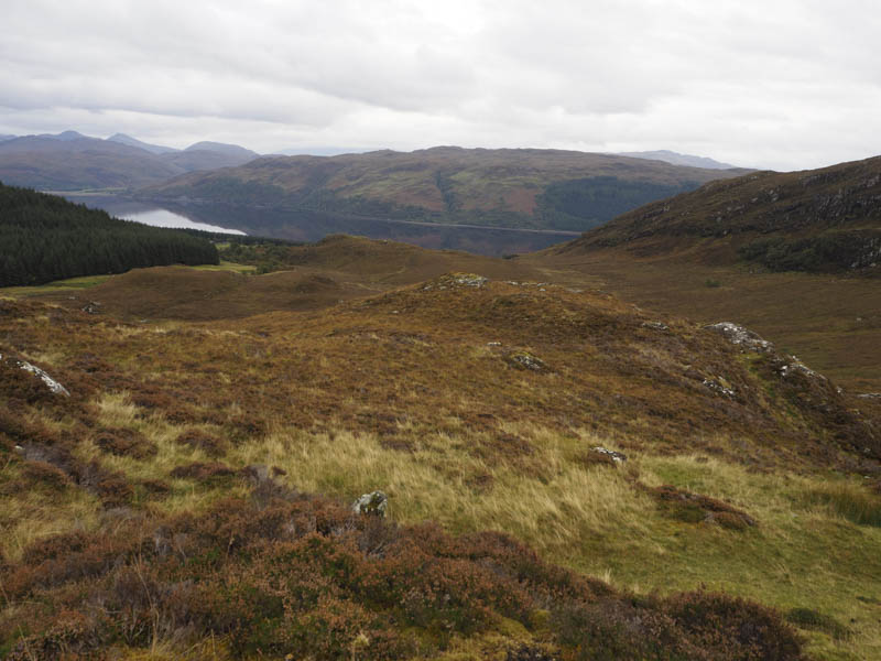
The cloud appeared to be lifting so I sat around for a while but it never totally cleared but I did get some views before descending north-east then north looking for the easiest route to the col with Creag na h-Iolaire. I passed to the east of a small lochan then it was a short easy climb to the summit of this Graham Top, a rock just west of the cairn. The views were better from here although cloud still hung around Glas Bheinn.
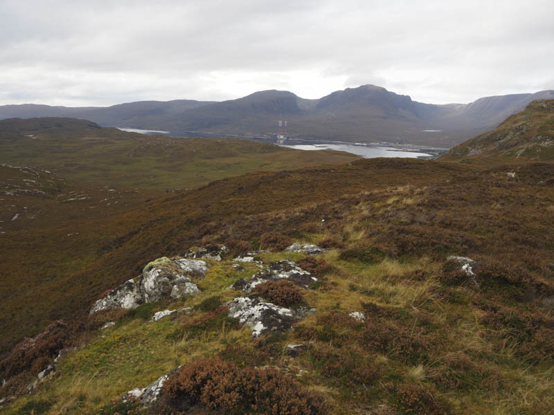
The descent took me to the west end of the small lochan then I worked my way south-west below Glas Bheinn’s Western Corries before climbing onto the ridge at NG 898434, west of the trig point. It was then a fairly steep but easy enough descent south-east, avoiding a couple of crags, until lower down when I followed deer tracks which became muddy and led to a deer fence amongst gorse bushes.
The deer were able to go under the fence at a small stream but I had to climb over it before pushing my way through these bushes. This led to the waterlogged grassy area and to the path beside the cottage which took me back to the car park.
Cnoc Mheadhonach – I parked at the side of the minor Lochcarron to Stromemore Road beside the vehicle track leading to Strome Carronach and walked up this track to the houses and buildings there. Beyond them another vehicle track ran west along the side of a wooded area later entering the trees via a locked stock gate.
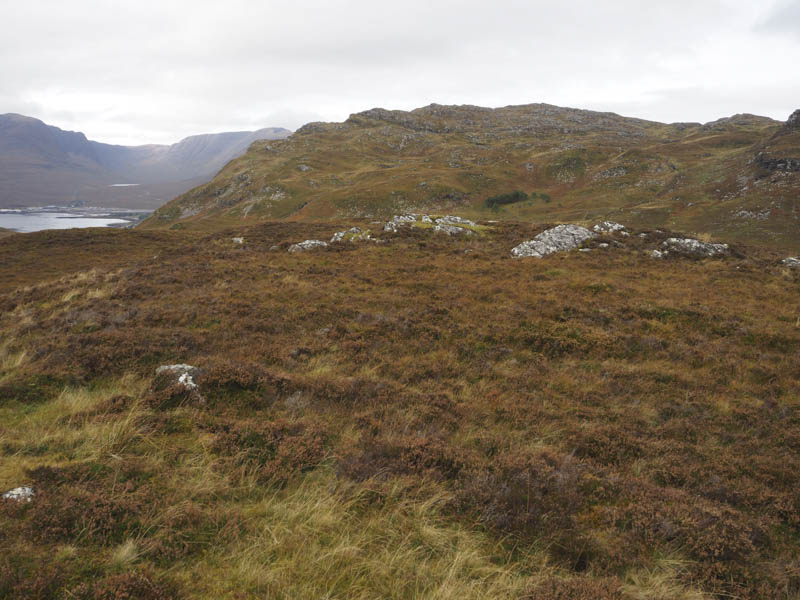
I continued along the outer edge of the forest on grassy tracks which were wet and muddy in places. This led to waterlogged and boggy ground where I crossed a stock fence and commenced the ascent of Cnoc Mheadhonach through mostly heather which took me to a vegetated outcrop marking the summit of this Tump.
The return was by the ascent route.
- Total time taken – 6.75 hours.
- Total distance – 14.5 kilometres.
- Total height climbed 1015 metres.