In January of this year I climbed a few of the hills to the north-east of Invermoriston so on this trip the plan was to climb Carn Mor to the north and include some of the hills to the north-west. Invermoriston is located on the A82 Inverness to Fort William Road at the junction with the A837 road to the Isle of Skye and has a large free car park.
I made use of this facility rather than drive up the narrow steep single track road to opposite the turn off for the Great Glen Way where a vehicle could be left. We walked across the A82 and A837; there were a few Great Glen walkers about, onto the road behind the hotel. Beyond a house or two, the road rose steeply with a couple of zigzags then north-west with no obvious passing place for drivers.
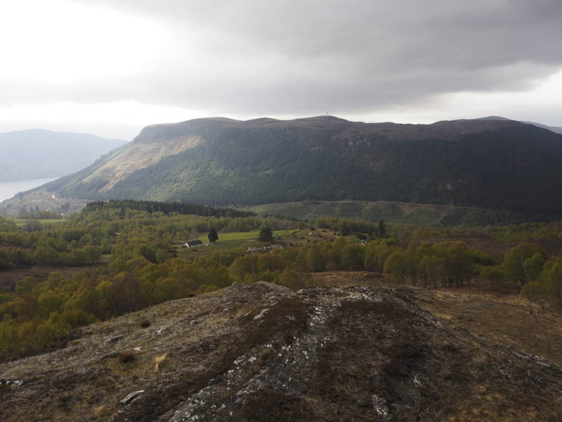
At the turn off point for the Great Glen Way we continued along the road, the gradient having eased, and went through a gate onto a recently tarred section of the road, an improvement on lower down. We continued to Achnaconeran and at the left hand bend before the croft went through a gate in the deer fence. (Grid Ref. NH418178)
Animal tracks along the side of the fence were followed north-west before leaving the fence and working our way through well spaced birch trees onto more open hillside and some rocky knolls.
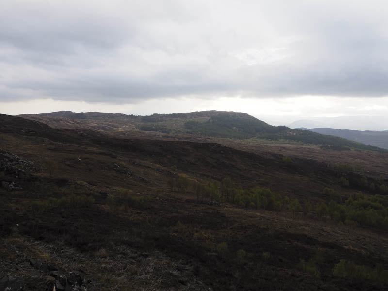
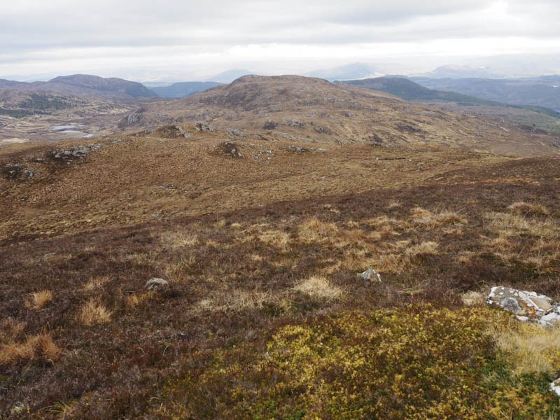
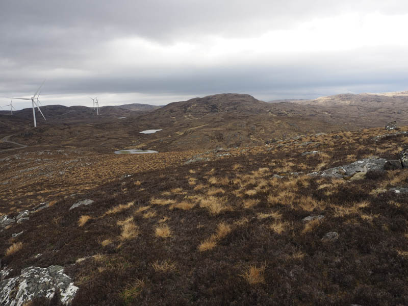
Higher up we crossed a vehicle track, not shown on my map, and continued the ascent through mixed vegetation to the summit of the Hump, Carn Mor, marked by a cairn.
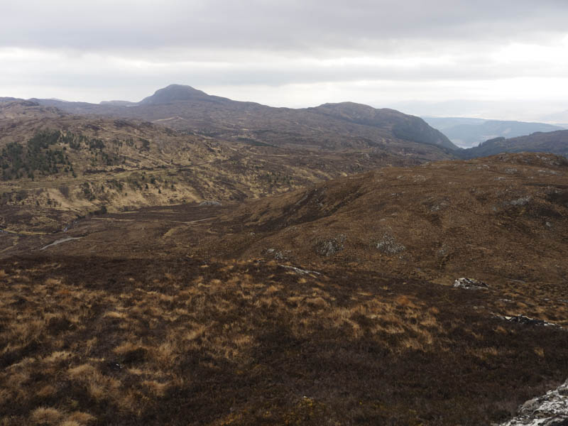
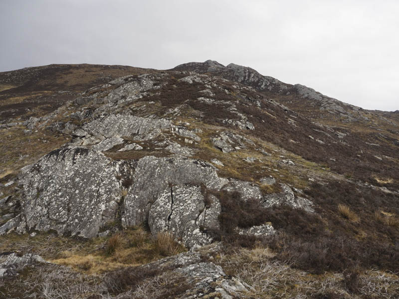
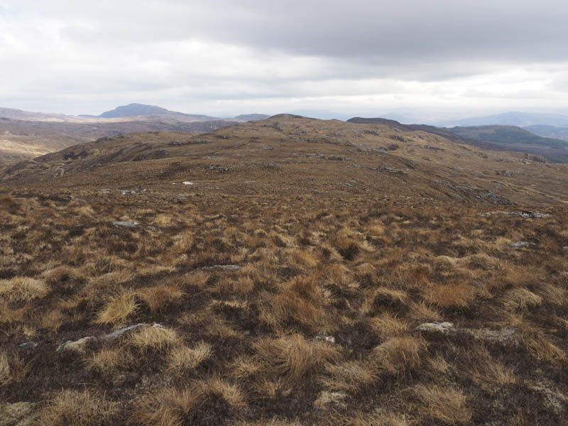
From there we headed west with a few ups and downs, twists and turns to avoid some knolls to reach the col with Carn an Tuairneir East Top, then climbed to the summit of this Tump. The highest point was a concrete post with a ceramic sleeve, a bit odd.
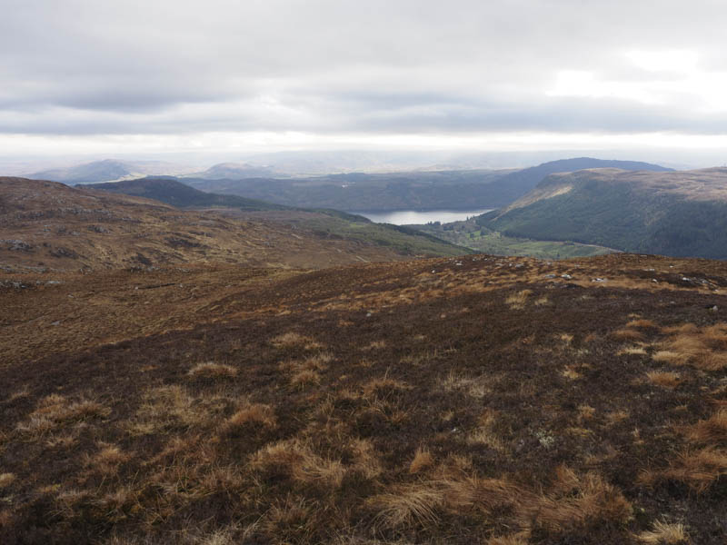
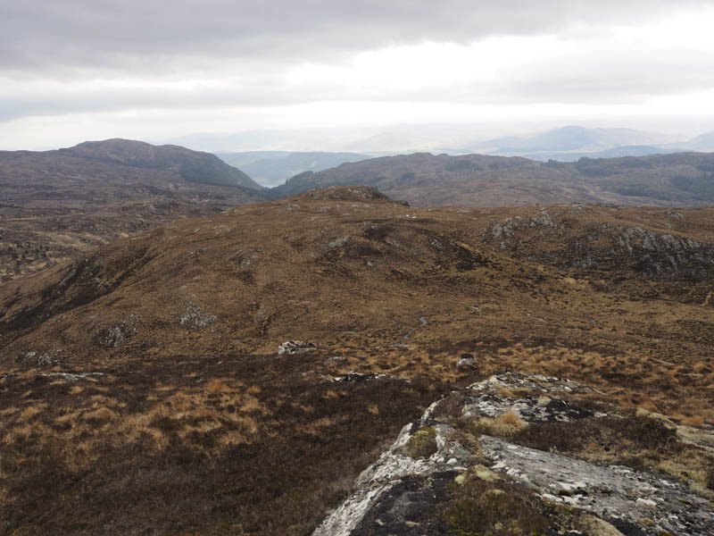
The continuation west also involved avoiding more knolls to reach the col with Carn an Tuairneir. We then climbed over a knoll to reach the summit of this Tump, which was either some heather or an outcrop.
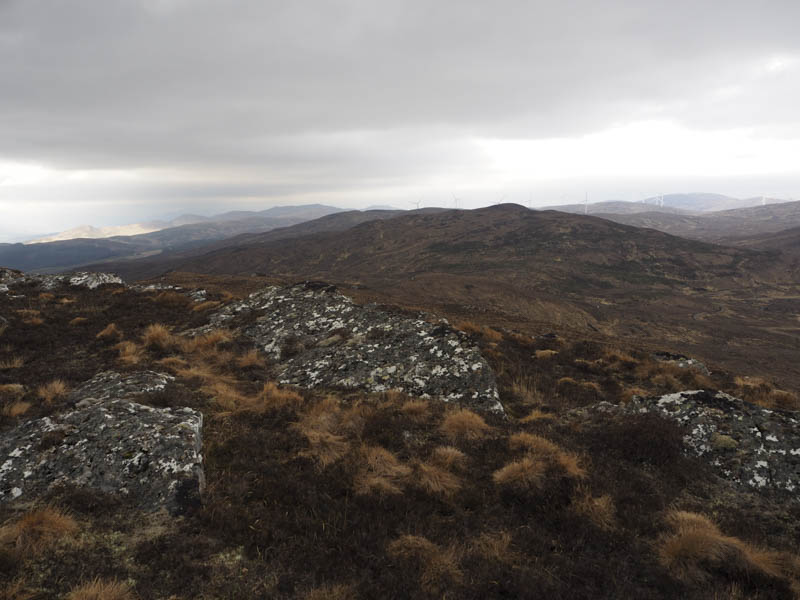
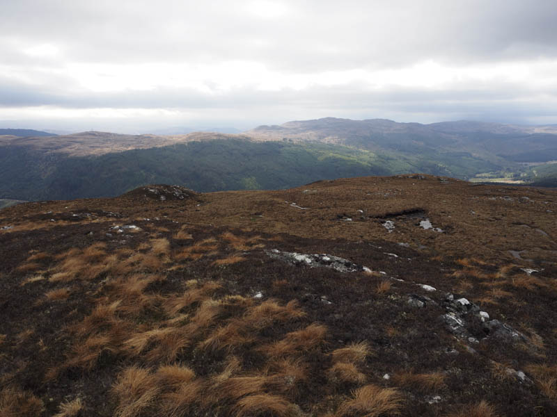
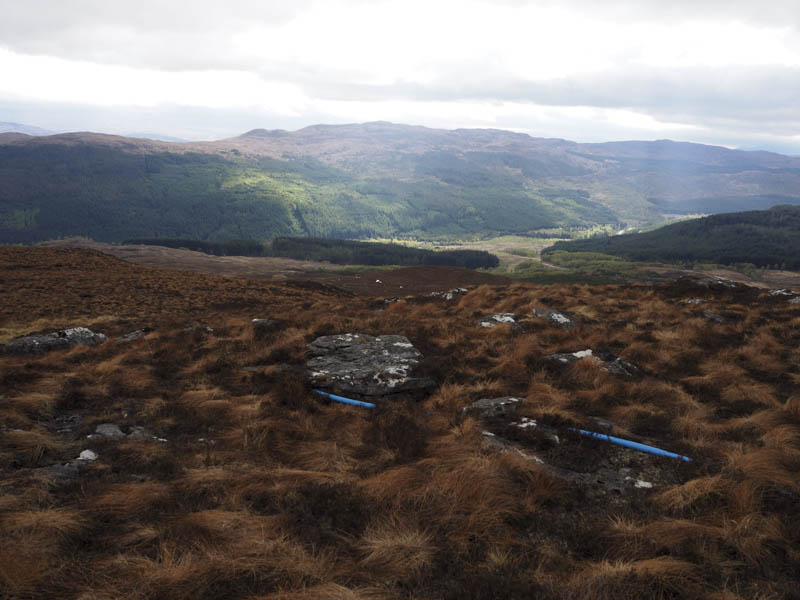
After a break we descended briefly north-west then west before gaining the north ridge of Carn na h- Iolaire. There were two obvious knolls but despite visiting both we couldn’t tell which was the highest.
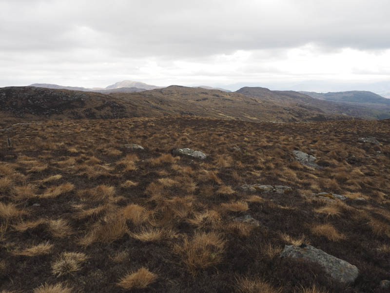
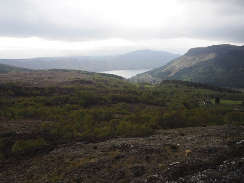
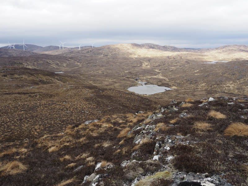
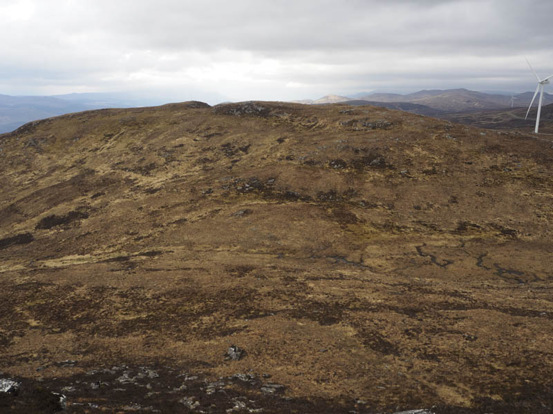
The initial descent was to the south-east, easily enough, before heading east below the Carn an Tuairneir Tumps and to the vehicle track we crossed earlier that day. Continuing east wasn’t an option due to a couple of gullies so we followed the vehicle track, mainly north-east and steeply at times, to west of the crossing point. From there we descended through some rough vegetation to the gate east of Achnaconeran Croft then the road walk back to Invermoriston.
- Time taken – 5.75 hours.
- Distance – 14.5 kilometres.
- Height climbed – 775 metres.